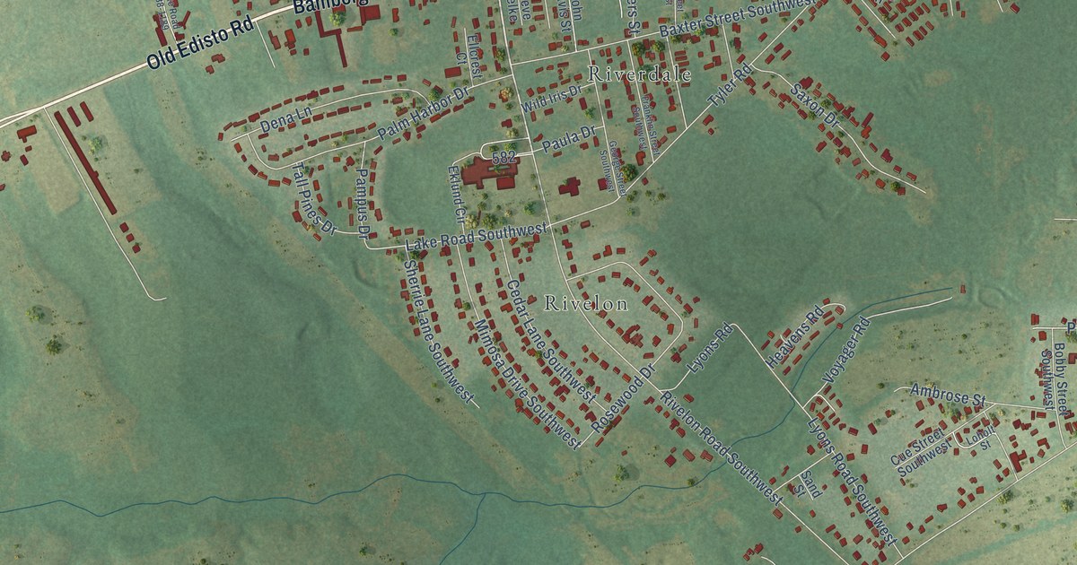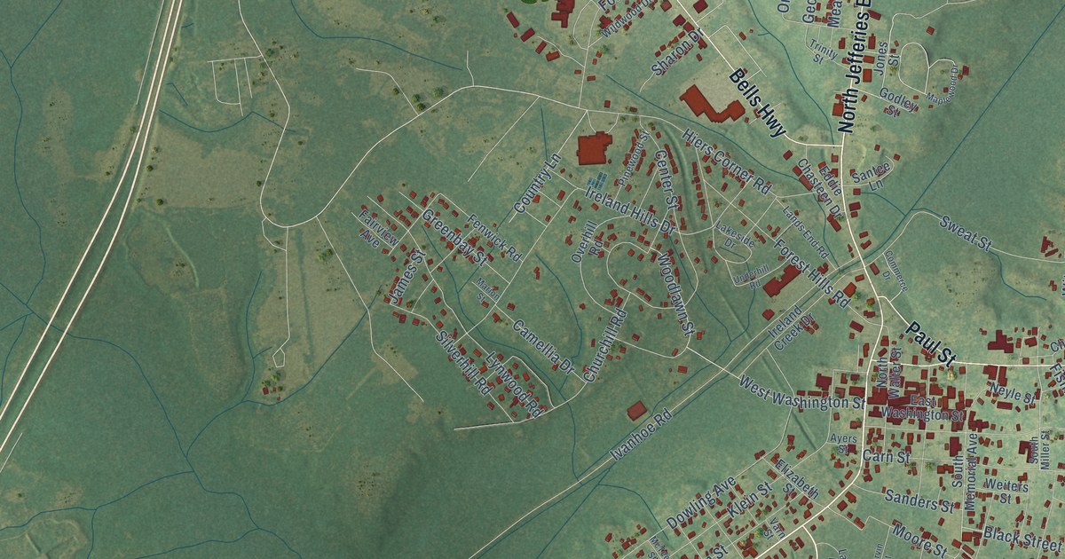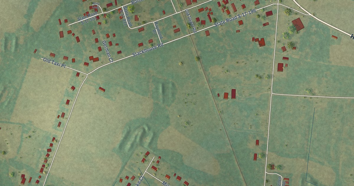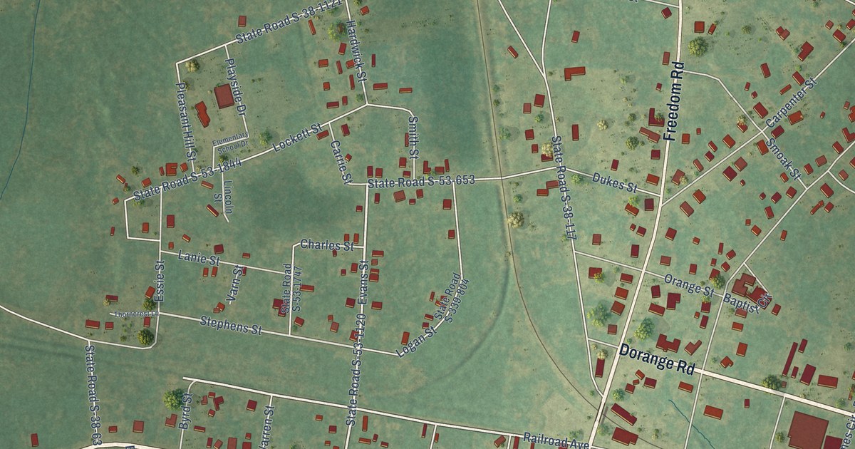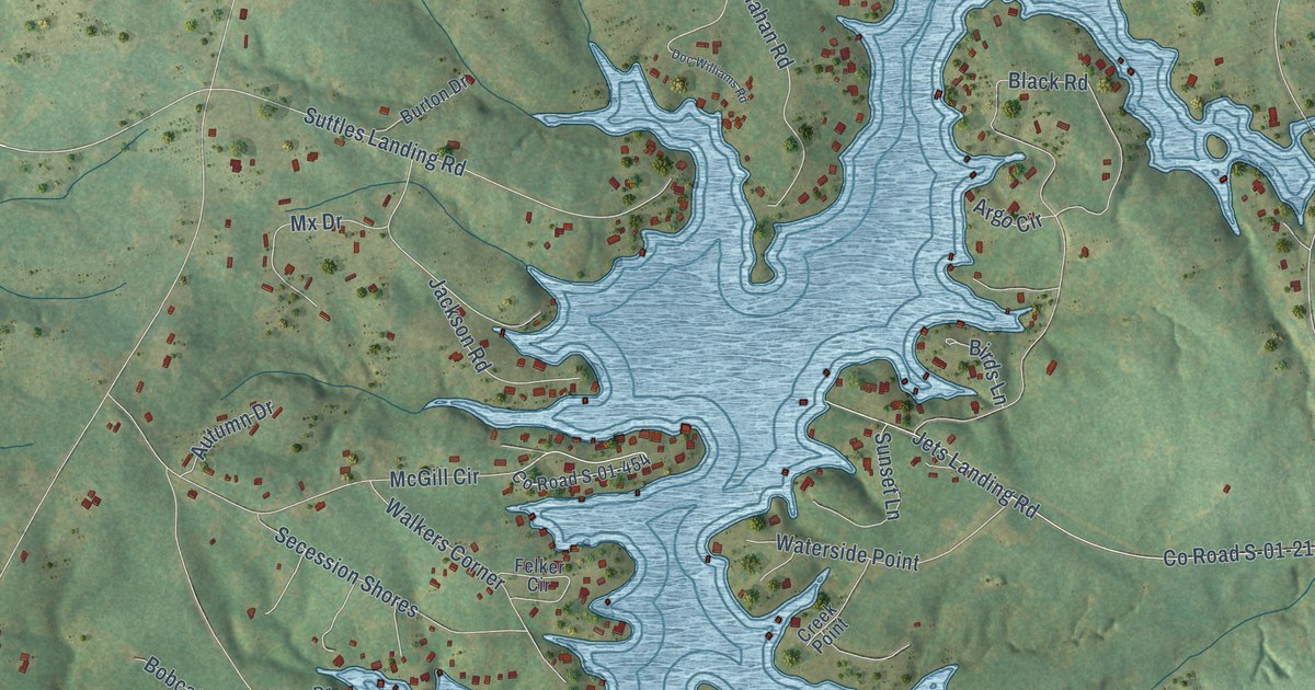
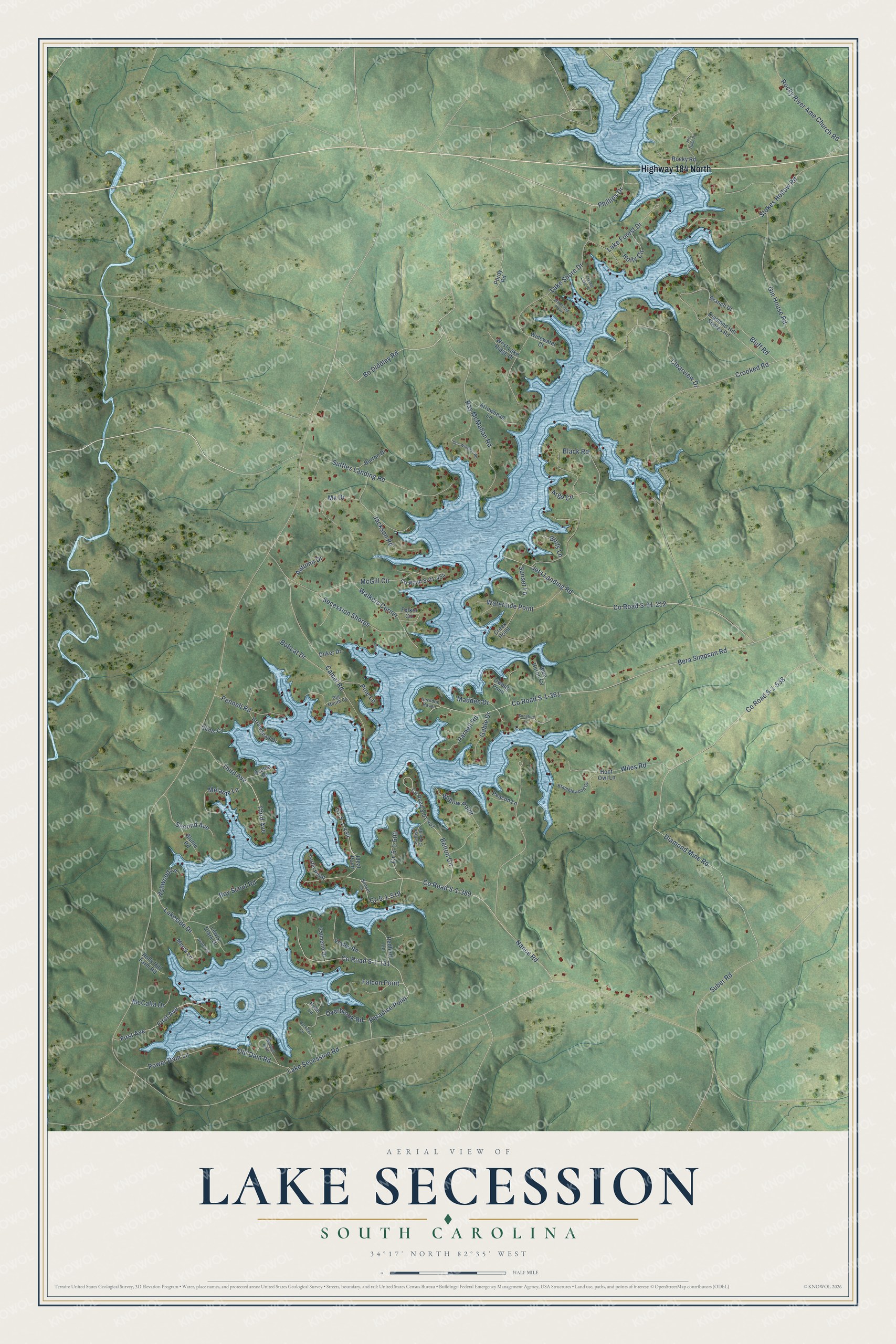
This beautifully detailed map of Lake Secession, South Carolina was created in 2026 using aerial imagery combined with modern topographical, census, street and landmark data. It's a modern aerial view of Lake Secession in Abbeville County, South Carolina, that combines modern data with a vintage aesthetic. The roads feature printed names, and if you look closely you can find your exact house accurately shown in its correct location.
Explore an aerial view of Lake Secession, South Carolina
On this map you'll find Highway 184 North, Third Avenue, Phillips Drive, Bo Diddley Road, Lake Secession Road, Co Road S-1-538, Diamond Mine Road, Crooked Road, Co Road S-01-212, Jets Landing Road, Bera Simpson Road, Co Road S-1-361, and more. Each red shape is a building, so zoom in on the preview and look for yours.
Lake Secession is a community in Abbeville County. The Census Bureau counted 1,058 people here in 2020. Lake Secession sits about 2 miles west of Antreville, 5 miles east of Iva and 7 miles northeast of Lowndesville. The map prints the town name in its title panel, with the coordinates below it.
Take a closer look at the Lake Secession map
Names on this map
These names are printed on this map.
Streets and roads: Highway 184 North, Third Avenue, Phillips Drive, Bo Diddley Road, Lake Secession Road, County Road S-1-538, Diamond Mine Road, Crooked Road, County Road S-01-212, Jets Landing Road, Bera Simpson Road, County Road S-1-361.
More street names, A to Z
Argo Circle, Arrowhead Drive, Arrowhead Lane, Ashwood Lane, Autumn Drive, Avalon Lane, Azalea Drive, Belton Circle, Big Mouth Cv, Birds Lane, Black Road, Blue Heron Cv, Bluff Road, Blume Road, Bobcat Drive, Boy Scout Road, Bramblewood Cv, Branch Drive, Buckeye Circle, Burton Drive, Camel Road, Catfish Cove Road, Clearview Drive, Clints Cv, County Road S-01-454, County Road S-01-457, County Road S-1-131, County Road S-1-389, Cr-5-1-434, Cr-5-1-500, Cr-5-1-519, Creek Point, Crystal Lake Court, Diamond Hill Shores Road, Doc Williams Road, Doker Drive, Falcon Point, Felker Circle, First Avenue, Gable Drive, Gin House Road, Herndon Haven, Holly Circle, Holly Hill Farm Road, Hoot Owl Lane, Ideal Point, Jackson Road, Joe Dunn Road, Lake Forest Drive, Lake Shore Drive, Lakeside Drive, Lewis Clark Drive, Madden Drive, McCalla Drive, McGill Circle, Melanie Lane, Merck Lane, Mobleys Bluff, Mx Drive, Nance Road, Old Dam Road, Overbrook Road, Owens Point, Palmetto Drive, Paradise Point, Parnell Road, Peacon Lane, Pennell Road, Pine Lane, Power Dam Lane, Purdy Road, Ray McMahan Road, Redbird Lane, Rocky River Ame Church Road, Rocky Road, Ryan Lane, Secession Shores, Second Avenue, Songbird Lane, Stokes Hollow Road, Suber Road, Sunset Cv, Sunset Lane, Suttles Landing Road, Turtle Point, Voyles Road, Walkers Corner, Waterford Point, Waterside Point, West Lake Ridge Drive, Widewater Court, Wiles Road, Willow Point.
See it on a wall
The Lake Secession map as a framed print. Swipe for more.


Created by KNOWOL in 2026. The buildings are small red shapes, the roads carry their printed names, and shaded relief shows the shape of the land. The title panel reads "AERIAL VIEW OF LAKE SECESSION, SOUTH CAROLINA" with 34°17' NORTH 82°35' WEST.
It suits a den, a classroom or a front hall, and it makes a gift for anyone with Lake Secession roots. Open the preview and find the block you know. See sizes and frames for the Lake Secession map.