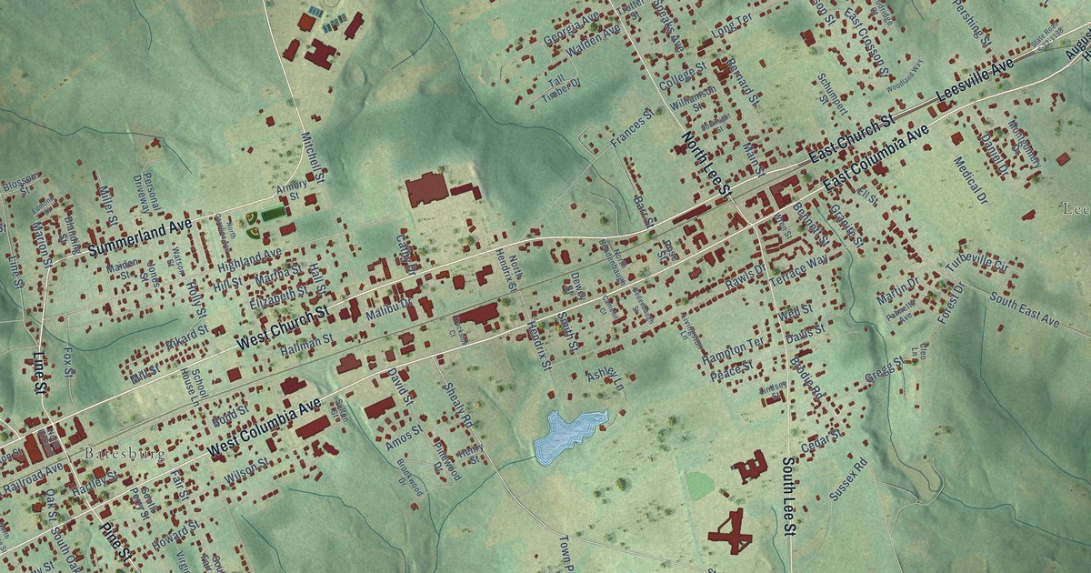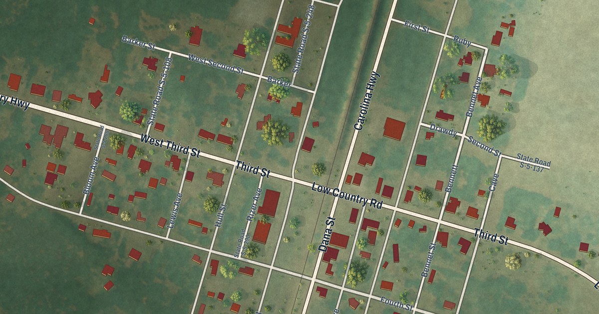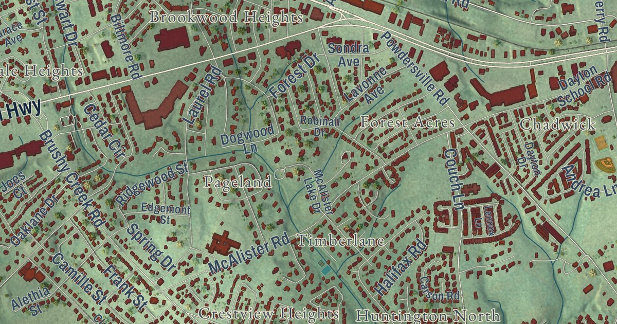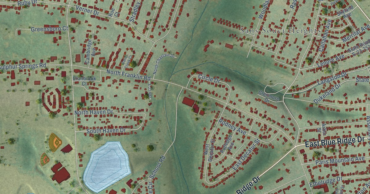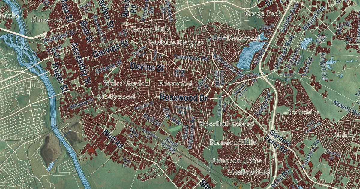
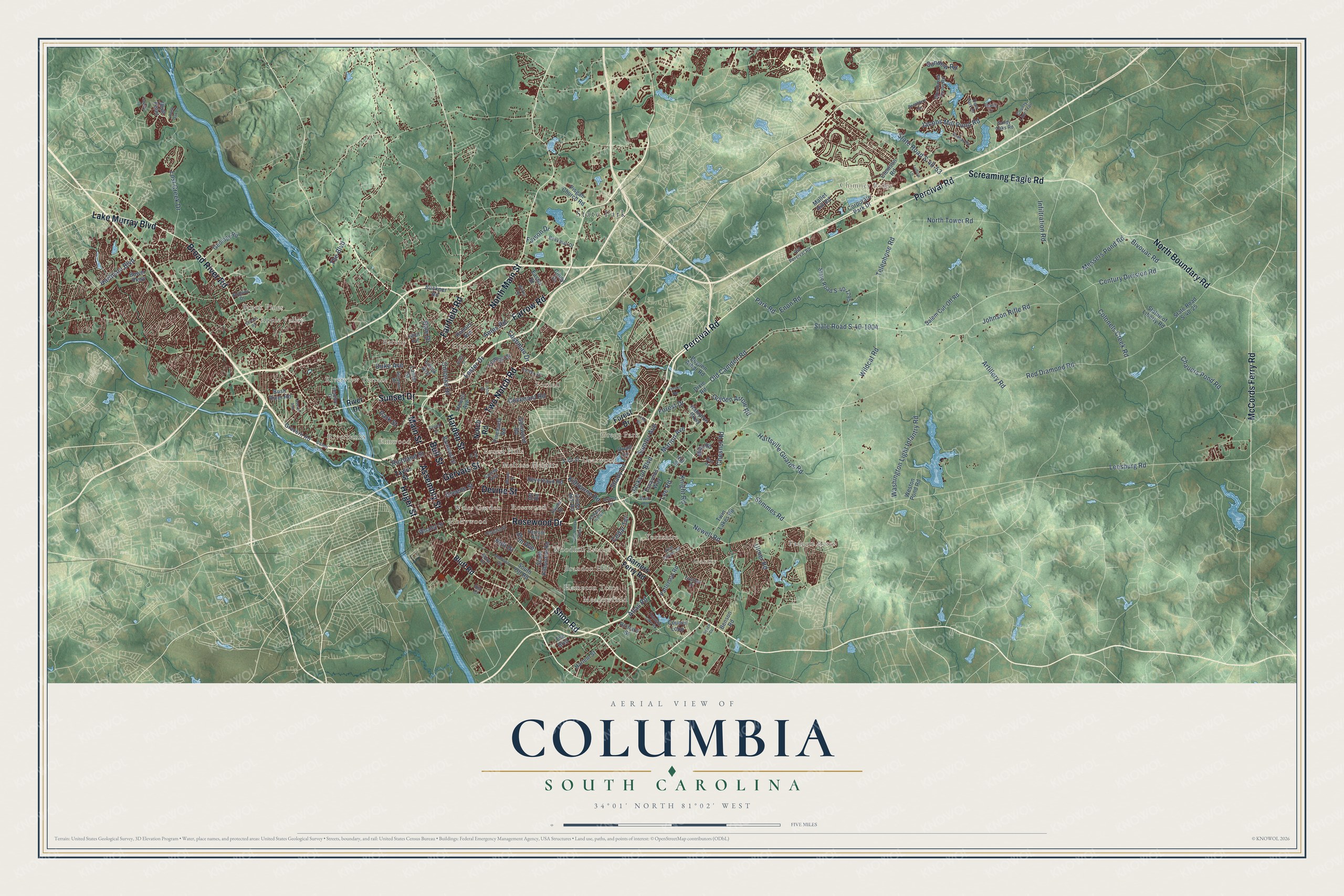
This beautifully detailed map of Columbia, South Carolina was created in 2026 using aerial imagery combined with modern topographical, census, street and landmark data. It’s a one-of-a-kind view of Columbia that combines accurate data with a vintage aesthetic. The map shows every building in its true location, many of the roads carry their names, and the shaded topographic relief shows the shape of the land.
Explore an aerial view of Columbia, South Carolina
On the map you’ll find Apple Valley, Barony, Belleview, Boyden Arbor, Brandon Hills, Brickyard Village, Brook Pines, Burnside East, Childs, Chimney Ridge, Deaswood, Eau Claire, and more. If you look closely you can even find your house accurately drawn in its correct location. Zoom in on the preview to look for yours.
Did you know this piece of Columbia, South Carolina history?
From Scencyclopedia.org: "The city in 1894 became the site of Columbia Mills, the world’s first electric-powered textile mill (which later housed the South Carolina State Museum), and eventually grew into a major center of textile manufacturing."
Take a closer look at the Columbia map
Street and place names on the Columbia, South Carolina map
These names are printed on the map of Columbia, South Carolina.
Places: State Park, Padgett Acres, Chimney Ridge, Deaswood, Galaxy, Apple Valley, Rosewood, Foxhall, Riverview Terrace, Riverbanks, Hollywood, Barony, Brandon Hills, Gregg Park, Hyatts, Melrose Heights, Yorkshire, Woodhill Estates, Hampton Trace, Wales Garden, Brook Pines, Elmwood, Forest Hills and Meadowfield.
Streets and roads: Percival Road, North Main Street, Assembly Street, Rosewood Drive, Shop Road, Two Notch Road, Devine Street, Gervais Street, Bull Street, Fairfield Road, Huger Street, Sunset Drive.
More street names, A to Z
Abingdon Road, Ames Road, Andrews Road, Artillery Road, Atlas Road, Averyt Avenue, Barnwell Street, Beckman Drive, Beechfern Circle, Benson Road, Bentley Drive, Bivouac Road, Bluff Point, Bluff Road, Bower Parkway, Boyden Arbor Road, Broad River Road, Buckner Road, Burt Road, Bush River Road, Candi Lane, Carter Street, Cedar Terrace, Century Division Road, Chauers Pond Road, Chesnut Road, Cindy Drive, Clemson Road, Colonels Creek Road, Colonial Drive, Corporate Park Drive, Council Loop, County Line Trail, Covenant Road, Cross Hill Road, Cushman Drive, Dale Drive, Deer Park Drive, Devereaux Road, Dixie Road, Duke Avenue, Easter Street, Eastfair Drive, Edison Street, Elliot Avenue, Elm Avenue, Enon Road, Essayons Way, Ewell Road, Faison Drive, Farrow Road, Forest Drive, Fountain Lake Road, Freed Drive, Garners Ferry Road, Gauley Drive, Geology Road, Gills Creek Parkway, Glenwood Road, Golden Arrow Road, Gracern Road, Greene Street, Hampton Hill Road, Hampton Parkway, Harbison Boulevard, Harden Street, Harlem Street, Hartsville Guards Road, Harvard Avenue, Heaths Lane, Hill Street, Holmes Avenue, Holt Drive, Howell Avenue, Infiltration Road, Iverson Road, Jackson Boulevard, Jacobs Mill Pond Road, Johnson Rifle Road, Jones Street, Kalmia Drive, Kilbourne Road, King Charles Road, Knight Road, Lake Murray Boulevard, Lamar Street, Lee Road, Leesburg Road, Lester Drive, Little Road, Lorick Avenue, Lost Creek Drive, Ludlow Lane, Main Street, Mallet Hill Road, Maple Street, Marion Avenue, McCords Ferry Road, Messers Pond Road, Mills Road, Newell Road, Nobility Drive, North Boundary Road, North Tower Road, Notch Road, Oak Street, Oceola Street, Old Camden Road, Old Percival Road, Ott Road, Oxford Road, Park Road, Park Street, Patterson Road, Pinehurst Road, Pisgah Church Road, Pond Oak Lane, Quail Lane, Redbay Road, Red Diamond Road, Richard Street, Richland Street, River Drive, S-40-33, Salem Cut-Off Road, Sandy Oaks Road, Santee Avenue, Screaming Eagle Road, Semmes Road, Shady Lane, Shivers Road, Silo Court, South Kilbourne Road, South Ott Road, State Road S-40-25, State Road S-40-53, State Road S-40-1795, State Road S-40-1904, Statue of Liberty Road, Sumter Avenue, Sundew Road, Sysco Court, Taylor Street, Telephone Road, The Boulevard, Truman Street, Twin Lakes Road, Ulmer Road, Washington Light Infantry Road, Weston Pond Road, Whaley Street, Wildcat Road, Wilkes Road, Woodcreek Farms Road.
See the Columbia, South Carolina map on a wall
The Columbia map as an 18 x 24 inch print in a black frame.

This beautifully detailed map of Columbia makes an attractive addition to your office, library, or den, and it can even be used to teach children the geography and history of the area. It also makes a great gift for anyone who grew up in Columbia or moved away. When you’re done exploring, click here to get your copy of the Columbia map.