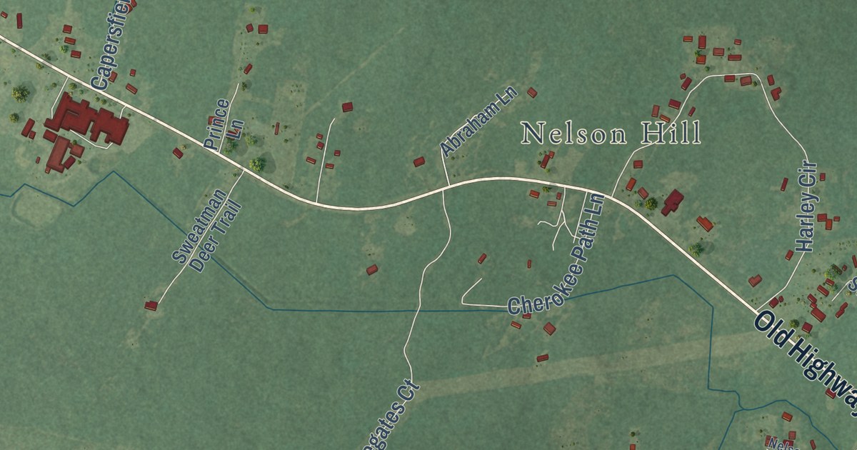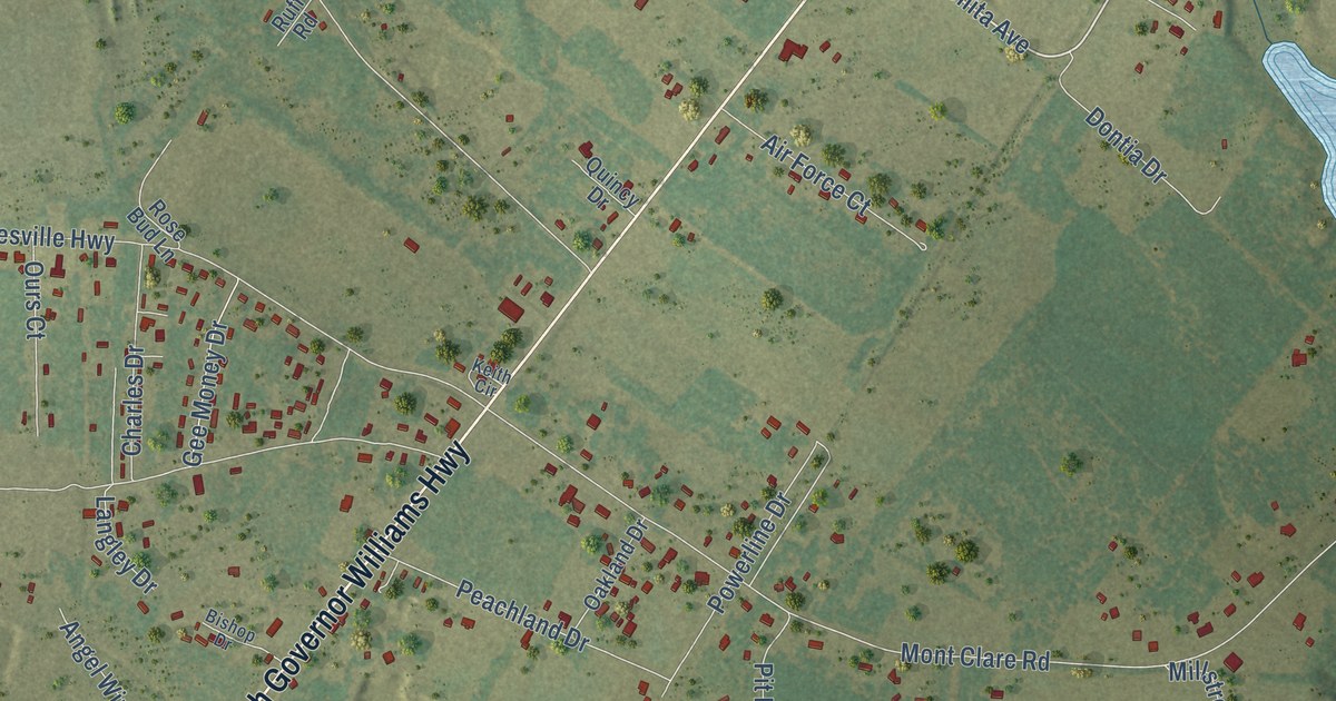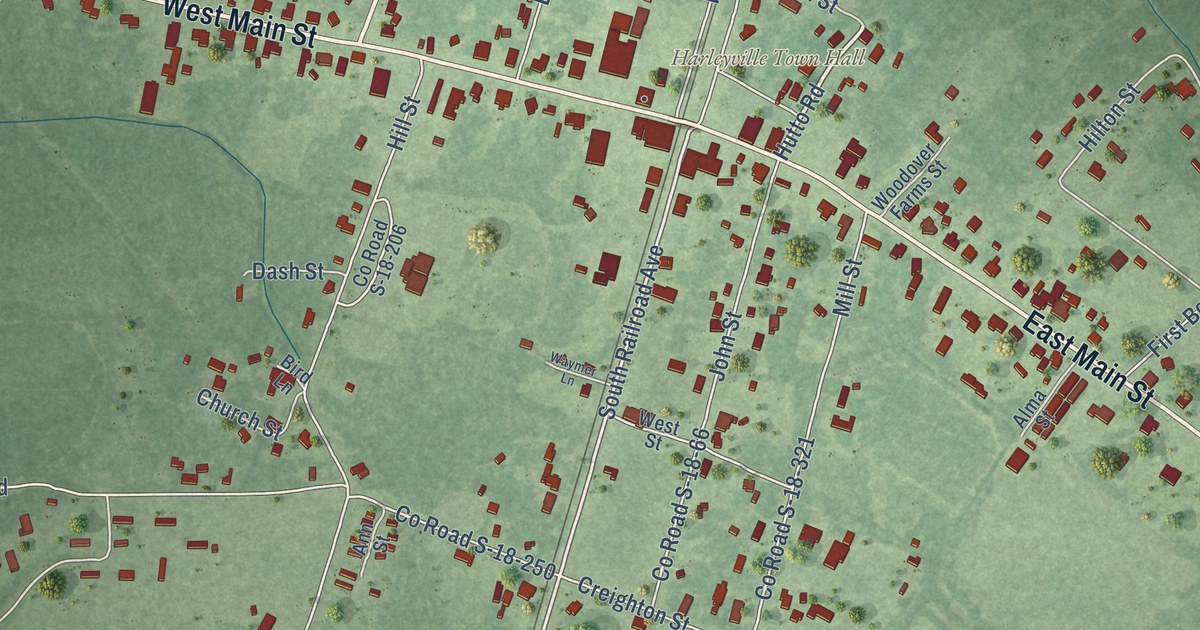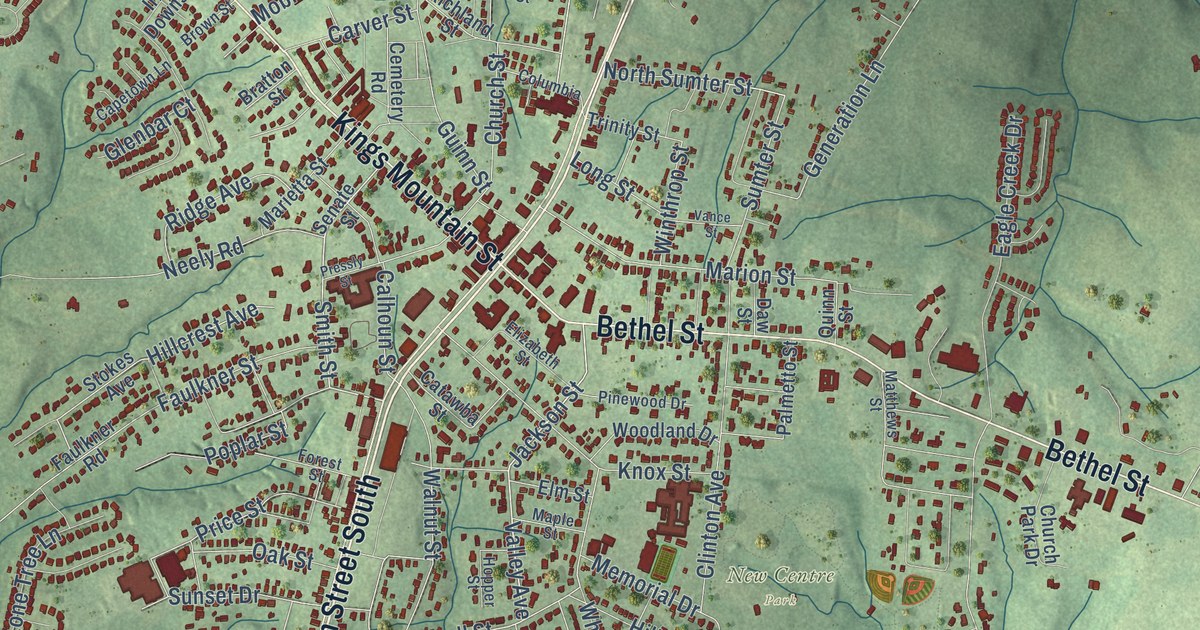
This beautifully detailed map of Clover, South Carolina was created in 2026 using aerial imagery combined with modern topographical, census, street and landmark data. It’s a one-of-a-kind view of Clover that combines accurate data with a vintage aesthetic. The map shows every building in its true location, many of the roads carry their names, and the shaded topographic relief shows the shape of the land.
Explore an aerial view of Clover, South Carolina
On the map you’ll find New Centre Park, along with Main Street South, North Main Street, Kings Mountain Street, Bethel Street, North Main Street West, Filbert Highway, Zion Church Road, Wilson Street, McConnell Street, Ultra Avenue, Marion Street, and more. If you look closely you can even find your house accurately drawn in its correct location. Zoom in on the preview to look for yours.
Did you know this piece of Clover, South Carolina history?
From Scencyclopedia.org: "One of Clover’s earliest boosters was William Beaty Smith, who, along with his sons, constructed some of the first retail establishments in town."
Take a closer look at the Clover map
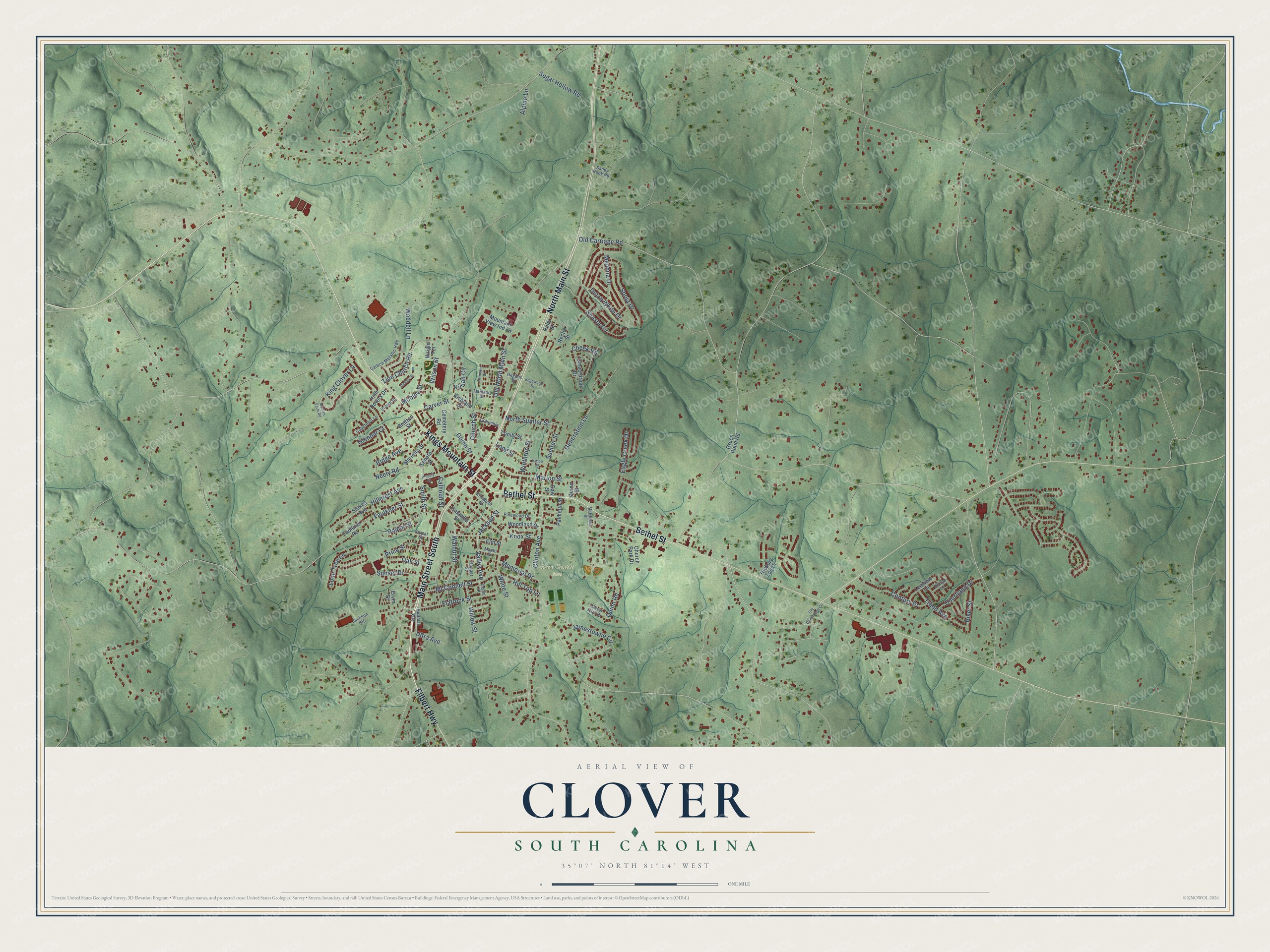
Street and place names on the Clover, South Carolina map
These names are printed on the map of Clover, South Carolina.
Places: New Centre Park.
Streets and roads: Main Street South, North Main Street, Bethel Street, Kings Mountain Street, Filbert Highway, Zion Church Road, Wilson Street, Valley Avenue, Smith Street, Jackson Street, Old North Main Street, McConnell Street.
More street names, A to Z
Alpine Lane, Arabian Farm Road, Bratton Street, Brown Street, Calhoun Street, Capetown Lane, Carbon Metallic Highway, Carver Street, Catawba Street, Cedar Street, Cemetery Road, Century Drive, Cheek Road, Church Park Drive, Church Street, Clinton Avenue, Cloverbrook Drive, Clover Park Drive, Columbia, Courtland Drive, Daw Street, Dutch White Drive, Eagle Creek Drive, Edgewood Drive, Elizabeth Street, Elm Street, Ervin Street, Fairmont Street, Faulkner Road, Faulkner Street, Flatrock Street, Forest Street, Generation Lane, Glenbar Court, Green Pond Road, Guinn Street, Hagans Street, Hickory Log Drive, Hillcrest Avenue, Hill Top Lane, Hopper Street, Huffman Way, Irish Downs Drive, Jackson Heights, Jamestowne Circle, Killian Circle, King Clover Lane, Knox Street, Leeview Lane, Lone Tree Lane, Long Street, Maple Street, Marietta Street, Marion Street, Matthews Street, Meanna Drive, Memorial Drive, Mobley Street, Mountain View Ind Lane, Neely Road, North Sumter Street, Oakland Street, Oak Street, Old Carriage Road, Ole Cambridge Circle, Palmetto Street, Pinewood Drive, Pinkey Street, Poplar Street, Pressly Street, Price Street, Quinn Road, Quinn Street, Rector Street, Richland Street, Ridge Avenue, Riker Street, Ruby Street, Sandy Rock Road, Senate Street, Shasta Circle, Sonja Drive, Stokes Avenue, Sugar Hollow Road, Sumter Street, Sunset Drive, Thorpe Lane, Tradd Avenue, Trinity Street, Ultra Avenue, Vance Street, Waddell Lane, Walnut Street, White Street, Willow Street, Winthrop Street, Woodland Drive, Wright Terrace.
See the Clover, South Carolina map on a wall
The Clover map as an 18 x 24 inch print in a black frame.

This beautifully detailed map of Clover makes an attractive addition to your office, library, or den, and it can even be used to teach children the geography and history of the area. It also makes a great gift for anyone with Clover roots. When you’re done exploring, click here to get your copy of the Clover map.