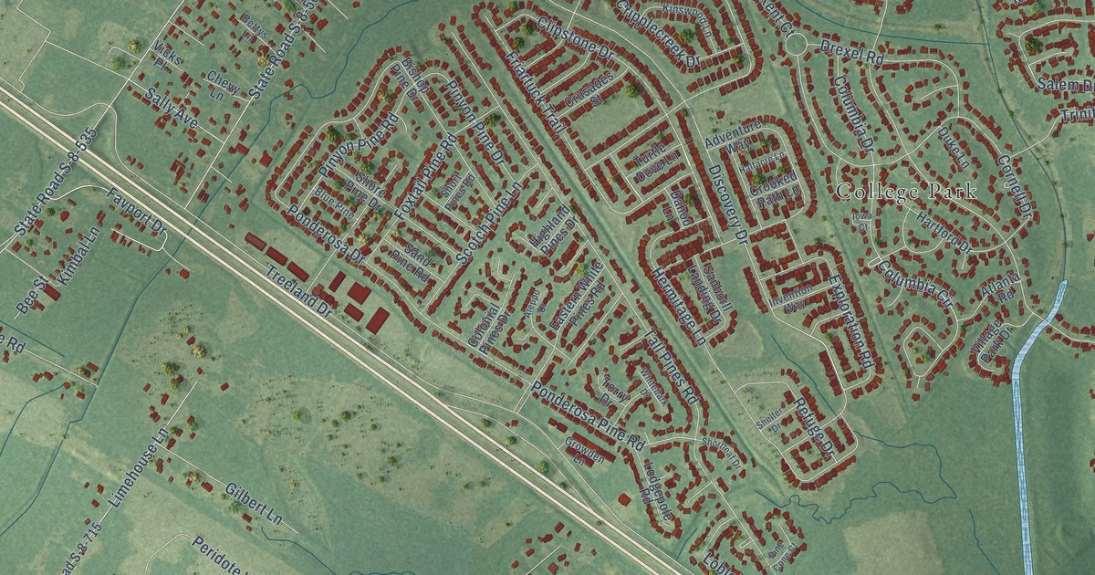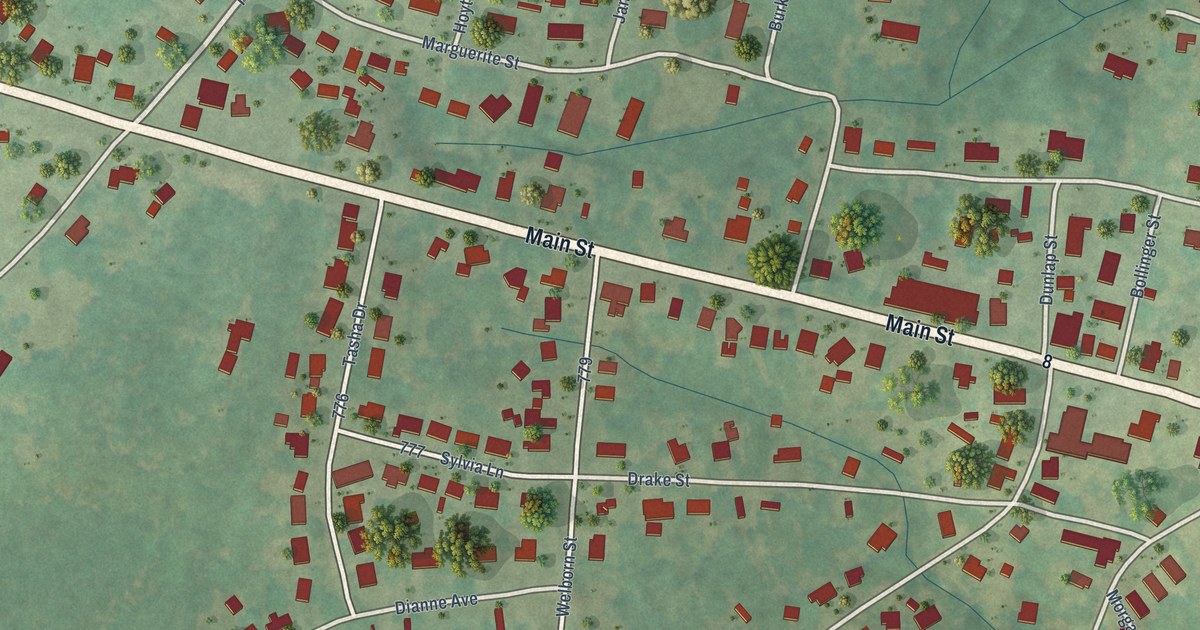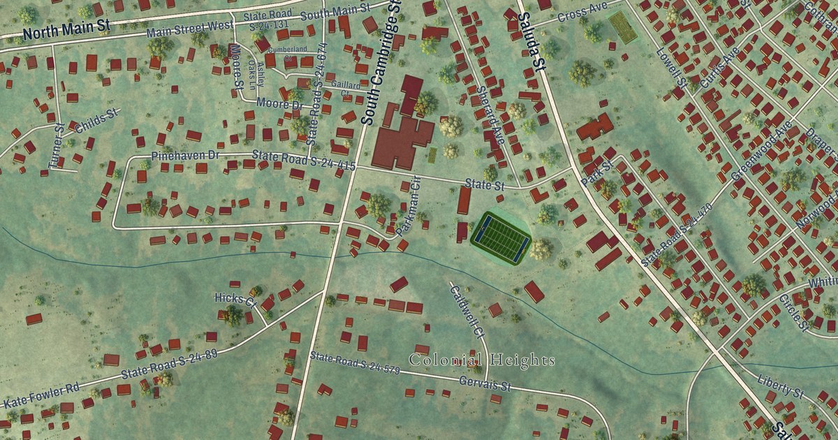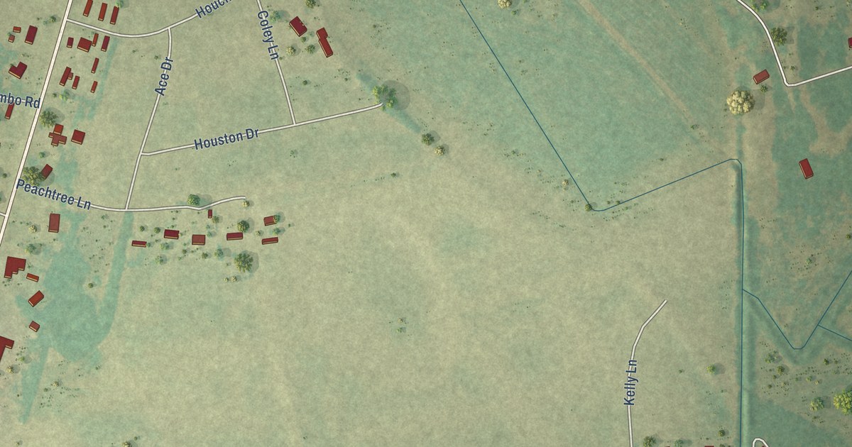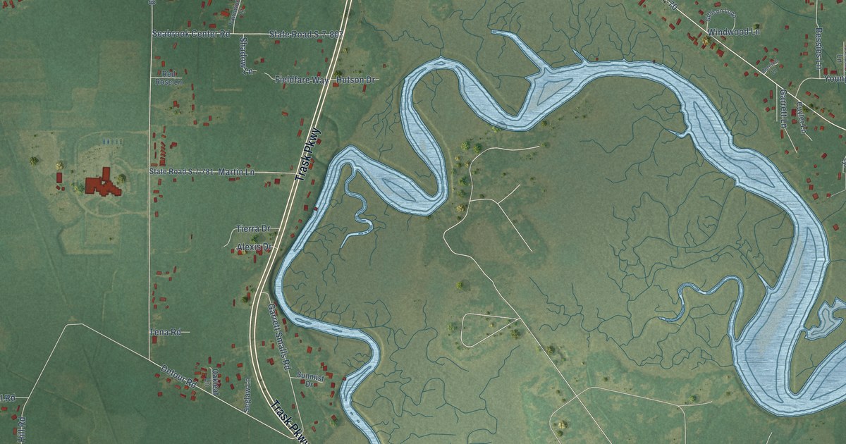
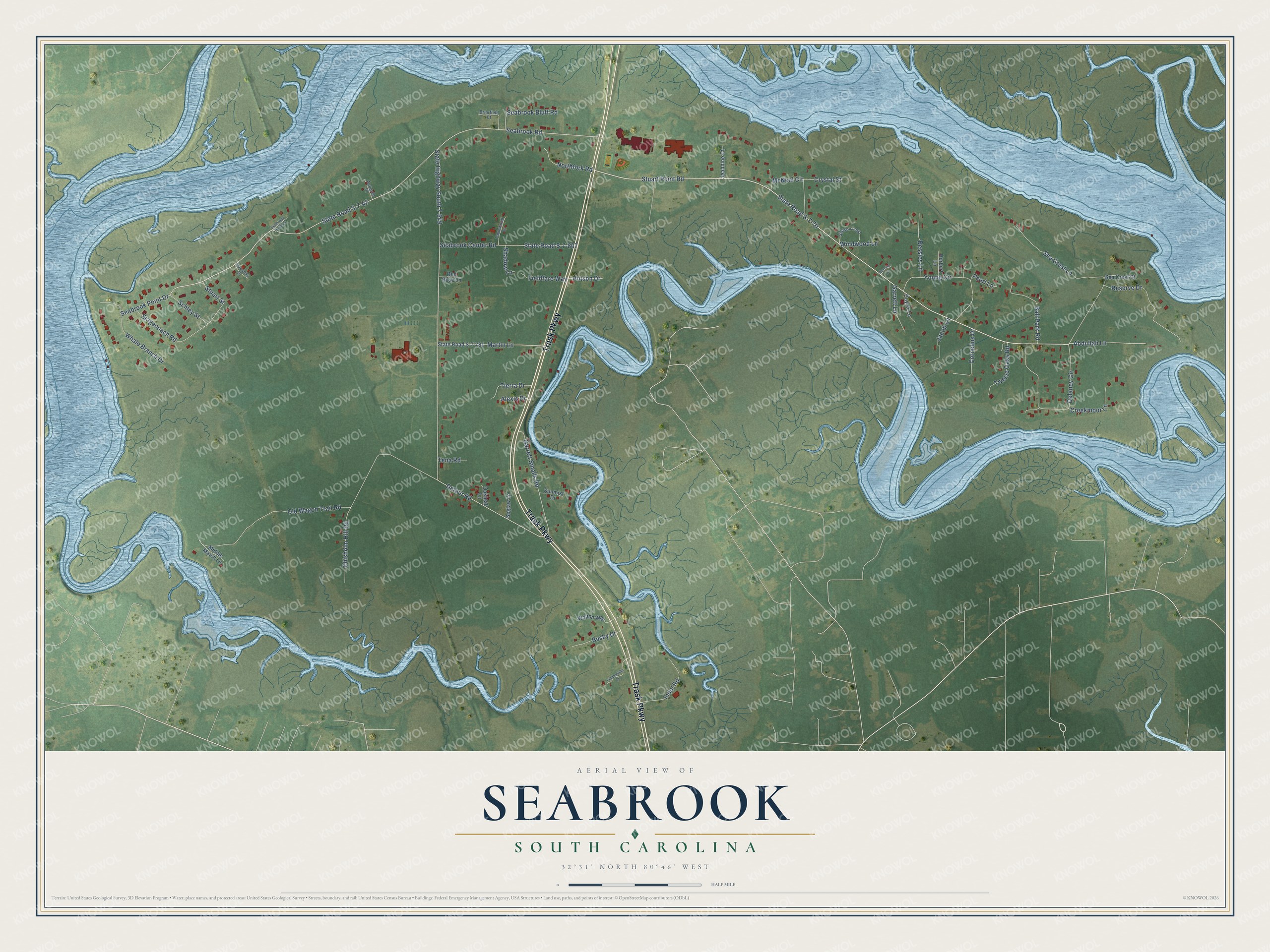
This beautifully detailed map of Seabrook, South Carolina was created in 2026 using aerial imagery combined with modern topographical, census, street and landmark data. It's a modern aerial view of Seabrook in Beaufort County, South Carolina, that combines modern data with a vintage aesthetic. The roads feature printed names, and if you look closely you can find your exact house accurately shown in its correct location.
Explore an aerial view of Seabrook, South Carolina
On this map you'll find Trask Parkway, Stuart Point Road, Seabrook Point Drive, State Road S-7-70, Detour Road, State Highway South 7-549, Seabrook Road, State Road S-7-42, Chisholm Hill Road, Sea Crest Lane, Delaney Circle, Old Wagon Trail Road, and more. Each red shape is a building, so zoom in on the preview and look for yours.
Seabrook is a community in Beaufort County. The Census Bureau counted 1,255 people here in 2020. Seabrook sits about 2 miles southwest of Lobeco, 3 miles southwest of Dale and 5 miles southeast of Sheldon. The map prints the town name in its title panel, with the coordinates below it.
Take a closer look at the Seabrook map
Names on this map
These names are printed on this map.
Streets and roads: Trask Parkway, Stuart Point Road, Seabrook Point Drive, State Road S-7-70, Detour Road, State Highway South 7-549, Seabrook Road, State Road S-7-42, Chisholm Hill Road, Sea Crest Lane, Delaney Circle, Old Wagon Trail Road.
More street names, A to Z
Abdullah Lane, Achurch Place, Alexis Drive, Ball Park Road, Bernice Lane, Bessies Lane, Briarfield Court, Busby Drive, Cornelius Drive, Creekmoor Lane, Crystal Street, Cuyler Lane, Fawnwood Lane, Fiddlerville Cv, Fieldfare Way, Garrett Lane, Garrett Smalls Road, Gillison Loop, Herbert Lane, Hutson Drive, Indol Road, Jacob Lane, Jeannine Court, Martin Lane, McNeal Circle, Middle Marsh Lane, Northfork Road, Oakleaf Lane, Pearl Lane, Red Rose Lane, Reserve Drive, Schley Street, Seabrook Bluff Road, Seabrook Center Road, Seabrook Point Court, Sea Crest Court, Seglaw Lane, Shadow Lane, Stagecoach Road, State Road S-7-781, State Road S-7-807, Stuart Street, Success Street, Sunmist Drive, Tena Road, Tierra Drive, Twelve Oaks Road, Walton Way, Whale Branch Drive, Windwood Lane, Young Circle.
See it on a wall
The Seabrook map as a framed print. Swipe for more.


Created by KNOWOL in 2026. The buildings are small red shapes, the roads carry their printed names, and shaded relief shows the shape of the land. The title panel reads "AERIAL VIEW OF SEABROOK, SOUTH CAROLINA" with 32°31' NORTH 80°46' WEST.
It suits a den, a classroom or a front hall, and it makes a gift for anyone with Seabrook roots. Open the preview and find the block you know. See sizes and frames for the Seabrook map.