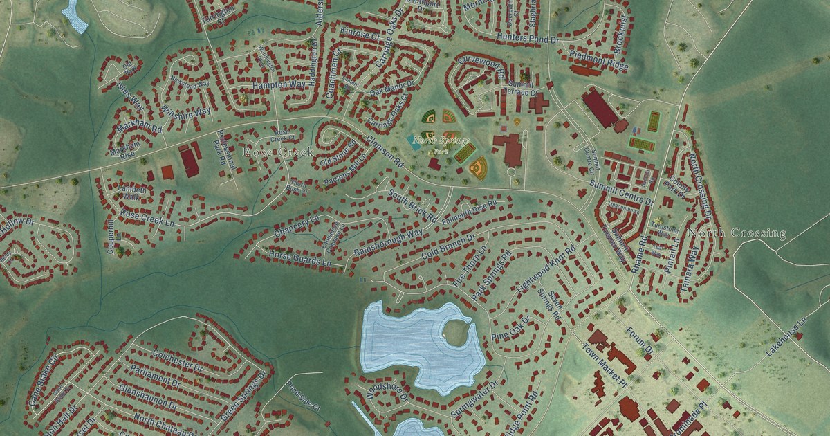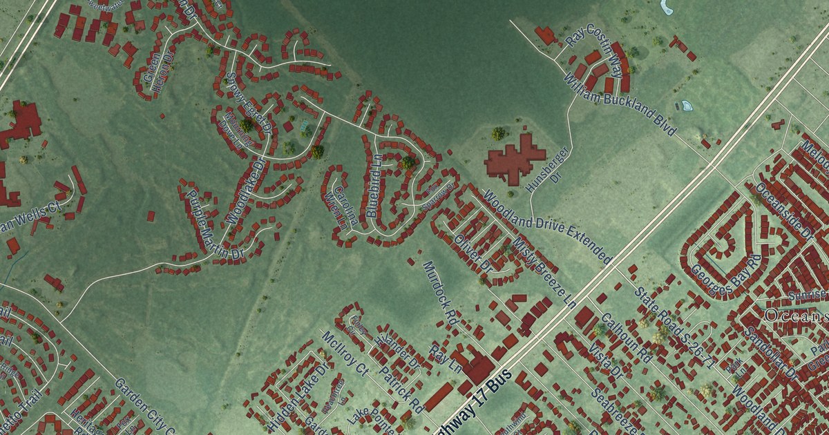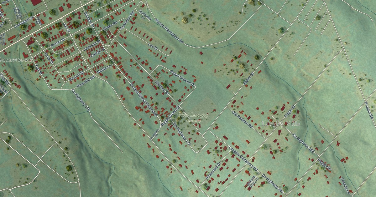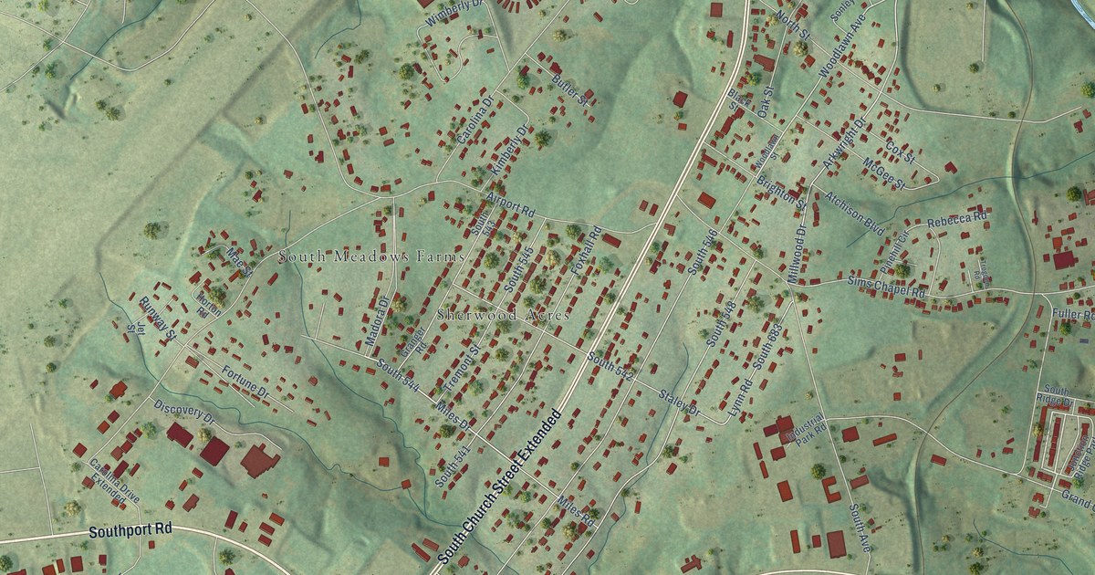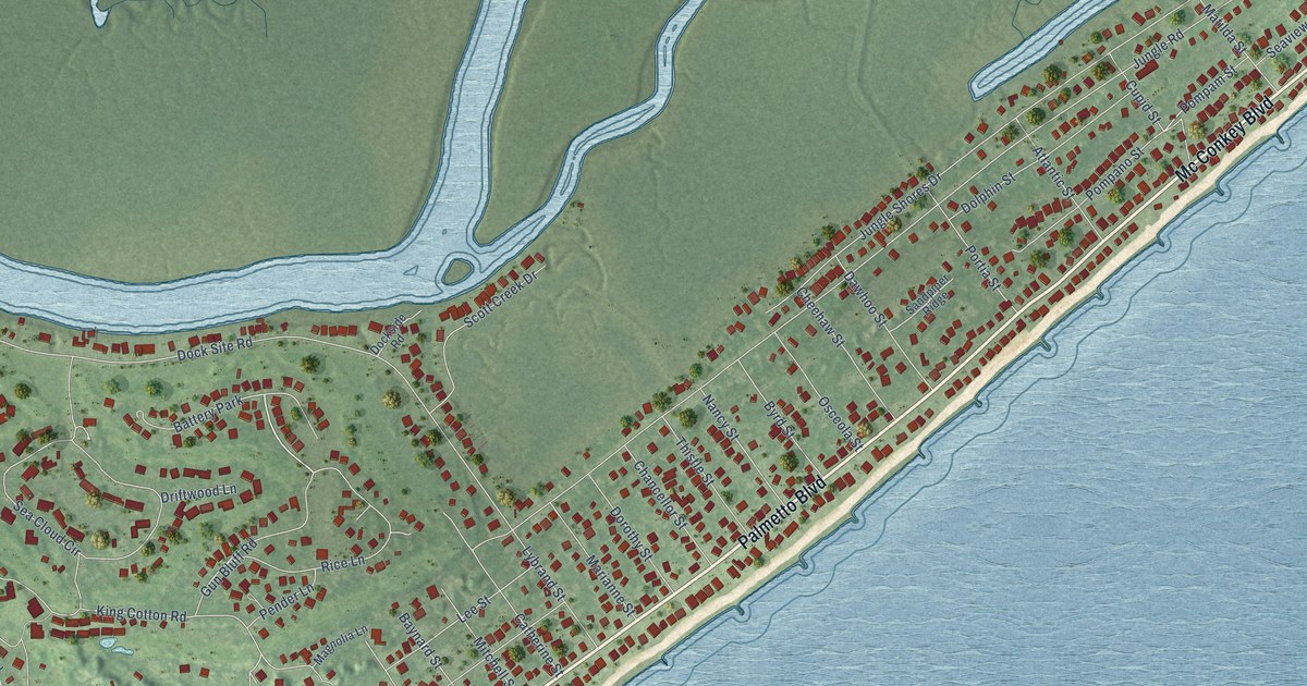
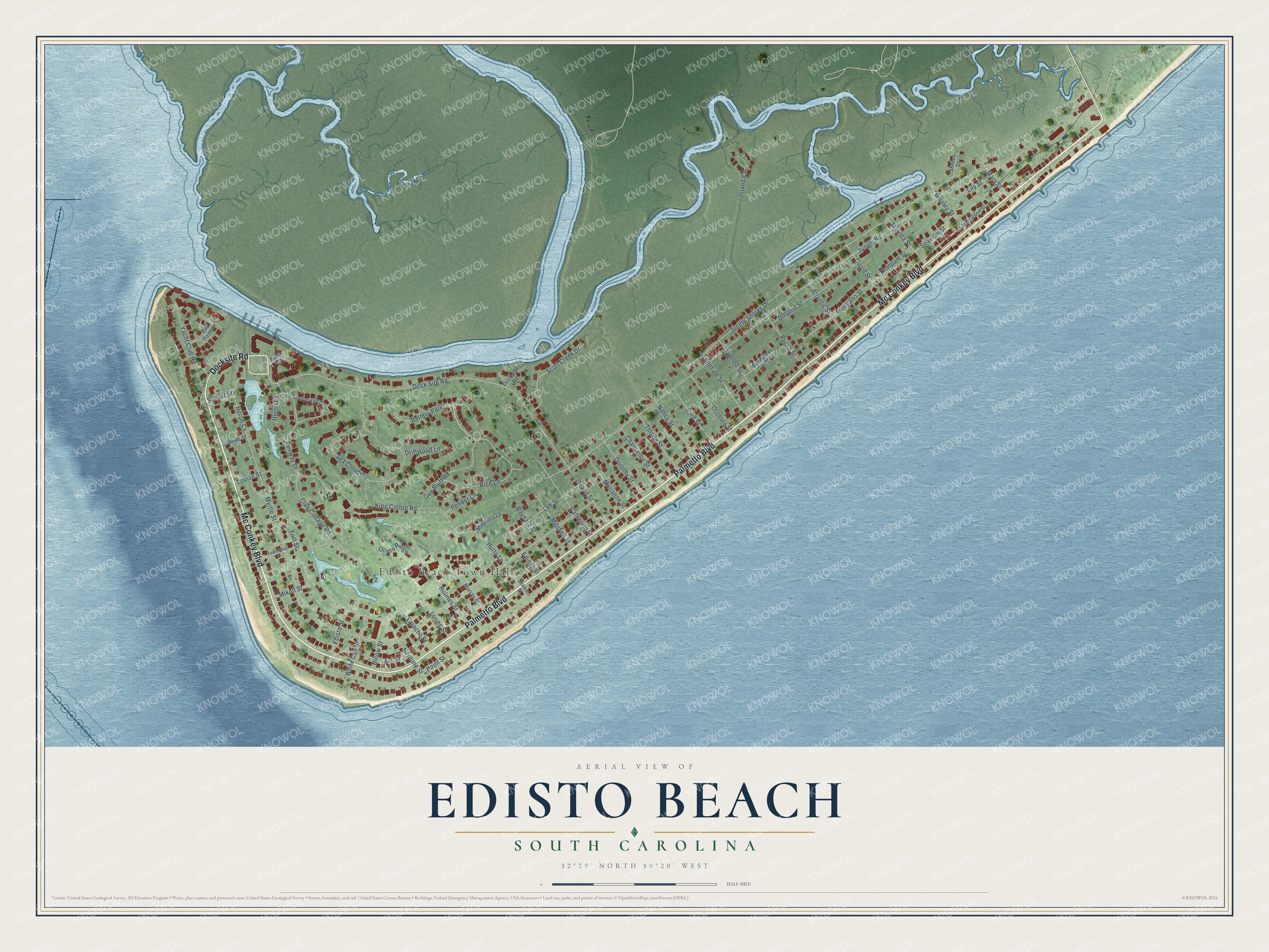
This beautifully detailed map of Edisto Beach, South Carolina was created in 2026 using aerial imagery combined with modern topographical, census, street and landmark data. It’s a one-of-a-kind view of Edisto Beach that combines accurate data with a vintage aesthetic. The map shows every building in its true location, many of the roads carry their names, and the shaded topographic relief shows the shape of the land.
Explore an aerial view of Edisto Beach, South Carolina
On the map you’ll find Edisto Beach Town Hall and Battery Park, along with Mc Conkey Boulevard, Palmetto Boulevard, Docksite Road, Jungle Road, Myrtle Street, Jungle Shores Drive, Point Street, Sea Cloud Circle, King Cotton Road, and more. If you look closely you can even find your house accurately drawn in its correct location. Zoom in on the preview to look for yours.
Did you know this piece of Edisto Beach, South Carolina history?
From the South Carolina Picture Project: "Edisto Beach State Park is located on the northernmost tip of the beach, just south of Botany Bay. The park was developed by the Civilian Conservation Corps in the mid 1930s and was one of the first state parks constructed in South Carolina."
Take a closer look at the Edisto Beach map
Street and place names on the Edisto Beach, South Carolina map
These names are printed on the map of Edisto Beach, South Carolina.
Places: Edisto Beach Town Hall and Battery Park.
Streets and roads: Mc Conkey Boulevard, Palmetto Boulevard, Docksite Road, Jungle Road, Myrtle Street, Jungle Shores Drive, Point Street, Dock Site Road, Sea Cloud Circle, King Cotton Road, Club Cottage Road, Fairway Drive.
More street names, A to Z
Arc Street, Atlantic Street, Baynard Street, Bay Point Drive, Billow Street, Buoy Road, Byrd Street, Catherine Street, Chancellor Street, Cheehaw Street, Cupid Street, Dawhoo Street, Dockside Road, Dolphin Street, Dorothy Street, Driftwood Lane, Ebbtide Street, Edings Street, Edisto Street, Fort Street, Gun Bluff Road, Harrelson Street, Heron Court, Heron Cv, Holmes Street, Hutto Lane, Island Cv, Jenkins Street, Laroche Street, Lee Street, Lily Street, Loring Street, Louise Street, Lybrand Street, Magnolia Lane, Marianne Street, Mary Street, Matilda Street, Mikell Street, Mitchell Street, Murray Street, Nancy Street, Neptune Street, Oristo Ridge, Osceola Street, Pender Lane, Pompam Street, Pompano Street, Portia Street, Rice Lane, Sandpiper Ridge, Scott Creek Drive, Seaview Street, Shores Drive, Summerwind Circle, Sunset Street, Thistle Street, Townsend Street, Whaley Street, White Cap Street, Yacht Club Road.
See the Edisto Beach, South Carolina map on a wall
The Edisto Beach map as an 18 x 24 inch print in a black frame.

This beautifully detailed map of Edisto Beach makes an attractive addition to your office, library, or den, and it can even be used to teach children the geography and history of the area. It also makes a great gift for anyone with Edisto Beach roots. When you’re done exploring, click here to get your copy of the Edisto Beach map.