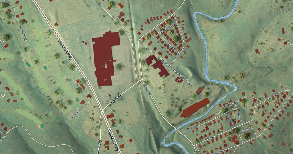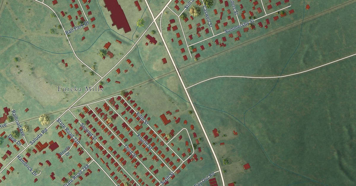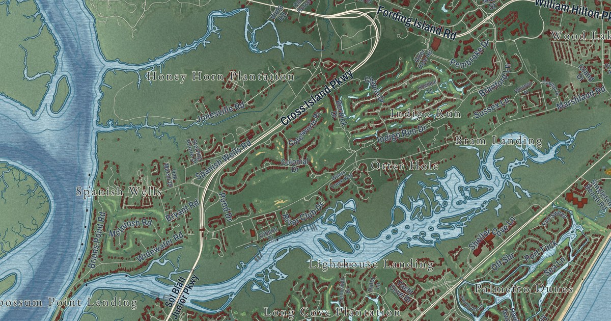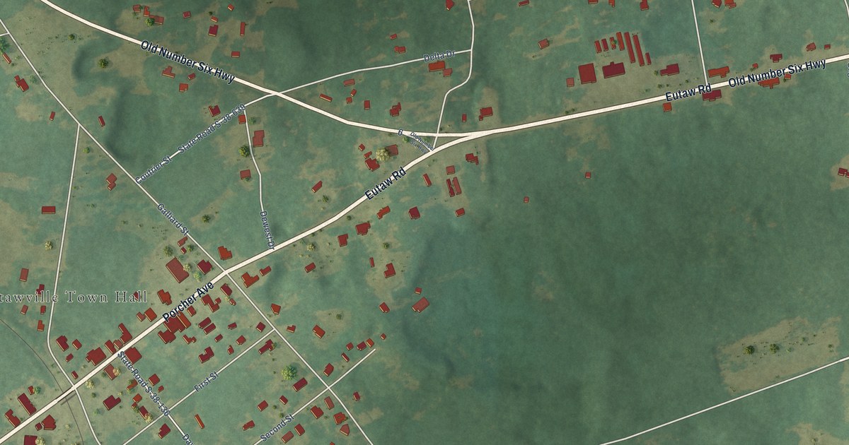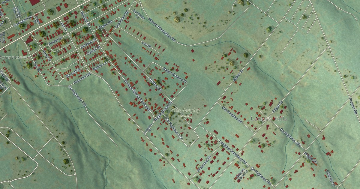
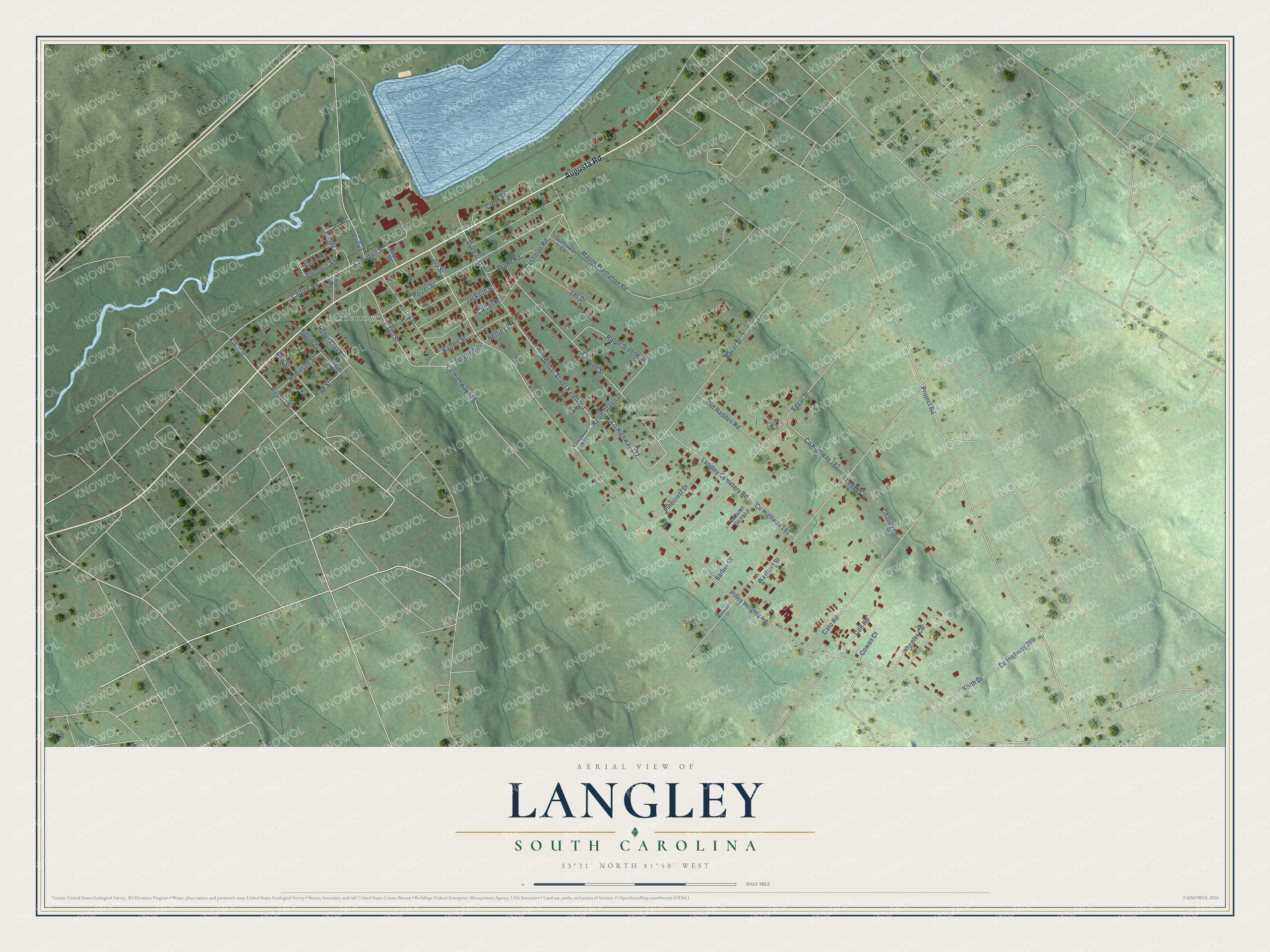
This beautifully detailed map of Langley, South Carolina was created in 2026 using aerial imagery combined with modern topographical, census, street and landmark data. It's a modern aerial view of Langley in Aiken County, South Carolina, that combines modern data with a vintage aesthetic. The roads feature printed names, and if you look closely you can find your exact house accurately shown in its correct location.
Explore an aerial view of Langley, South Carolina
On this map you'll find Burnettown, Langley Villa, New Langley Cemetery, Augusta Road, Dunbar Street Extended, Co Highway 177, Burnett Street, Kiwanis, Ralph Green Drive, Mason Plantation Road, Joy Street, Minter, and more. Each red shape is a building, so zoom in on the preview and look for yours.
Langley is a community in Aiken County. The Census Bureau counted 1,485 people here in 2020. Langley sits about 2 miles southwest of Gloverville, 2 miles east of Burnettown and 3 miles southwest of Warrenville. The map prints the town name in its title panel, with the coordinates below it.
Take a closer look at the Langley map
Names on this map
These names are printed on this map.
Places: Burnettown, Langley Villa and New Langley Cemetery.
Streets and roads: Augusta Road, Dunbar Street Extended, County Highway 177, Burnett Street, Kiwanis, Ralph Green Drive, Mason Plantation Road, Joy Street, Minter, Piney Heights Road, Wayland Street, Project Road.
More street names, A to Z
Autumn Daisy Lane, Back Alley, Baker Street, Barber Court, Barrett Street, Buckskin Court, Campbell Street, Carline Road, Cato Road, Cattail Street, Chaffee Street, Chasity Lane, Colt Road, County Highway 119, County Highway 181, County Highway 182, County Highway 250, County Highway 963, Cowan Court, Creek Street, Cross Over Road, Cushman Road, Depot Street, Drake Road, Dunbar Street, Edgar Street, Gray Street, High Street, Hillside Drive, Hillside Road, Huber Clay Road, Jackson Street, Keith Drive, Langley Cemetery Road, Langley Dam Road, Les Drive, Nettie Lane, New Street, Old Hadden Road, Peggy Circle, Pelzer Street, Ph Road, Pinecrest Drive, Pine Hill Road, Ralph Greene Drive, Robinson Street, Southern Avenue, Sunflower Lane, Tutt Street, Wheeler Circle.
See it on a wall
The Langley map as a framed print. Swipe for more.


Created by KNOWOL in 2026. The buildings are small red shapes, the roads carry their printed names, and shaded relief shows the shape of the land. The title panel reads "AERIAL VIEW OF LANGLEY, SOUTH CAROLINA" with 33°31' NORTH 81°50' WEST.
It looks right in a kitchen, an office or a den, and it's a gift for anyone who grew up in Langley or moved away. Open the preview and find your street. See sizes and frames for the Langley map.