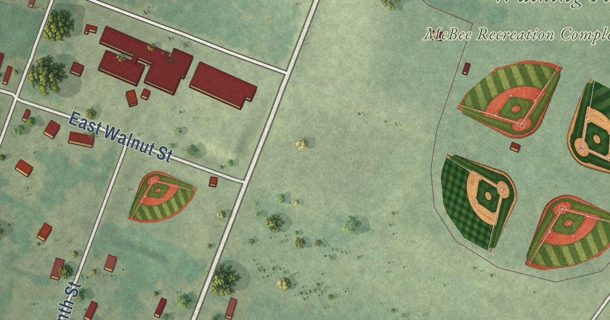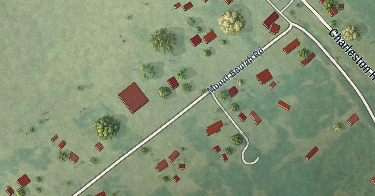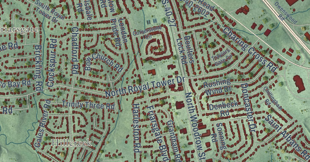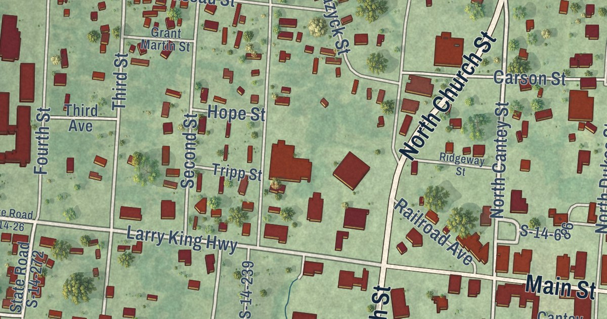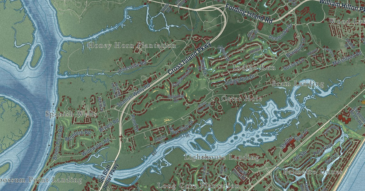
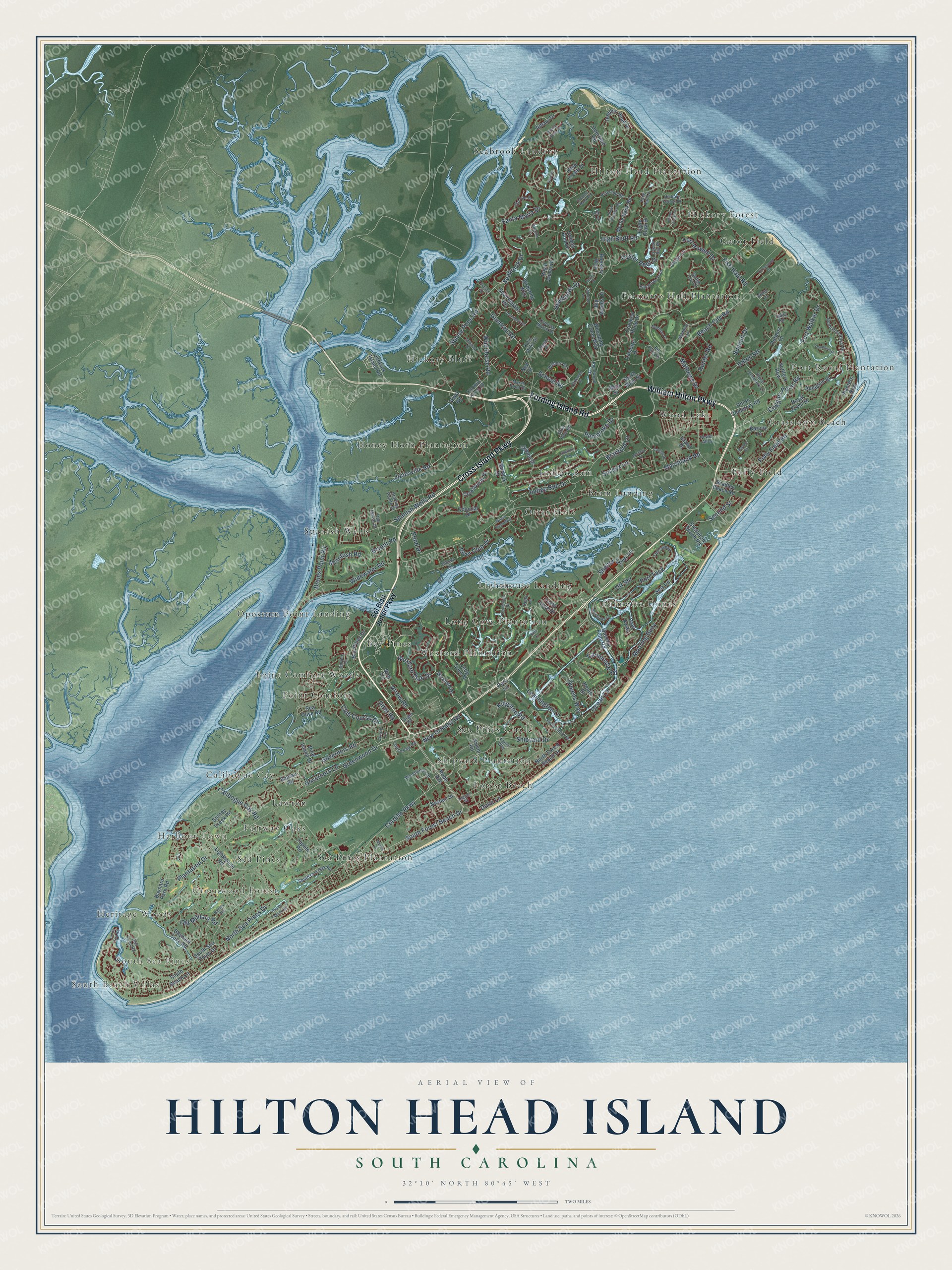
This beautifully detailed map of Hilton Head Island, South Carolina was created in 2026 using aerial imagery combined with modern topographical, census, street and landmark data. It’s a one-of-a-kind view of Hilton Head Island that combines accurate data with a vintage aesthetic. The map shows every building in its true location, many of the roads carry their names, and the shaded topographic relief shows the shape of the land.
Explore an aerial view of Hilton Head Island, South Carolina
On the map you’ll find South Beach Villas, South Sea Pines, Heritage Woods, Greenwood Forest, Harbour Town, Bay Pines, Bram Landing, Calibogue Cay, Fairway Oaks, Folly Field, Forest Beach, Gator Field, and more. If you look closely you can even find your house accurately drawn in its correct location. Zoom in on the preview to look for yours.
Did you know this piece of Hilton Head Island, South Carolina history?
From Scencyclopedia.org: "Dissatisfaction over the failure of Beaufort County to control growth on Hilton Head led to a long campaign for political independence, which culminated in the incorporation of the Town of Hilton Head Island in 1983."
Take a closer look at the Hilton Head Island map
Street and place names on the Hilton Head Island, South Carolina map
These names are printed on the map of Hilton Head Island, South Carolina.
Places: South Beach Villas, South Sea Pines, Heritage Woods, Greenwood Forest, Harbour Town, Bay Pines, Bram Landing, Calibogue Cay, Fairway Oaks, Folly Field, Forest Beach, Gator Field, Grasslawn Beach, Hickory Bluff, Hickory Forest, Hilton Head Plantation, Honey Horn Plantation, Indigo Run, Lawton, Lighthouse Landing, Long Cove Plantation, Opossum Point Landing, Otter Hole, Palmetto Dunes, Palmetto Hall Plantation, Point Comfort, Point Comfort Woods, Port Royal Plantation, Sea Pines, Sea Pines Circle, Sea Pines Plantation, Seabrook Landing, Shipyard Plantation, Spanish Wells, Wexford Plantation and Wood Lake.
Streets and roads: Cross Island Parkway, William Hilton Parkway, Fording Island Road, Shipyard Drive, Wexford Club Drive, Indigo Run Drive, South Forest Beach Drive, Greenwood Drive, Cordillo Parkway, Fort Howell Drive, Seabrook Drive, North Sea Pines Drive.
More street names, A to Z
Acorn Lane, Arrow Road, Audubon Place, Barony Circle, Barony Lane, Bateau Road, Battery Road, Bayley Point Lane, Baynard Cove Road, Baynard Park Road, Bay Pines Drive, Beach City Road, Beach Lagoon Road, Bear Creek Drive, Berwick Drive, Big Woods Drive, Bill Fries Drive, Birdsong Way, Bow Circle, Bradley Beach Road, Brams Point Road, Branford Lane, Brown Thrasher Road, Bryant Road, Calibogue Cay Road, Capital Drive, Carnoustie Road, Ceasar Place, Chaplin Drive, Chinaberry Drive, Christo Drive, Circlewood Drive, Club Course Drive, Clyde Lane, Coggins Point Road, Colonial Drive, Coopers Hawk Road, Cotesworth Place, Crooked Pond Drive, Cypress Marsh Drive, Deerfield Road, Delta Lane, Dillon Road, Dolphin Head Drive, Doubloon Drive, Dune Lane, Dunlin Place, Eagle Claw Drive, Ellenita Drive, Evian Way, Fife Lane, Fish Haul Road, Folly Field Road, Fort Walker Drive, Full Sweep, Gibson Drive, Golden Hind Drive, Governors Lane, Governors Road, Gull Point Road, Gumtree Road, Haul Away, Headlands Drive, Heath Drive, Hickory Forest Drive, High Bluff Road, Honey Locust Circle, Hudson Road, Hunter Road, Island Drive, Jenkins Island Road, Jonesville Road, Katie Miller Drive, King Rail Lane, Kingston Road, Knollwood Drive, Lagoon Road, Lamotte Drive, Lands End Road, Leamington Lane, Lighthouse Road, Long Cove Drive, Madison Lane, Main Street, Marshland Road, Marsh Point Drive, Mathews Drive, McIntosh Road, Mooring Buoy, Myrtle Bank Road, Myrtle Lane, Nassau Street, Ned Court, New Orleans Road, North Forest Beach Drive, North Main Street, North Port Royal Drive, Oak Marsh Drive, Ocean Lane, Office Park Road, Off Shr, Old Fort Drive, Old Military Road, Old Wild Horse Road, Otter Hole Road, Otter Road, Outpost Lane, Oyster Bay Place, Oyster Reef Drive, Park Lane, Parkwood Drive, Pembroke Drive, Pine Island Drive, Pineland Road, Plantation Drive, Planters Row, Pond Drive, Pope Avenue, Port Tack, Power Alley, Queens Folly Road, Queens Way, Raintree Lane, Ribaut Drive, River Club Drive, Rookery Way, Royal Crest Drive, Royal James Drive, Salem Road, Santa Maria Drive, Savannah Trail, School Road, Sea Lane, Sea Olive Road, Second Street, Sedge Fern Drive, Sheldon Lane, Shelter Cove Lane, Singleton Beach Road, Sol Blatt Junior Parkway, South Beach Lane, South Live Oak Road, South Sea Pines Drive, South Shore Drive, Spanish Wells Road, Spruce Court, Squire Pope Road, Squiresgate Road, Sterling Pointe Drive, Stingray Drive, Stoney Creek Road, Summit Drive, Sussex Lane, Suttlers Row, Swing About, Tabby Road, Target Road, Teal Lane, Tupelo Road, Turnbridge Drive, Union Cemetery Lane, Union Cemetery Road, Viola Road, Wexford Drive, Whitney Place, Whooping Crane Way, Widewater Road, Wilborn Road, Wildbird Lane, Wild Horse Road, Wilers Creek Way, Wiley Lane, Woodhaven Drive, Yacht Cove Drive.
See the Hilton Head Island, South Carolina map on a wall
The Hilton Head Island map as an 18 x 24 inch print in a black frame.

This beautifully detailed map of Hilton Head Island makes an attractive addition to your office, library, or den, and it can even be used to teach children the geography and history of the area. It also makes a great gift for anyone who grew up in Hilton Head Island or moved away. When you’re done exploring, click here to get your copy of the Hilton Head Island map.