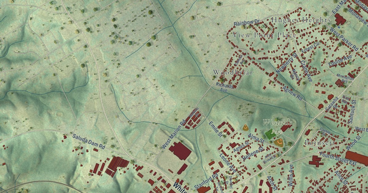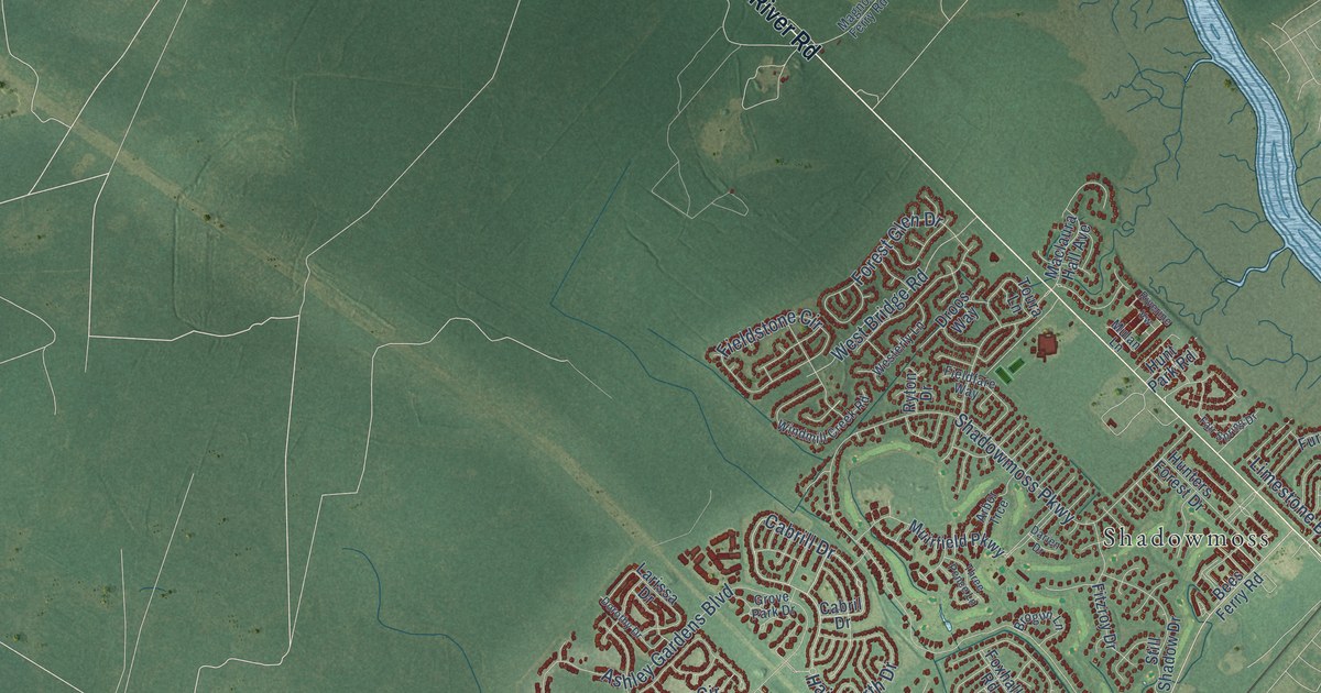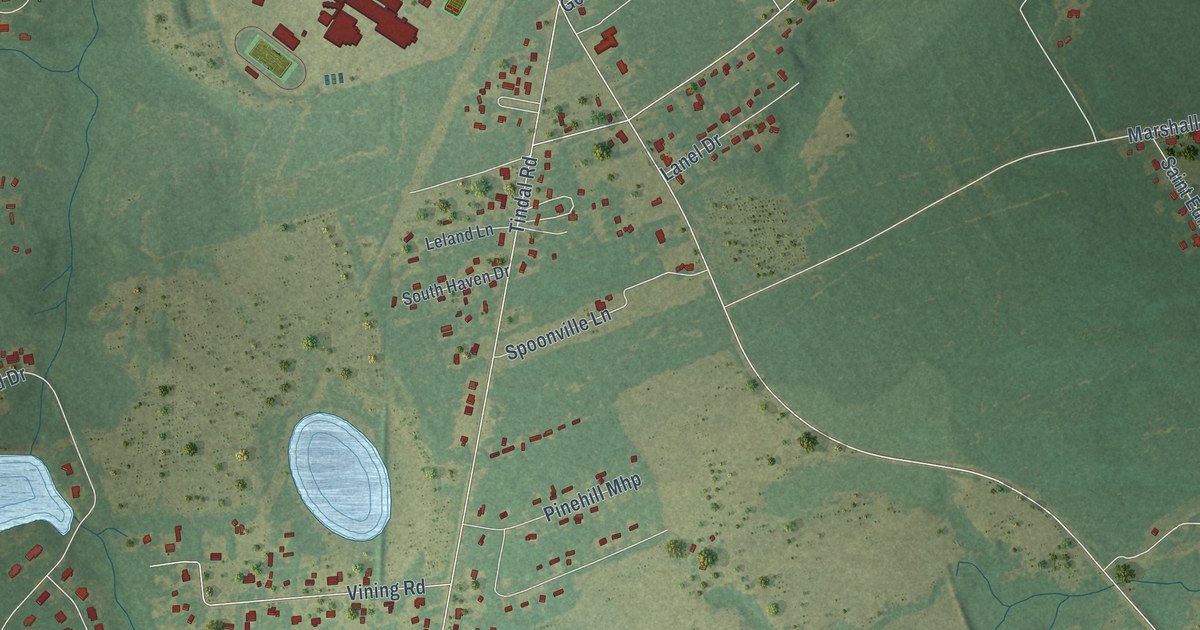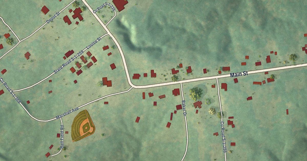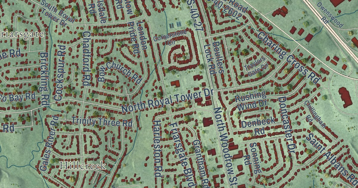
This beautifully detailed map of Irmo, South Carolina was created in 2026 using aerial imagery combined with modern topographical, census, street and landmark data. It’s a one-of-a-kind view of Irmo that combines accurate data with a vintage aesthetic. The map shows every building in its true location, many of the roads carry their names, and the shaded topographic relief shows the shape of the land.
Explore an aerial view of Irmo, South Carolina
On the map you’ll find Coatesworth, East Lake, Friarsgate, and Hillcreek, along with Broad River Road, Lake Murray Boulevard, Dreher Shoals Road, Dutch Fork Road, North Lake Drive, Saint Andrews Road, Salem Church Road, Woodrow Street, and more. If you look closely you can even find your house accurately drawn in its correct location. Zoom in on the preview to look for yours.
Did you know this piece of Irmo, South Carolina history?
From the South Carolina Encyclopedia: "Incorporated on Christmas Eve 1890 and extending one-half mile in all directions from a new railroad depot, Irmo got its name from the surnames of two officers of the fledgling Columbia, Newberry, and Laurens Railroad: C. J. Iredell and H. C. Mosely."
Take a closer look at the Irmo map
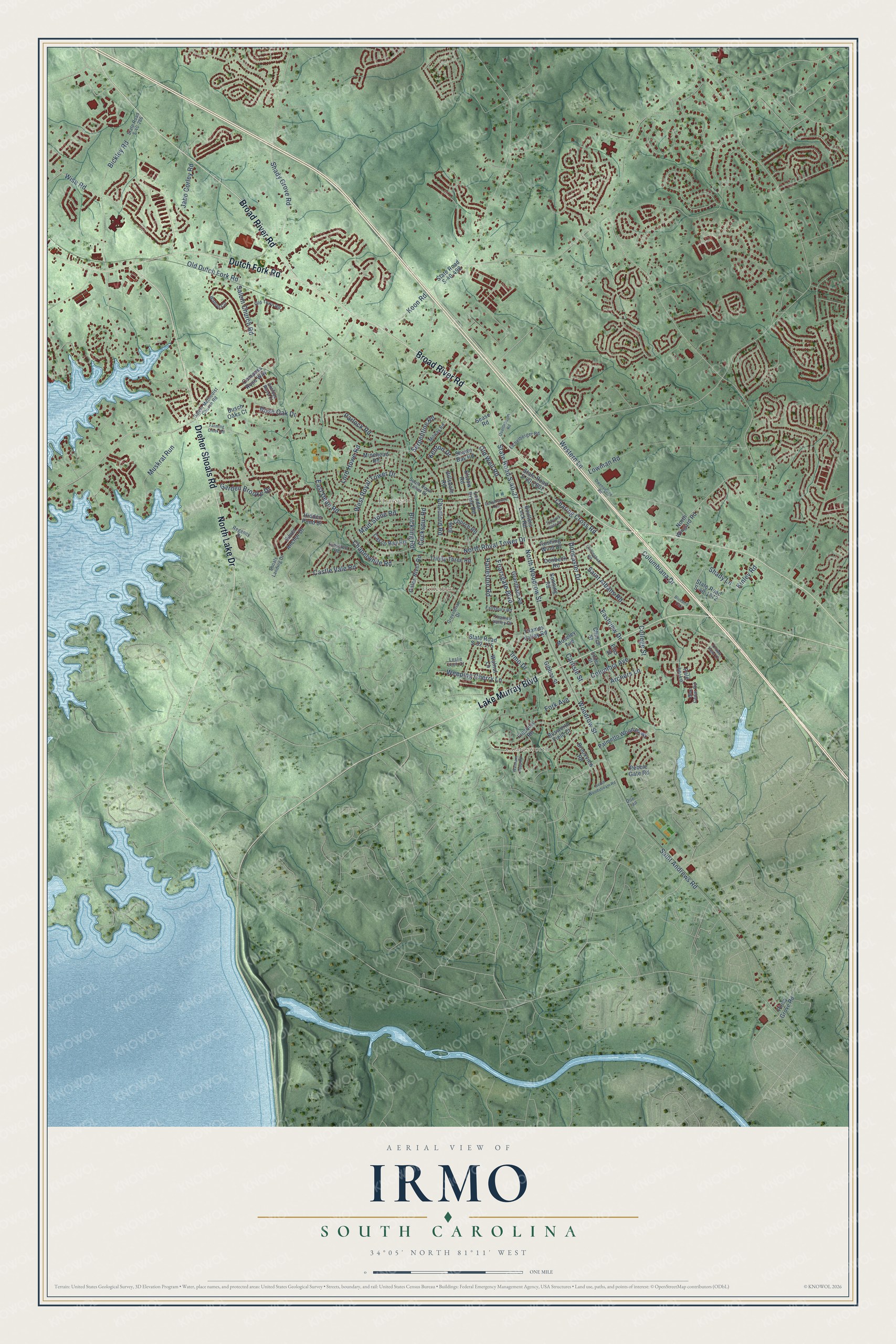
Street and place names on the Irmo, South Carolina map
These names are printed on the map of Irmo, South Carolina.
Places: Hillcreek, Coatesworth and Friarsgate.
Streets and roads: Broad River Road, Lake Murray Boulevard, Dreher Shoals Road, Dutch Fork Road, North Lake Drive, North Royal Tower Drive, North Woodrow Street, West Royal Tower Drive, Woodrow Street, Chapelwhite Road, Salem Church Road, Harleston Road.
More street names, A to Z
Antique Rose Court, Archers Lane, Bickley Road, Billsdale Road, Bluebird Trail, Blue Cedar Road, Bosworth Field Court, Boulters Lock Road, Bow Church Road, Brickling Road, Brookview Road, Busch Oaks Court, Carlisle Street, Casco Bay Road, Castle Vale Road, Chadford Road, Charing Cross Road, Childs Street, Chillingham Road, Church Street, Cockspur Road, College Street, Columbia Avenue, Columbiana Drive, Compass Rose Way, Cornerstone Circle, Cressfell Road, Crown Point Court, Denbeck Road, Doe Trail, Doncaster Drive, East Dean Road, Eastview Drive, Eichelberger Road, Ellis Street, Elstow Road, Fallsbury Road, Farming Creek Road, Finsbury Road, Fork Avenue, Friarsgate Boulevard, Gales River Road, Garden Brooke Drive, Gibbes Street, Grantham Road, Greenbriar Drive, Hidden Pond Court, Irmo Drive, Jabo Corley Road, Kenton Drive, Kinley Road, Koon Road, Leslie Loch Court, London Pride Road, Lord Howe Road, Lowman Road, Maid Stone Road, Milway Road, Minehead Road, Moseley Avenue, Muskrat Run, North Wingard Road, Old Dutch Fork Road, Old Town Road, Old Well Road, Owenswood Road, Pale Ivy Lane, Palmetto Wood Parkway, Parlock Road, Pebble Gate Road, Piney Grove Road, Quattlebaum Road, Regency Drive, Rose Oak Drive, Rushing Wind Drive, Saint Albans Road, Saint Andrews Road, Salem Methodist Church Road, Sease Road, Serpentine Road, Shady Grove Road, Shady Lane, Shawn Bay Road, Shoals Landing Drive, Silver Anchor Drive, Sonning Road, South Royal Tower Drive, South Woodstream Road, State Road S-32-175, State Road S-40-27, State Road S-40-286, State Road S-40-498, State Road S-40-1672, State Road S-40-2602, Thames Valley Court, Thames Valley Road, Traylors Gate Circle, Trinity Three Road, Wahoo Circle, Walnut Lane, Waltham Abby Road, Weeping Cherry Lane, Western Lane, Wise Road.
See the Irmo, South Carolina map on a wall
The Irmo map as an 18 x 24 inch print in a black frame.

This beautifully detailed map of Irmo makes an attractive addition to your office, library, or den, and it can even be used to teach children the geography and history of the area. It also makes a great gift for anyone who grew up in Irmo or moved away. When you’re done exploring, click here to get your copy of the Irmo map.