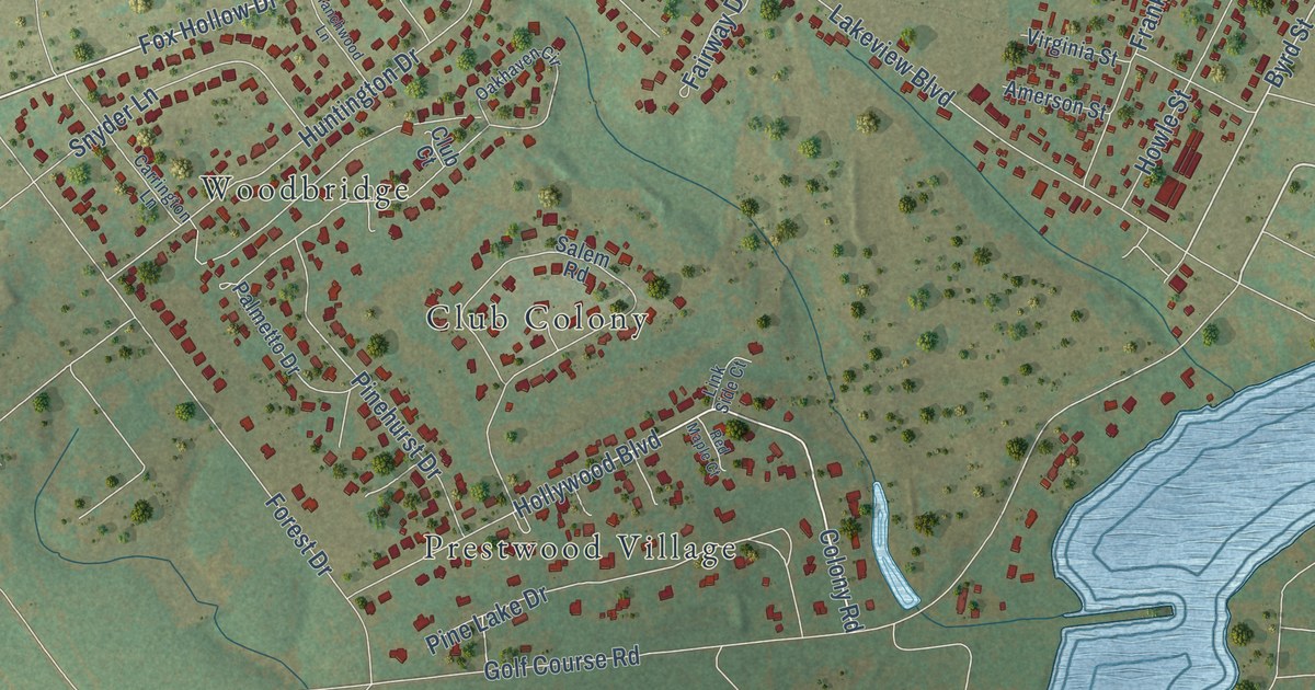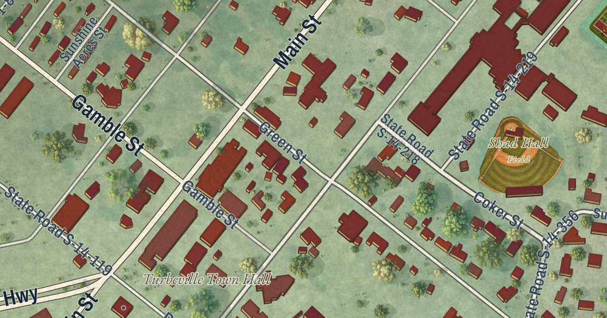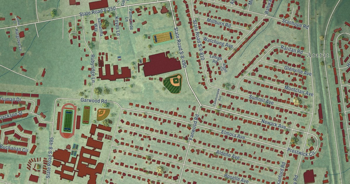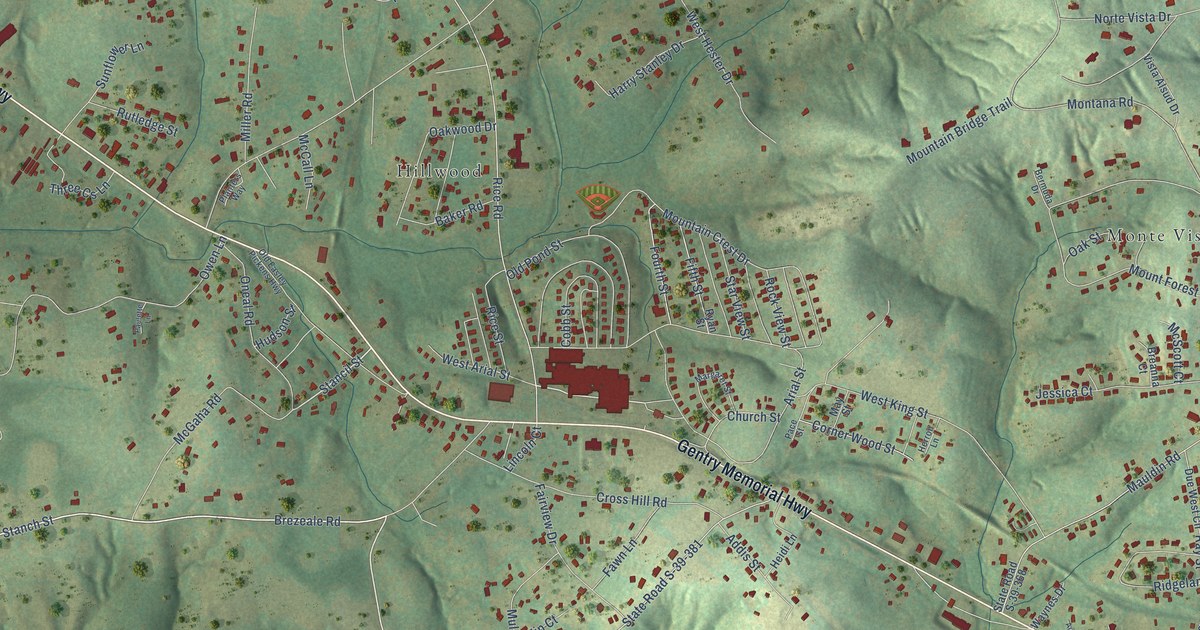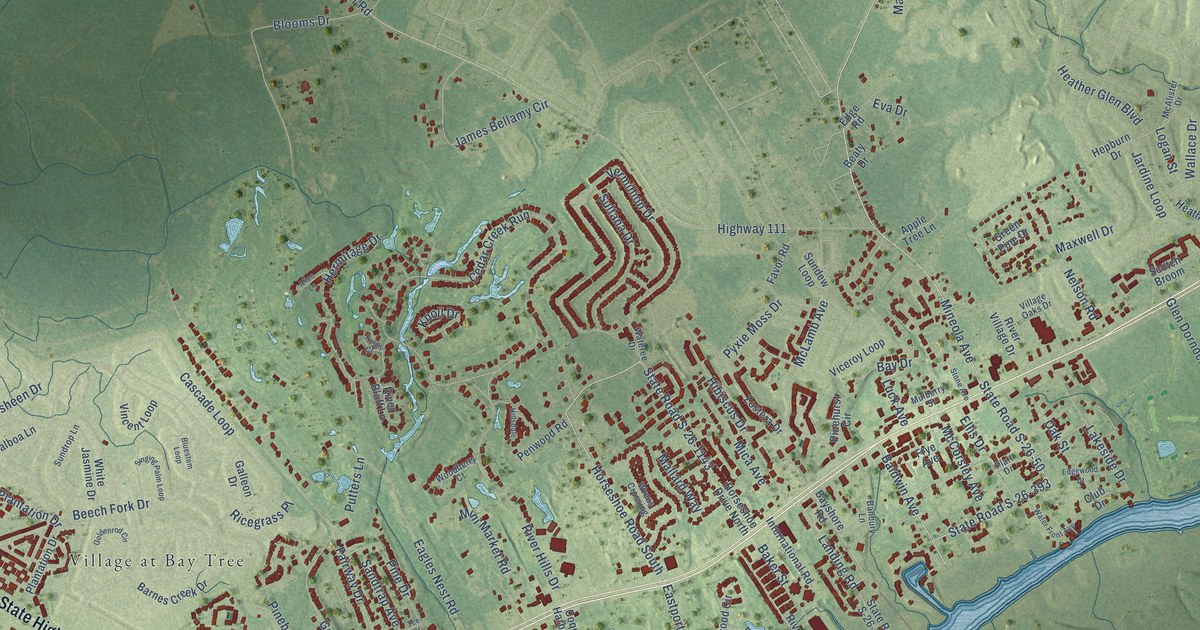
This beautifully detailed map of Little River, South Carolina was created in 2026 using aerial imagery combined with modern topographical, census, street and landmark data. It’s a one-of-a-kind view of Little River that combines accurate data with a vintage aesthetic. The map shows every building in its true location, many of the roads carry their names, and the shaded topographic relief shows the shape of the land.
Explore an aerial view of Little River, South Carolina
On the map you’ll find Golf View Plantation, Bay Forest, Brooksville, Cedar Creek Village, Coquina Harbor, Nixons Crossroads, Palmetto Shores, Stephens Crossroads, and Village at Bay Tree, along with East State Highway 9, State Road S-26-393, State Road S-26-50, and more. If you look closely you can even find your house accurately drawn in its correct location. Zoom in on the preview to look for yours.
Did you know this piece of Little River, South Carolina history?
From the Historical Marker Database: "In the 19th century, the village of Little River was an important entrepôt in the Carolinas’ coastal shipping industry."
Take a closer look at the Little River map
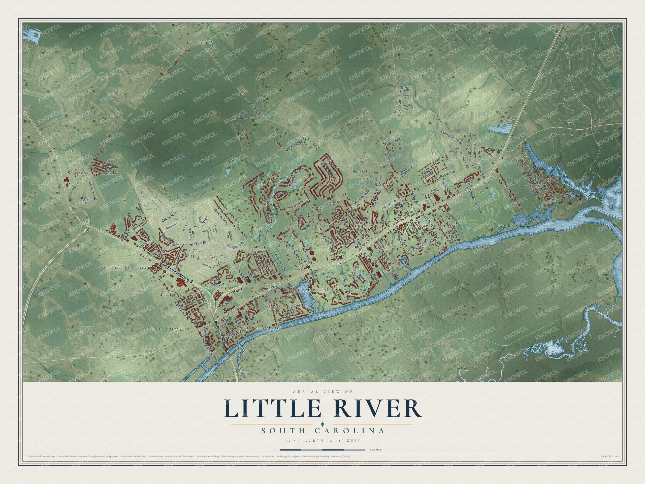
Street and place names on the Little River, South Carolina map
These names are printed on the map of Little River, South Carolina.
Places: Golf View Plantation, Bay Forest, Brooksville, Cedar Creek Village, Coquina Harbor, Nixons Crossroads, Palmetto Shores, Stephens Crossroads and Village at Bay Tree.
Streets and roads: East State Highway 9, State Road S-26-393, State Road S-26-50, Little River Drive, Horseshoe Road South, Mineola Avenue, McLamb Avenue, Baldwin Avenue, State Road S-26-1143, Heather Glen Boulevard, Highway 111, Wampee Road.
More street names, A to Z
Adams Way, Alice Lane, Apple Tree Lane, Baker Street, Balboa Lane, Banbury Lane, Barber Street, Barnes Creek Drive, Bay Drive, Bayshore Road, Beaty Drive, Beech Fork Drive, Big Landing Drive, Blooms Drive, Bluestem Loop, Captains Drive, Cascade Loop, Cedar Creek Run, Cedar Light Lane, Club Drive, Coquina Harbour Drive, Deer Run, Dykman Circle, Eagles Nest Road, Eastport Boulevard, Edge Road, Edgewood Drive, Ellis Drive, Eva Drive, Eversheen Drive, Fairway Drive, Favor Road, Fifth Avenue North, Forest Park Drive, Frye Avenue, Galleon Drive, Gateway Drive, Glen Dornoch Way, Goldenrod Circle, Golf Avenue, Green Pine Drive, Greystone Boulevard, Heather Glen Way, Hepburn Drive, Hermitage Drive, Hibiscus Drive, Hillsdale, Hope Lane, Horseshoe Drive North, International Road, Island Way, James Bellamy Circle, Jardine Loop, Kapalua Loop, Kings Court, Kingsport Road, Kinlaw Street, Knoll Drive, Lake Circle, Lakeside Drive, Landing Road, Lightkeepers Way, Little River Road, Live Oak Drive, Logan Street, Lowell Avenue, Lri Lane, Luck Avenue, Mallard Way, Marion Circle, Marley Blue Drive, Maxwell Drive, Maya Layne Drive, McAlister Drive, McCorsley Avenue, Mica Avenue, Mini Market Road, Morgan Avenue, Mulberry Street, Natures Trail, Nature Trail, Nelson Road, North US Highway 17, Oak Street, Oakwood Circle, Olde Highway 17, Olympic Street, Park Street, Park Way Lane, Penwood Road, Pinebrook Circle, Pine Drive, Pinehurst Circle, Pinnacle Place, Plantation Drive, Platt Drive, Putters Lane, Pyxie Moss Drive, Queens Road, Red Tip Boulevard, Retreat Place, Ricegrass Place, River Bluff Lane, Rivergate Lane, River Hills Drive, River Road, River Village Drive, Saint Bay Drive, Sandtrap Avenue, Sandy Side Drive, Scotch Broom, Sea Mountain Highway, Singing Palm Loop, Spa Drive, State Road S-26-20, State Road S-26-1144, Stone Avenue, Sultana Drive, Sundew Loop, Sundrop Lane, Swamp Fox Circle, Tee Street, Turtle Lane, Vereen Circle, Vereen Road, Vermillion Drive, Viceroy Loop, Village Oaks Drive, Villas Drive, Vincent Loop, Wailea Circle, Wallace Drive, Wateree Drive, Water Front Avenue, Wedgewood Drive, West Plantation Drive, White Jasmine Drive, Willard Street, Woodberry Court, Wrens Crossing, Zostera Drive.
See the Little River, South Carolina map on a wall
The Little River map as an 18 x 24 inch print in a black frame.

This beautifully detailed map of Little River makes an attractive addition to your office, library, or den, and it can even be used to teach children the geography and history of the area. It also makes a great gift for someone who left Little River and still calls it home. When you’re done exploring, click here to get your copy of the Little River map.