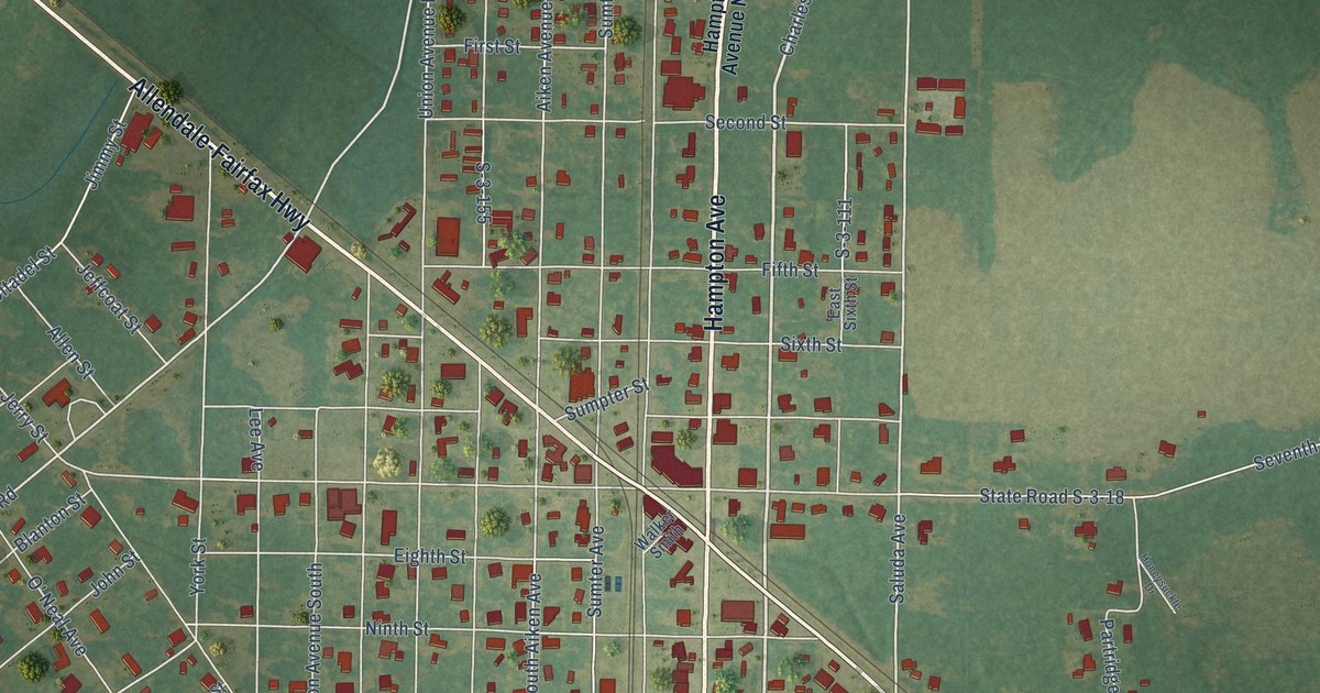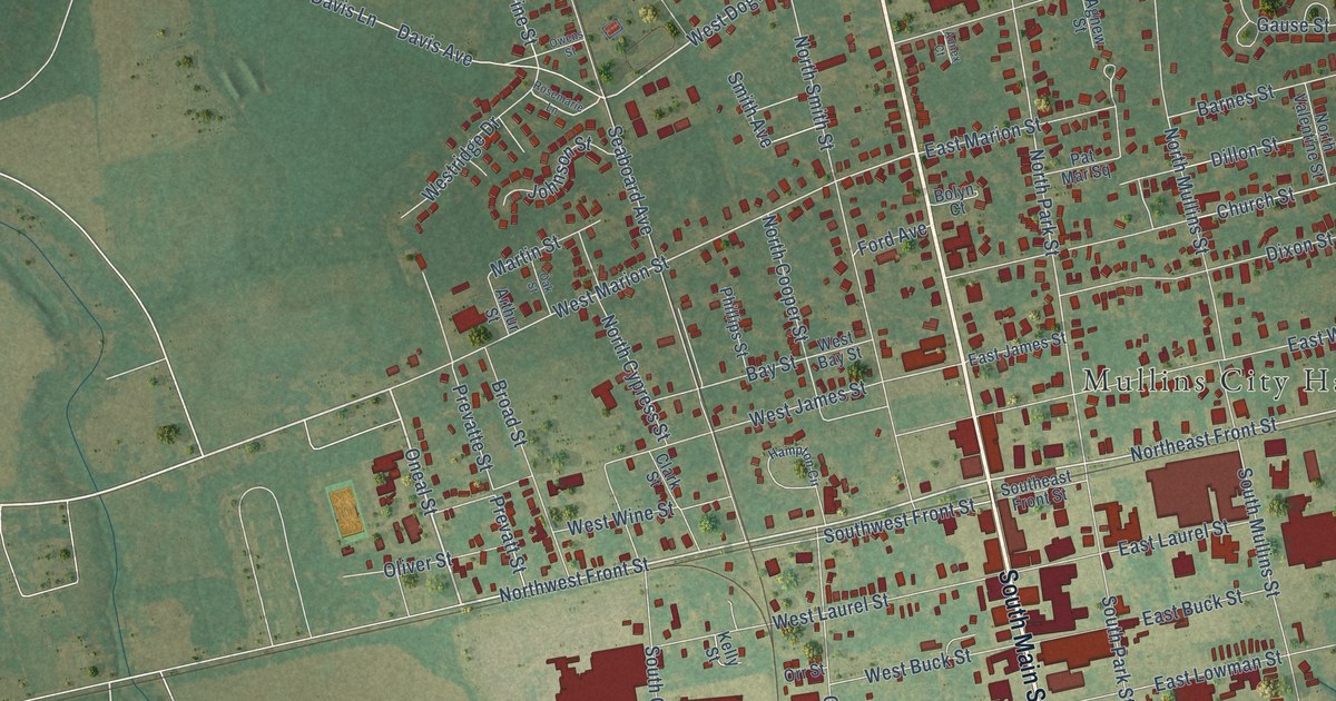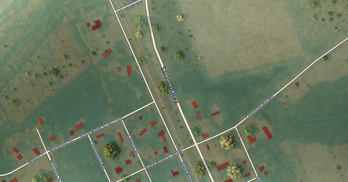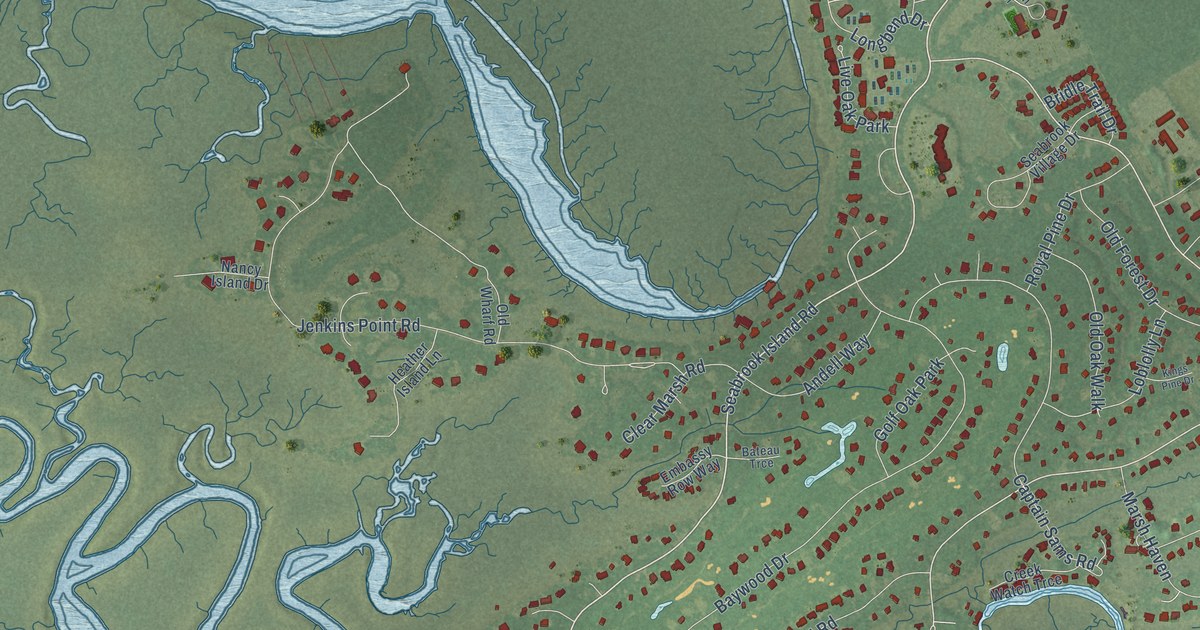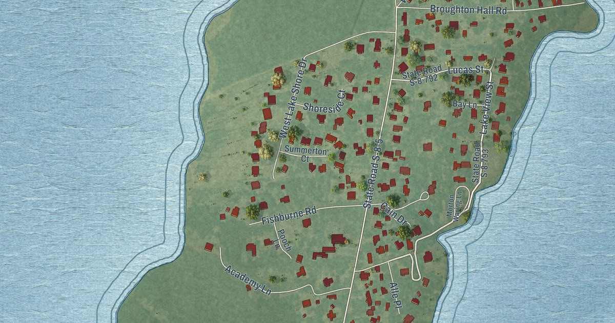
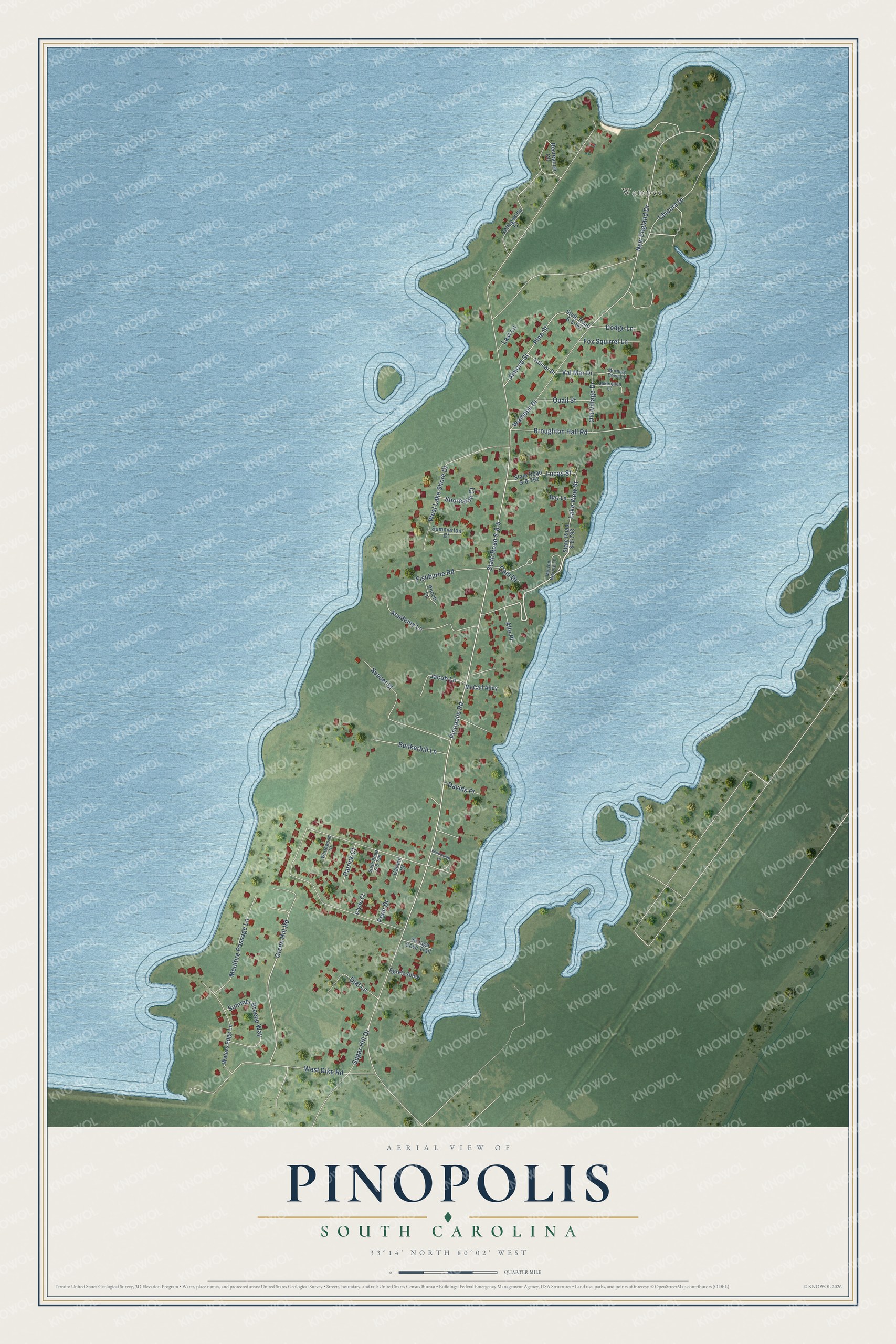
This beautifully detailed map of Pinopolis, South Carolina was created in 2026 using aerial imagery combined with modern topographical, census, street and landmark data. It's a modern aerial view of Pinopolis in Berkeley County, South Carolina, that combines modern data with a vintage aesthetic. The roads feature printed names, and if you look closely you can find your exact house accurately shown in its correct location.
Explore an aerial view of Pinopolis, South Carolina
On this map you'll find Wampee, Lake View Street, Green Hill Road, New England Drive, State Road S-8-5, Pinopolis Road, Chicora Drive, West Dike Road, West Lake Shore Drive, Sunset Street, Wampee Drive, Broughton Hall Road, and more. Each red shape is a building, so zoom in on the preview and look for yours.
Pinopolis is a community in Berkeley County. The Census Bureau counted 982 people here in 2020. Pinopolis sits about 4 miles northwest of Moncks Corner, 7 miles southwest of Bonneau Beach and 8 miles southwest of Bonneau. The map prints the town name in its title panel, with the coordinates below it.
Take a closer look at the Pinopolis map
Names on this map
These names are printed on this map.
Places: Wampee.
Streets and roads: Lake View Street, Green Hill Road, New England Drive, State Road S-8-5, Pinopolis Road, Chicora Drive, West Dike Road, West Lake Shore Drive, Sunset Street, Wampee Drive, Broughton Hall Road, Almond Street.
More street names, A to Z
Academy Lane, Alle Place, Bay Lane, Bunkerhill Lane, Cain Drive, Carson Court, Clyde Court, Cottageside Court, Davids Place, Dial Lane, Dodge Lane, Egrets Alley, Fellowship Lane, Fishburne Road, Fox Squirrel Lane, Jacob Lane, Lakenglen Lane, Last Lane, Lucas Street, McCall Alley, Morning Dove Lane, Morton Waring Lane, Moultire Passage Lane, Old Village Drive, Patrick Court, Penn Drive, Pine Street, Pooch Lane, Quail Street, Recreation Circle, Shoreside Court, State Road S-8-601, State Road S-8-792, State Road S-8-793, State Road S-8-798, Sugar Hill Drive, Summer Breeze Way, Summerton Court, Val Mar Drive, Valmar Drive, Villiage Cove Trail, Waters Edge Lane, Whitewood Court.
See it on a wall
The Pinopolis map as a framed print. Swipe for more.


Created by KNOWOL in 2026. The buildings are small red shapes, the roads carry their printed names, and shaded relief shows the shape of the land. The title panel reads "AERIAL VIEW OF PINOPOLIS, SOUTH CAROLINA" with 33°14' NORTH 80°02' WEST.
It suits a den, a classroom or a front hall, and it makes a gift for anyone with Pinopolis roots. Open the preview and find the block you know. See sizes and frames for the Pinopolis map.