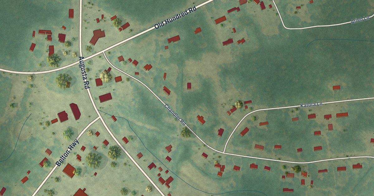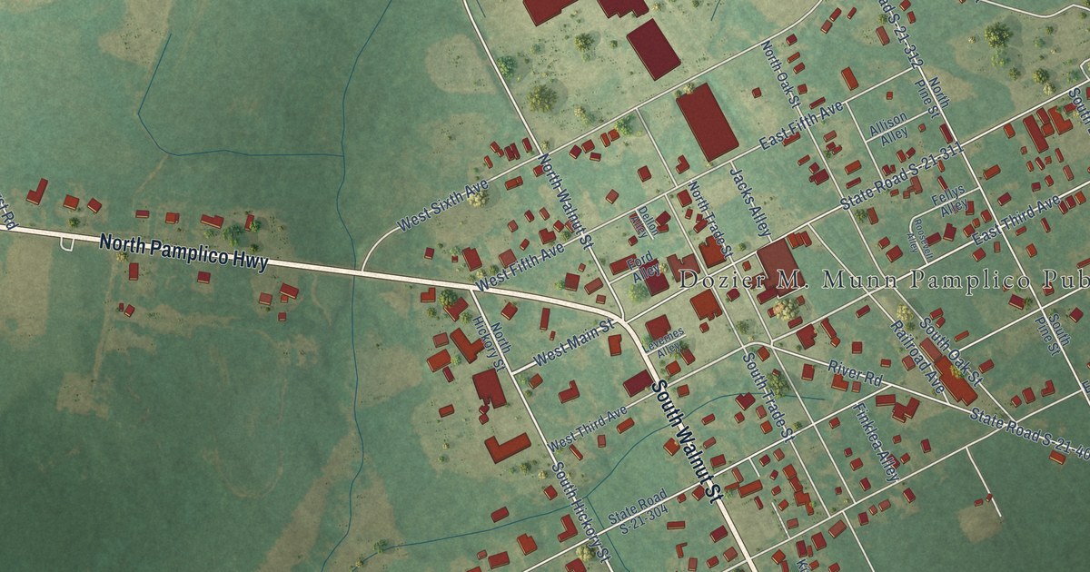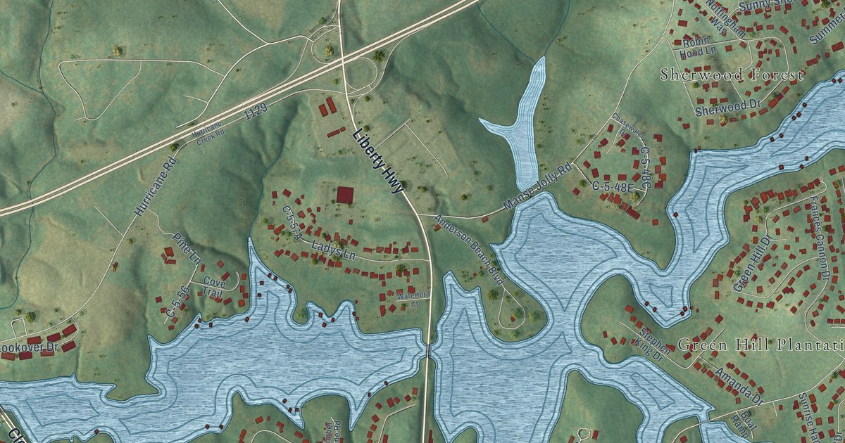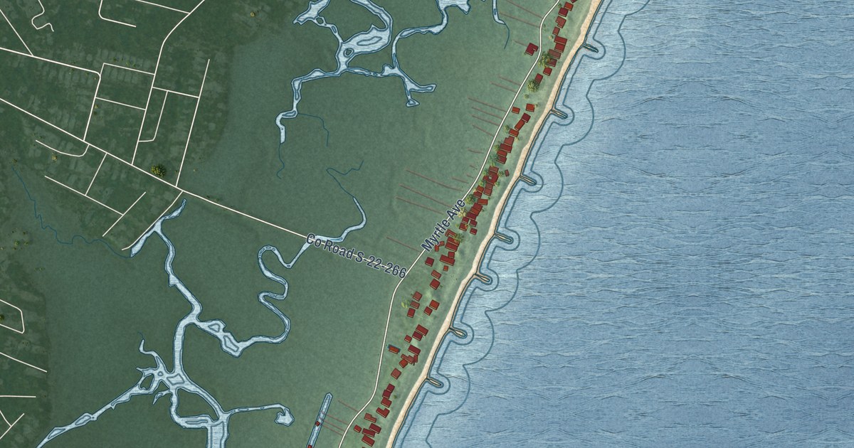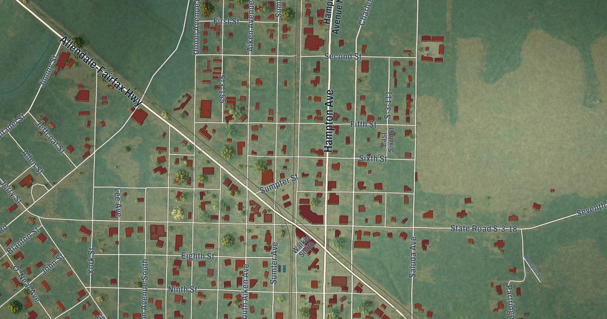
This beautifully detailed map of Fairfax, South Carolina was created in 2026 using aerial imagery combined with modern topographical, census, street and landmark data. It’s a one-of-a-kind view of Fairfax that combines accurate data with a vintage aesthetic. The map shows every building in its true location, many of the roads carry their names, and the shaded topographic relief shows the shape of the land.
Explore an aerial view of Fairfax, South Carolina
On the map you’ll find Fairfax Cemetery, along with Hampton Avenue, Charleston Avenue, Allendale-Fairfax Highway, Allendale-Hampton Highway, South Charleston Avenue, Beaufurd Avenue, State Road S-25-720, State Road S-25-586, Vcarl Drive, Beaufort Avenue, Furman-Googe Road, and more. If you look closely you can even find your house accurately drawn in its correct location. Zoom in on the preview to look for yours.
Did you know this piece of Fairfax, South Carolina history?
From Scencyclopedia.org: "The first African American on the Fairfax Town Council, Quillie Devore, served from 1969 to 1990."
Take a closer look at the Fairfax map
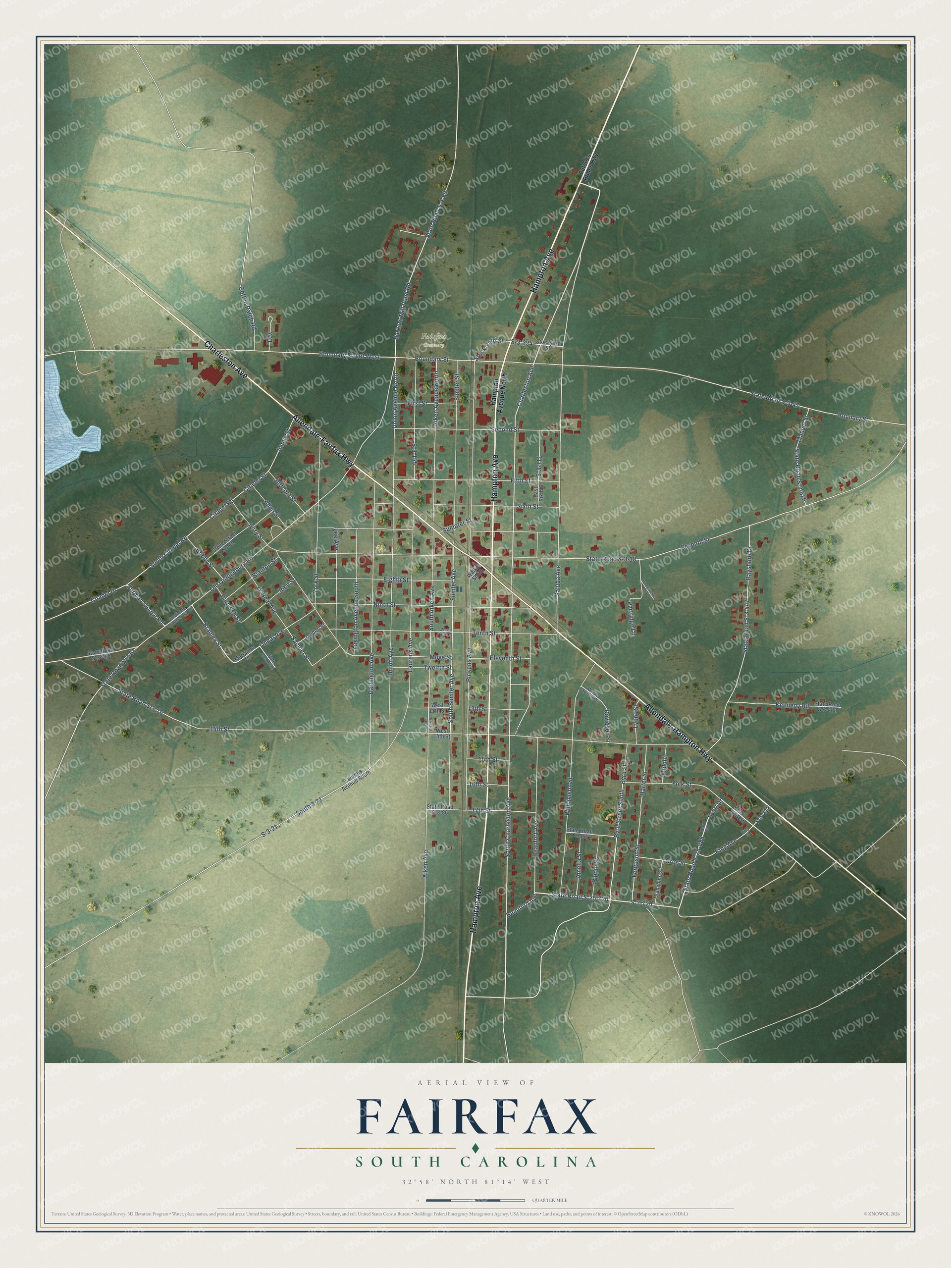
Street and place names on the Fairfax, South Carolina map
These names are printed on the map of Fairfax, South Carolina.
Places: Fairfax Cemetery.
Streets and roads: Hampton Avenue, Charleston Avenue, Allendale-Fairfax Highway, Allendale-Hampton Highway, South Charleston Avenue, Beaufurd Avenue, State Road S-25-720, State Road S-25-586, Vcarl Drive, Beaufort Avenue, Furman-Googe Road, South Citadel Road.
More street names, A to Z
13th Street, 14th Street, 15th Street, 16th Street, 17th Street, Aiken Avenue, Aiken Avenue North, Allen Street, Amelia Street, Barkers Mill Pond Road, Barnwell Street, Bayshore Drive, Blanton Street, Bobby Street, Boundary Street, Boundary Street West, Boundry Street, Bradley Street, Buford's Bridge Highway, Byrd Street, Byrd Street South, Carl Avenue, Citadel Drive, Citadel Road, Citadel Street, Cotton Patch Road, Darlington Avenue, Davidson Street, East Folk Street, East Sixth Street, Eighth Street, Eleventh Street, Ferguson Street, Fifth Street, First Street, Folk Street, Greg Street, Hampton Avenue North, Harter Street, Honeysuckle Drive, Jandon Street, Jeffcoat Street, Jerry Street, Jimmy Street, John Street, Kennedy Road, King Avenue, King Street, Laurens Avenue, Laurens Avenue South, Lee Avenue, Lexington Avenue South, Lyons Street, Manuel Street, Marianne Drive, Middle, Moye Street, Ninth Street, O' Neal Avenue, Old Orangeburg Road, Oneal Avenue, Partridge Lane, Pickens Avenue, Pippin Street, S-3-21, S-3-111, S-3-155, S-3-211, S-3-312, S-3-334, S-3-720, Saluda Avenue, Samuel Street, Second Street, Seventh Street, Sixth Street, South 3-21, South Aiken Avenue, South Aiken Street, South Old Orangeburg Road, South Sumter Avenue, State Road 350, State Road S-3-18, State Road S-3-47, State Road S-3-61, State Road S-3-76, State Road S-3-86, State Road S-3-89, State Road S-3-266, State Road S-3-447, State Road S-3-483, State Road S-3-502, State Road S-3-526, Steve Street South, Stock Yard Street, Stockyard Street, Sumpter Street, Sumter Avenue, Sumter Street, Sunshine Street, Tenth Street, Twelfth Street, Union Avenue, Union Avenue North, Walker Smith, West 13th Street, West 14th Street, West Davidson Street, West Tenth Street, Williamson Street, York Street.
See the Fairfax, South Carolina map on a wall
The Fairfax map as an 18 x 24 inch print in a black frame.

This beautifully detailed map of Fairfax makes an attractive addition to your office, library, or den, and it can even be used to teach children the geography and history of the area. It also makes a great gift for anyone with Fairfax roots. When you’re done exploring, click here to get your copy of the Fairfax map.