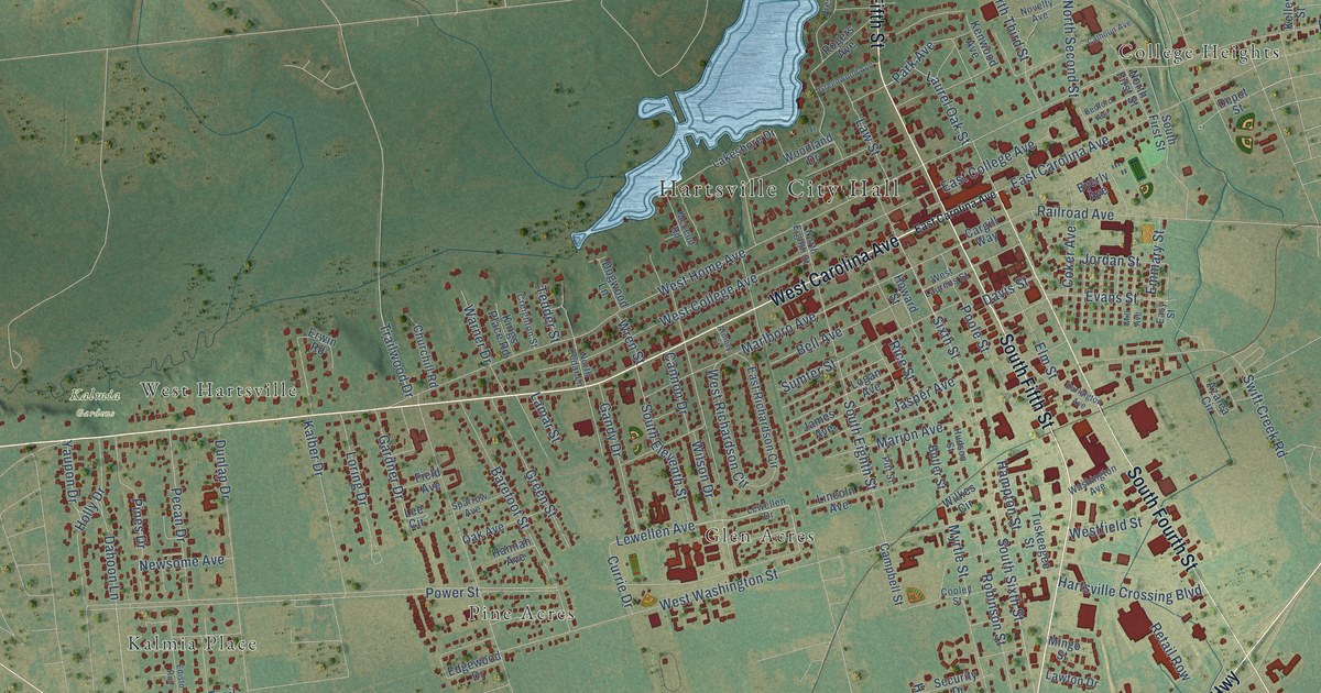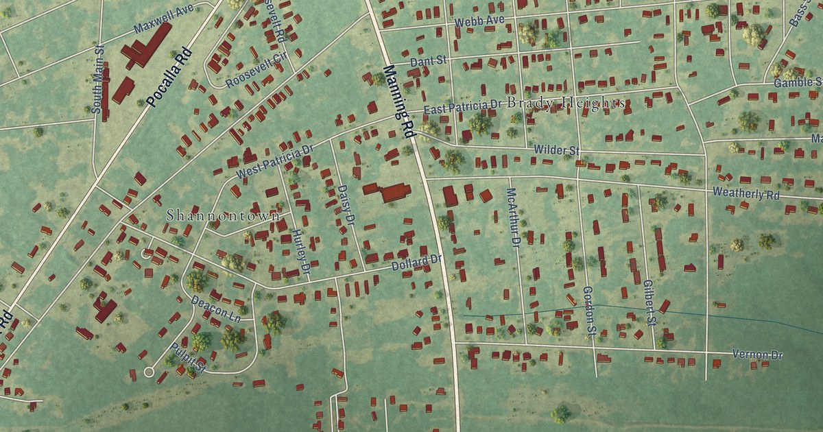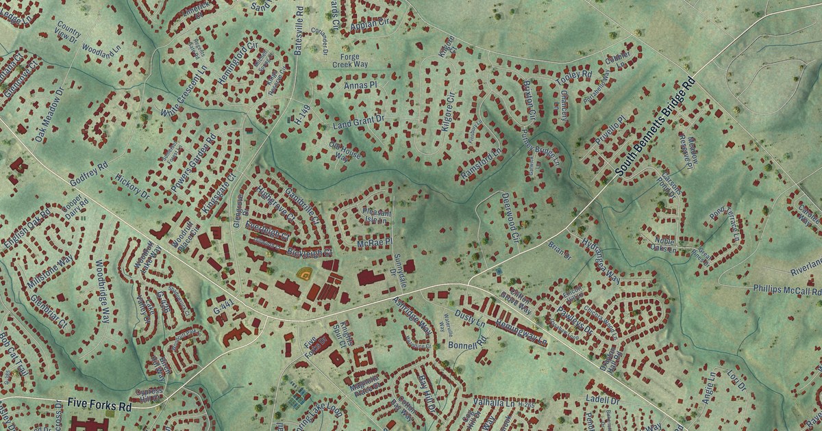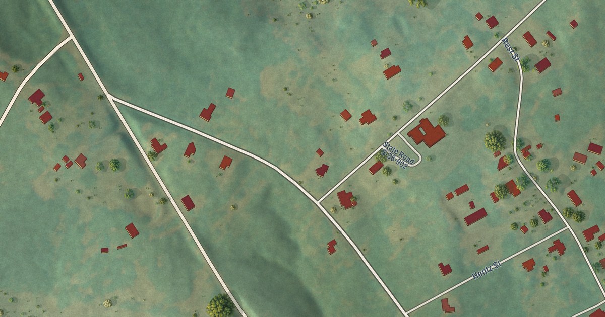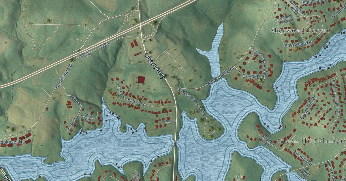
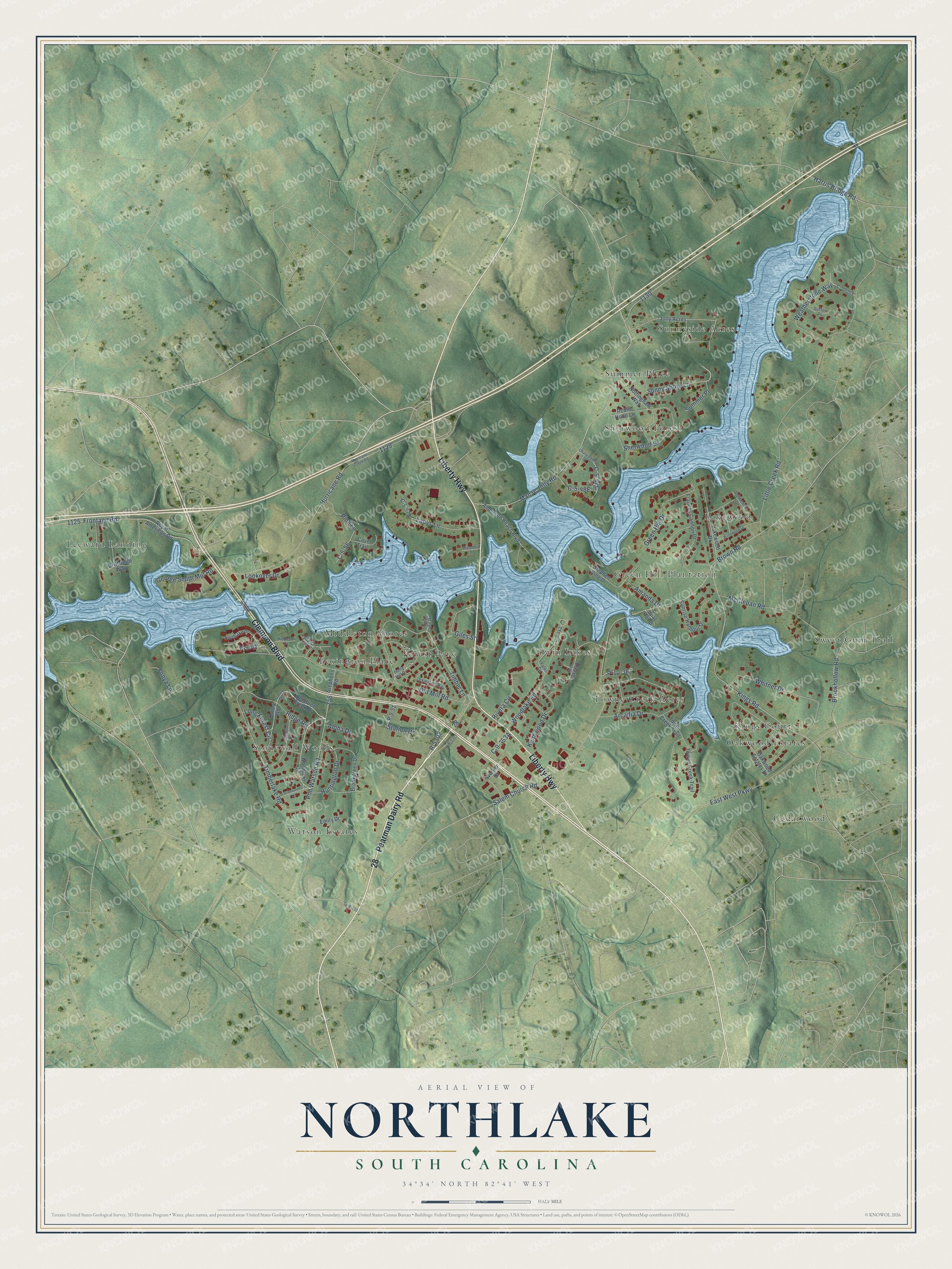
This beautifully detailed map of Northlake, South Carolina was created in 2026 using aerial imagery combined with modern topographical, census, street and landmark data. It’s a one-of-a-kind view of Northlake that combines accurate data with a vintage aesthetic. The map shows every building in its true location, many of the roads carry their names, and the shaded topographic relief shows the shape of the land.
Explore an aerial view of Northlake, South Carolina
On the map you’ll find Twin Lakes, Sunnyside Acres, Watson Estates, Leeward Landing, Lexington Place, Cedarwood, Sherwood Forest, Green Hill Plantation, Stonewall Woods, and Lakewood, along with Sweet Gum Trail, Kings Court, and more. Northlake sits about 3 miles northeast of Centerville, 4 miles northwest of Anderson and 4 miles southeast of Sandy Springs. If you look closely you can even find your house accurately drawn in its correct location. Zoom in on the preview to look for yours.
Take a closer look at the Northlake map
Names on this map
These names are printed on this map.
Places: Twin Lakes, Sunnyside Acres, Watson Estates, Sweet Gum Trail, Leeward Landing, Lexington Place, Cedarwood, Sherwood Forest, Green Hill Plantation, Kings Court, Stonewall Woods, Lakewood, Forest Park, Summer Place, Towne Creek Acres, Middleton Shores and Oakwood Estates.
Streets and roads: Clemson Boulevard, Pearman Dairy Road, Liberty Highway, R-5302, Timber Lane, Sunny Shore Lane, P-9-41, Little Creek Road, Brown Road, Kings Road, Old Mill Road, Manse Jolly Road.
More street names, A to Z
Aloha Drive, Amanda Drive, Anderson Beach Boulevard, Arcadia Drive, Binewood Lane, Boat Ramp, Brookgreen Drive, Brookhollow Road, C-5-56, C-9-353, C-10-202, Chasewater Drive, Cove Trail, Driftwood Drive, Driftwood Way, East West Parkway, Emily Drive, Fonya Lane, Frances Cannon Drive, Frontage Road, George Smith Mill Road, Giles Street, Green Hill Drive, Green Teal Lane, Harris Bridge Road, Hembree Creek Drive, Holly Hill Drive, Huntington Drive, Hurricane Creek Road, Hurricane Road, Jolly Acres, Keithwood Drive, Ladys Lane, Lakewood Drive, Lexington Way, Long Forest Circle, Lookover Drive, McClellan Road, Meadow Park Drive, Middleton Court, Northlake Drive, Nottingham Way, Oakwood Estates Drive, P-9-51, P-10-38, Phil Watson Road, Pine Lane, R-5303, Ridge Road, Rivera Circle, Robin Hood Lane, Royal American Road, Salem Church Road, Sherwood Drive, Station Drive, Stephen King Drive, Stephens Road, Sunrise Harbour Drive, Sutton Place, Tc-9-393, Timberlake Road, Timber Lane Road, Town Creek Trail, Towne Creek Trail, Twin Lakes Drive, Valley Drive, Valley Road, Walker Drive, Waterford Court, Weatherstone Way, Whitner Drive, Windwood Drive, Woodfern Circle, Woodlake Road, Yates Circle.
See it on a wall
The Northlake map as a framed print. Swipe for more.


This beautifully detailed map of Northlake makes an attractive addition to your office, library, or den, and it can even be used to teach children the geography and history of the area. It also makes a great gift for anyone with Northlake roots. When you’re done exploring, click here to get your copy of the Northlake map.