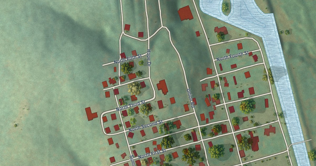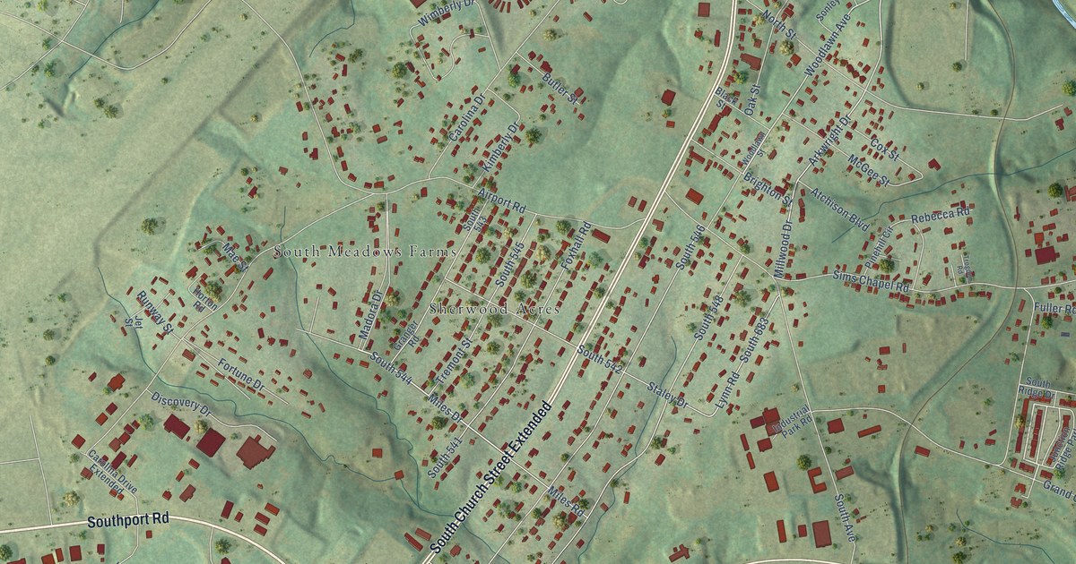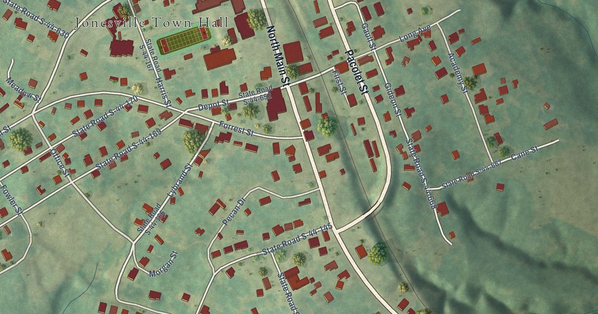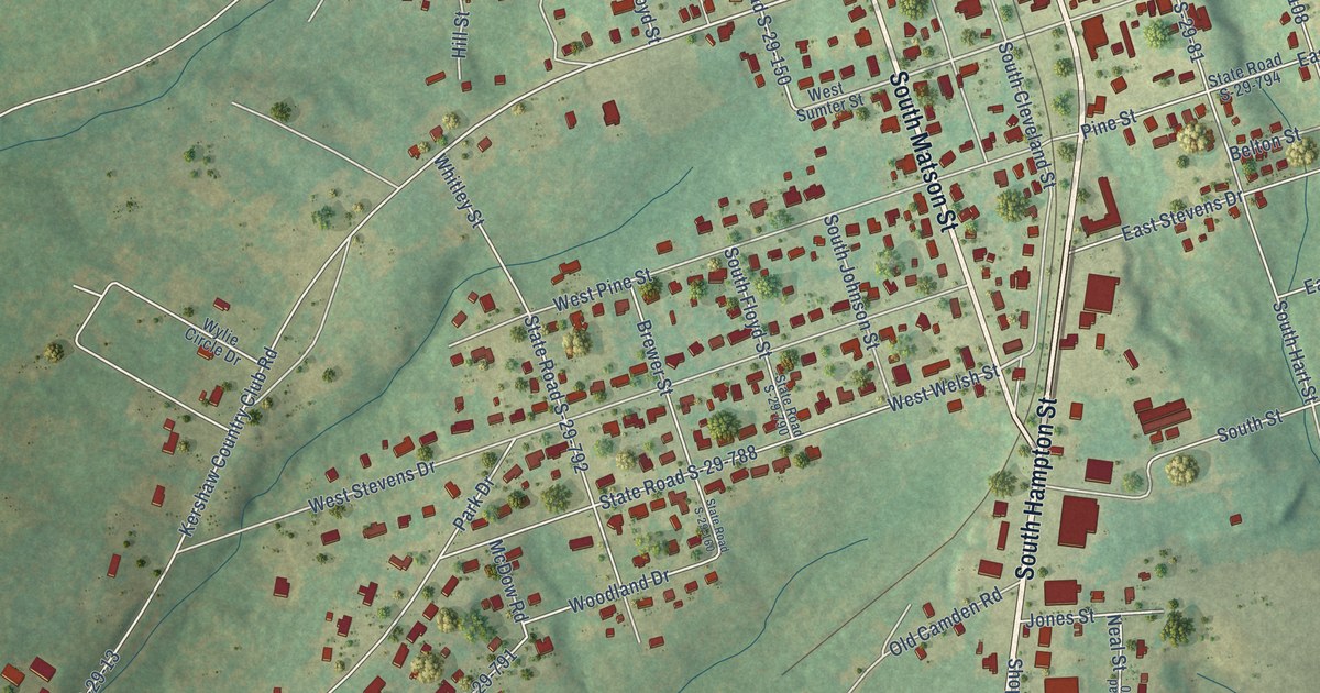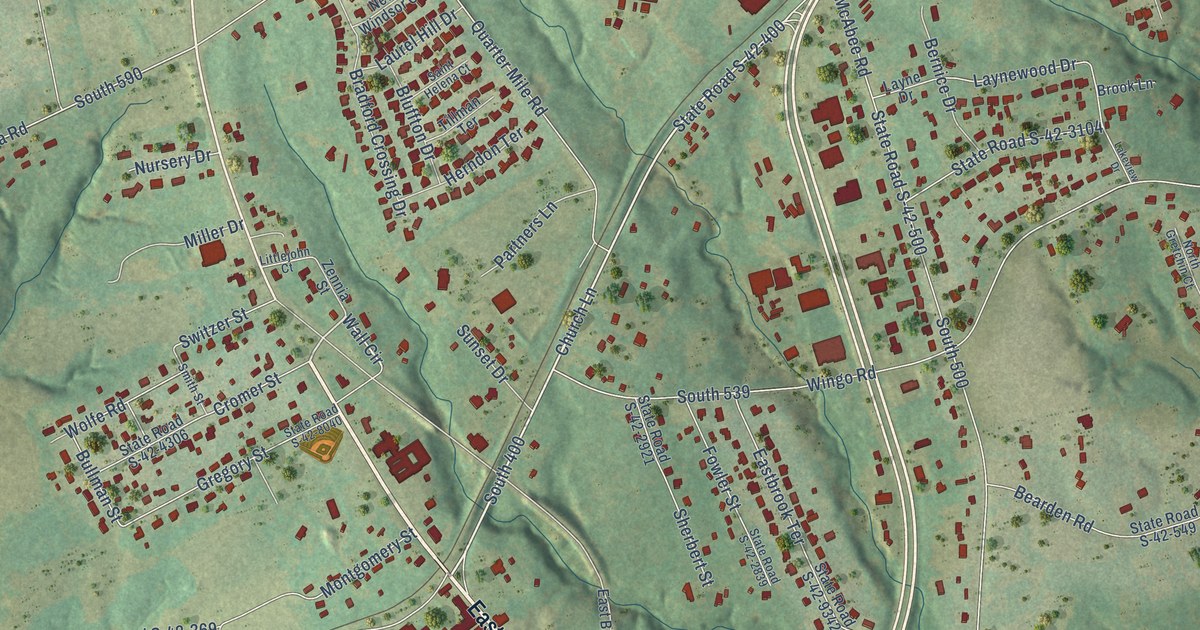
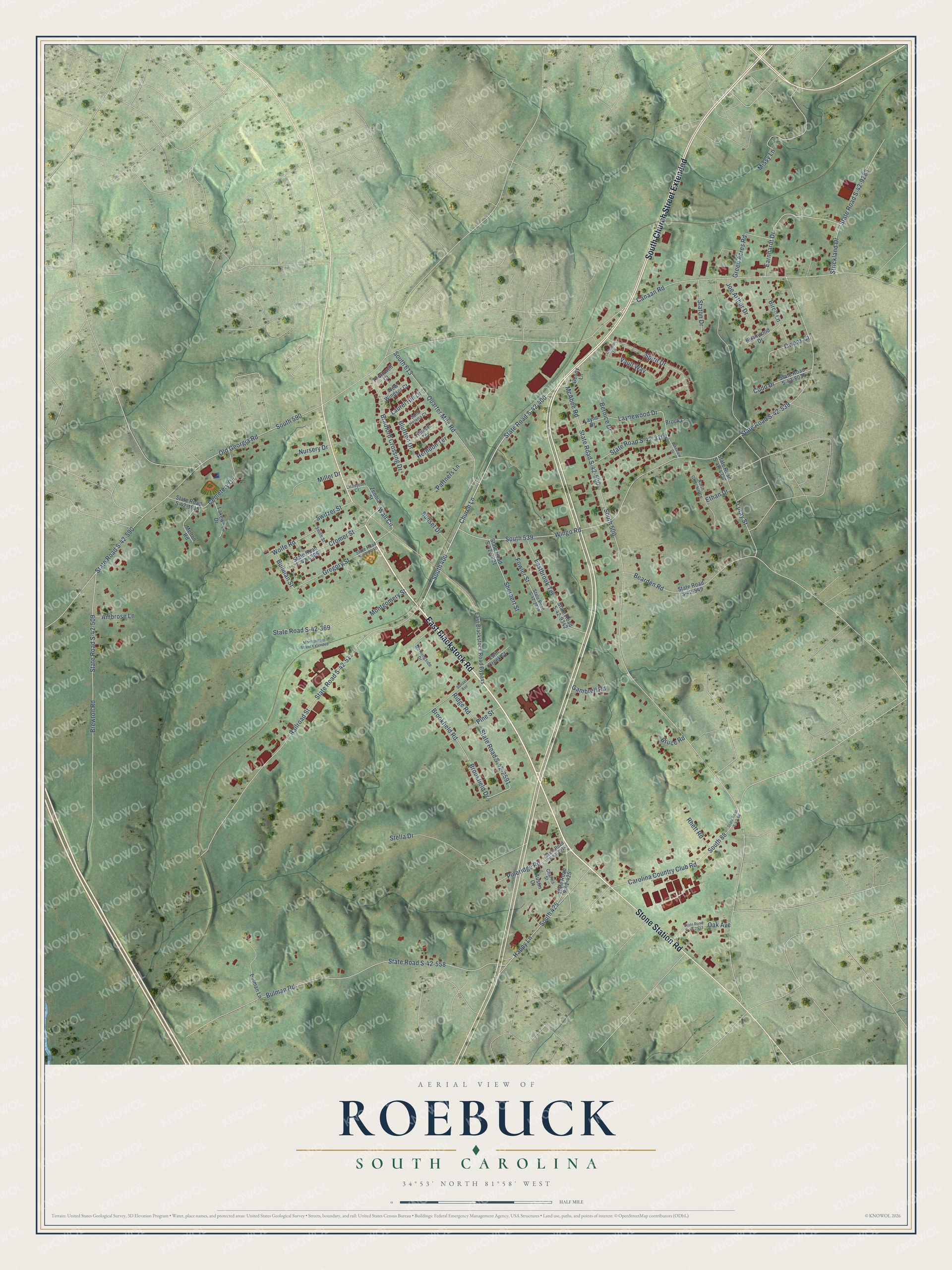
This beautifully detailed map of Roebuck, South Carolina was created in 2026 using aerial imagery combined with modern topographical, census, street and landmark data. It's a modern aerial view of Roebuck in Spartanburg County, South Carolina, that combines modern data with a vintage aesthetic. The roads feature printed names, and if you look closely you can find your exact house accurately shown in its correct location.
Explore an aerial view of Roebuck, South Carolina
On this map you'll find East Blackstock Road, Stone Station Road, South Church Street Extended, Church Lane, South 400, Wall Circle, Earnhardt Drive, South 590, Old Georgia Road, Happy Lane, South 425, Switzer Street, and more. Each red shape is a building, so zoom in on the preview and look for yours.
Roebuck is a community in Spartanburg County. The Census Bureau counted 2,357 people here in 2020. Roebuck sits about 3 miles southwest of Arkwright, 5 miles southwest of Spartanburg and 6 miles southeast of Fairforest. The map prints the town name in its title panel, with the coordinates below it.
Take a closer look at the Roebuck map
Names on this map
These names are printed on this map.
Streets and roads: East Blackstock Road, Stone Station Road, South Church Street Extended, Church Lane, South 400, Wall Circle, Earnhardt Drive, South 590, Old Georgia Road, Happy Lane, South 425, Switzer Street.
More street names, A to Z
Ambrose Lane, Austin Court, Bearden Road, Benny Lane, Bernice Drive, Birch Lane, Birchwood Drive, Bluffton Drive, Bradford Crossing Drive, Brewton Road, Brookfield Drive, Brookfield Road, Brook Lane, Bruce Road, Bullman Street, Bulman Lane, Bulman Road, Canaan Road, Carolina Country Club Road, Cemetery Circle, Charles Street, Cromer Street, Cudd Drive, East Blackstock Road Bypass, Eastbrook Terrace, Ethan Drive, Fowler Street, Gambrell Road, Green Acres Road, Gregory Street, Herndon Terrace, Joe Arthur Drive, Lakeview Drive, Lakewood Drive, Laurel Hill Drive, Layne Drive, Laynewood Drive, Littlejohn Court, Luray Street, McAbee Road, Melton Road, Miller Drive, Missy Lane, Montgomery Street, Montgomery Street Extended, Morningside Drive, New Windsor Court, North Gretchin Court, Nursery Drive, Oak Avenue, Owens Court, Partners Lane, Pineridge Road, Pine Street, Quarter Mile Road, Railroad Street, Rhett Road, Ridge Road, Saint Helena Court, Sherbert Street, Smith Street, South 88, South 500, South 539, South 613, Spirit Drive, State Road S-42-88, State Road S-42-369, State Road S-42-400, State Road S-42-425, State Road S-42-500, State Road S-42-509, State Road S-42-511, State Road S-42-539, State Road S-42-549, State Road S-42-558, State Road S-42-590, State Road S-42-1915, State Road S-42-2014, State Road S-42-2591, State Road S-42-2839, State Road S-42-2913, State Road S-42-2921, State Road S-42-3104, State Road S-42-4306, State Road S-42-4347, State Road S-42-8035, State Road S-42-8040, State Road S-42-9283, State Road S-42-9342, Staton Drive, Stella Drive, Strickland Drive, Sunset Avenue, Sunset Drive, Thornwell Court, Tillman Terrace, Twin Creek Court, Vault Way, Wingo Road, Winston Lane, Wolfe Road, Zennia Street.
See it on a wall
The Roebuck map as a framed print. Swipe for more.


Created by KNOWOL in 2026. The buildings are small red shapes, the roads carry their printed names, and shaded relief shows the shape of the land. The title panel reads "AERIAL VIEW OF ROEBUCK, SOUTH CAROLINA" with 34°53' NORTH 81°58' WEST.
Hang it in the hallway, the office or the cabin, or give it to someone who left Roebuck and still calls it home. Open the preview and look for a street you know. See sizes and frames for the Roebuck map.