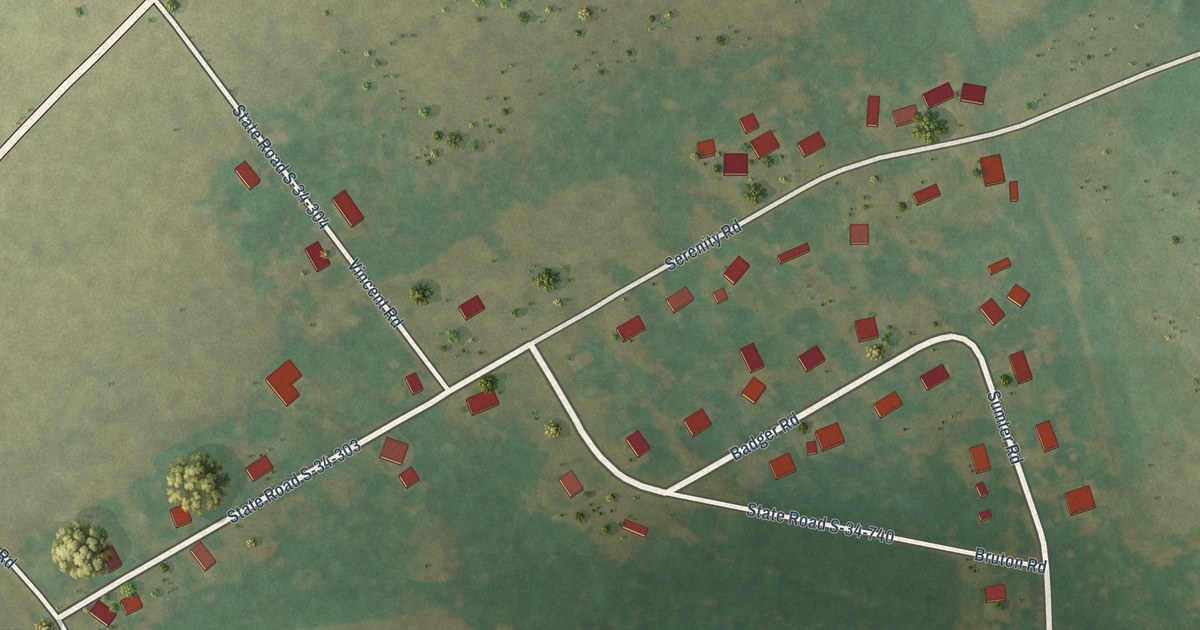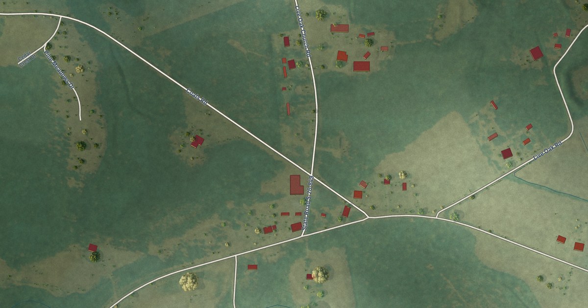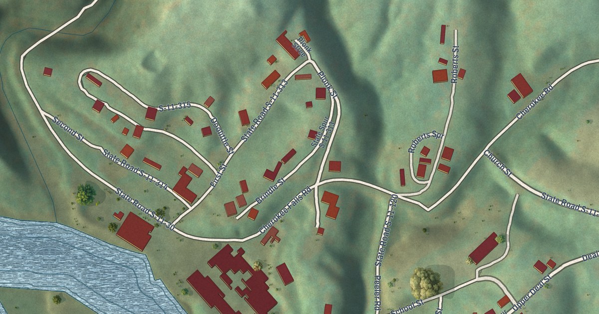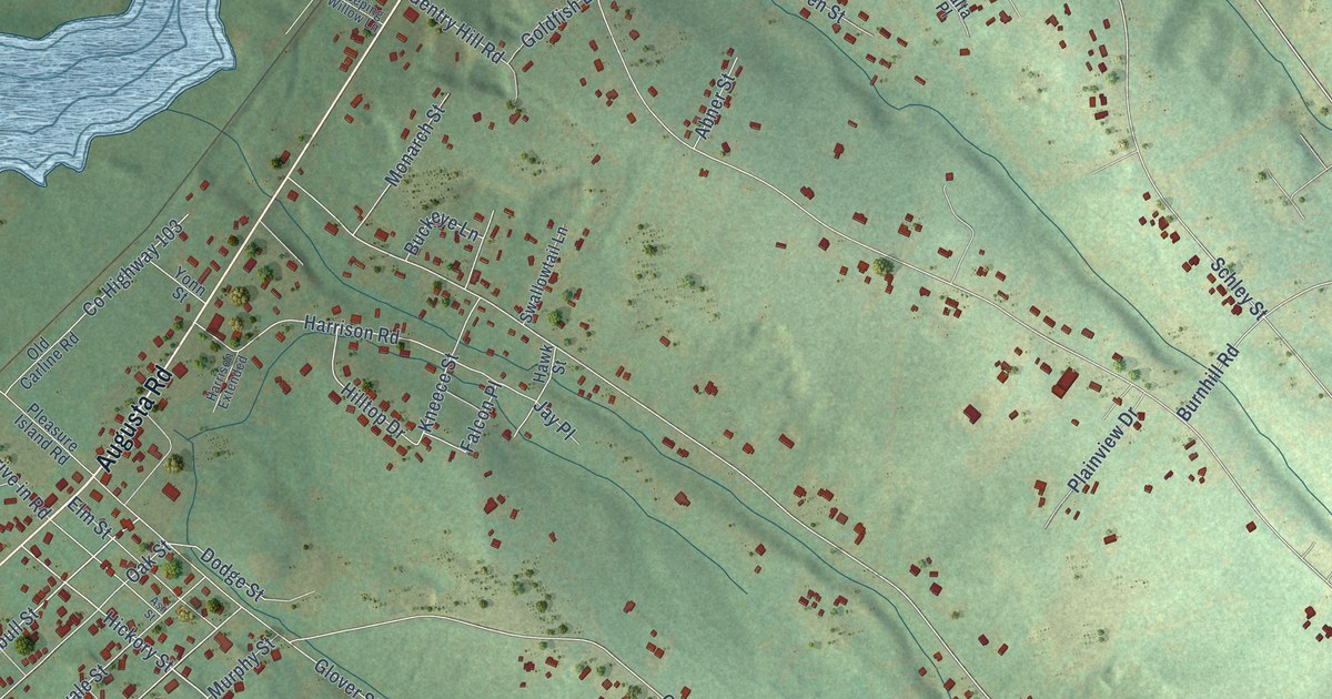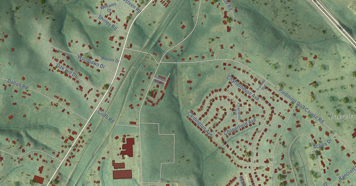
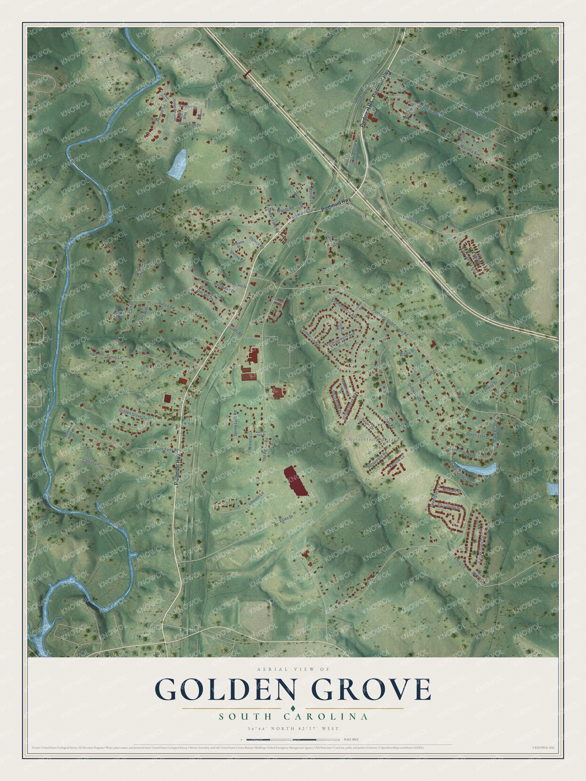
This beautifully detailed map of Golden Grove, South Carolina was created in 2026 using aerial imagery combined with modern topographical, census, street and landmark data. It's a modern aerial view of Golden Grove in Greenville County, South Carolina, that combines modern data with a vintage aesthetic. The roads feature printed names, and if you look closely you can find your exact house accurately shown in its correct location.
Explore an aerial view of Golden Grove, South Carolina
On this map you'll find Chesterfield Estates, Lakeview Golf Club, Piedmont Highway, Piedmont Road, Old Greenville Road, Moody Lane, Old Pelzer Road, Piedmont Golf Course Road, Furr Road, Emily Lane, Driftwood Drive, Bracken Road, and more. Each red shape is a building, so zoom in on the preview and look for yours.
Golden Grove is a community in Greenville County. The Census Bureau counted 3,002 people here in 2020. Golden Grove sits about 2 miles northeast of Piedmont, 5 miles south of Gantt and 5 miles southwest of Conestee. The map prints the town name in its title panel, with the coordinates below it.
Take a closer look at the Golden Grove map
Names on this map
These names are printed on this map.
Places: Chesterfield Estates and Lakeview Golf Club.
Streets and roads: Piedmont Highway, Piedmont Road, Old Greenville Road, Moody Lane, Old Pelzer Road, Piedmont Golf Course Road, Furr Road, Emily Lane, Driftwood Drive, Bracken Road, Marlena Avenue, Manchester Avenue.
More street names, A to Z
Action Drive, Ashmore Drive, Bancroft Drive, Buckeye Circle, Cain Drive, Cardington Avenue, Charlwood Avenue, Charterhouse Avenue, Cioffi Road, Collins Lane, Cooperfield Avenue, Cromwell Boulevard, D-113, Dalton Road, El Jema Forest Drive, Ells Country Ests, Estes Drive, Fairway Drive, Fogil Drive, Forever Lane, Freeman Lake Road, Golden Grove Circle, Green Leaf Drive, Guest Avenue, Heatheridge Lane, Hunters Creek Road, Jacqueline Road, Johnson Lane, Jordan Pond Drive, Kathys Way, Kernow Lane, Lake El-Jema Drive, Lake el Jema Drive, Landscape Lane, Laurel Trace Circle, Manhattan Boulevard, Maubry Street, Milady Street, Milldale Drive, Moody Road, Morton Drive, Mount Dorr Drive, Oak Hill Drive, Osteen Road, Picnic Alley, Poplarville Drive, Quiet Side Drive, Saddle Horn Lane, Saint Stephen Court, Sargent Drive, Shirley Road, South Forty Road, South Old Piedmont Highway, Spring Lake Road, Streamside Drive, Sunny Lane, Susan Drive, Sweetgrass Lane, Taylor Circle, Taylor Road, Tranquil Day Drive, West Park View Road, Williams Drive, Willow Grove Way, Wimbledon Road, Wisteria Lane, Woodlawn Drive.
See it on a wall
The Golden Grove map as a framed print. Swipe for more.


Created by KNOWOL in 2026. The buildings are small red shapes, the roads carry their printed names, and shaded relief shows the shape of the land. The title panel reads "AERIAL VIEW OF GOLDEN GROVE, SOUTH CAROLINA" with 34°44' NORTH 82°27' WEST.
It looks right in a kitchen, an office or a den, and it's a gift for anyone who grew up in Golden Grove or moved away. Open the preview and find your street. See sizes and frames for the Golden Grove map.