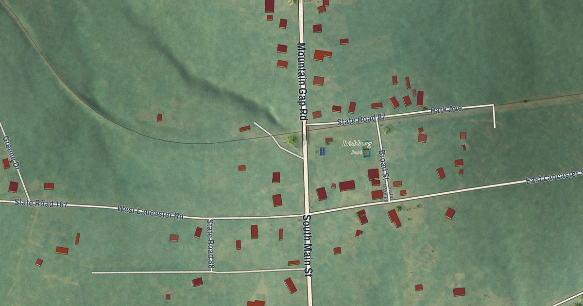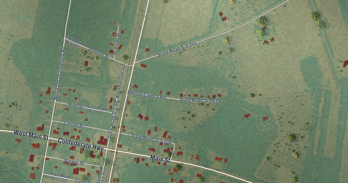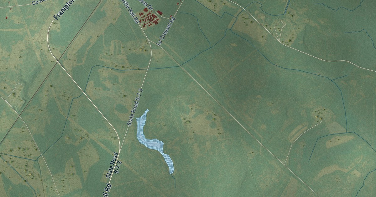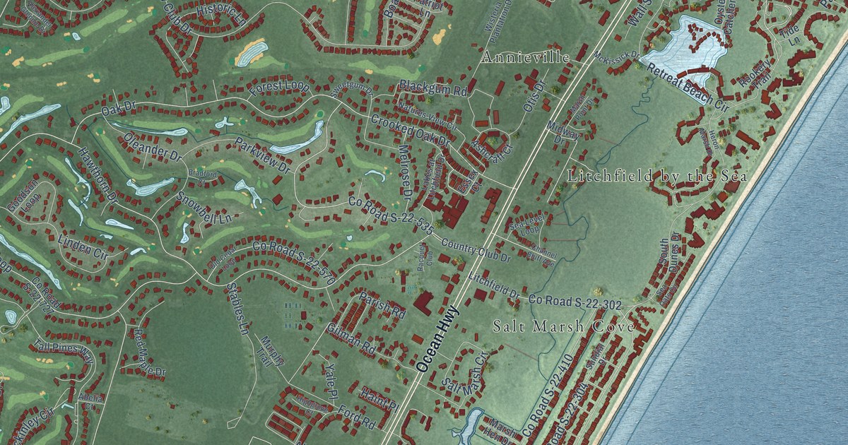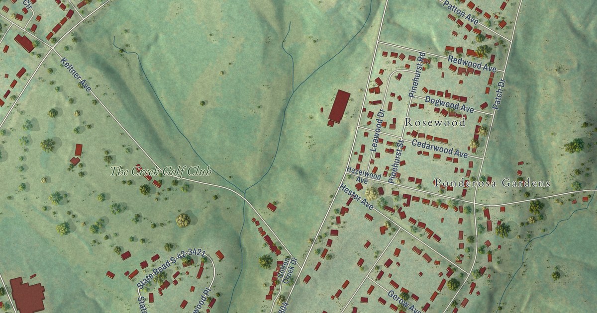
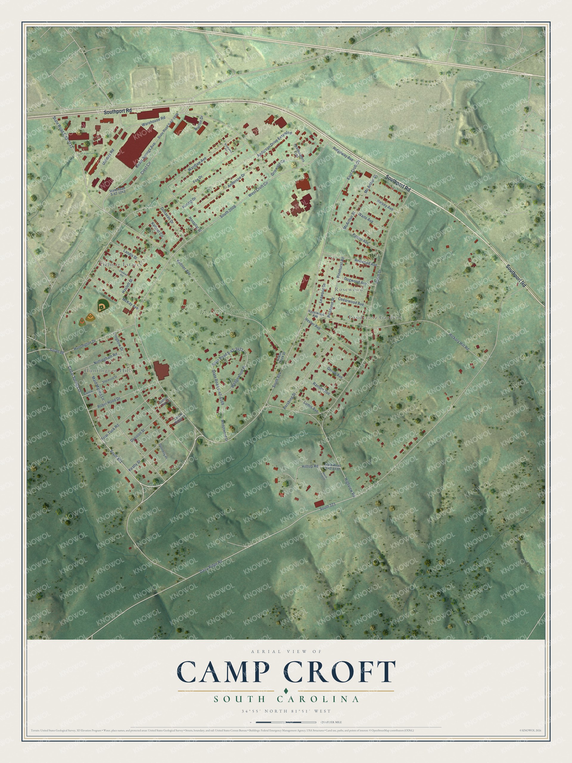
This beautifully detailed map of Camp Croft, South Carolina was created in 2026 using aerial imagery combined with modern topographical, census, street and landmark data. It's a modern aerial view of Camp Croft in Spartanburg County, South Carolina, that combines modern data with a vintage aesthetic. The roads feature printed names, and if you look closely you can find your exact house accurately shown in its correct location.
Explore an aerial view of Camp Croft, South Carolina
On this map you'll find Delmar Estates, Ponderosa Gardens, Huntington Hills, Rosewood, The Creek Golf Club, Southport Road, Cedar Springs Drive, South 851, Cedar Springs Avenue, State Road S-42-2711, South 321, Highview Road, and more. Each red shape is a building, so zoom in on the preview and look for yours.
Camp Croft is a community in Spartanburg County. The Census Bureau counted 2,110 people here in 2020. Camp Croft sits about 2 miles south of Ben Avon, 3 miles southwest of Glendale and 4 miles east of Arkwright. The map prints the town name in its title panel, with the coordinates below it.
Take a closer look at the Camp Croft map
Names on this map
These names are printed on this map.
Places: Delmar Estates, Ponderosa Gardens, Huntington Hills, Rosewood and The Creek Golf Club.
Streets and roads: Southport Road, Cedar Springs Drive, South 851, Cedar Springs Avenue, State Road S-42-2711, South 321, Highview Road, Dairy Ridge Road, East Croft Circle, South 2006, West Croft Circle, Keltner Avenue.
More street names, A to Z
Anderson Drive, Anderson Drive Extended, Beech Tree Court, Breakaway Avenue, Castle Place, Cedarwood Avenue, Condren Avenue, Cotton Creek Drive, Cotton Ridge Lane, Cotton Top Court, Crest Circle, Denison Street, Dogwood Avenue, Donavan Drive, Donnelly Place, Fox Drive, Friar Tuck Road, Gerow Avenue, Griswald Circle, Halsey Avenue, Haslett Street, Hazelwood Avenue, Headquarters Loop, Hester Avenue, Hickory Hill Road, Hilltop Road, Hospital Street, Huntington Drive, Keatly Street, Keltner Circle, Kunzig Drive, Landis Street, Leawood Drive, Longbow Drive, Lumis Avenue, Maid Marion Lane, Mc Arthur Street, McArthur Street, McKay Avenue, Norton Drive, Nottingham Road, Patch Drive, Patton Avenue, Pershing Street, Pinehurst Road, Pinehurst Street, Ranson Avenue, Redwood Avenue, Ridgeway Avenue, Robin Hood Drive, Sherwood Drive, South 88, South 804, State Road S-42-1036, State Road S-42-1243, State Road S-42-1330, State Road S-42-3421, State Road S-42-8169, Utilities Road, Waite Avenue, Wardlaw Avenue, Warehouse Road, Wedgewood Drive, Wedgewood Place.
See it on a wall
The Camp Croft map as a framed print. Swipe for more.


Created by KNOWOL in 2026. The buildings are small red shapes, the roads carry their printed names, and shaded relief shows the shape of the land. The title panel reads "AERIAL VIEW OF CAMP CROFT, SOUTH CAROLINA" with 34°55' NORTH 81°51' WEST.
Hang it in the hallway, the office or the cabin, or give it to someone who left Camp Croft and still calls it home. Open the preview and look for a street you know. See sizes and frames for the Camp Croft map.