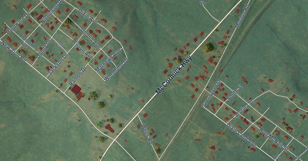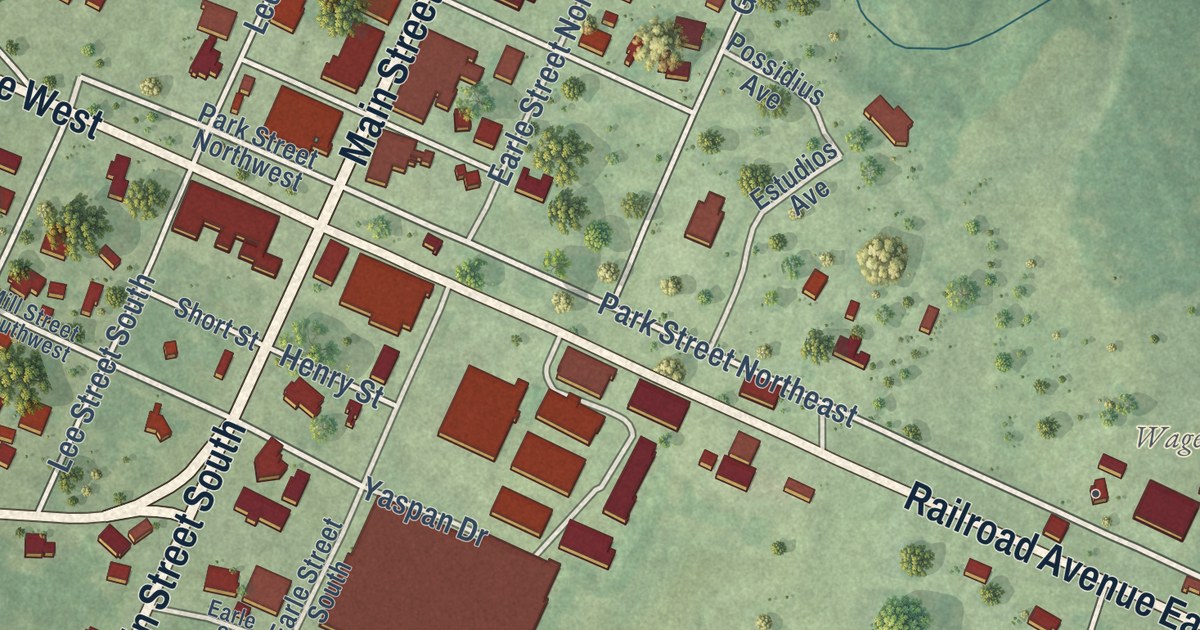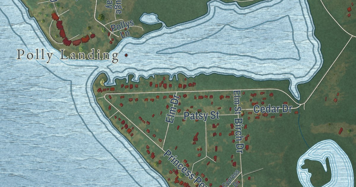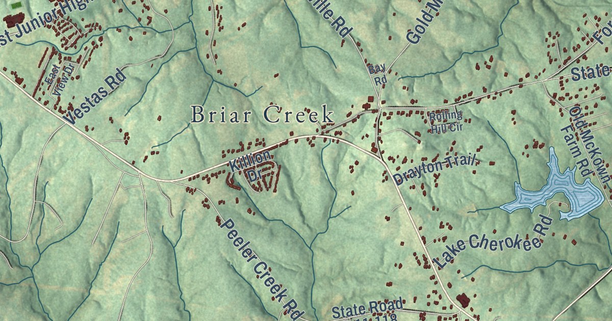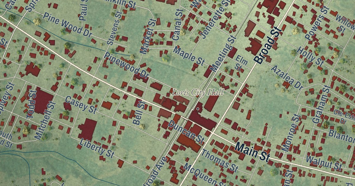
This beautifully detailed map of Loris, South Carolina was created in 2026 using aerial imagery combined with modern topographical, census, street and landmark data. It’s a one-of-a-kind view of Loris that combines accurate data with a vintage aesthetic. The map shows every building in its true location, many of the roads carry their names, and the shaded topographic relief shows the shape of the land.
Explore an aerial view of Loris, South Carolina
On the map you’ll find Heniford Field, Glenn, and East State Highway 9 Bus, along with Main Street, Broad Street, Spring Street, Cox Road, North Cox Road, Spivey Street, Lake Drive, Franklin Street, Walnut Street, and more. If you look closely you can even find your house accurately drawn in its correct location. Zoom in on the preview to look for yours.
Did you know this piece of Loris, South Carolina history?
From Scencyclopedia.org: "By 1903 thousands of acres of leaf were growing and tobacco markets were thriving in Conway and Loris."
Take a closer look at the Loris map
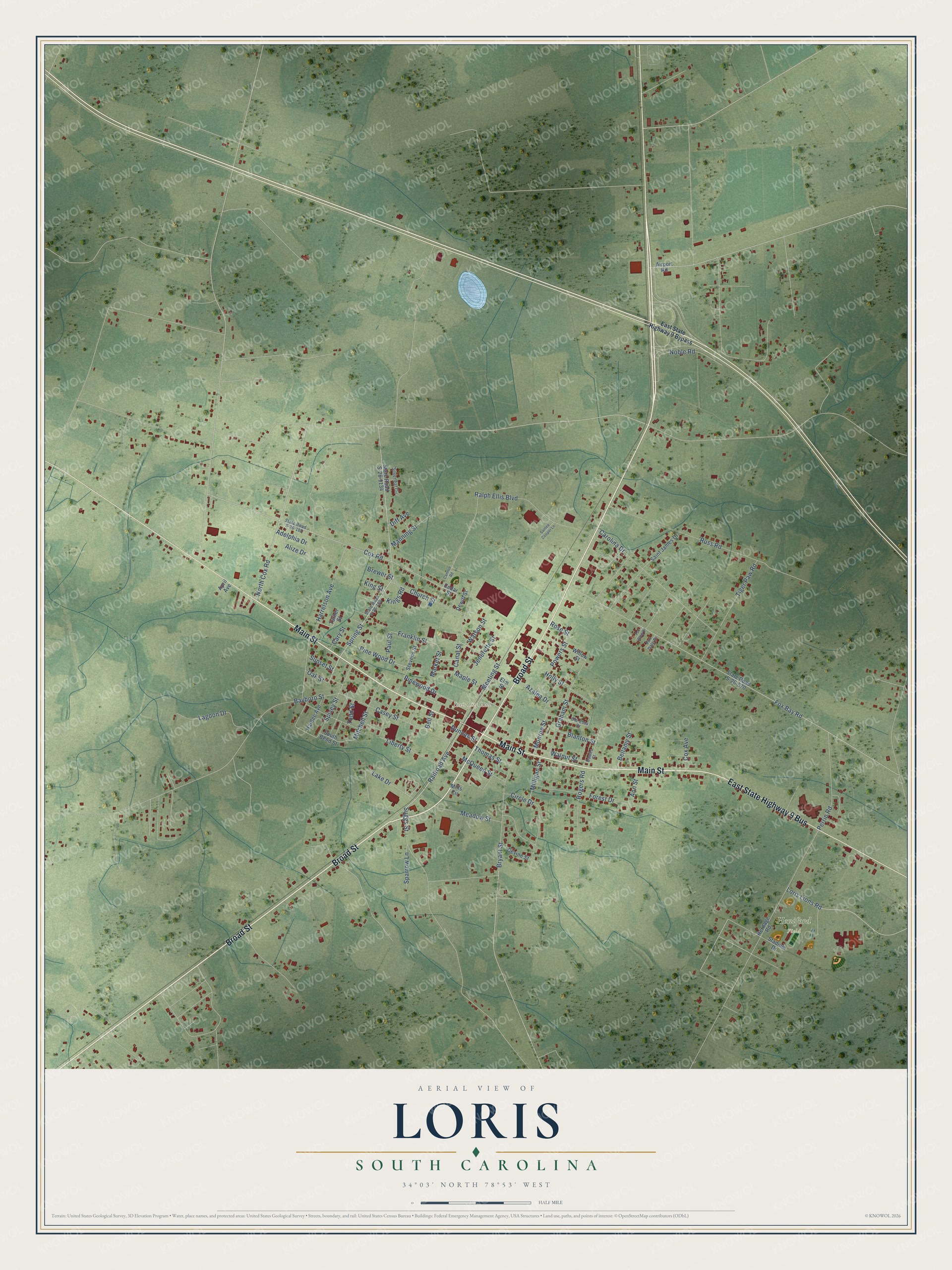
Street and place names on the Loris, South Carolina map
These names are printed on the map of Loris, South Carolina.
Places: Loris City Hall and Heniford Field.
Streets and roads: Main Street, Broad Street, East State Highway 9 Bus, North Cox Road, Spring Street, Cox Road, Lake Drive, Franklin Street, Walnut Street, Harrelson Avenue, Railroad Avenue, Liberty Street.
More street names, A to Z
Adelphia Drive, Airport Road, Alize Drive, Ann Street, April Avenue, Azalea Drive, Bayboro Street, Bellamy Street, Bell Street, Blanton Street, Brewer Street, Bryant Street, Canal Street, Cannon Road, Carolina Drive, Cary Street, Casey Street, Cedar Street, Church Street, Circle Drive, Cle-Esta Drive, Cox Avenue, Dawes Street, Devine Street, Dewitt Street, Diff Avenue, Duncan Street, East State Highway 9 Bypass, Elm Street, Forest Drive, Fox Bay Road, Fox Dale Drive, Fox Glen Drive, Graham Street, Hardee Avenue, Heritage Road, Holly Street, Jenerette Street, Kings Road, King Street, Lagoon Drive, Loris Lions Road, Manning Street, Maple Street, Market Street, McQueen Street, Meadow Street, Meeting Street, Milligan Street, Mills Circle, Mitchell Street, Monroe Street, Noble Road, Oak Street, Paul Street, Perrin Road, Pine Wood Drive, Pinewood Drive, Powers Street, Ralph Ellis Boulevard, Rogers Road, Rose Street, Russ Road, Saint James Drive, Santee Cooper Lane, Silverleaf Circle, South Bend Street, Sparrow Lane, Spivey Street, Stadium Drive, State Road S-26-180, State Road S-26-185, State Road S-26-570, State Road S-26-1134, Stevens Street, Suggs Street, Sunset Street, Thomas Street, Tiger Paw Road, Todd Street, Turner Street, Watson Street, Willow Street.
See the Loris, South Carolina map on a wall
The Loris map as an 18 x 24 inch print in a black frame.

This beautifully detailed map of Loris makes an attractive addition to your office, library, or den, and it can even be used to teach children the geography and history of the area. It also makes a great gift for anyone with Loris roots. When you’re done exploring, click here to get your copy of the Loris map.