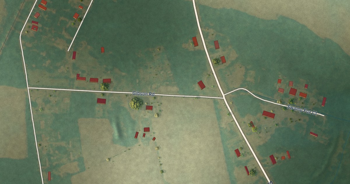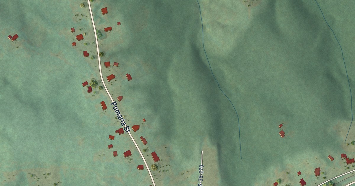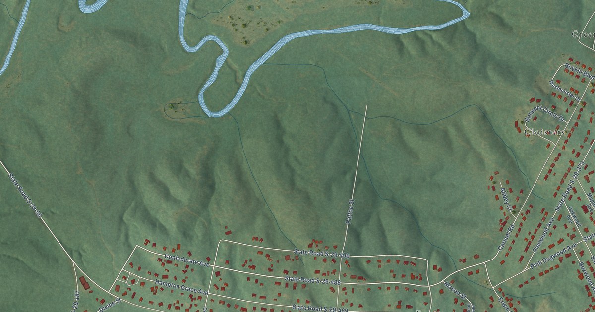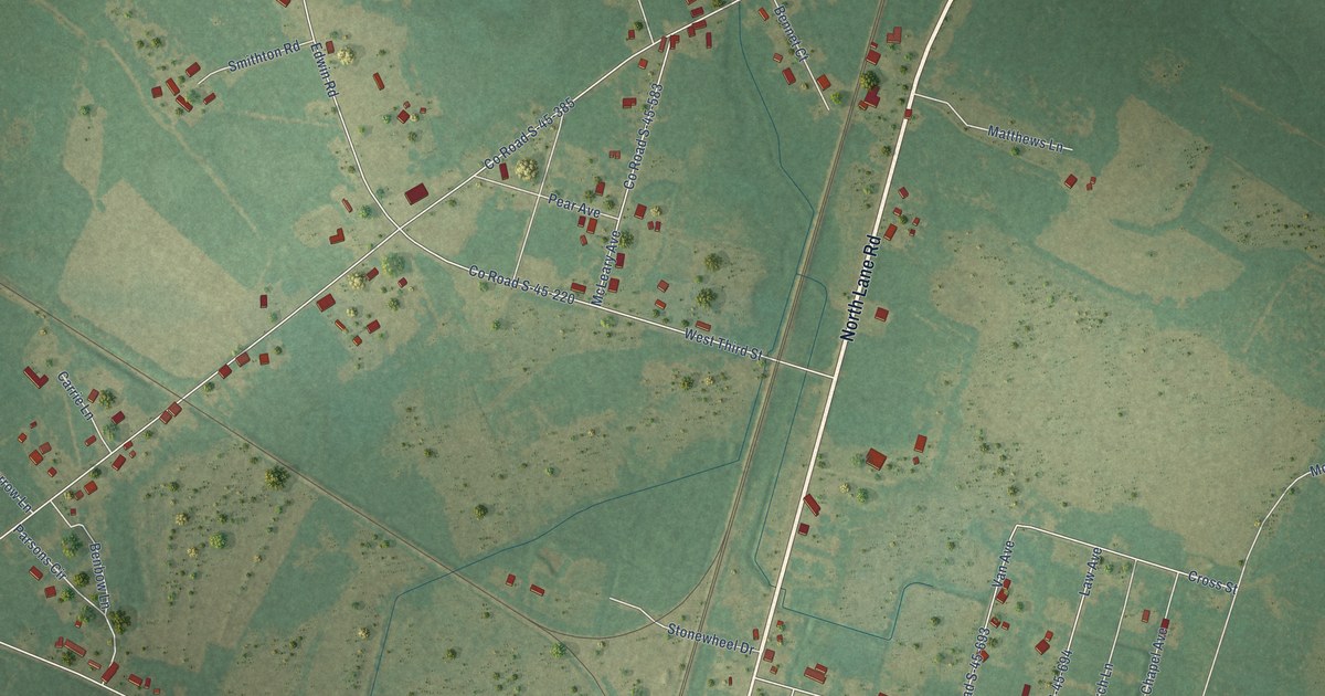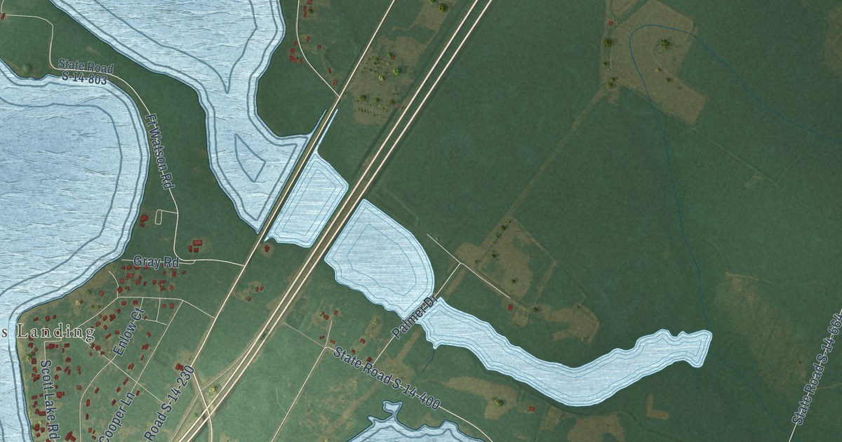
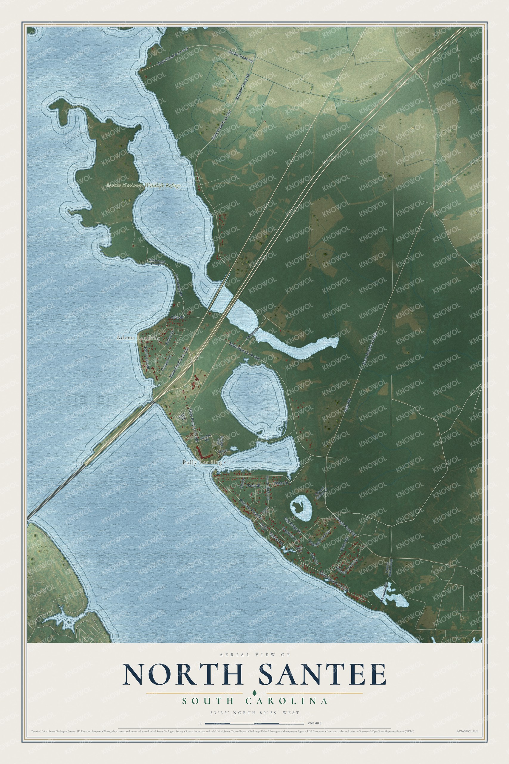
This beautifully detailed map of North Santee, South Carolina was created in 2026 using aerial imagery combined with modern topographical, census, street and landmark data. It's a modern aerial view of North Santee in Clarendon County, South Carolina, that combines modern data with a vintage aesthetic. The roads feature printed names, and if you look closely you can find your exact house accurately shown in its correct location.
Explore an aerial view of North Santee, South Carolina
On this map you'll find Polly Landing, Adams Landing, Santee National Wildlife Refuge, Gosling Pond Road, Sumter Road, Dingle Pond Road, Ft Watson Road, Birch Drive, Cedar Drive, State Road S-14-400, Princess Pond Road, State Road S-14-556, and more. Each red shape is a building, so zoom in on the preview and look for yours.
Every town has a first chapter, and North Santee is no exception. During the Revolution, the British built Fort Watson on top of the old Santee Indian Mound. Francis Marion and Henry Lee surrounded it, and since they had no cannon, Major Hezekiah Maham's men built a log tower taller than the fort in a single night. At dawn they fired down into the fort and took the post. It was the first fortified British post in South Carolina that Patriot forces took back after the British occupation. That's from the South Carolina Picture Project.
North Santee is a community in Clarendon County. The Census Bureau counted 749 people here in 2020.
Take a closer look at the North Santee map
Names on this map
These names are printed on this map.
Places: Polly Landing, Adams Landing and Santee National Wildlife Refuge.
Streets and roads: Gosling Pond Road, Sumter Road, Dingle Pond Road, Ft Watson Road, Birch Drive, Cedar Drive, State Road S-14-400, Princess Pond Road, State Road S-14-556, Nelsons Ferry Road, State Road S-14-257, Oaks Road.
More street names, A to Z
Cooper Lane, Cypress Drive, Dogwood Circle, Double Pond, East Road, Edward Nelson Lane, Elm Drive, Elm Street, Enlow Court, Francis Marion Boulevard, Gala Circle, Gordon Road, Gray Road, Haviland Road, Jacks Creek Road, Oak Circle, Oak Ridge Drive, Palmer Drive, Patsy Street, Pollys Lane, Princes Trace Circle, Refuge Way, Scott Lake Road, State Road S-14-230, State Road S-14-390, State Road S-14-419, State Road S-14-664, State Road S-14-803, Wells Road.
See it on a wall
The North Santee map as a framed print. Swipe for more.


Created by KNOWOL in 2026. The buildings are small red shapes, the roads carry their printed names, and shaded relief shows the shape of the land. The title panel reads "AERIAL VIEW OF NORTH SANTEE, SOUTH CAROLINA" with 33°32' NORTH 80°25' WEST.
Hang it in the hallway, the office or the cabin, or give it to someone who left North Santee and still calls it home. Open the preview and look for a street you know. See sizes and frames for the North Santee map.