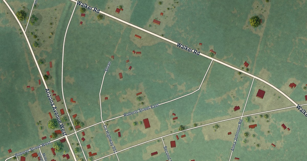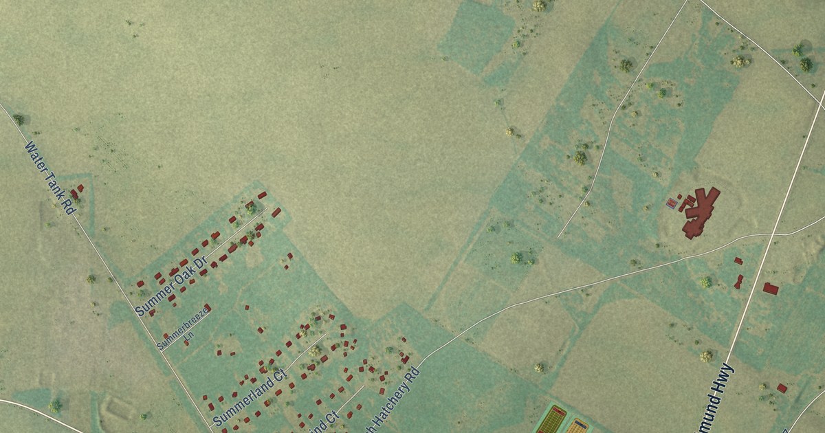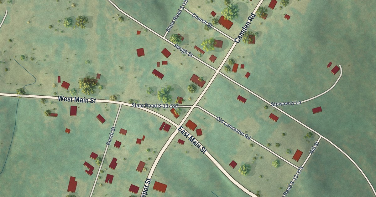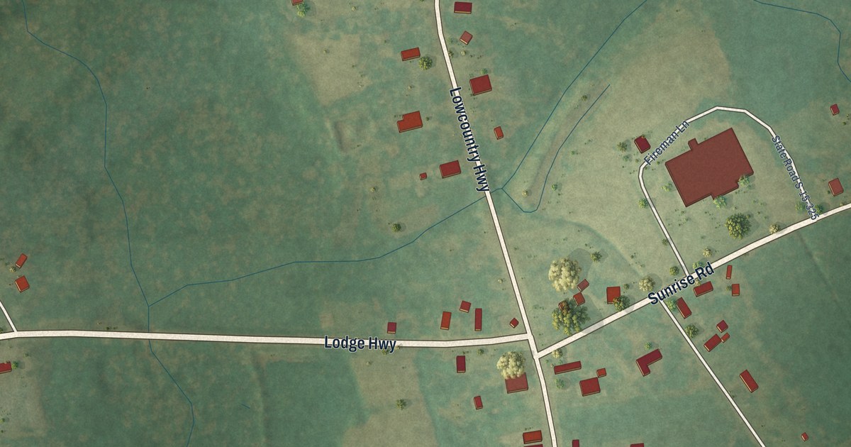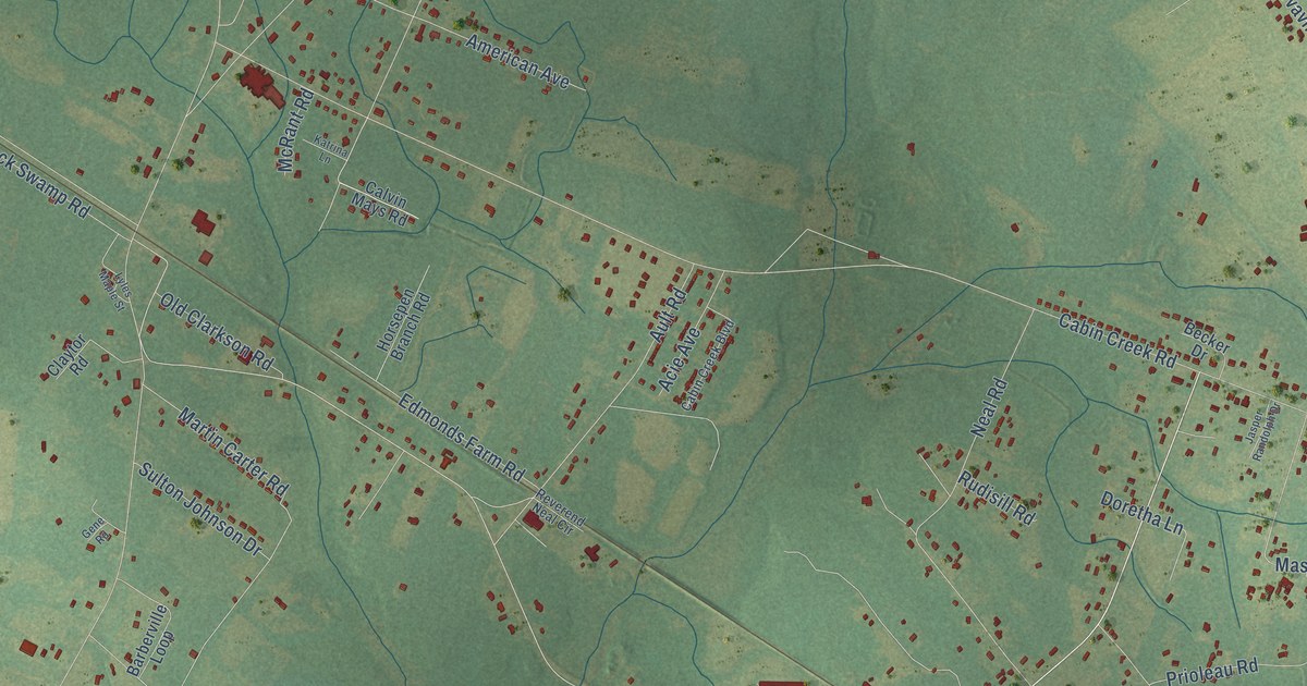
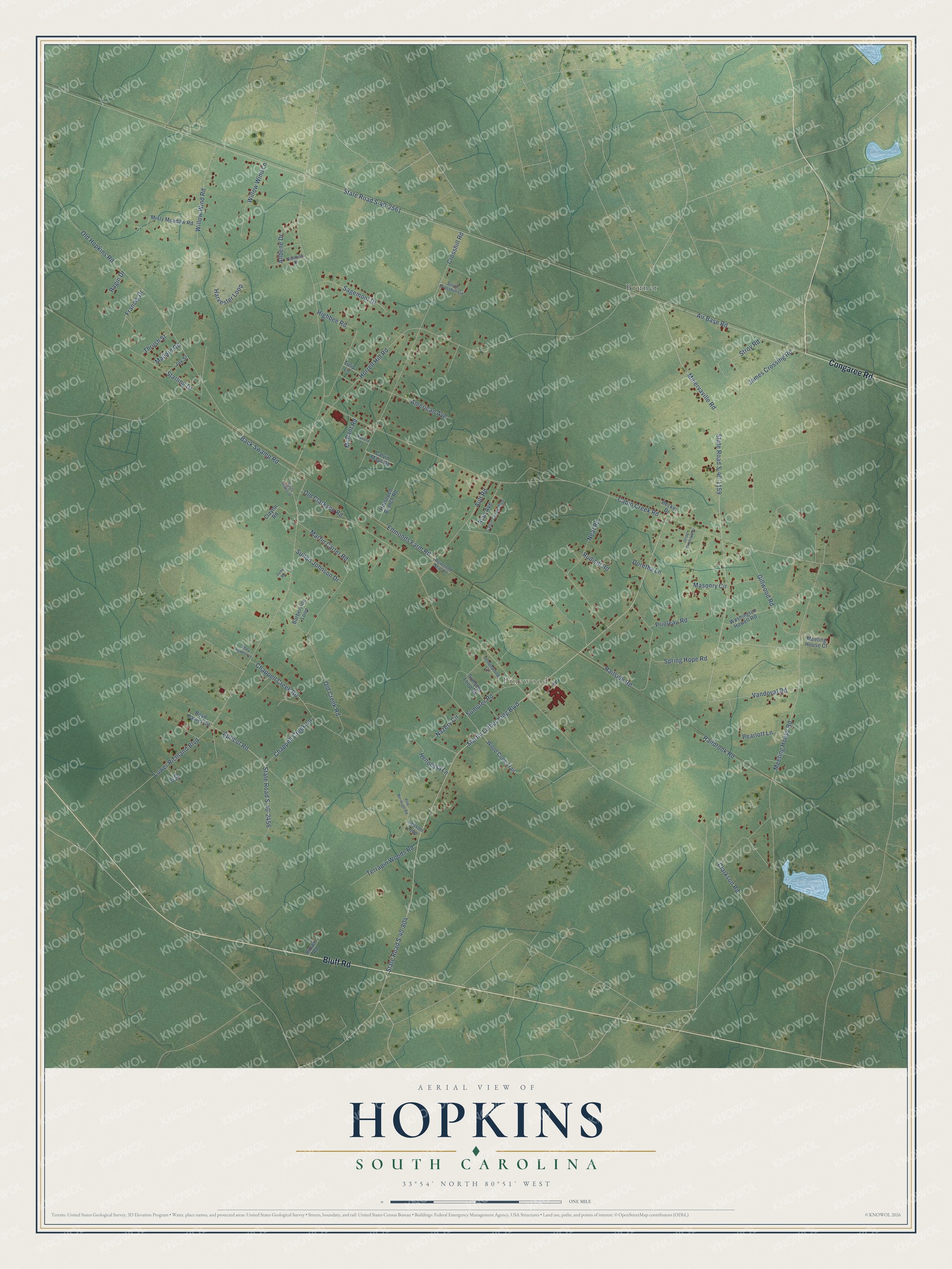
This beautifully detailed map of Hopkins, South Carolina was created in 2026 using aerial imagery combined with modern topographical, census, street and landmark data. It's a modern aerial view of Hopkins in Richland County, South Carolina, that combines modern data with a vintage aesthetic. The roads feature printed names, and if you look closely you can find your exact house accurately shown in its correct location.
Explore an aerial view of Hopkins, South Carolina
On this map you'll find Pinewood, Bruner, Bluff Road, Congaree Road, Martin Luther King Boulevard, State Road S-40-1159, State Road S-40-2456, Apricot Road, Clarkson Road, Lower Richland Boulevard, Air Base Road, State Road S-40-2561, and more. Each red shape is a building, so zoom in on the preview and look for yours.
Every town has a first chapter, and Hopkins is no exception. In 1872 Samuel Barber, a formerly enslaved man, bought 42 and a half acres of the Hopkins Tract, land the South Carolina Land Commission had bought so freedmen could own farms. In 1879 his wife Harriet, also formerly enslaved, made the final payment and received the title, and the land has stayed in the Barber family since. Their son John Barber farmed the land, taught public school for about 45 years and preached for more than 60. That's from the Historic Harriet Barber House.
Hopkins is a community in Richland County. The Census Bureau counted 2,514 people here in 2020.
Take a closer look at the Hopkins map
Names on this map
These names are printed on this map.
Places: Pinewood and Bruner.
Streets and roads: Bluff Road, Congaree Road, Martin Luther King Boulevard, State Road S-40-1159, State Road S-40-2456, Apricot Road, Clarkson Road, Lower Richland Boulevard, Air Base Road, State Road S-40-2561, Cabin Creek Road, State Road S-40-804.
More street names, A to Z
Acie Avenue, Allbene Drive, American Avenue, Ault Road, Back Swamp Road, Barberville Loop, Becker Drive, Boyd Daniel Circle, Brown Road, Cabin Creek Boulevard, Calvin Mays Road, Chappell Creek Lane, Chappell Creek Road, Claytor Road, Crosshill Road, Doretha Lane, Edmonds Farm Road, Elj Court, Francis Drive, Gene Road, Gillwood Road, Harvester Loop, Hennessy Lane, Highbee Road, Horrell Hill Road, Horsepen Branch Road, James Crossing Road, Jasper Randolph Drive, Jay Street, Katrina Lane, Ladson Loop, Lemonwood Circle, Lyles Maple Street, Mallard Road, Martin Carter Road, Mary Newton Lane, Masonry Circle, McRant Road, Meeting House Court, Meeting House Road, Minervaville Road, Misty Meadow Road, Nazery Circle, Neal Road, Old Clarkson Road, Old Creek Road, Old Hopkins Road, Pearlott Lane, Pine Borrough Road, Prioleau Road, Ragin Drive, Railbrook Road, Railside Road, Reverend Neal Circle, Rudisill Road, Sagemont Drive, Somona Drive, South Crosshill Circle, Spring Hope Road, Starling Drive, Stroy Road, Sulton Johnson Drive, Sumpter Loop Road, Sumpter Road, Terrapin Woods Road, Thrush Street, Tulip Lane, Vandoval Road, Washington Howell Road, Willow Wind Lane, Willow Wind Road, Wood Cone Trail.
See it on a wall
The Hopkins map as a framed print. Swipe for more.


Created by KNOWOL in 2026. The buildings are small red shapes, the roads carry their printed names, and shaded relief shows the shape of the land. The title panel reads "AERIAL VIEW OF HOPKINS, SOUTH CAROLINA" with 33°54' NORTH 80°51' WEST.
Hang it in the hallway, the office or the cabin, or give it to someone who left Hopkins and still calls it home. Open the preview and look for a street you know. See sizes and frames for the Hopkins map.