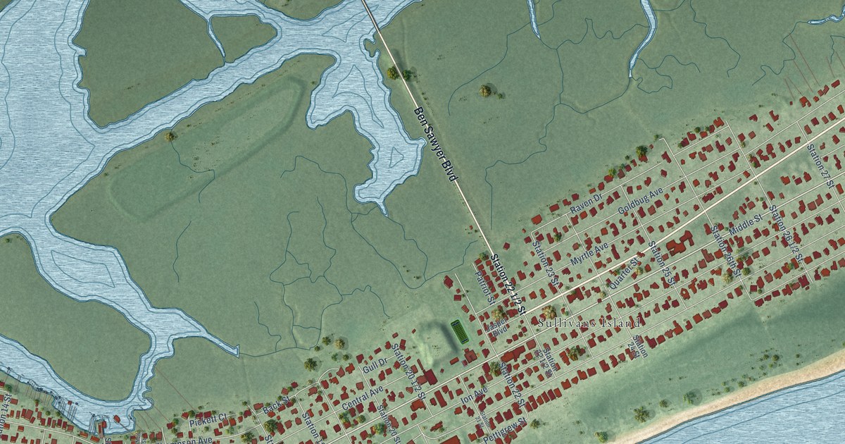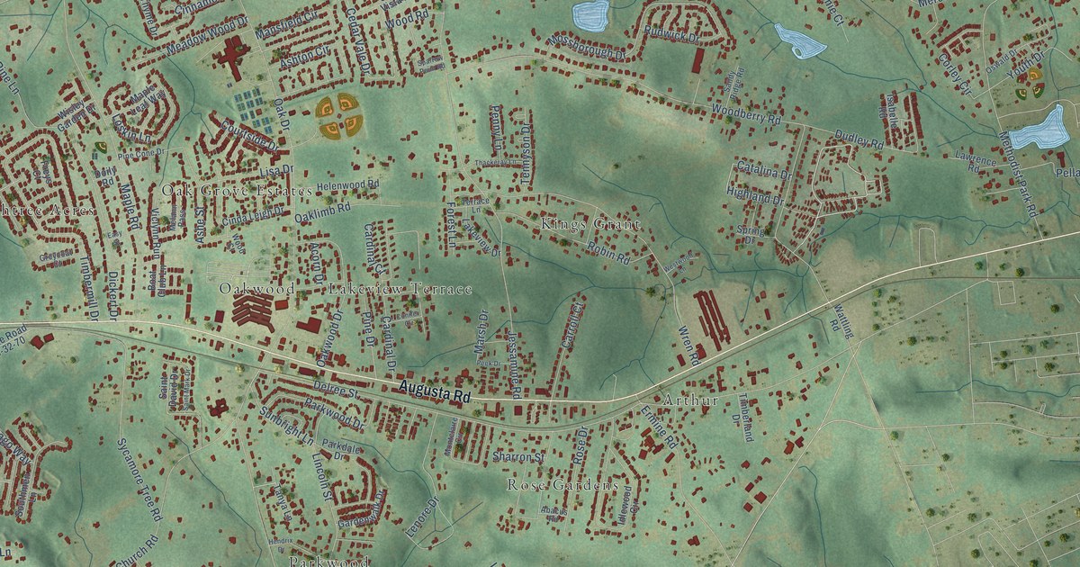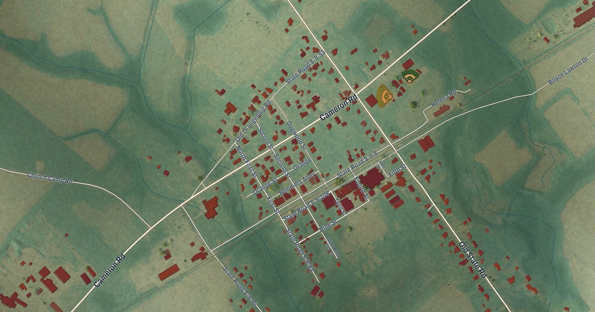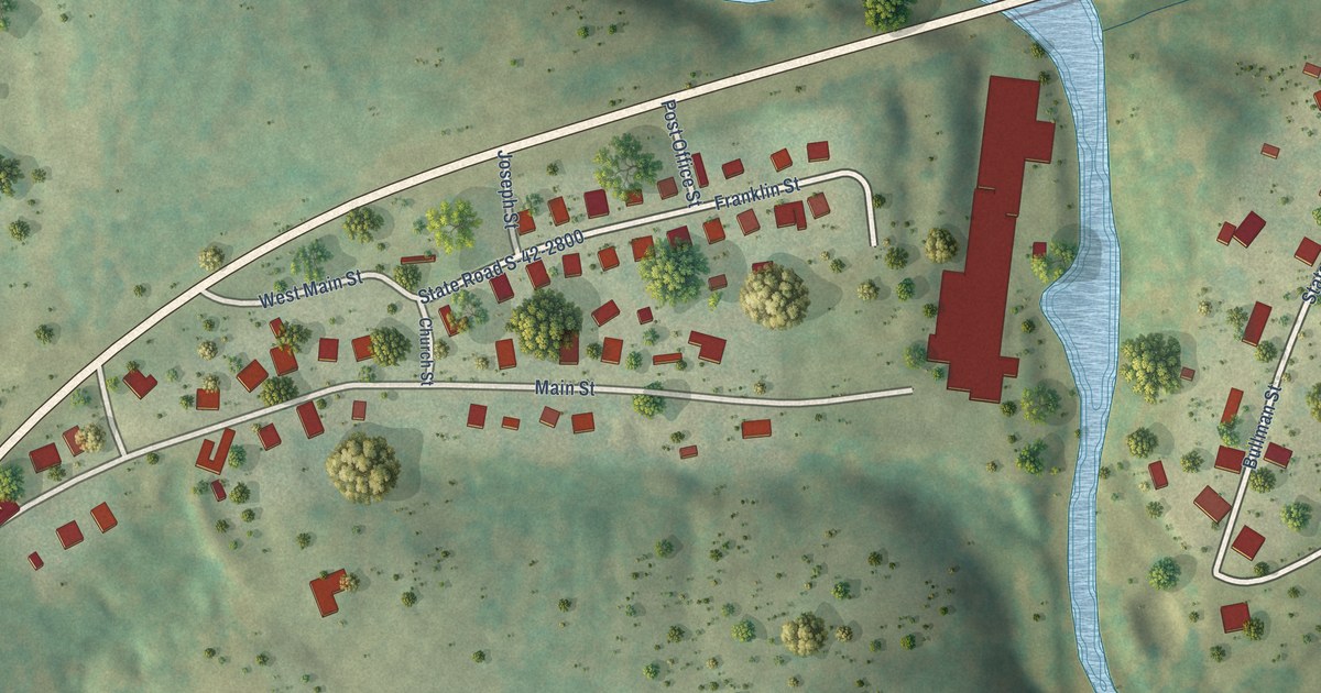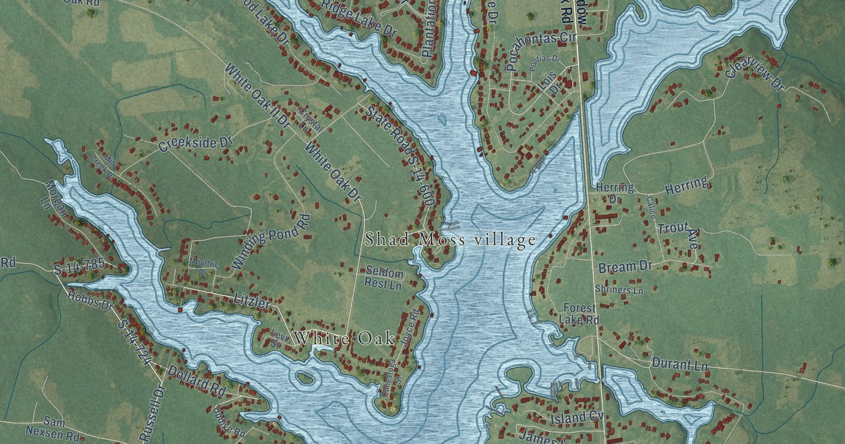
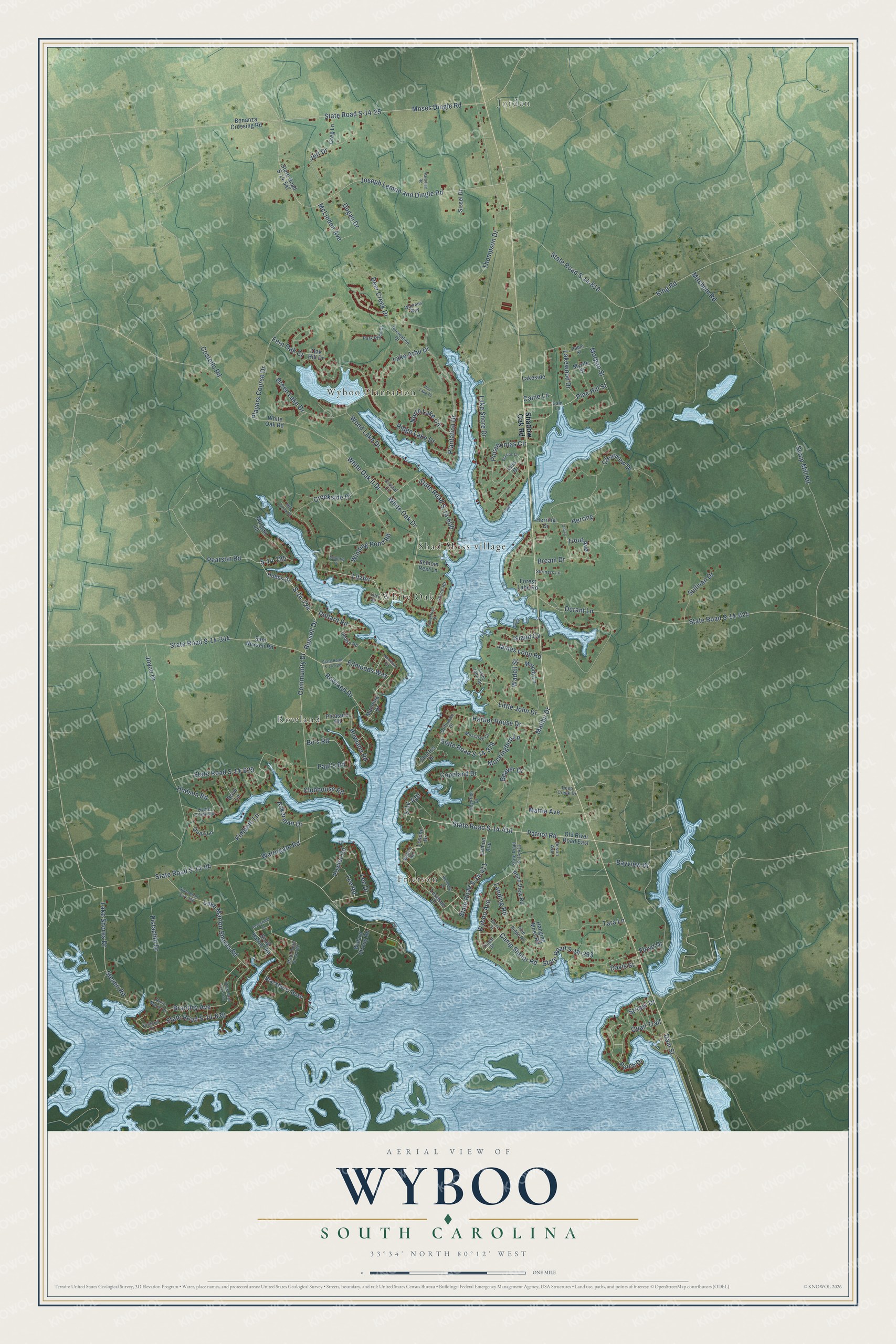
This beautifully detailed map of Wyboo, South Carolina was created in 2026 using aerial imagery combined with modern topographical, census, street and landmark data. It's a modern aerial view of Wyboo in Clarendon County, South Carolina, that combines modern data with a vintage aesthetic. The roads feature printed names, and if you look closely you can find your exact house accurately shown in its correct location.
Explore an aerial view of Wyboo, South Carolina
On this map you'll find Jordan, Frierson, Wyboo Plantation, Rowland, White Oak, Shad Moss village, Lakewood Drive, Caine Lane, Pocahontas Circle, Russell Drive, Patriot Road, Pine Hill Street, and more. Each red shape is a building, so zoom in on the preview and look for yours.
Wyboo has a story worth telling. On March 6, 1781, General Francis Marion, the Swamp Fox, set an ambush at Wyboo Swamp for British troops under Lieutenant Colonel John Watson. The two sides charged and countercharged along the causeway across the swamp, and the battle site now lies under the waters of Lake Marion. When Marion ordered a retreat, Private Gavin James was the last Patriot to pull out, and for a moment he held the causeway alone. That's from the American Battlefield Trust.
Wyboo is a community in Clarendon County. The Census Bureau counted 3,661 people here in 2020.
Take a closer look at the Wyboo map
Names on this map
These names are printed on this map.
Places: Jordan, Frierson, Wyboo Plantation, Rowland, White Oak and Shad Moss village.
Streets and roads: Lakewood Drive, Caine Lane, Pocahontas Circle, Russell Drive, Patriot Road, Pine Hill Street, Edmonds Way, S-14-724, State Road S-14-411, State Road S-14-410, Litzler, S-14-785.
More street names, A to Z
Ackerman Drive, Bayview Drive, Beaver Drive, Blackberry Bush, Bo's Road, Bonanza Crossing Road, Brantley Avenue, Brassfield Drive, Bream Drive, Bruce Street, Cain Lane, Calico, Camp Shelor Road, Charles Drive, Clearview Drive, Clubhouse Road, Community Drive, Conestoga Street, Copeland Drive, Costello Road, Creekside Drive, Crystal Lane, Dam Street, Davis Street, Deep Creek Drive, Deer Creek Drive, Destin Avenue, Dollard Road, Dove Lane, Driftwood Drive, Dugan Drive, Durant Lane, Fern Oak Court, Floyd Drive, Forest Lake Road, Fowler Road, Green Lake Drive, Greg Lane, Hanging Moss Road, Harbor House Drive, Herring, Herring Drive, Hobbs Drive, Holland Drive, Huber Street, Hudson Road, Island Cv, James Loop Road, Jeff Drive, Joseph Lemon and Dingle Road, Joyce Drive, Joyce Road, Kimbeth Lane, King Road, Lake Arbu Drive, Lake Marion Shores Road, Lake Shore Drive, Lake Shores Drive, Lakeside, Landing Road, Lee Drive, Lee Road, Lemon Avenue, Lesene Drive, Lesesne Drive, Levi Street, Little John Drive, Little John Road, Lizzie Creek Road, Lois Drive, Malibu Drive, Manning Drive, Mattie Avenue, McLinden Avenue, Melody Lane, Mill Creek Drive, Mitchum Road, Mockingbird Lane, Morgan Lane, Morgan Street, Moses Dingle Road, Mosstree Court, Moultrie Drive, Myrtle Street, Newman Circle, North Lake Circle, Oak Hill Drive, Old River Road East, Paradise Road, Park Place Drive, Paul's Road, Pearson Road, Perch Drive, Pine Lake Court, Pine Ridge Road, Pistachio Drive, Plantation Drive, Players Course Drive, Pleasure Road, Pond View Road, Pontiac Drive, Quail Lane, Quail Trail, Recreation Drive, Richburg Drive, Ridge Lake Drive, Rockfish Drive, Rose Marie Drive, Rowland Drive, Rowland Road, S-14-410, Sam Nexsen Road, Seldom Rest Lane, Shadow Oak Road, Shriners Lane, Sissel Drive, Snug Harbor Road, State Road S-14-25, State Road S-14-64, State Road S-14-293, State Road S-14-344, State Road S-14-378, State Road S-14-396, State Road S-14-412, State Road S-14-547, State Road S-14-598, State Road S-14-600, State Road S-14-624, State Road S-14-629, State Road S-14-636, State Road S-14-658, State Road S-14-782, State Road S-14-810, Steven Road, Striper Drive, Sullivan Drive, Syrup Mill Road, Tara Lane, Thompson Drive, Tindal Street, Trout Avenue, Updike Road, Wadell Street, Warrens Way, Watergate Road, White Oak Drive, White Oak II Drive, White Oak Road, Willard Strong Road, Winding Pond Road, Wood Lake Drive, Wyboo Avenue, Wyboo Road.
See it on a wall
The Wyboo map as a framed print. Swipe for more.


Created by KNOWOL in 2026. The buildings are small red shapes, the roads carry their printed names, and shaded relief shows the shape of the land. The title panel reads "AERIAL VIEW OF WYBOO, SOUTH CAROLINA" with 33°34' NORTH 80°12' WEST.
It looks right in a kitchen, an office or a den, and it's a gift for anyone who grew up in Wyboo or moved away. Open the preview and find your street. See sizes and frames for the Wyboo map.