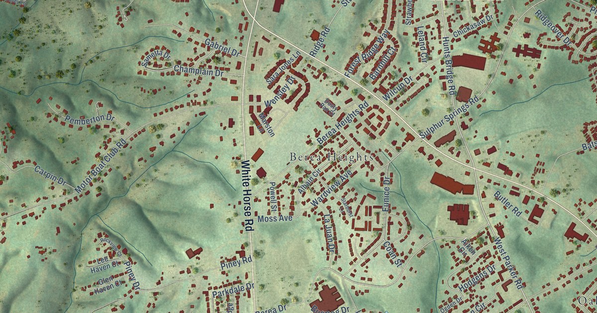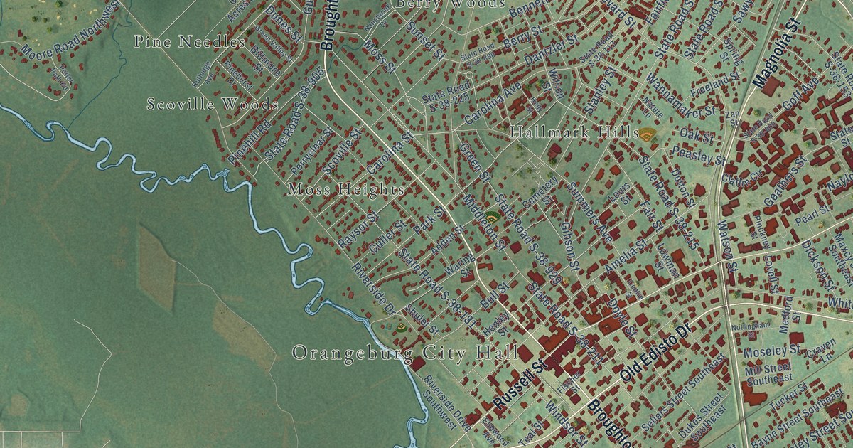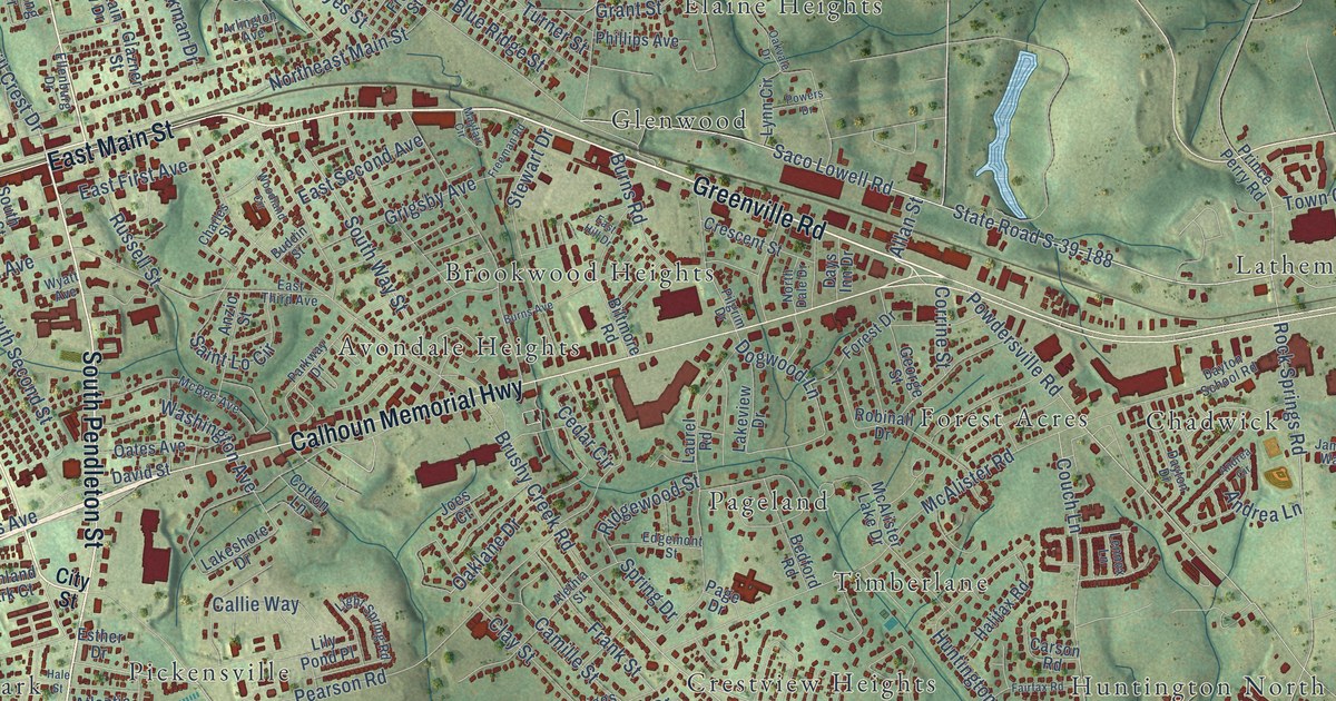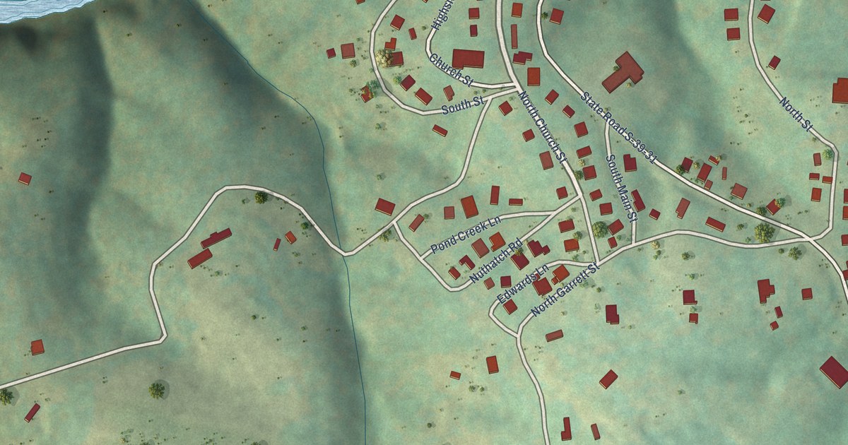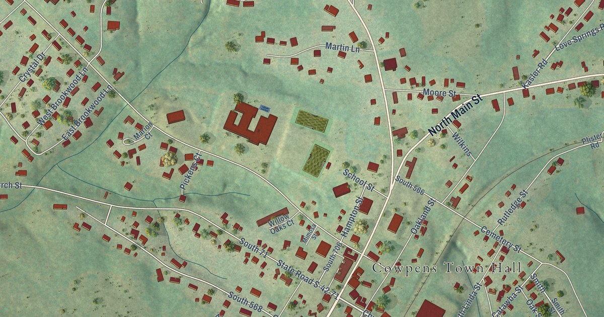
This beautifully detailed map of Cowpens, South Carolina was created in 2026 using aerial imagery combined with modern topographical, census, street and landmark data. It’s a one-of-a-kind view of Cowpens that combines accurate data with a vintage aesthetic. The map shows every building in its true location, many of the roads carry their names, and the shaded topographic relief shows the shape of the land.
Explore an aerial view of Cowpens, South Carolina
On the map you’ll find Cowpens Town Hall, Gordon Henry Park, South 45, and South 71, along with South Main Street, North Main Street, Battleground Road, Santee Street, Church Street, Old Pacolet Road, South Linda Street, Linda Street, and more. If you look closely you can even find your house accurately drawn in its correct location. Zoom in on the preview to look for yours.
Did you know this piece of Cowpens, South Carolina history?
From Scencyclopedia.org: "Still more important was the Battle of Cowpens in January 1781, where American forces defeated an army of British regulars and altered the course of the war in the South."
Take a closer look at the Cowpens map
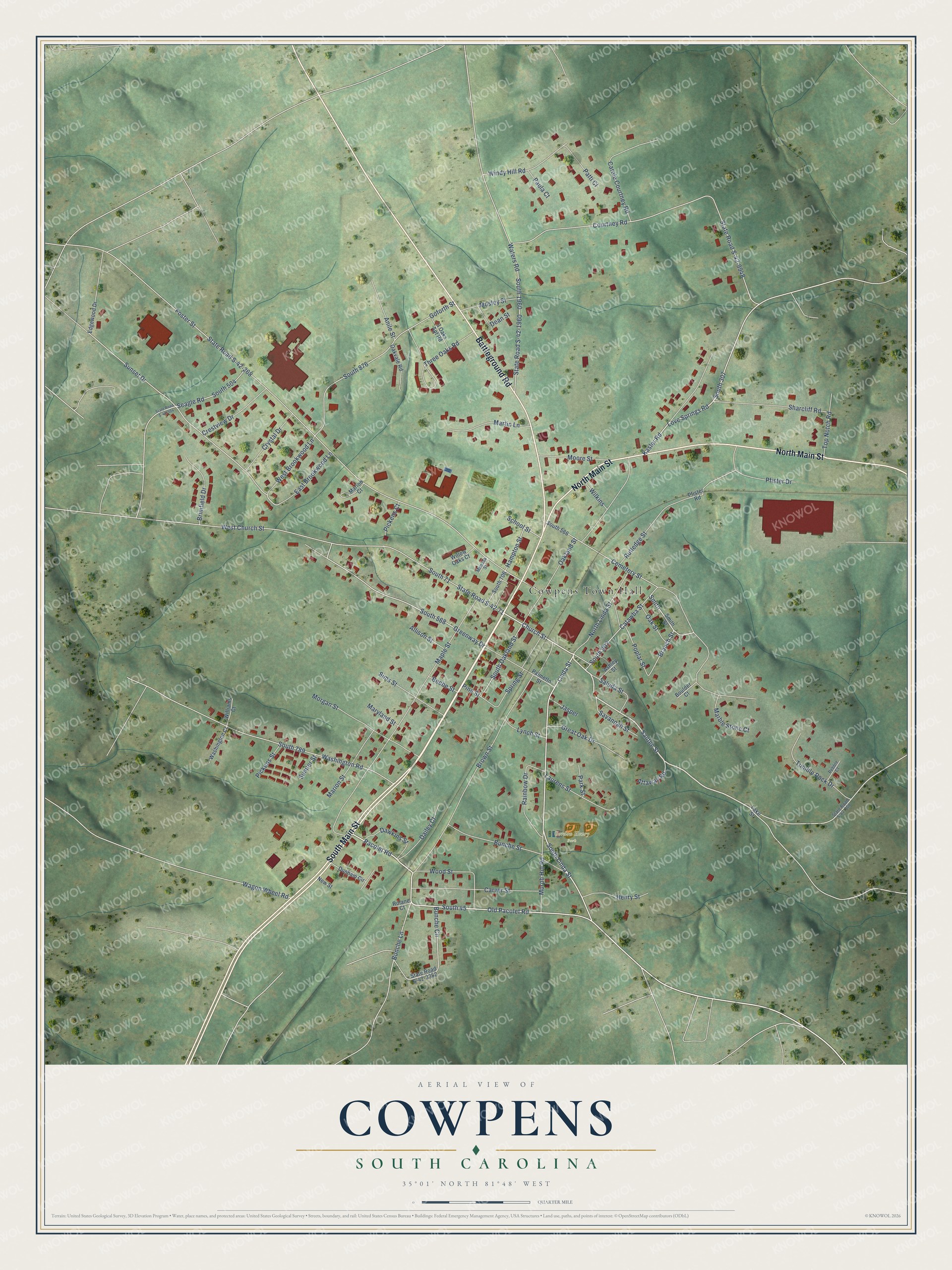
Street and place names on the Cowpens, South Carolina map
These names are printed on the map of Cowpens, South Carolina.
Places: Cowpens Town Hall and Gordon Henry Park.
Streets and roads: South Main Street, North Main Street, Battleground Road, Santee Street, Church Street, Old Pacolet Road, South Linda Street, South 45, South 71, Linda Street, Love Springs Road, South Oakland Street.
More street names, A to Z
3 Oaks Apt Road, Allison Street, Anile Street, Ashley Street, Attaway Road, Beebe Street, Boulder Court, Branch Street, Brimfield Drive, Brown Street, Bunche Circle, Bunche Lane, Bunche Street, Carole Courtney Road, Carver Street, Catawba Street, Cemetery Street, Courtney Road, Crestview Drive, Crystal Drive, Dailey Court, Dawkins Street, Dean Street, Dunham Circle, East Brookwood Lane, Edgewood Drive, Foster Street, Goforth Street, Great Oak Drive, Greenway Drive, Hampton Street, Henry Street, Jasper, Kasler Road, Lake Street, Laurens Street, Lynch Street, Maple Street, Marble Stone Court, Marion Court, Marion Street, Martin Lane, Maryland Street, Mimosa Street, Moore Street, Morgan Street, Mosley Street, Murph Hill Road, New Street, North Linda Street, Oakland Street, Oak Street, Oakvale Road, Pacolet Road, Palmetto Street, Park Street, Patti Court, Paula Court, Pebble Court, Pfister Drive, Pfister Road, Pickens Court, Pickens Street, Pine Street, Poplar Street, Rainbow Drive, Rolane Court, Rutledge Street, Saluda Street, Savannah Street, School Street, Seagle Road, Sharcliff Road, Sims Street, Smith, Smith Street, South 307, South 504, South 566, South 568, South 706, South 789, South 876, South 903, South 1960, Spring Street, State Road S-42-71, State Road S-42-268, State Road S-42-308, State Road S-42-504, State Road S-42-1960, State Road S-42-3352, State Road S-42-9948, Sumter Street, Sunset Drive, Three Oaks Road, Top Notch Road, Tumble Rock Drive, Wagon Wheel Road, Washington Court, Washington Road, Waters Road, West Brookwood Lane, West Church Street, Wilkins, Williams Court, Willow Oaks Court, Windy Hill Road, Wood Street.
See the Cowpens, South Carolina map on a wall
The Cowpens map as an 18 x 24 inch print in a black frame.

This beautifully detailed map of Cowpens makes an attractive addition to your office, library, or den, and it can even be used to teach children the geography and history of the area. It also makes a great gift for anyone with Cowpens roots. When you’re done exploring, click here to get your copy of the Cowpens map.