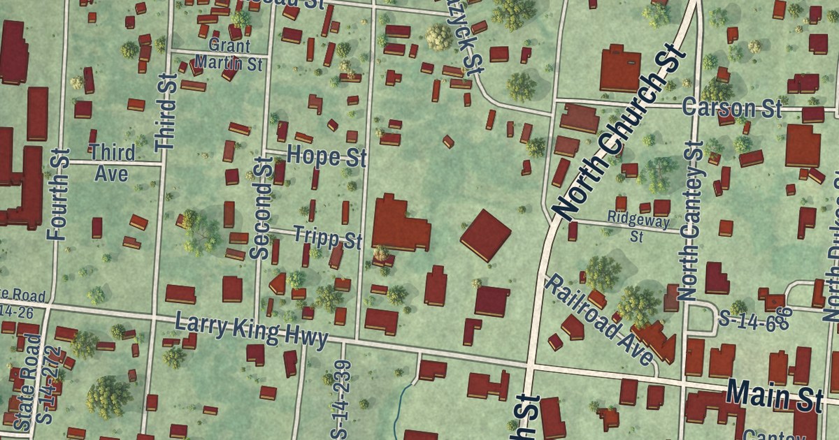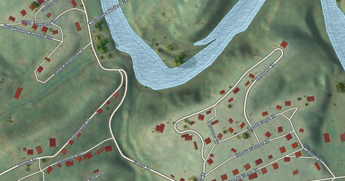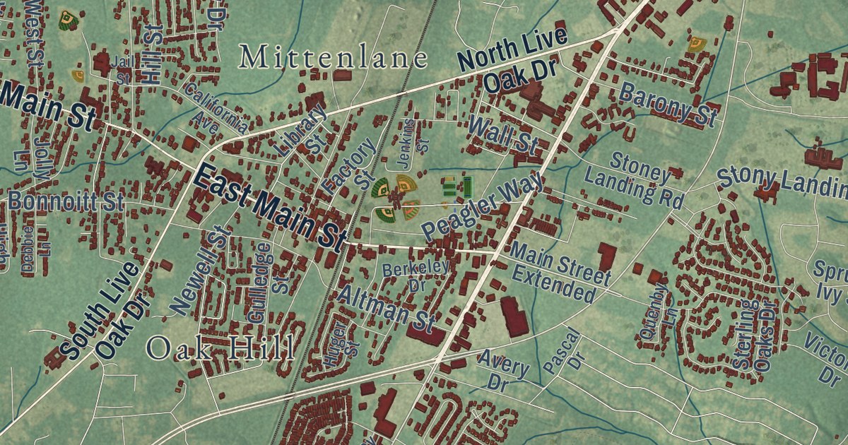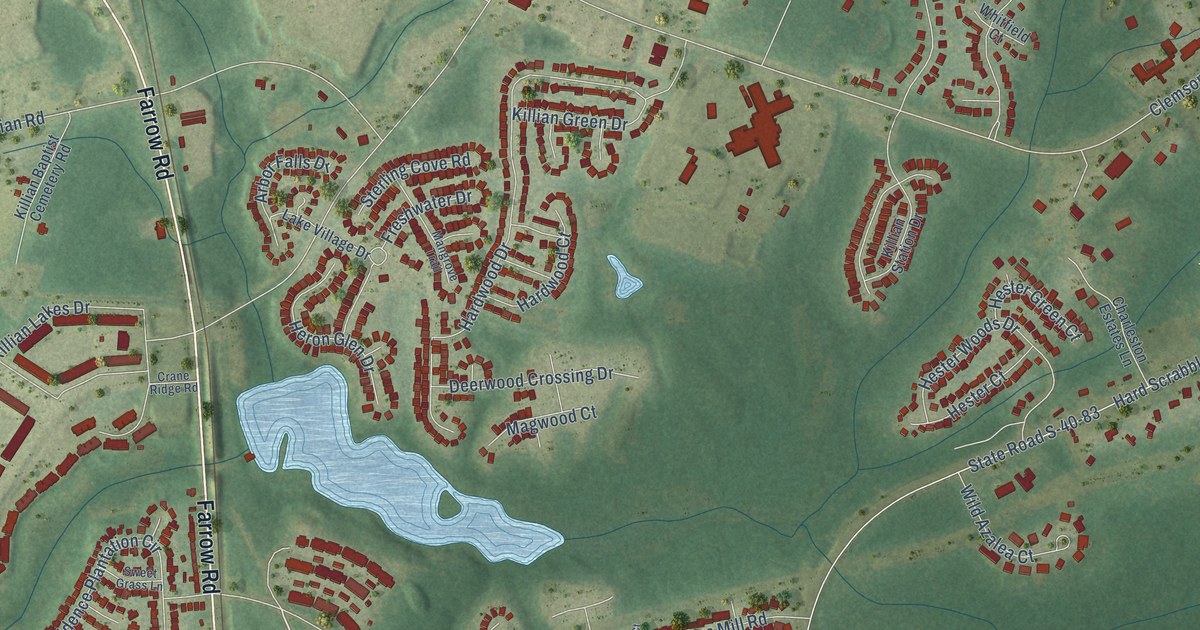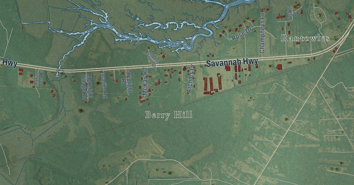
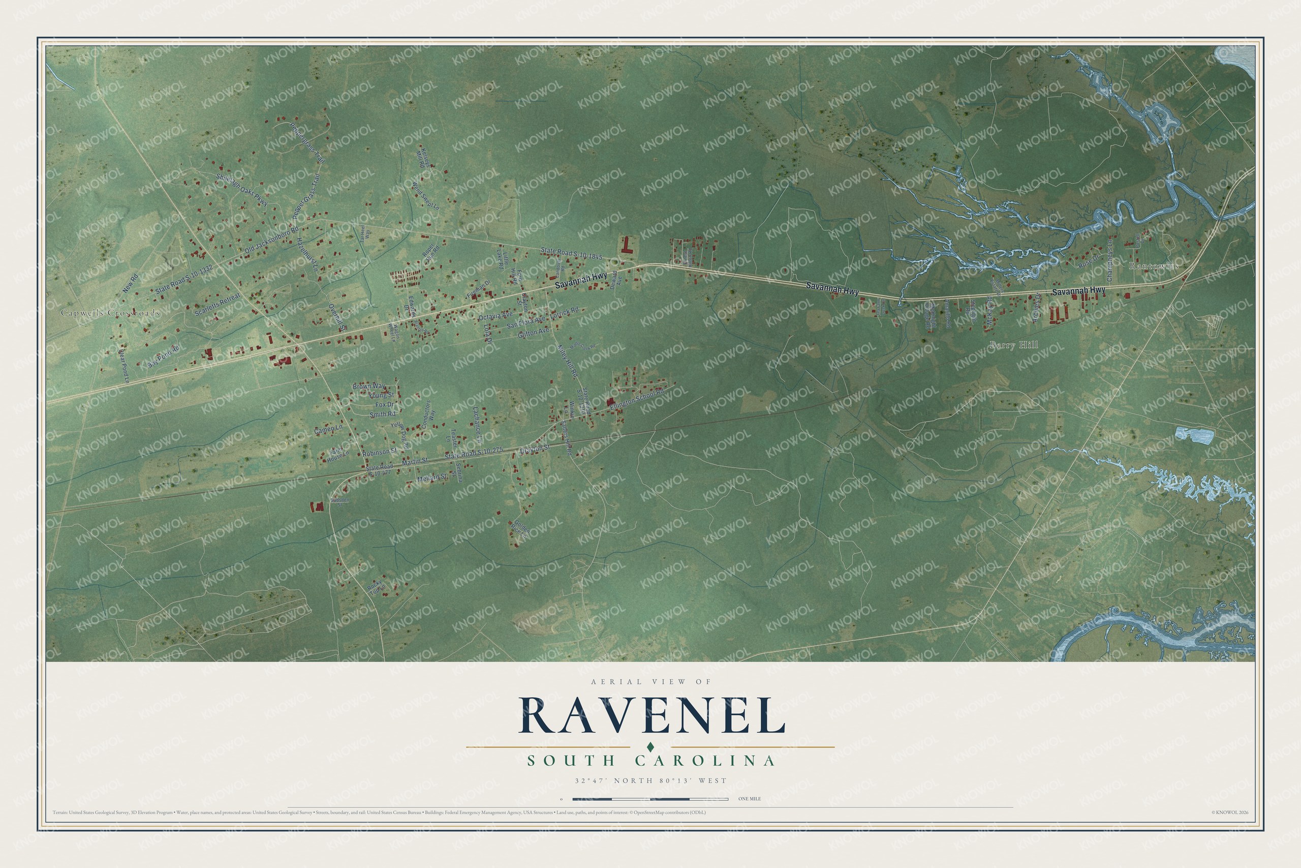
This beautifully detailed map of Ravenel, South Carolina was created in 2026 using aerial imagery combined with modern topographical, census, street and landmark data. It’s a one-of-a-kind view of Ravenel that combines accurate data with a vintage aesthetic. The map shows every building in its true location, many of the roads carry their names, and the shaded topographic relief shows the shape of the land.
Explore an aerial view of Ravenel, South Carolina
On the map you’ll find Rantowles, Berry Hill, and Capwells Crossroads, along with Savannah Highway, Bay Pond Road, Shilelagh Oaks Parkway, Peppergrass Trail, Smith Road, State Road S-10-1845, Old Jacksonboro Road, New Road, State Road S-10-275, and more. If you look closely you can even find your house accurately drawn in its correct location. Zoom in on the preview to look for yours.
Did you know this piece of Ravenel, South Carolina history?
From the Charleston Trident MLS: "The community is named for the prominent Ravenel family, who owned plantation land in St. Paul’s and property in urban Charleston."
Take a closer look at the Ravenel map
Street and place names on the Ravenel, South Carolina map
These names are printed on the map of Ravenel, South Carolina.
Places: Rantowles, Berry Hill and Capwells Crossroads.
Streets and roads: Savannah Highway, Bay Pond Road, Shilelagh Oaks Parkway, Peppergrass Trail, Smith Road, State Road S-10-1845, Old Jacksonboro Road, New Road, State Road S-10-275, Martin Street, Drayton Street, Miley Hill Road.
More street names, A to Z
Amarillo Road, Archies Drive, Branton Road, Brown Way, Cameo Lane, Champneys Lane, Clayton Street, Clear Pond Lane, Conductors Way, Deward Avenue, Edwards Drive, Ellington School Road, Ernest Hilton Road, Farm House Lane, Fireman Drive, Ford Hill Road, Fox Drive, Gadsden Street, Glifton Avenue, Golden Rice Lane, Hazelhurst Lane, Kelseys Mill Road, Lachance Lane, Landover Road, Little Lake Road, Lola Drive, Lorrick Road, McKay Road, McKnight Village Road, Mellard Street, Middle Creek Road, Millers Estate Drive, Octavia Avenue, Overhill Street, Pepper Grass Trail, Postell Drive, Robinson Street, Rocky Top Lane, Roper Run Road, Rose Drive, Salters Hill Road, San Flora Avenue, Scarletts Retreat, Sebrina Street, State Road S-10-477, State Road S-10-1310, State Road S-10-1332, Steplight Road, Tar Heel Way, Tea Farm Creek Circle, Teaster Lane, Wagon Wheel Lane, Wend Swept Lane, Winkie Lane, Yellow Dog Road, Young Street.
See the Ravenel, South Carolina map on a wall
The Ravenel map as an 18 x 24 inch print in a black frame.

This beautifully detailed map of Ravenel makes an attractive addition to your office, library, or den, and it can even be used to teach children the geography and history of the area. It also makes a great gift for anyone with Ravenel roots. When you’re done exploring, click here to get your copy of the Ravenel map.