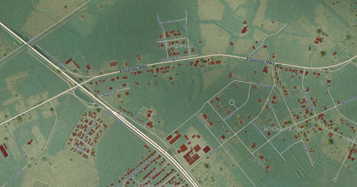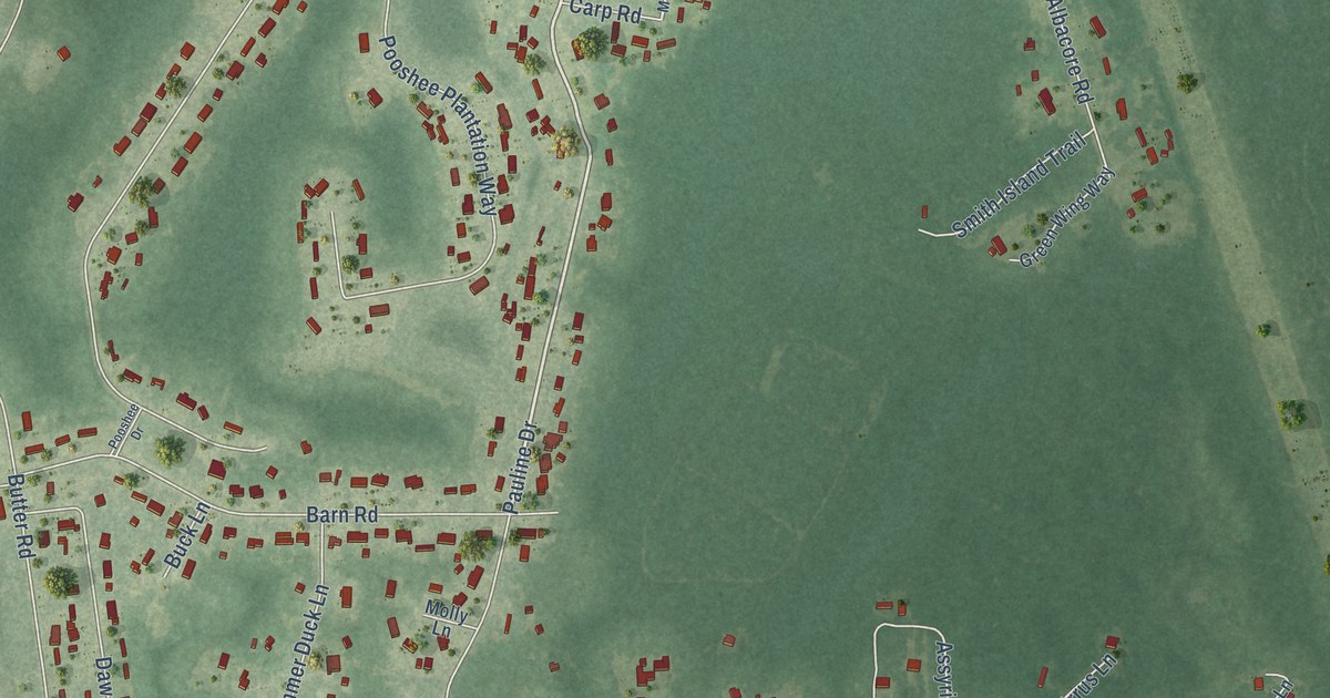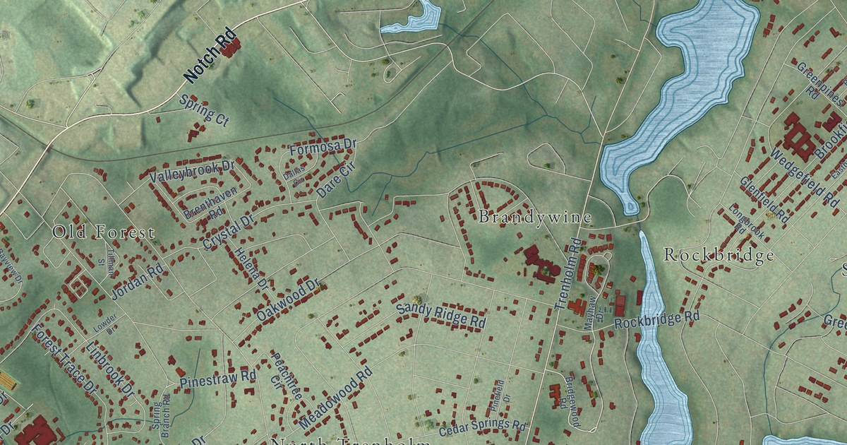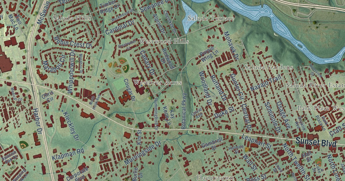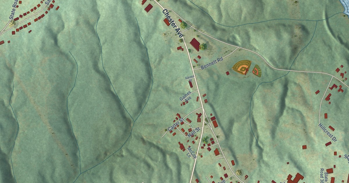
This beautifully detailed map of Great Falls, South Carolina was created in 2026 using aerial imagery combined with modern topographical, census, street and landmark data. It’s a one-of-a-kind view of Great Falls that combines accurate data with a vintage aesthetic. The map shows every building in its true location, many of the roads carry their names, and the shaded topographic relief shows the shape of the land.
Explore an aerial view of Great Falls, South Carolina
On the map you’ll find Nitrolee and Beckhamville, along with Francis Avenue, Chester Avenue, Catawba River Road, Pendergrass Boulevard, Republic Street, Power Street, Dearborn Street, North Street, State Road 139, Sunset Avenue, and more. If you look closely you can even find your house accurately drawn in its correct location. Zoom in on the preview to look for yours.
Did you know this piece of Great Falls, South Carolina history?
From the South Carolina Encyclopedia: "In the early twentieth century Chester County benefited from the construction of hydroelectric power plants on the Catawba River at Rock Hill, Great Falls, and Rocky Mount."
Take a closer look at the Great Falls map
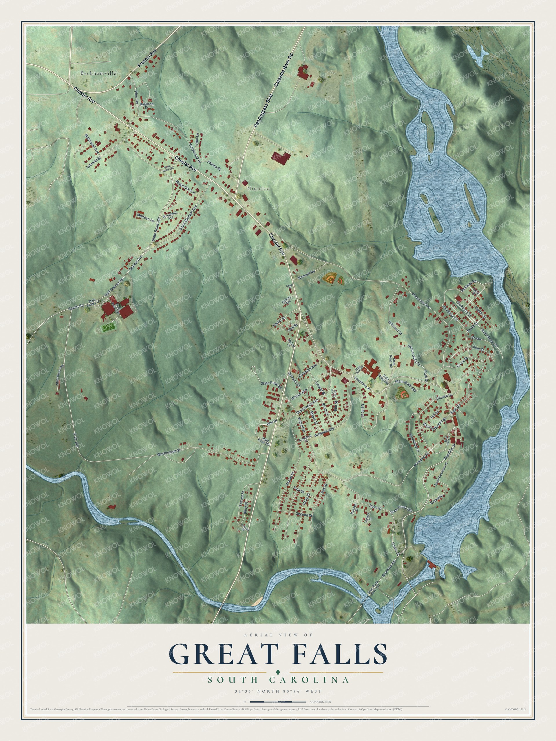
Street and place names on the Great Falls, South Carolina map
These names are printed on the map of Great Falls, South Carolina.
Places: Nitrolee and Beckhamville.
Streets and roads: Francis Avenue, Chester Avenue, Catawba River Road, Pendergrass Boulevard, Republic Street, Power Street, Dearborn Street, North Street, State Road 139, Sunset Avenue, Spillway Road, Pendleton Street.
More street names, A to Z
Alley Street, Argonne Avenue, Armistice Street, Bennett Road, Bfm Drive, Birch Street, Bowden Street, Broad, Brookline Street, Brooklyn Road, Calhoun, Canal Street, Carter Street, Catawba, Catawba Avenue, Center Street, Church Street, Circle Street, Columbia Road, Dewitt Road, Dogwood Drive, Duke Street, East Circle, Elm Street, First Street, Gaines Avenue, Gaines Street, Golf Course Road, Hall Street, Hampton Street, Hillcrest Drive, Hill Street, Hollybrook Drive, Holly Street, Jackson Street, Leeway Street, Leland Street, Locust Street, Lybrand Street, Lynn Lane, Magnolia Avenue, Maple Street, McCoy Lane, McDowell Avenue, Melrose Lane, Oak Street, Park Drive, Paulos Street, Pinecrest Avenue, Pine Street, Pine Terrace, Poplar Street, S-12-140, Saint Michael Avenue, Seaboard Street, Second Street, South Dearborn Street, State Road 20, State Road 63, State Road 138, State Road 157, State Road 164, State Road 179, State Road 247, State Road 273, State Road 280, State Road 361, State Road 382, State Road 423, State Road 458, State Road 534, State Road 585, State Road S-12-141, Underwood Avenue, Walnut Street, Washington Street, West Jefferson Street, Wilson Avenue, Woodland Avenue.
See the Great Falls, South Carolina map on a wall
The Great Falls map as an 18 x 24 inch print in a black frame.

This beautifully detailed map of Great Falls makes an attractive addition to your office, library, or den, and it can even be used to teach children the geography and history of the area. It also makes a great gift for someone who left Great Falls and still calls it home. When you’re done exploring, click here to get your copy of the Great Falls map.