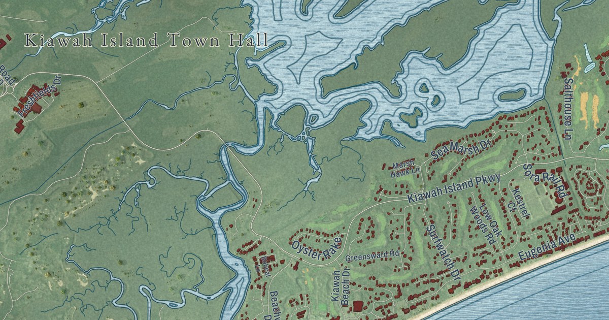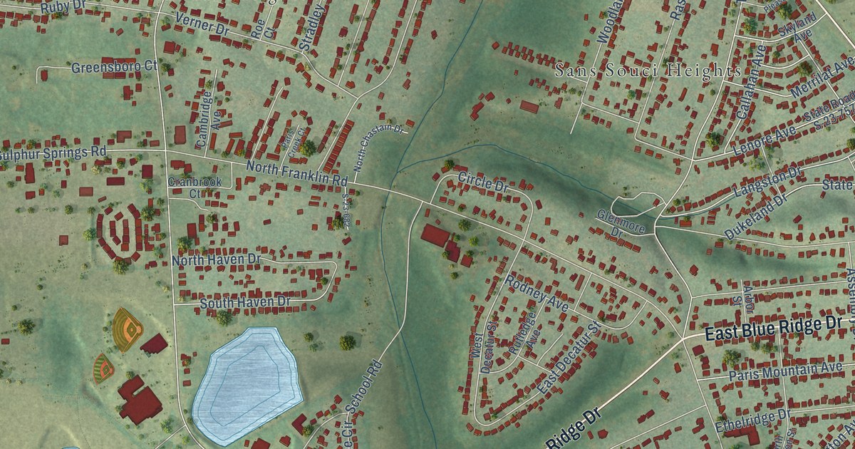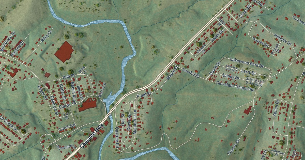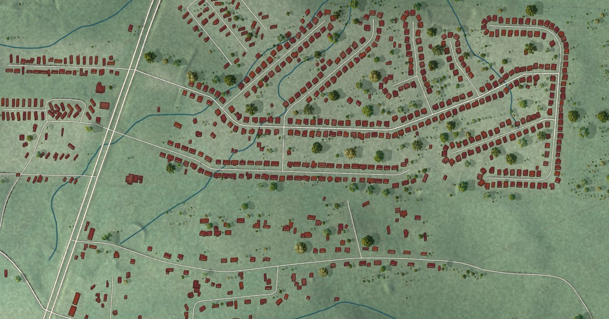
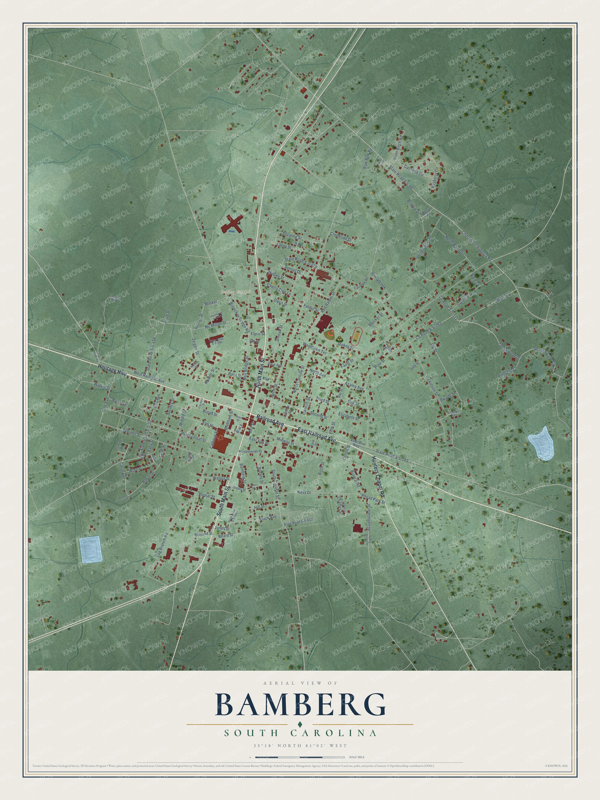
This beautifully detailed map of Bamberg, South Carolina was created in 2026 using aerial imagery combined with modern topographical, census, street and landmark data. It’s a one-of-a-kind view of Bamberg that combines accurate data with a vintage aesthetic. The map shows every building in its true location, many of the roads carry their names, and the shaded topographic relief shows the shape of the land.
Explore an aerial view of Bamberg, South Carolina
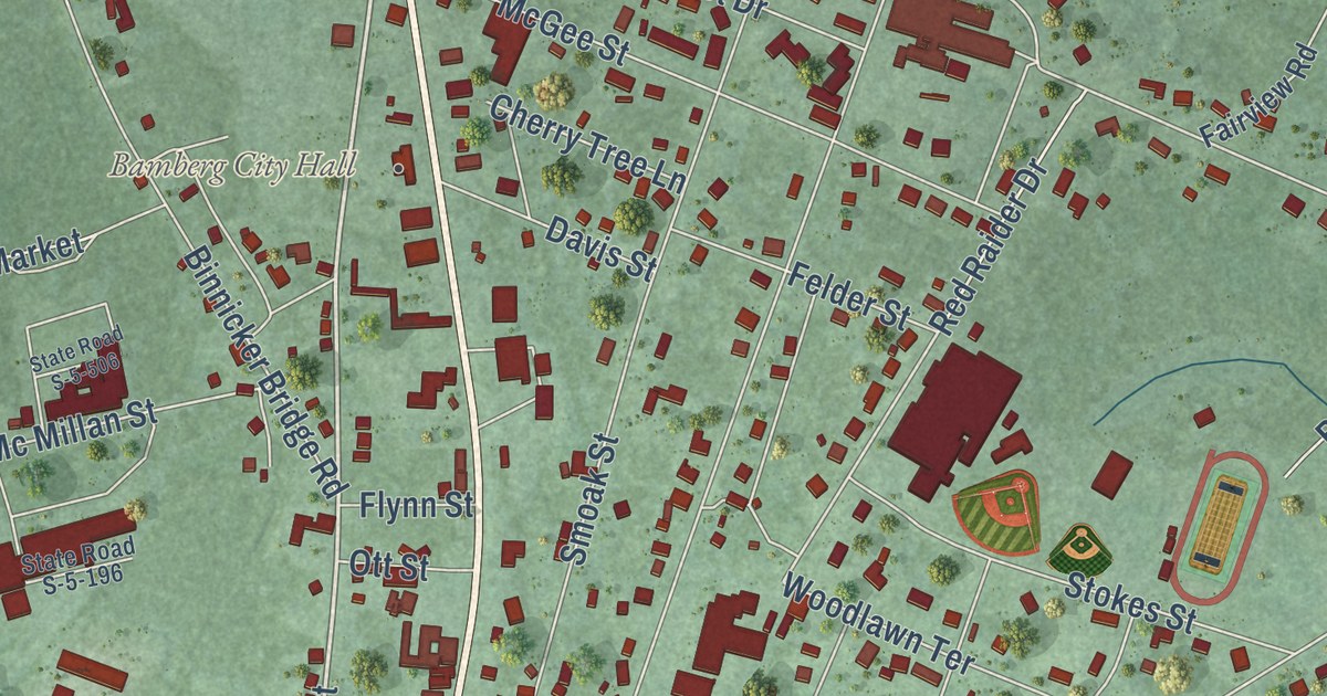
On the map you’ll find Bamberg City Hall, along with North Main Street, South Main Street, Railroad Avenue, Heritage Highway, East Railroad Avenue, Hunters Chapel Road, New Bridge Street, West Railroad Avenue, South Carlisle Street, Bell Street, Robin Drive, and more. If you look closely you can even find your house accurately drawn in its correct location. Zoom in on the preview to look for yours.
Did you know this piece of Bamberg, South Carolina history?
From Scencyclopedia.org: "The South Carolina General Assembly incorporated the town in 1855 and named it in honor of William Seaborn Bamberg, who had acquired the site in 1846."
Take a closer look at the Bamberg map
Street and place names on the Bamberg, South Carolina map
These names are printed on the map of Bamberg, South Carolina.
Places: Bamberg City Hall.
Streets and roads: South Main Street, Railroad Avenue, Heritage Highway, North Main Street, East Railroad Avenue, Hunters Chapel Road, New Bridge Street, South Carlisle Street, West Railroad Avenue, Bell Street, Tanglewood Drive, Gene Street.
More street names, A to Z
Accumulator Street, Azalea Avenue, Bamberg Street, Bayberry Circle, Bay Street, Beard Street, Berte Carter Drive, Binnicker Bridge Road, Birch Street, Black, Black Avenue, Blocker Street, Brabham Street, Branch Road, Brassie Drive, Brickle Street, Broad Street, Broxton Street, Calhoun Street, Cal Street, Canary Drive, Cannon Street, Carlisle Street, Cassena Circle, Charles Street, Charleston-Augusta Road, Cherry Tree Lane, Colonial Drive, Copeland Street, Cotton Street, County Road S-5-193, County Road S-5-511, Cox Avenue, Creekside Drive, Cricket Drive, Croft Street, Davis Street, Dickinson Street, Dixie Avenue, Dwight Street, East Elm Street, East Street, Easy Street, Elizabeth Street, Elm Street, Fairview Road, Faust Street, Felder Street, Fifth Street, Fire Tower Road, Flynn Street, Free Avenue, Green Street, Harper Street, Hawk Court, Highland Circle, Hill Street, Houser Street, James Street, Jay Street, Jones Street, Judy Street, Lacey Street, Log Branch Road, Market, Marta Street, McGee Street, Mc Millan Street, Middle Street, Midway Street, Ness Drive, Niblier Lane, North Avenue, North Carlisle Street, North Street, North Wood Drive, Oak Street, Ott Street, Padgett Street, Park Street, Paw Paw Road, Pentecostal Street, Pine Street, Pixie Lane, Poplar Street, Presbyterian Street, Price Street, Quail Run Court, Race Street, Raven Drive, Red Raider Drive, Rhoad Park Street, River Birch Road, Robin Drive, Rutland Street, S-5-530, Sanders Street, Second Street, Shadow Lane Circle, Short Street, Smoak Street, Snake Street, Society Street, Spring Branch Road, State Road S-5-32, State Road S-5-86, State Road S-5-193, State Road S-5-196, State Road S-5-406, State Road S-5-456, State Road S-5-479, State Road S-5-506, State Road S-5-602, Stokes Street, Sunnybrook, Sunset Drive, Suzanne Street, Thankful Cem Road, Third Street, Veterans Way, Walker Street, Walnut Street, Weimer Street, Woodlawn Terrace, Wren Drive, Zeigler Street.
See the Bamberg, South Carolina map on a wall
The Bamberg map as an 18 x 24 inch print in a black frame.

This beautifully detailed map of Bamberg makes an attractive addition to your office, library, or den, and it can even be used to teach children the geography and history of the area. It also makes a great gift for anyone with Bamberg roots. When you’re done exploring, click here to get your copy of the Bamberg map.