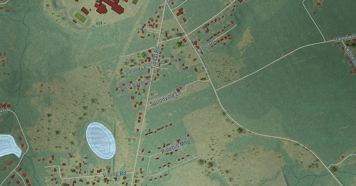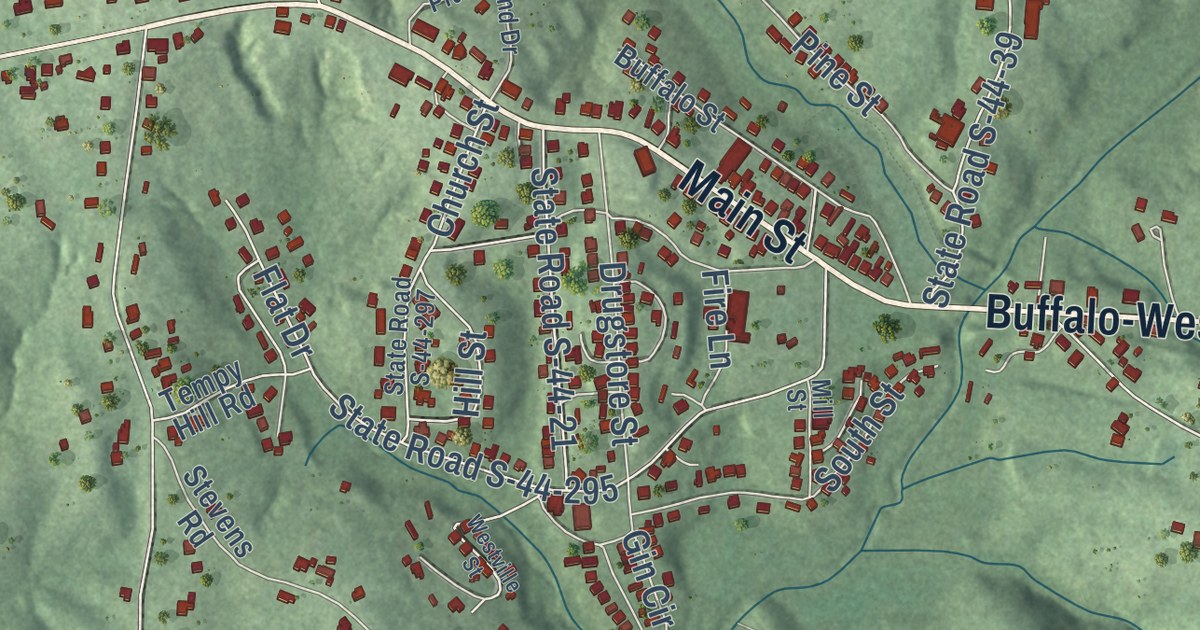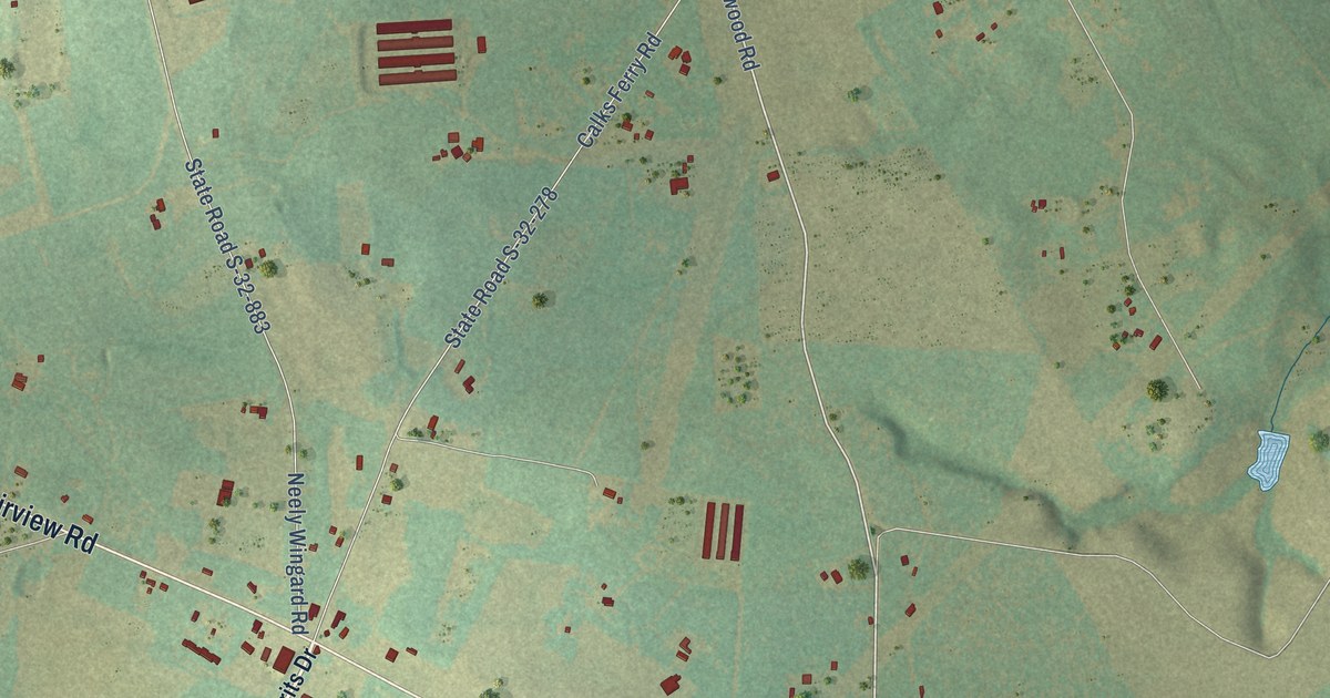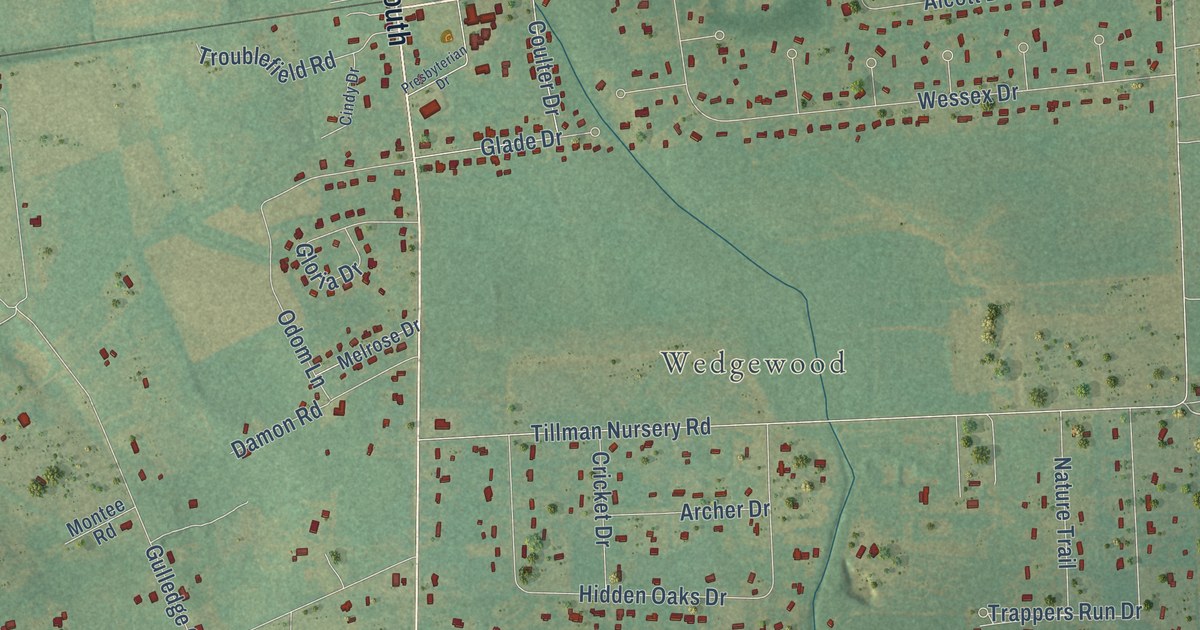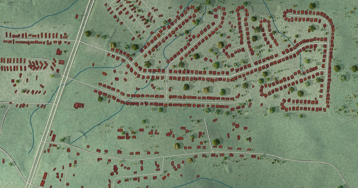
This beautifully detailed map of Gaston, South Carolina was created in 2026 using aerial imagery combined with modern topographical, census, street and landmark data. It’s a one-of-a-kind view of Gaston that combines accurate data with a vintage aesthetic. The map shows every building in its true location, many of the roads carry their names, and the shaded topographic relief shows the shape of the land.
Explore an aerial view of Gaston, South Carolina
On the map you’ll find South Main Street, Main Street North, Southbound Road, Mack Street, State Road S-32-65, Irvin Jumper Road, Boy Scout Road, State Road S-32-664, State Road S-32-100, State Road S-32-1136, Oakey Springs Drive, Irvin Dowd Circle, and more. If you look closely you can even find your house accurately drawn in its correct location. Zoom in on the preview to look for yours.
Did you know this piece of Gaston, South Carolina history?
From the Lexington County Chronicle: "The town created around the depot was most likely named Gaston by the railroad engineer, George Wadley, in honor of his nephew, Gaston Raoul."
Take a closer look at the Gaston map
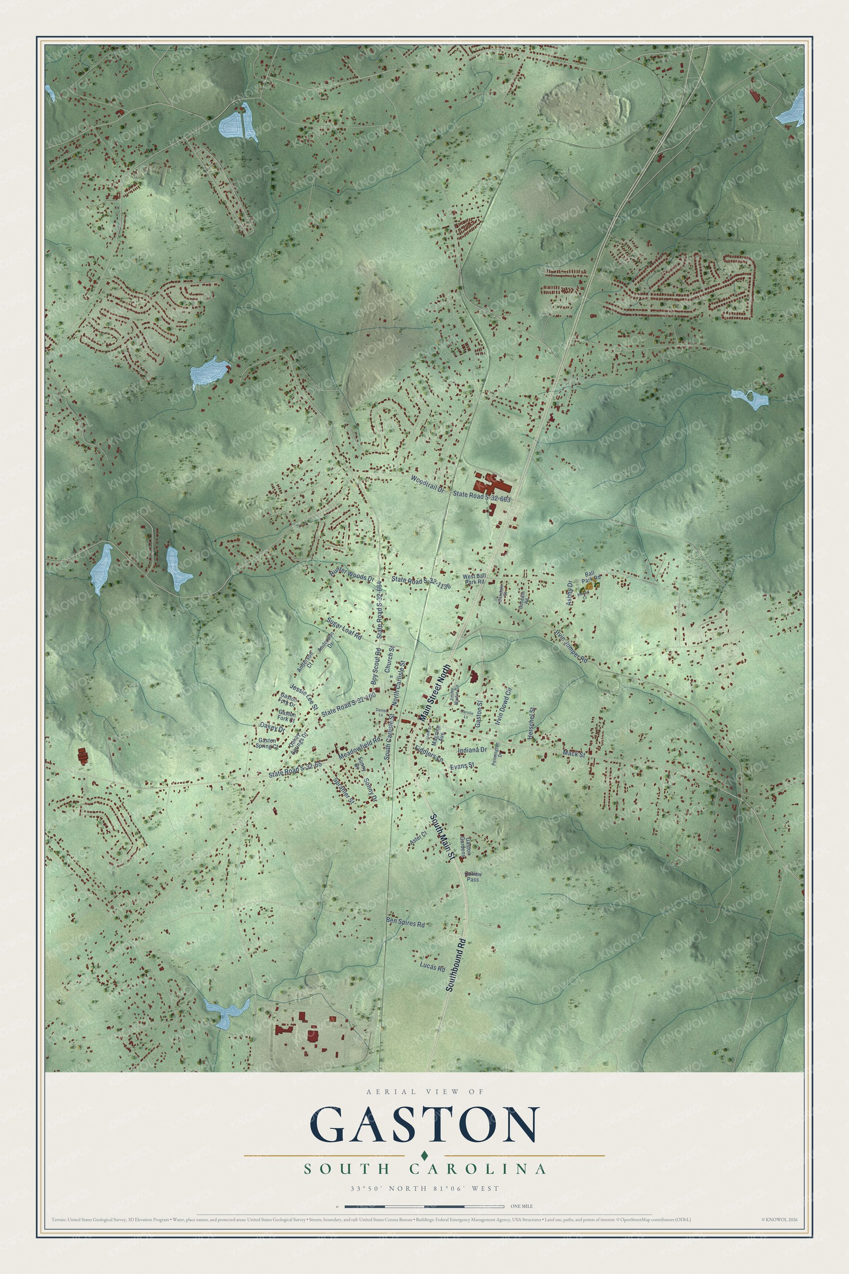
Street names on the Gaston, South Carolina map
These names are printed on the map of Gaston, South Carolina.
Streets and roads: South Main Street, Main Street North, Southbound Road, Mack Street, State Road S-32-664, Boy Scout Road, State Road S-32-65, Irvin Jumper Road, State Road S-32-100, State Road S-32-1136, Irvin Dowd Circle, Meadowfield Road.
More street names, A to Z
Anderson Court, Anderson Drive, Ashby Drive, Aster Court, Ball Park Road, Ben Spires Road, Carolin Lane, Church Street, Daniel Lane, Evans Street, Fiddlers Lane, Gaston Fork Court, Gaston Fork Drive, Gaston Gardens, Gaston Spring Court, Gaston Street, Goodwin Road, Herschel Street, Hunter Woods Drive, Indiana Drive, Jessie Lee Street, Jimmy Martin Circle, Jodie Street, Lucas Road, Magnice Avenue, Mozart Court, North Carlisle Street, Oakdale Street, Oakey Drive, Oakey Springs Drive, Outlaw Pass, Pennington Drive, Sonny Drive, South Carlisle Street, Sprahler Street, State Road S-32-663, Sugar Loaf Road, Sunny Drive, West Ball Park Road, Woodtrail Drive.
See the Gaston, South Carolina map on a wall
The Gaston map as an 18 x 24 inch print in a black frame.

This beautifully detailed map of Gaston makes an attractive addition to your office, library, or den, and it can even be used to teach children the geography and history of the area. It also makes a great gift for anyone with Gaston roots. When you’re done exploring, click here to get your copy of the Gaston map.