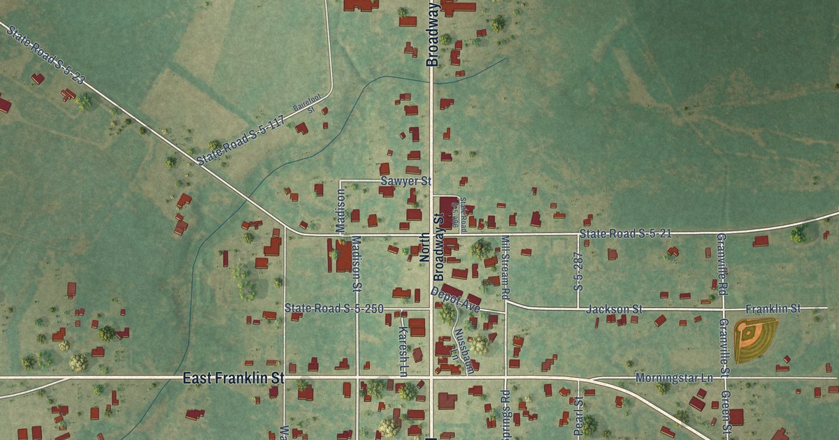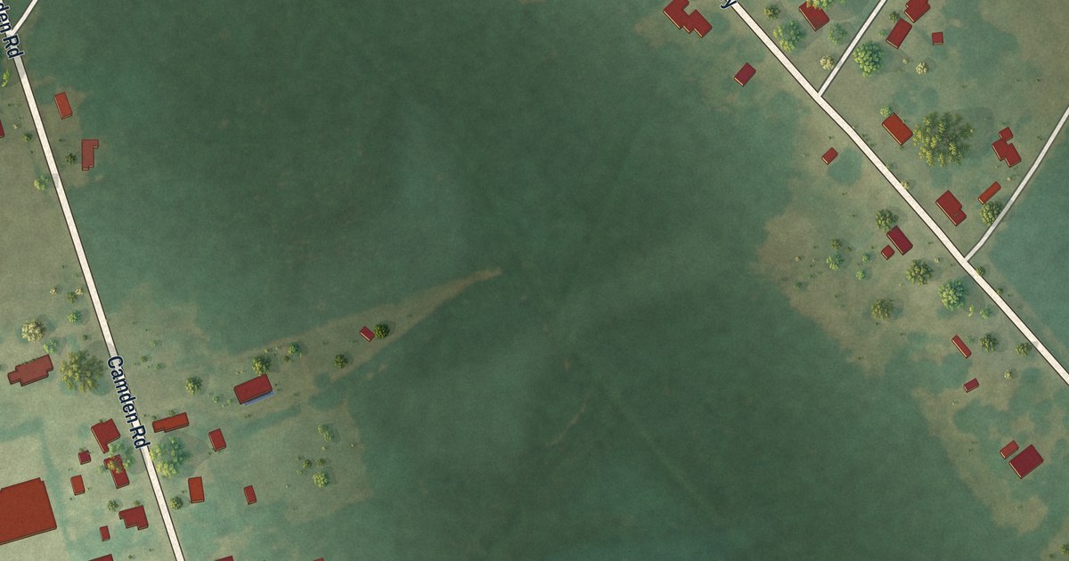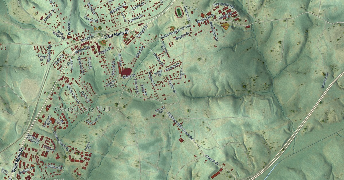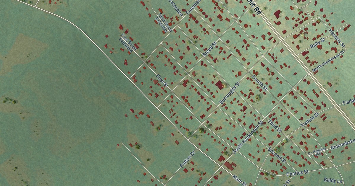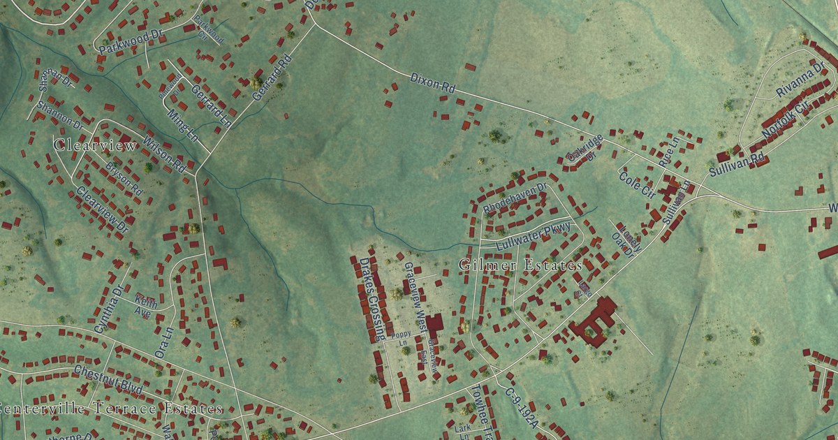
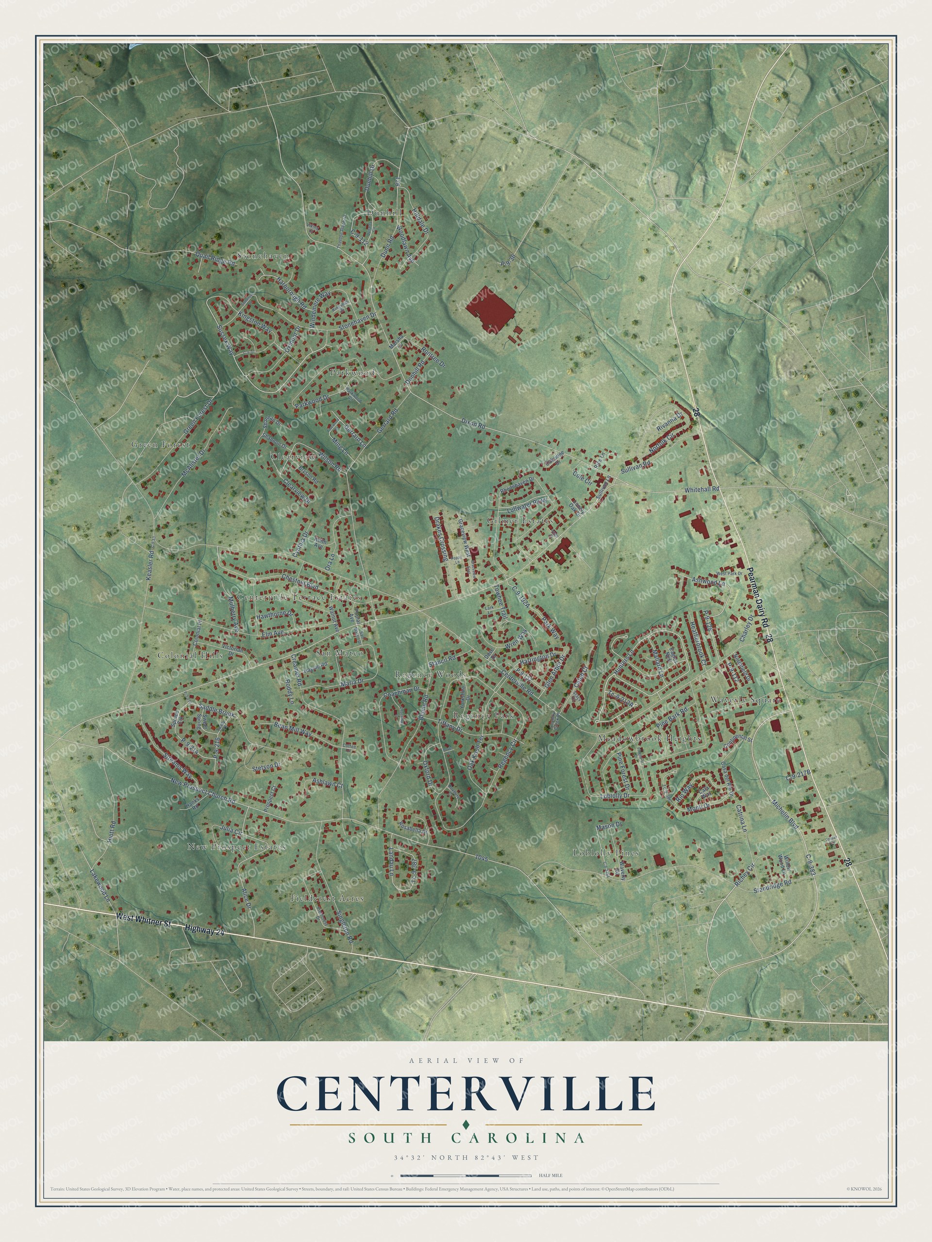
This beautifully detailed map of Centerville, South Carolina was created in 2026 using aerial imagery combined with modern topographical, census, street and landmark data. It's a modern aerial view of Centerville in Anderson County, South Carolina, that combines modern data with a vintage aesthetic. The roads feature printed names, and if you look closely you can find your exact house accurately shown in its correct location.
Explore an aerial view of Centerville, South Carolina
On this map you'll find Centerville Terrace Estates, Clearview, Colonial Hills, Dunhill, Fieldcrest Acres, Gilmer Estates, Green Forest, Loblolly Pines, Meadowbrook Heights, New Prospect Estates, Parkwood, Regency Park, and more. Each red shape is a building, so zoom in on the preview and look for yours.
Centerville has a story worth telling. The Anderson School District Five puts it this way: "THANK YOU to all of our Business Partners for supporting Centerville Elementary students, teachers, and school community."
Centerville is a community in Anderson County. The Census Bureau counted 7,185 people here in 2020.
Take a closer look at the Centerville map
Names on this map
These names are printed on this map.
Places: Centerville Terrace Estates, Clearview, Colonial Hills, Dunhill, Fieldcrest Acres, Gilmer Estates, Green Forest, Loblolly Pines, Meadowbrook Heights, New Prospect Estates, Parkwood, Regency Park, Regency Woods, San Mateo, Stonehaven and Waverly Square.
Streets and roads: Highway 24, West Whitner Street, Pearman Dairy Road, Hunters Lane, Ashwood Lane, Sussex Way, C-9-383, Mallard Lane, Michelin Boulevard, Alice Drive, Chestnut Boulevard, Centerville Road.
More street names, A to Z
Ashlawn Court, Bean Mill Way, Blume Road, Bryson Road, C-9-53, C-9-97, C-9-112, Cala Way, Caleb Court, Casa del Rio Drive, Catrina Lane, Charley Drive, Clearview Drive, Coachman Court, Coachman Drive, Coffee Court, Cole Circle, Colonial Place, Continental Street, Country Creek Drive, Creamer Road, Cynthia Drive, Dixon Road, Donhill Road, Dove Drive, Dover Court, Drakes Crossing, Dunaree Circle, Dunhill Drive, Dunn Road, Eagles Nest, Elm Avenue, Fieldcrest Drive, Gerrard Lane, Gerrard Road, Glen Arbor Drive, Graceview East, Graceview West, Green Forest Drive, Hanks Road, Harborough Road, Harrington Drive, Hawthorne Drive, Haynie Road, Heatherbrook Court, Hilldale Drive, Hiott Road, Jordan Circle, Julia Circle, Keasler Road, Keith Avenue, Kingshill Drive, Kingston Way, Lakewood Lane, Landau Lane, Largo Court, Lark Lane, Loblolly Drive, Lonely Oak Drive, Lullwater Parkway, Maria Drive, Marsha Lane, Mason Drive, McAlister Drive, Ming Lane, Monti Drive, Mulberry Avenue, New Prospect Church Road, Norfolk Circle, Northfield Drive, Oak Knoll Terrace, Oakridge Drive, Ora Lane, Oxford Drive, Oxmoor Drive, P-9-36, P-9-112, P-9-128, P-9-132, P-9-213, P-9-214, P-9-216, Park Way, Parkwood Circle, Parkwood Drive, Pine Bark Road, Pine Forest Drive, Pinehurst Drive, Pinewood Drive, Poplar Avenue, Poppy Lane, Prospect Court, Quail Ridge Road, Regency Circle, Rhodehaven Drive, Rice Lane, Richey Circle, Rio Way, Rivanna Drive, Roddy Lane, Rontree Drive, Rosabella Drive, Roxbury Court, Saddle Brook, Sandy Crk, San Mateo Drive, Shannan Drive, Shannon Drive, Singleton Road, Somerset Lane, Spruce Crk, Stacy Court, Stancil Road, Standridge Road, Stetson Drive, Stonehaven Drive, Streams Way, Sullivan Lane, Sullivan Road, Sweet Spring, Tc-9-386, Tc-9-387, Thaxton Place Court, Tiffany Drive, Towhee Trail, Victorian Drive, Viking Court, Walnut Avenue, Waverly Road, West Park Drive, Whitehall Road, Willow Wood Lane, Wilson Road, Windemere Way, Woodlawn Avenue, Wren Way, Yorkshire Drive.
Created by KNOWOL in 2026. The buildings are small red shapes, the roads carry their printed names, and shaded relief shows the shape of the land. The title panel reads "AERIAL VIEW OF CENTERVILLE SOUTH CAROLINA" with 34°32' NORTH 82°43' WEST.
It looks right in a kitchen, an office or a den, and it's a gift for anyone who grew up in Centerville or moved away. Open the preview and find your street. See sizes and frames for the Centerville map.