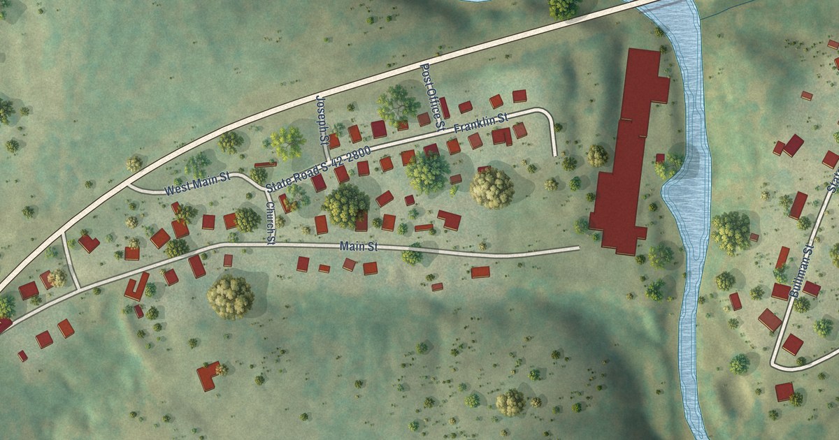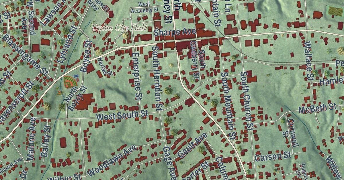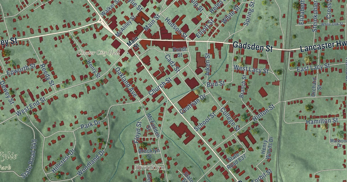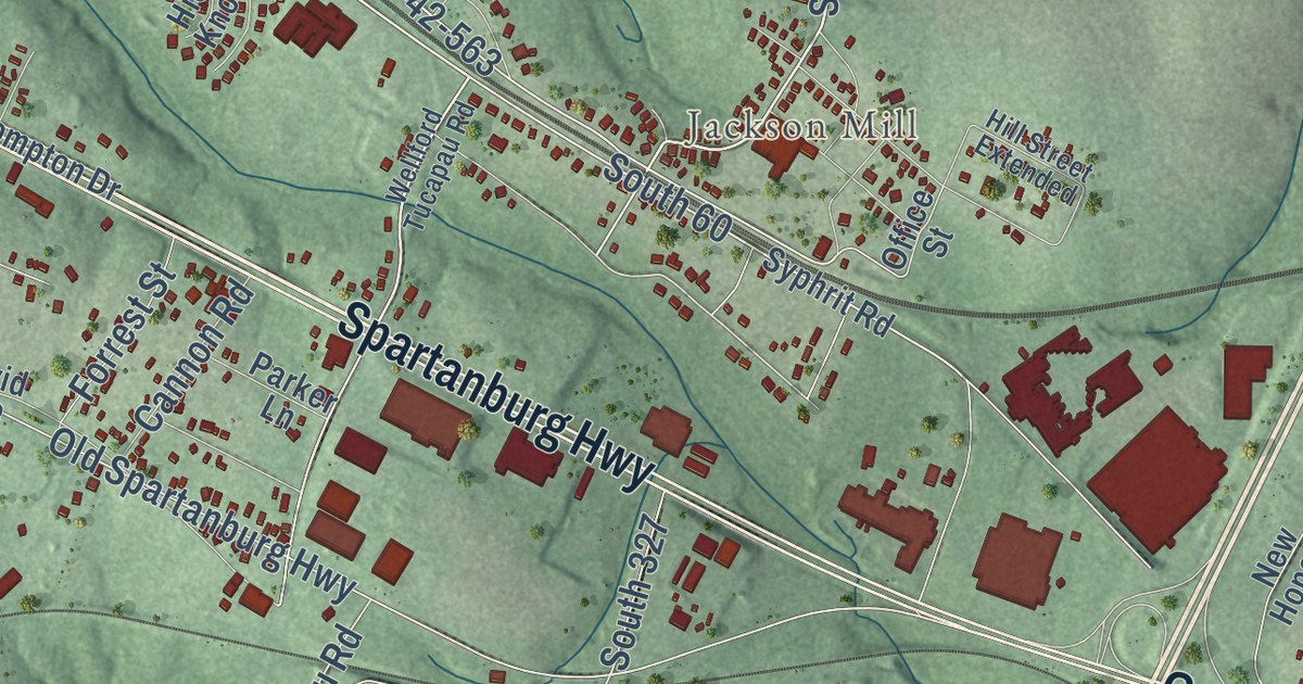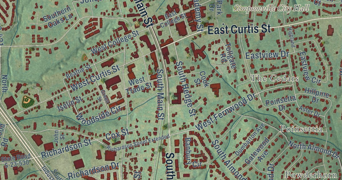
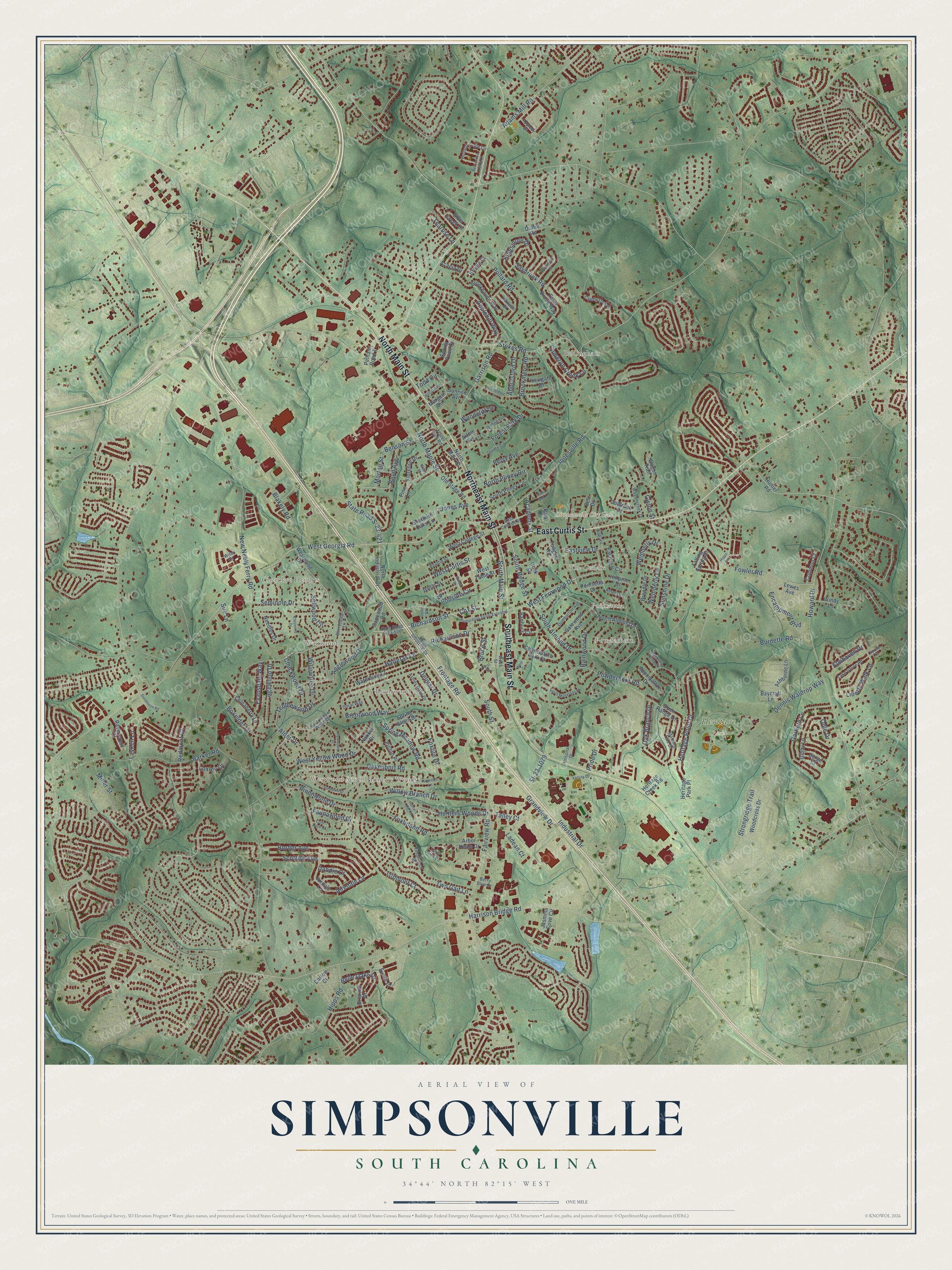
This beautifully detailed map of Simpsonville, South Carolina was created in 2026 using aerial imagery combined with modern topographical, census, street and landmark data. It’s a one-of-a-kind view of Simpsonville that combines accurate data with a vintage aesthetic. The map shows every building in its true location, many of the roads carry their names, and the shaded topographic relief shows the shape of the land.
Explore an aerial view of Simpsonville, South Carolina
On the map you’ll find Simpsonville City Hall, Westwood South, Heritage Park, Bellingham, Brentwood, Cherokee Heights, Hunters Woods, Poinsettia, Powderhorn, The Cedars, and Westwood, along with Southeast Main Street, and more. If you look closely you can even find your house accurately drawn in its correct location. Zoom in on the preview to look for yours.
Did you know this piece of Simpsonville, South Carolina history?
From Scencyclopedia.org: "Incorporated on August 13, 1901, Simpsonville began many decades earlier as a crossroads hamlet where the Old Stage Road intersected a former Cherokee trail, later named the Georgia Road."
Take a closer look at the Simpsonville map
Street and place names on the Simpsonville, South Carolina map
These names are printed on the map of Simpsonville, South Carolina.
Places: Simpsonville City Hall, Westwood South, Heritage Park, Bellingham, Cherokee Heights, Brentwood, Powderhorn, Westwood, Hunters Woods, The Cedars and Poinsettia.
Streets and roads: Southeast Main Street, North Main Street, Northeast Main Street, East Curtis Street, Richardson Street, West Fernwood Drive, Fairview Road, Sunshine Drive, Agewood Drive, Grandview Drive, West Georgia Road, New Neely Ferry Road.
More street names, A to Z
Abbotsford Drive, Acacia Drive, Academy Street, Adams Mill Road, Airdale Lane, Airedale Lane, Alder Drive, Alice Avenue, Anglewood Drive, Appleby Drive, Applehill Way, Appomattox Drive, Arbor Keats Drive, Arlen Avenue, Ashborne Lane, Ashdown Drive, Ashley Oaks Drive, Aster Drive, Banbury Circle, Barker Road, Baycraft Lane, Beattie Street, Bell Drive, Belle Oaks Drive, Benjamine Perry Court, Benson Street, Berry Blue Court, Blakely Road, Border Avenue, Boxelder Lane, Boyd Avenue, Brendle Drive, Brentwood Way, Briarhill Drive, Brielle Court, Brookhaven Way, Brookmere Road, Bruce Street, Burdette Road, Burge Court, Cameron Creek Lane, Candleston Place, Capewood Road, Carlow Court, Cedar Donne Circle, Chancellors Park Court, Cheyenne Drive, Chinaberry Lane, Chuckwood Drive, Cloverdale Lane, Common Court, Cook Street, Corkwood Drive, Cox Street, Crest Street, Dandie Drive, Davenport Road, Delmar Drive, Dennis Waldrop Way, Doral Way, Duffie Road, Dumbarton Avenue, East College Street, Eastview Circle, Eastview Drive, East Yellow Wood Drive, Elmhaven Drive, Encampment Boulevard, Evansdale Way, Falling Spring Court, Farm Brook Way, Faunawood Drive, Florence Drive, Forest Park Drive, Fowler Road, Foxfire Drive, Foxhound Road, Foxworth Lane, Frontage Road, Garfield Lane, Garrison Road, Gatewood Avenue, Gibby Lane, Goldrush Court, Green Street, Gwinn Street, Harpers Ferry Court, Harrison Bridge Road, Hartwell Drive, Hatteras Lane, Heritage Creek Road, Heritage Park Place, Heritage Point Drive, Highland, Hillpine Drive, Hipps Avenue, Hipps Road, Holland Trace Circle, Hospital Drive, Howard Drive, Hunter Road, Hunters Hill Road, Hunters Woods Drive, Industrial Drive, Iselin Street, Jasmine Cove Circle, John Street, Jones Avenue, Jonesville Road, Kingsmoor Drive, Ladean Court, Lake Grove Road, Layken Lane, Lewes Avenue, Liberty Walk Lane, Lone Rock Court, Louvale Court, Loxley Drive, Miller Street, Morgan Circle, Morning Tide Drive, Morton Street, Nakkol Drive, Needles Drive, Newgate Drive, North Almond Drive, North Industrial Drive, North Maple Street, North Pliney Circle, Oak Branch Drive, Odie Drive, Old Stage Road, Open Range Lane, Park Drive, Pelham Road 1, Perry Avenue, Picton Place, Pine Lane, Pinonwood Drive, Poinsetta Drive, Pollard Road, Powderhorn Road, Pride Drive, Rainwood Drive, Ravencrest Court, Redmont Court, Richardson Drive, Richardson Street Extended, Ruby Bay Lane, Saybrook Road, Scottish Avenue, Sellwood Circle, Seminole Drive, Sf-23-1079, Sherondale Lane, Slow Creek Drive, South Almond Drive, Southern Oaks Lane, South Hedge Street, South Industrial Drive, South Main Street, South Manassas Drive, South Pliney Circle, South Street, Spring Glenn Drive, Springleaf Court, Spring Meadow Road, Spring Point Court, State Road S-23-421, State Road S-23-530, Stenhouse Road, Stokes Road, Strongridge Trail, Sue Lane, Sunlit Drive, Sunrise Avenue, Talley Court, Tearose Lane, Tebblewood Drive, Terrace Circle, Timberjack Street, Todd Circle, Tollgate Road, Trailer Park Road, Tripmont Court, Two Gait Lane, Varsity Drive, Wagoncreek Drive, Wagon Trail, Waterbury Court, Webb Street, Wemberly Drive, Wemberly Lane, West Circle, West College Street, West Curtis Street, West Trade Street, Westwood Drive, West Yellow Wood Drive, Wilbon Circle, Wiley Drive, Willis Street, Willow Branch Drive, Willowtree Drive, Windy Lane, Woodcliff Court, Woodcross Drive, Woodside Circle.
See the Simpsonville, South Carolina map on a wall
The Simpsonville map as an 18 x 24 inch print in a black frame.

This beautifully detailed map of Simpsonville makes an attractive addition to your office, library, or den, and it can even be used to teach children the geography and history of the area. It also makes a great gift for anyone who grew up in Simpsonville or moved away. When you’re done exploring, click here to get your copy of the Simpsonville map.