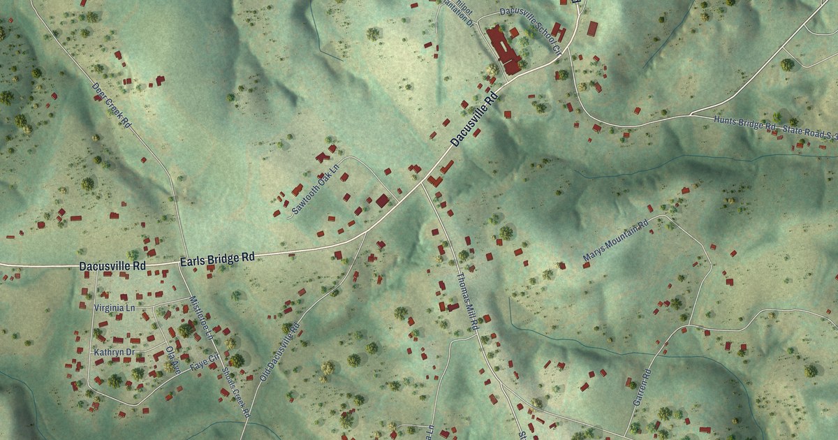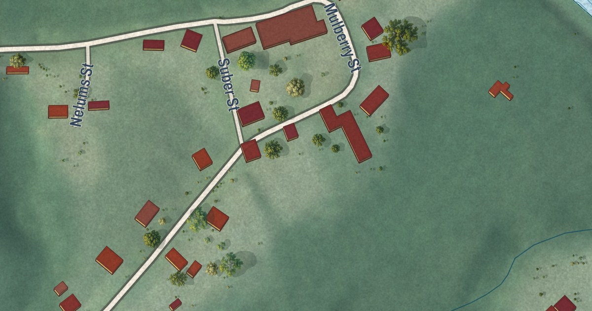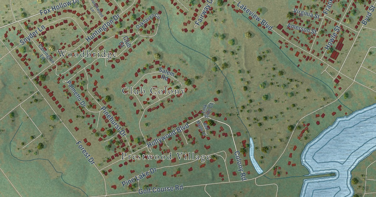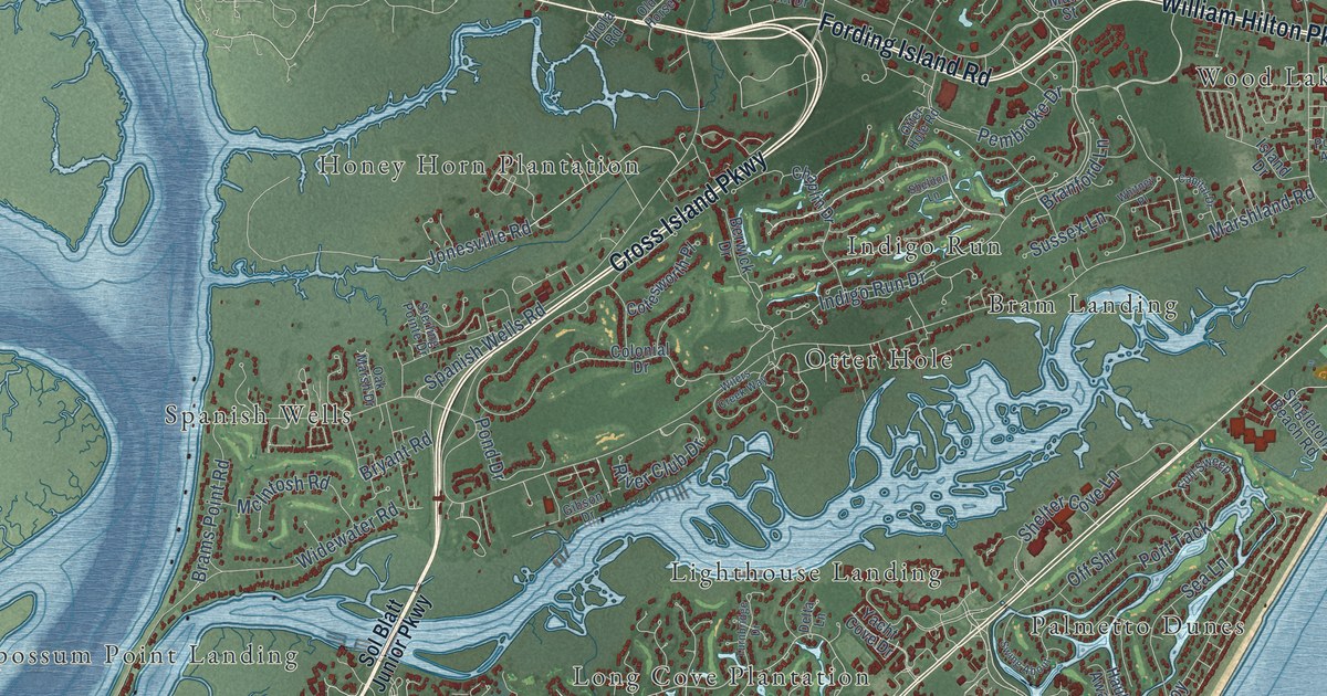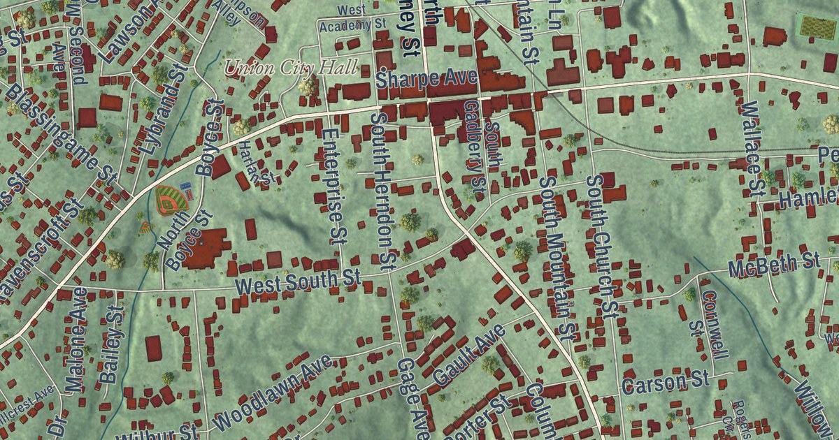
This beautifully detailed map of Union, South Carolina was created in 2026 using aerial imagery combined with modern topographical, census, street and landmark data. It’s a one-of-a-kind view of Union that combines accurate data with a vintage aesthetic. The map shows every building in its true location, many of the roads carry their names, and the shaded topographic relief shows the shape of the land.
Explore an aerial view of Union, South Carolina
On the map you’ll find Union City Hall and Rosemont Cemetery, along with North Duncan Bypass, Main Street, West Main Street, Duncan Bypass, South Duncan Bypass, South Pinckney Street, Pinckney Street, Thompson Boulevard, East Main Street, Buffalo-West Springs Highway, and more. If you look closely you can even find your house accurately drawn in its correct location. Zoom in on the preview to look for yours.
Did you know this piece of Union, South Carolina history?
From Scencyclopedia.org: "Although European settlers first arrived in the 1750s to the area that became Union, it was not until the General Assembly created the county in 1785 that the town of Union began to take shape."
Take a closer look at the Union map
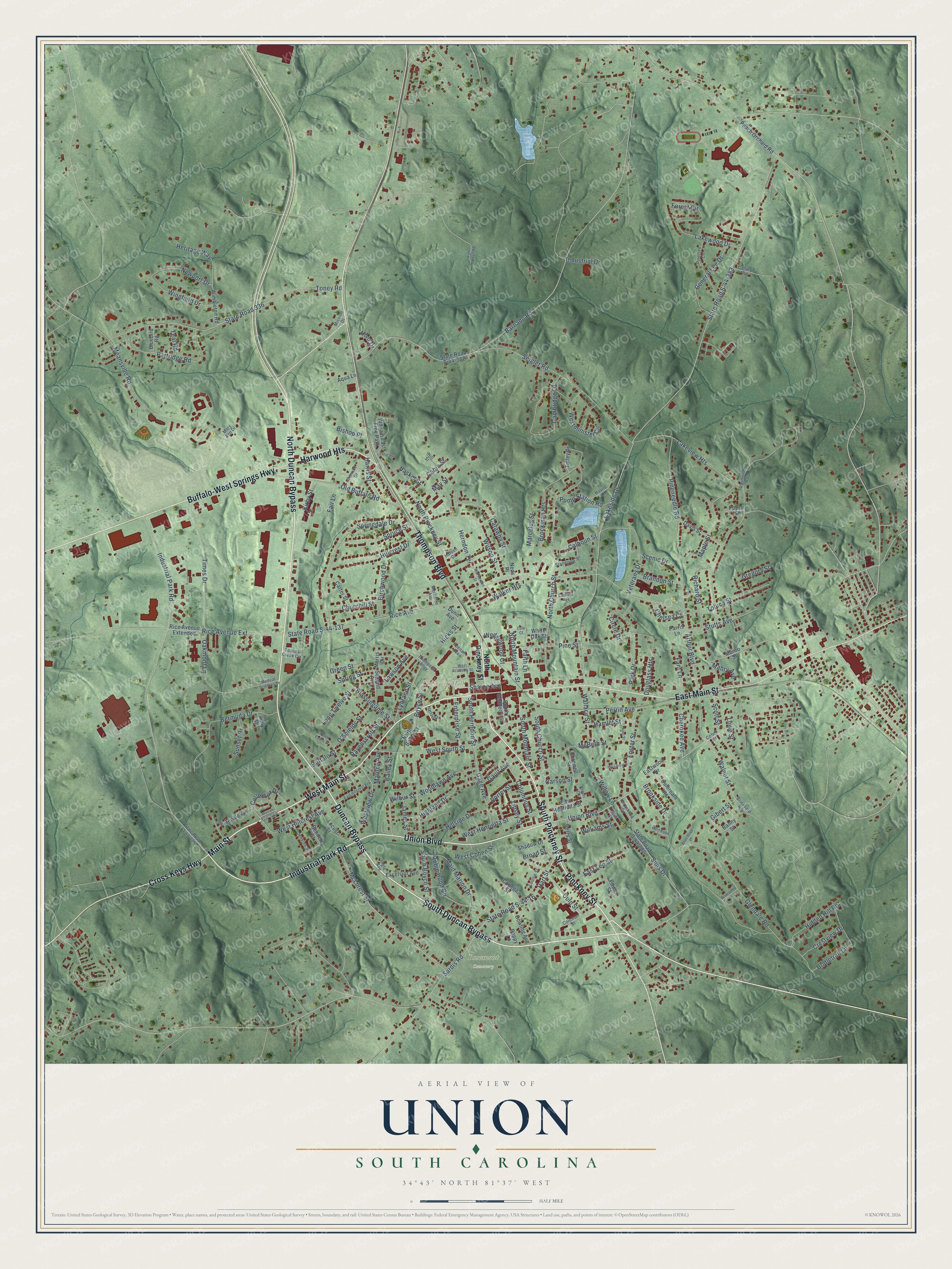
Street and place names on the Union, South Carolina map
These names are printed on the map of Union, South Carolina.
Places: Union City Hall and Rosemont Cemetery.
Streets and roads: North Duncan Bypass, Main Street, West Main Street, Duncan Bypass, South Duncan Bypass, South Pinckney Street, Pinckney Street, Thompson Boulevard, Union Boulevard, Industrial Park Road, East Main Street, Buffalo-West Springs Highway.
More street names, A to Z
Aqua Lane, Arthur Boulevard, Axel Street, Bailey Street, Banny Street, Barnado Road, Beechtree Place, Bennett Street, Bermuda Drive, Berry Street, Birchwood Drive, Bishop Place, Blassingame Street, Bluebird Road, Bowling Avenue, Boyce Street, Brandon Street, Briarwood Lane, Brickyard Road, Bridletrail Lane, Broad Street, Brockman Heights, Brookside Drive, Buffalo Street, Cabin Street, Calhoun Street, Callihan Road, Cambridge Drive, Carolina Avenue, Carson Street, Carter Street, Catawba Street, Chelsea Court, Cherokee Avenue, Churchill Street, Circle Drive, Cohen Street, Coleman Street, Collector Drive, College Street, Columbus Street, Cornwell Street, Crestview Drive, Cross Keys Highway, Culbreath Heights, Culp Court, Culp Street, Davis Street, Douglass Heights, Dunn Avenue, East Henrietta Street, East Hillcrest Avenue, East Lee Street, Eastwood Drive, Enterprise Street, Excelsior Avenue, Fair Lane, Faith Lane, Fant Lane, Forest Circle, Foster Street, Gage Avenue, Gault Avenue, General Lee Drive, Gibert Street, Glendale Road, Green Street, Gregory Street, Halden Drive, Hamlet Street, Harlan Street, Harris Street, Hart Street, Harwood Heights, Haskel Street, Havird Lane, Heritage Way, Herndon Terrace, Hicks Street, Hidden Hill Road, Highland Drive, Hillcrest Drive, Hillside Drive, Hill Street, Holly Drive, Horseshoe Circle, Hunt Drive, Industrial Drive, Ingle Avenue, James Street, Jenkins Street, Keenan Avenue, Kirby Street, Lakeside Drive, Lakeview Heights, Lakewood Drive, Lawson Avenue, Lillie Drive, Lipsey Street, Locust Street, Long Twelve Street, Louise Street, Lowe Street, Lybrand Street, Mabry Avenue, Maid Marion Drive, Malone Avenue, Maple Street, Marcelus Street, Mary Ann Drive, May Street, McBeth Street, McLurest Street, McPherson Street, Meansville Road, Medical Sciences Drive, Merriman Avenue, Mission Drive, Morris Circle, Munro Street, Murrah Apartment, Neds Place, Newport Drive, New Street, North Boyce Street, North Church Street, North Evans Street, North Mountain Street, North Pinckney Street, O'Shields Street, Oakmont Lane, Old Buffalo Road, Park Drive, Parris Lane, Partridge Road, Peach Orchard Road, Perrin Avenue, Pinedale Avenue, Pine Knoll Road, Pineneedle Road, Pine Street, Pinetree Lane, Poplar Street, Poppy Lane, Porter Street, Powell Street, Pump Station Road, Ravenscroft Street, Raymond Road, Rice Avenue, Rice Avenue Extended, Rice Avenue Extension, Richard Street, Robin Hood Circle, Rogers Circle, Rosewood Terrace, Sardis Road, Scenic Drive, Scott Street, Second Avenue, Seigler Road, Shadow Drive, Sharpe Avenue, Sims Drive, South Boyce Street, South Church Street, South Gadberry Street, South Herndon Street, South Mountain Street, Springdale Drive, Spring Street, Spruce Street, Standpipe Street, State Road 336, State Road S-44-16, State Road S-44-137, State Road S-44-194, State Road S-44-282, State Road S-44-382, State Road S-44-383, Stutts Avenue, Sunset Drive, Talley Drive, Teal Road, Terrace Drive, Thompson Alley, Times Drive, Toluca Street, Toney Road, Toshes Creek Circle, Veterans Drive, Walker Heights, Wallace Street, Walnut Street, Wedgewood Court, West Academy Street, West Cohen Street, West Henrietta Street, West Hillcrest Avenue, Westminister Circle, West South Street, Westview Drive, White Oak Street, Wilbur Street, William East Free Path, Williams Street, Willow Lane, Wilson Street, Wimbleton Road, Wingfield Drive, Woodlawn Avenue, Woodrow Street.
See the Union, South Carolina map on a wall
The Union map as an 18 x 24 inch print in a black frame.

This beautifully detailed map of Union makes an attractive addition to your office, library, or den, and it can even be used to teach children the geography and history of the area. It also makes a great gift for someone who left Union and still calls it home. When you’re done exploring, click here to get your copy of the Union map.