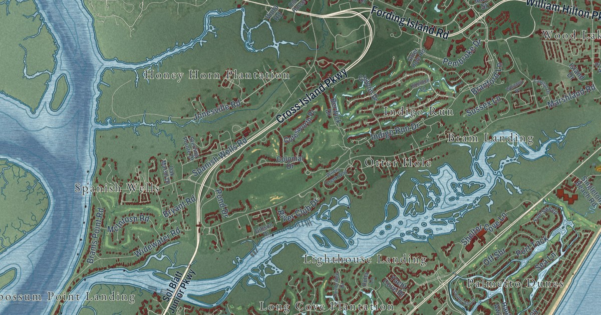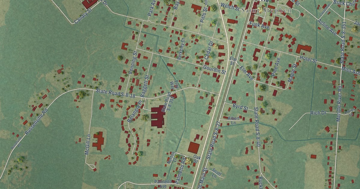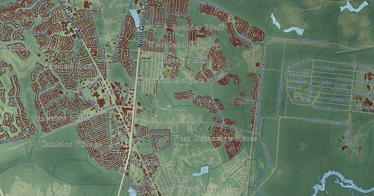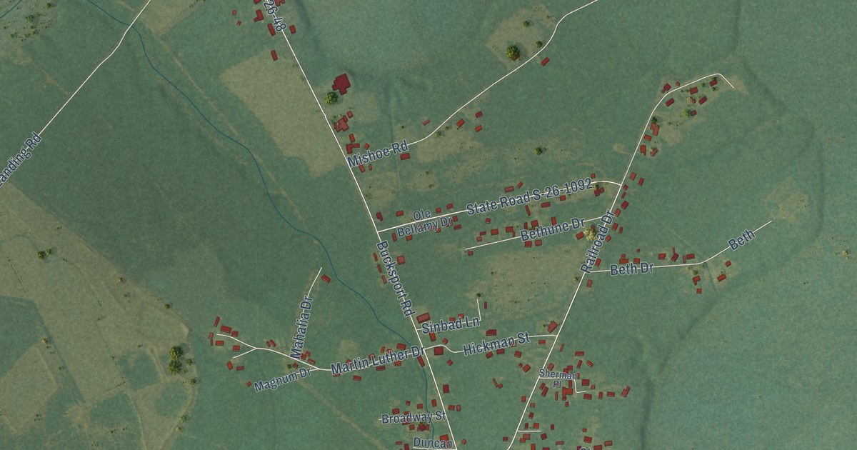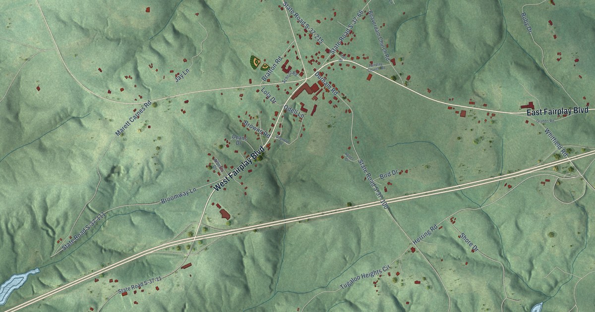
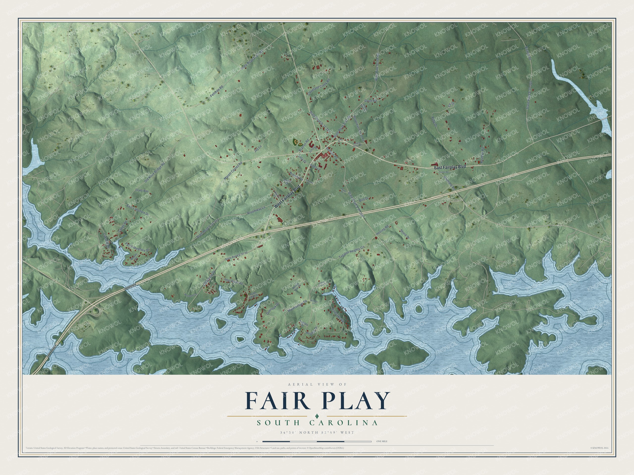
This beautifully detailed map of Fair Play, South Carolina was created in 2026 using aerial imagery combined with modern topographical, census, street and landmark data. It's a modern aerial view of Fair Play in Oconee County, South Carolina, that combines modern data with a vintage aesthetic. The roads feature printed names, and if you look closely you can find your exact house accurately shown in its correct location.
Explore an aerial view of Fair Play, South Carolina
On this map you'll find East Fairplay Boulevard, West Fairplay Boulevard, Herring Road, Riverlake Road, Tugaloo Heights Circle, Old Knox Bridge Road, Durham Road, State Road S-37-100, Feltman Road, State Road S-37-167, State Road S-37-66, West Pine Grove Road, and more. Each red shape is a building, so zoom in on the preview and look for yours.
Here is a piece of Fair Play history. Beaverdam Church at Fair Play dates its beginnings to about 1780 or 1790, when its first church, built of hewn logs, stood about a mile from the village. Writing in 1879, local historian William P. Calhoun believed it was the oldest church in Oconee County. Its surviving record book opens with a meeting in January 1803. That's from the Keowee Courier.
Fair Play is a community in Oconee County. The Census Bureau counted 704 people here in 2020.
Take a closer look at the Fair Play map
Names on this map
These names are printed on this map.
Streets and roads: East Fairplay Boulevard, West Fairplay Boulevard, Herring Road, Riverlake Road, Tugaloo Heights Circle, Old Knox Bridge Road, Durham Road, State Road S-37-100, Feltman Road, State Road S-37-167, State Road S-37-66, West Pine Grove Road.
More street names, A to Z
Agnes Drive, Alberts Drive, Beaverdam Church Road, Bird Drive, Boulden Road, Brandon Drive, Bratton Road, Broomway Lane, Browns Road, Capps Road, Ce 70, Cleveland Creek Road, Deans Drive, East Lakeshore Drive, East Lakshore Drive, Fairplay Church Road, Gates Cove Drive, Grady Way, Grant Road, Grubbs Road, Hall Street, Hearth Stone Lane, Heights Drive, Hyde Cove Drive, Inlet Point Road, Jay Lane, Lakehill Road, Lakeshore Drive, Lola Drive, Marett Carnes Road, Mossy Oak Drive, Odell Lane, Overlook Drive, Richey Road, Ruby Drive, School Road, Shore Drive, State Road S-37-11, State Road S-37-111, State Road S-37-207, State Road S-37-215, Tugaloo Drive, Watersedge Road, Whitfield Road, Williams Lane, Woodlawn Drive, Woods Drive.
See it on a wall
The Fair Play map as a framed print. Swipe for more.


Created by KNOWOL in 2026. The buildings are small red shapes, the roads carry their printed names, and shaded relief shows the shape of the land. The title panel reads "AERIAL VIEW OF FAIR PLAY, SOUTH CAROLINA" with 34°30' NORTH 82°59' WEST.
It suits a den, a classroom or a front hall, and it makes a gift for anyone with Fair Play roots. Open the preview and find the block you know. See sizes and frames for the Fair Play map.