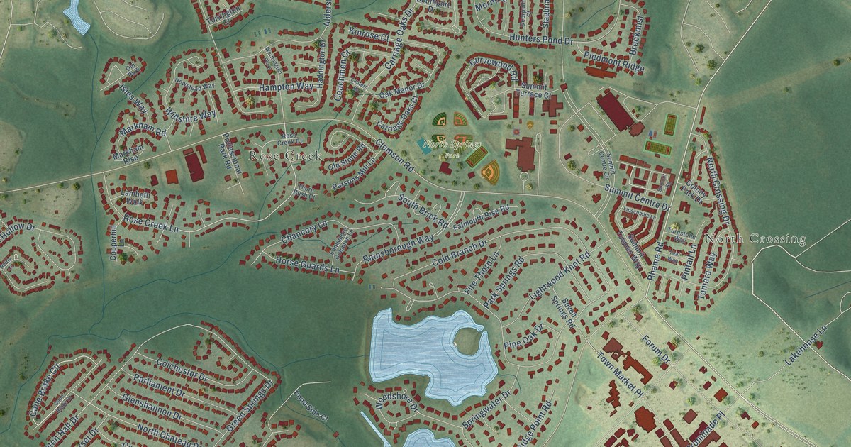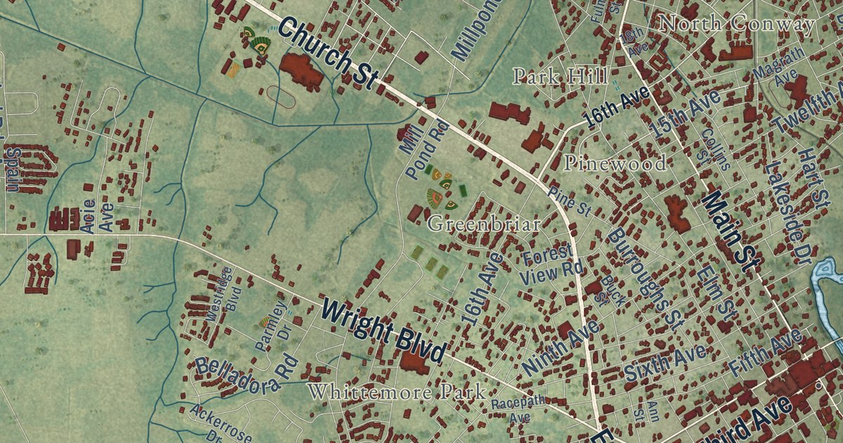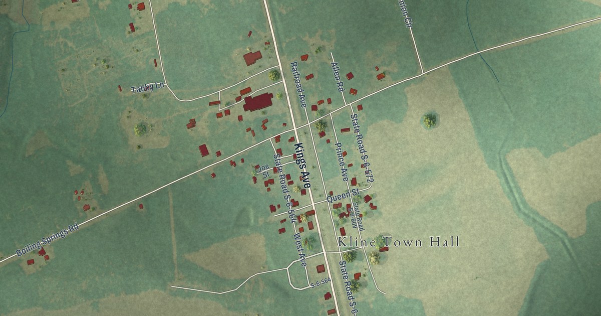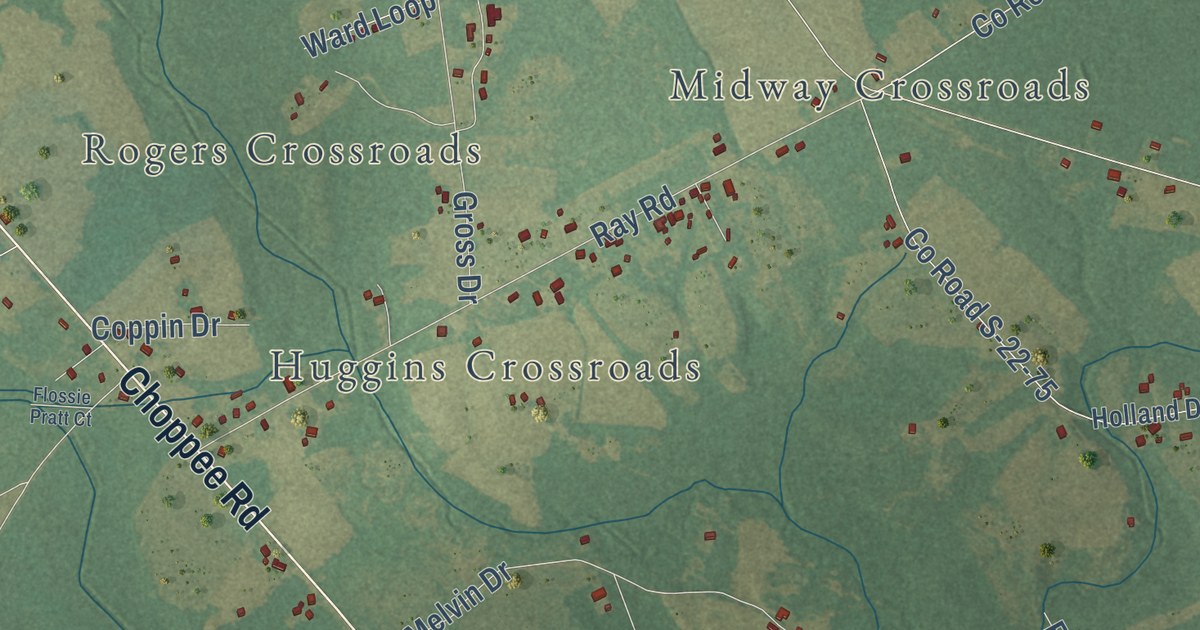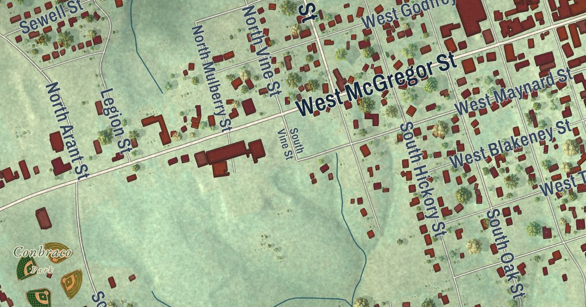
This beautifully detailed map of Pageland, South Carolina was created in 2026 using aerial imagery combined with modern topographical, census, street and landmark data. It’s a one-of-a-kind view of Pageland that combines accurate data with a vintage aesthetic. The map shows every building in its true location, many of the roads carry their names, and the shaded topographic relief shows the shape of the land.
Explore an aerial view of Pageland, South Carolina
On the map you’ll find Conbraco Park, along with West McGregor Street, East McGregor Street, McGregor Street, North Van Lingle Mungo Boulevard, North Pearl Street, North Elm Street, South Van Lingle Mungo Boulevard, South Pearl Street, Edisto Street, West Maynard Street, East Maynard Street, and more. If you look closely you can even find your house accurately drawn in its correct location. Zoom in on the preview to look for yours.
Did you know this piece of Pageland, South Carolina history?
From Scencyclopedia.org: "Reece Shelby seems to have been the first to receive a state land grant in the Pageland area in 1788."
Take a closer look at the Pageland map
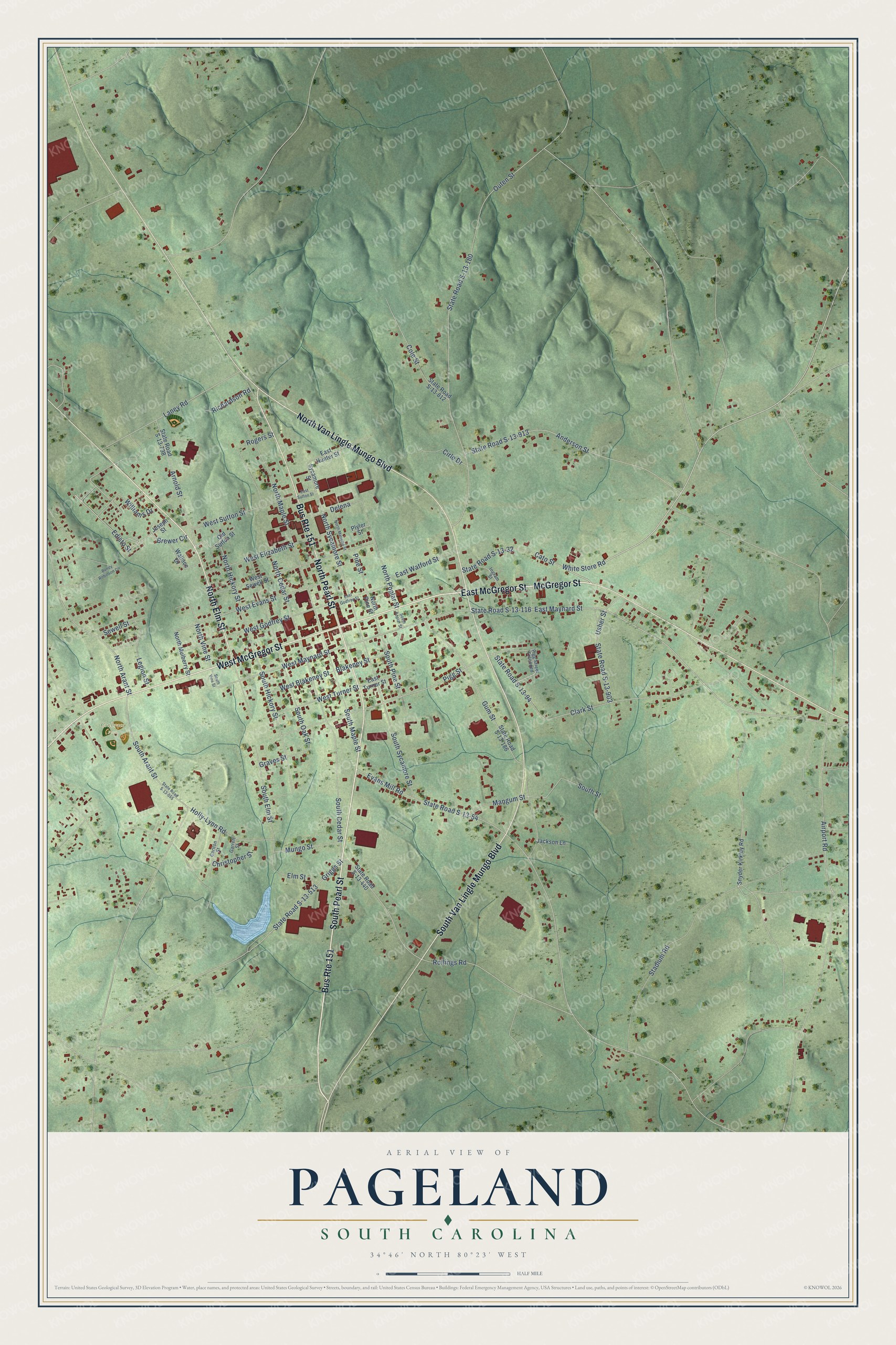
Street and place names on the Pageland, South Carolina map
These names are printed on the map of Pageland, South Carolina.
Places: Conbraco Park.
Streets and roads: East McGregor Street, McGregor Street, South Pearl Street, West McGregor Street, North Elm Street, Bus Route 151, South Van Lingle Mungo Boulevard, North Van Lingle Mungo Boulevard, North Pearl Street, White Store Road, Edisto Street, East Maynard Street.
More street names, A to Z
Airport Road, Anderson Street, Arnold Street, Blakeney Street, Brewer Circle, Bundy Robinson Circle, Carlton Street, Cato Street, Christopher Street, Cirle Drive, Clark Street, Cole Street, Delena, East Godfrey Street, East Hunter Street, East Sutton Street, East Turner Street, East Watford Street, Elm Street, Evans Mill Road, Garrett Street, Graves Street, Griggs Street, Gum Street, Holly-Lynn Road, Ingram Street, Jackson Lane, Joseph Street, Laney Road, Legion Street, Mangum Street, Mungo Street, North Arant Street, North Cedar Street, North Hickory Street, North Maple Street, North Marietta Street, North Mulberry Street, North Pine Street, North Poplar Street, North Sycamore Street, North Vine Street, Old Sutton Street, Outen Street, Pigg Street, Pigg Street Extended, Pine Street, Plyler Street, Richardson Road, Rogers Street, Rollings Road, Sewell Street, Snyder Kirkley Road, South Arant Street, South Cedar Street, South Elm Street, South Hickory Street, South Maple Street, South Oak Street, South Pine Street, South Poplar Street, South Street, South Sycamore Street, South Vine Street, Stadium Road, State Road S-13-32, State Road S-13-54, State Road S-13-94, State Road S-13-116, State Road S-13-180, State Road S-13-186, State Road S-13-440, State Road S-13-513, State Road S-13-555, State Road S-13-738, State Road S-13-812, State Road S-13-903, State Road S-13-913, Sycamore Street, Usher Street, Wallace Drive, West Blakeney Street, West Elizabeth Street, West Evans Street, West Godfrey Street, West Maynard Street, West Sewell Street, West Sutton Street, West Turner Street, Williams Drive.
See the Pageland, South Carolina map on a wall
The Pageland map as an 18 x 24 inch print in a black frame.

This beautifully detailed map of Pageland makes an attractive addition to your office, library, or den, and it can even be used to teach children the geography and history of the area. It also makes a great gift for someone who left Pageland and still calls it home. When you’re done exploring, click here to get your copy of the Pageland map.