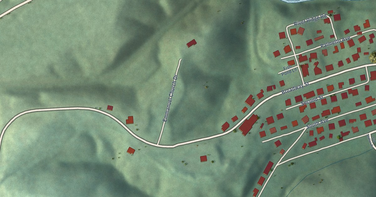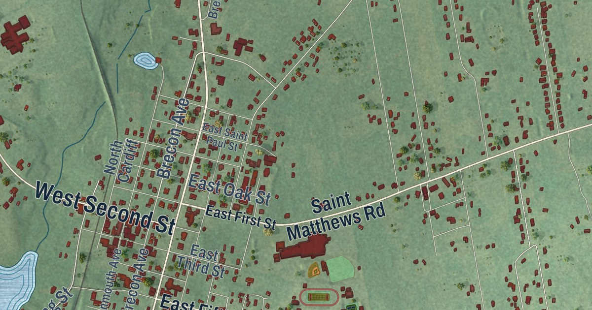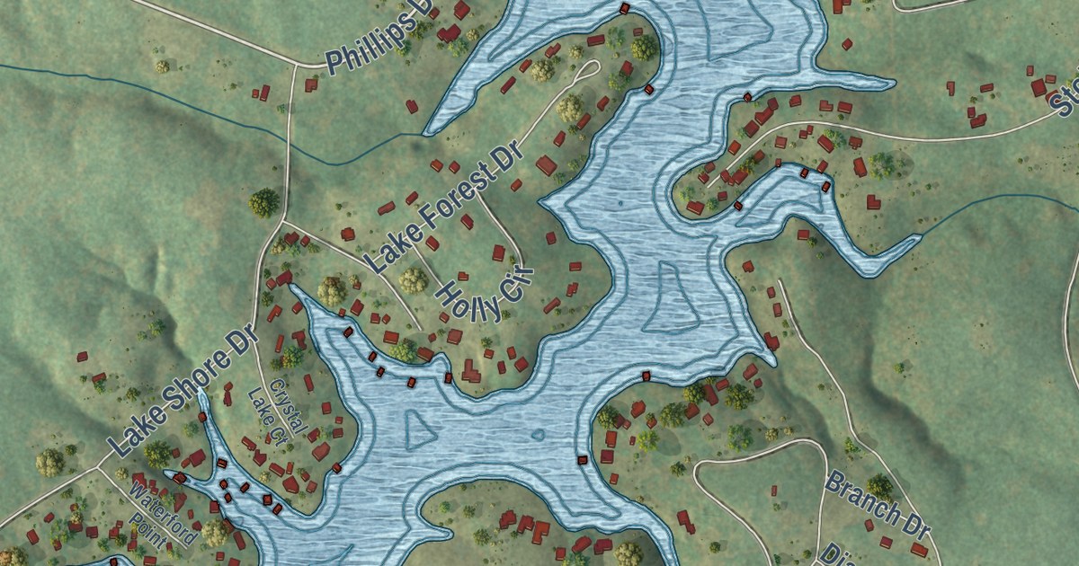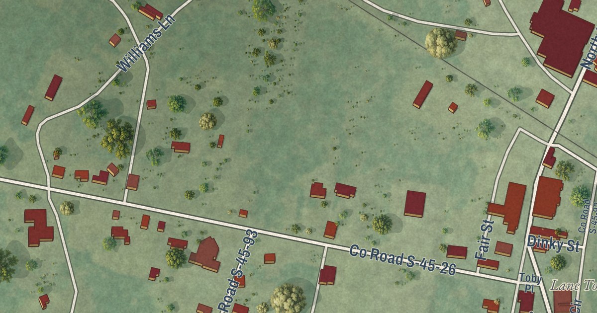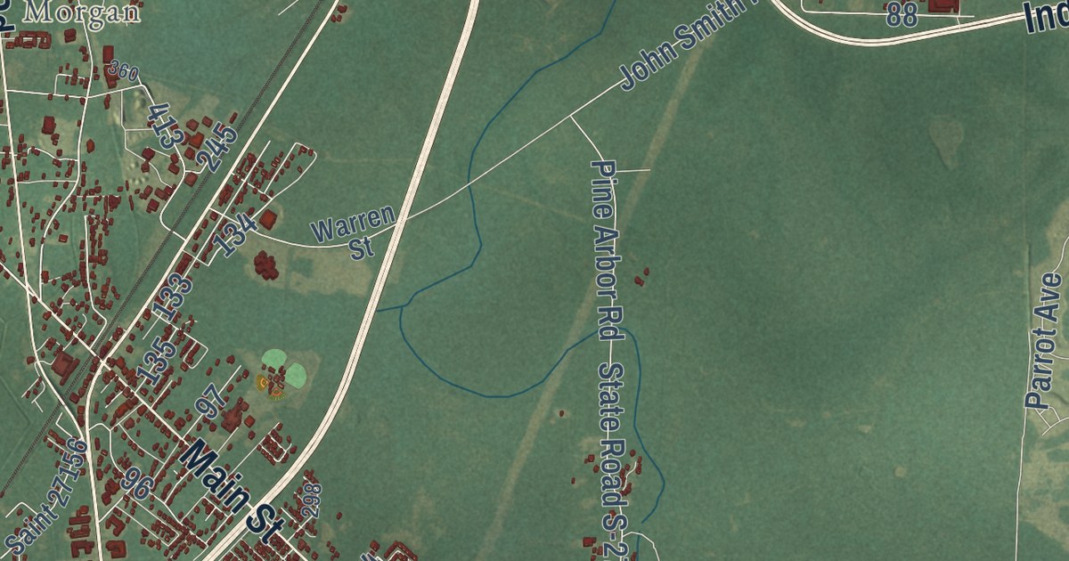
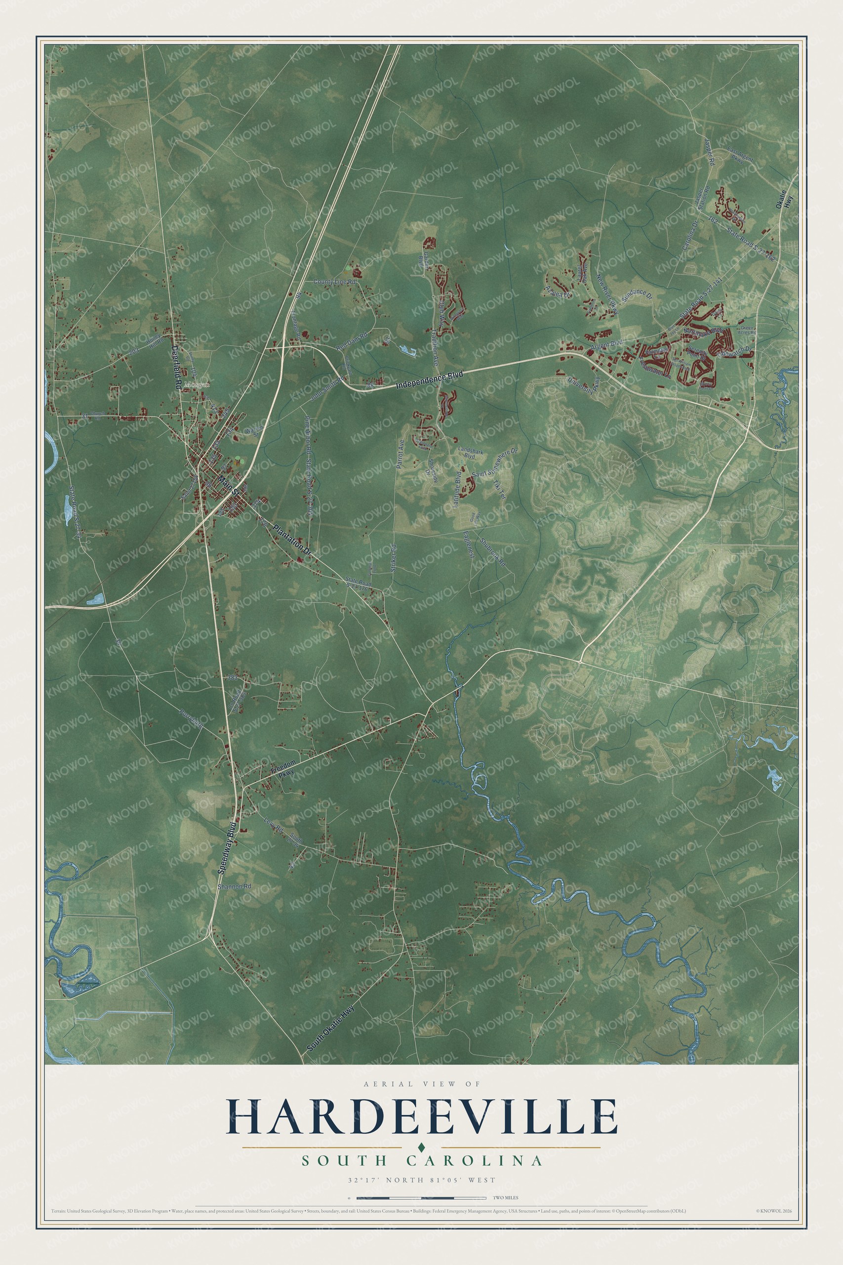
This beautifully detailed map of Hardeeville, South Carolina was created in 2026 using aerial imagery combined with modern topographical, census, street and landmark data. It’s a one-of-a-kind view of Hardeeville that combines accurate data with a vintage aesthetic. The map shows every building in its true location, many of the roads carry their names, and the shaded topographic relief shows the shape of the land.
Explore an aerial view of Hardeeville, South Carolina
On the map you’ll find Jasper, Okatie, Limehouse, Mill Stone Landing, Morgan, and Purryburg, along with Independence Boulevard, Plantation Drive, Speedway Boulevard, Main Street, South Okatie Highway, Deerfield Road, and more. If you look closely you can even find your house accurately drawn in its correct location. Zoom in on the preview to look for yours.
Did you know this piece of Hardeeville, South Carolina history?
From Scencyclopedia.org: "In the 1730s, an expedition of Swiss Protestants, led by Jean Pierre Purry, settled on a land grant on the Savannah River (about two miles northwest of the modern town of Hardeeville), which was dubbed Purrysburg."
Take a closer look at the Hardeeville map
Street and place names on the Hardeeville, South Carolina map
These names are printed on the map of Hardeeville, South Carolina.
Places: Morgan.
Streets and roads: Independence Boulevard, Speedway Boulevard, Plantation Drive, Main Street, South Okatie Highway, Deerfield Road, Purryburg, Latitude Boulevard, Jasper Road, State Road S-27-162, State Road S-27-141, State Road S-27-34.
More street names, A to Z
Argent Boulevard, Azalea Drive, Blue Jay Lane, Brickyard Road, Carolina Drive, Church Road, Club Way, Coleman Loop, County Line Road, County Road S-27-383, Daisy Lane, Eaglenest, East Argent Parkway, Firethorn Lane, Freedom Parkway, Freshwater Lane, Frontage Road, Garden Boulevard, Good Life Way, Green Acres Road, Hearthstone Drive, Honey Hill Road, Jasper Station Road, John Smith Road, Landshark Boulevard, Laurel Oak Avenue, Levy Road, Mystic Point Drive, New River Parkway, Northlake Boulevard, Okatie Highway, Palmdale Lane, Parrot Avenue, Pine Arbor Road, Red Dam Road, Saint 27156, Saint Somewhere Drive, Serenity Point Drive, Sgt William Jasper Boulevard, Shannon Road, Shoreside Drive, Shubrook Road, South 27-34, Starboard Tack, State Road S-27-176, State Road S-27-304, Stiney Road, Striker Road, Summertime Place, Sundance Drive, Tidewatch Drive, Tiki Terrace, Tradition Avenue, University Parkway, Warren Street, Wiregrass Way.
See the Hardeeville, South Carolina map on a wall
The Hardeeville map as an 18 x 24 inch print in a black frame.

This beautifully detailed map of Hardeeville makes an attractive addition to your office, library, or den, and it can even be used to teach children the geography and history of the area. It also makes a great gift for anyone who grew up in Hardeeville or moved away. When you’re done exploring, click here to get your copy of the Hardeeville map.