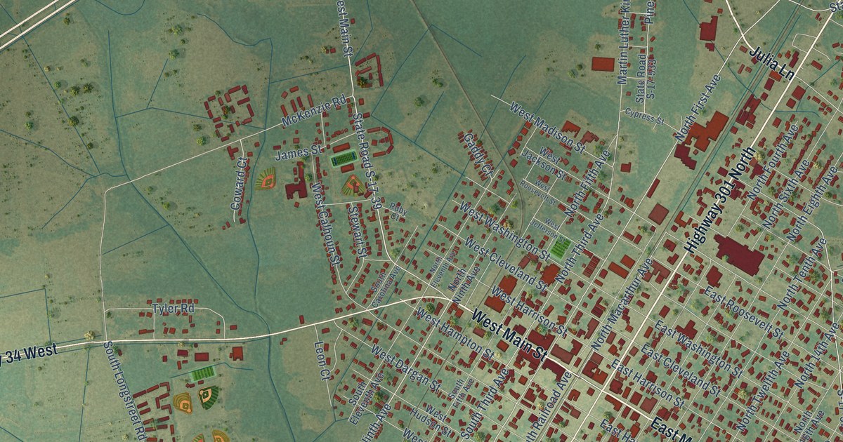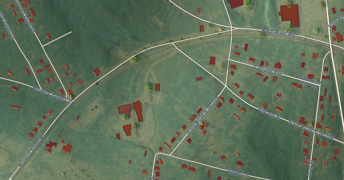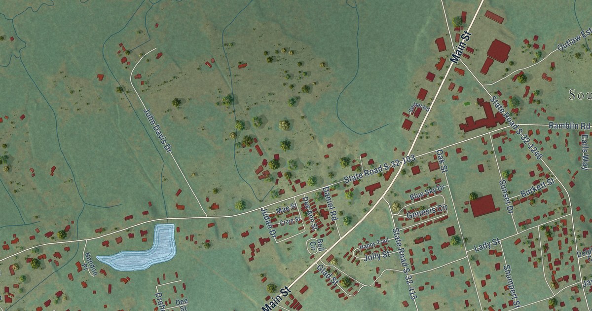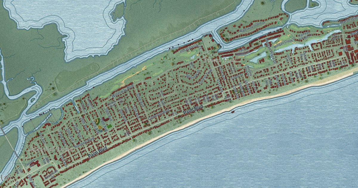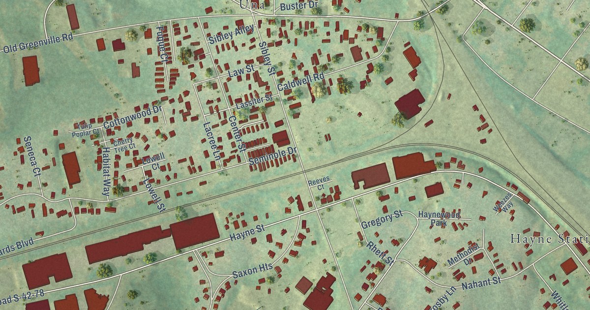
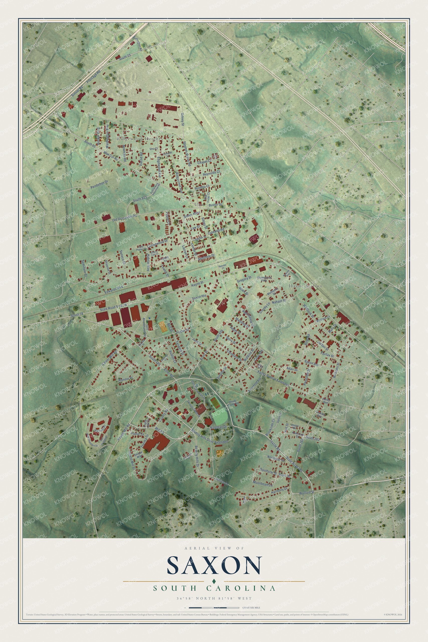
This beautifully detailed map of Saxon, South Carolina was created in 2026 using aerial imagery combined with modern topographical, census, street and landmark data. It's a modern aerial view of Saxon in Spartanburg County, South Carolina, that combines modern data with a vintage aesthetic. The roads feature printed names, and if you look closely you can find your exact house accurately shown in its correct location.
Explore an aerial view of Saxon, South Carolina
On this map you'll find Una, Hayne Station, Ridgewood Heights, Simuel Road, South 23, South 605, County Road, State Road 485, Textile Road, Mill Road, Powell Mill Road, South 485, and more. Each red shape is a building, so zoom in on the preview and look for yours.
Saxon is a community in Spartanburg County. The Census Bureau counted 3,896 people here in 2020. Saxon sits about 2 miles southeast of Southern Shops, 3 miles northwest of Spartanburg and 3 miles east of Fairforest. The map prints the town name in its title panel, with the coordinates below it.
Take a closer look at the Saxon map
Names on this map
These names are printed on this map.
Places: Una, Hayne Station, Ridgewood Heights and Haynewood Park.
Streets and roads: Simuel Road, South 23, South 605, County Road, State Road 485, Textile Road, Mill Road, Powell Mill Road, South 485, Beverly Hills Drive, Ethel Road, South 65.
More street names, A to Z
Adair Drive, Adger Street, Anderson Street, Avalon Court, Bell Street, Beverly Hills Drive Extended, Booker Boulevard, Brookside Circle, Buffington Road, Buster Drive, Caldwell Road, Camellia Lane, Carver Mill Road, Case Avenue, Center Street, Chapel Court, Cherry Tree Court, Chrisben Drive, Cleveland Street, Cooksey Avenue, Cottonwood Drive, Crosby Lane, Darryl Windham Drive, East Chatelain Drive, Edgewood Avenue, Edwards Boulevard, Euclid Road, Fairfax Street, Farley Avenue, Farley Avenue Extended, Five Forks Court, Forest Mill Street, Foster Street, Frontage Road, Front Street, Fuque Court, Genoble Street, George Fields Drive, Godfrey Court, Gregory Street, Habitat Way, Harmony Drive, Hartnett Drive, Hayne Street, Holt Street, Jack Rhodehamel Drive, Joann Drive, Jordan Street, Judd Street, Justice Drive, Kingman Drive, Labon Drive, Lacree Lane, Lassiter Street, Law Street, Lowell Court, Lowell Street, Luna Lane, Manning Street, Methodist Drive, Moonbeam Lane, Nahant Street, New Cut Road, Newman Road, Northstar Street, Old Greenville Road, Pendelton Drive, Pioneer Place, Poplar Lane, Poplar Leaf Drive, Randolph Street, Reeves Court, Reynolds Court, Rhett Street, Ridgecrest Avenue, Robinsview Lane, Rosetta Court, Ross Road, Ruby Drive, Satterfield Avenue, Saxon Avenue, Saxon Heights, Seminole Court, Seminole Drive, Seneca Court, Serene Court, Shady Creek Road, Shawnee Street, Sibley Alley, Sibley Street, Sidney Street, Smythe Street, South 78, South 262, South 263, South 923, Southstar Street, South Street, Spartanburg Industrial Road, State Road S-42-78, Stephen Grove Road, Story Street, Tennent Street, Thelma Drive, Tulip Poplar Court, Una Court, Unique Way, Upton Street, Washington Way, Watkins Street, Weezes Way, West Chatelain Drive, Whitlock Lane, Whitlock Street, Williams Street, Wofford Street.
See it on a wall
The Saxon map as a framed print. Swipe for more.


Created by KNOWOL in 2026. The buildings are small red shapes, the roads carry their printed names, and shaded relief shows the shape of the land. The title panel reads "AERIAL VIEW OF SAXON, SOUTH CAROLINA" with 34°58' NORTH 81°58' WEST.
It looks right in a kitchen, an office or a den, and it's a gift for anyone who grew up in Saxon or moved away. Open the preview and find your street. See sizes and frames for the Saxon map.