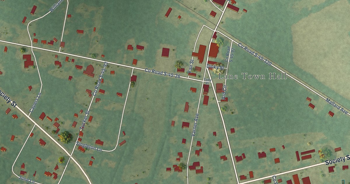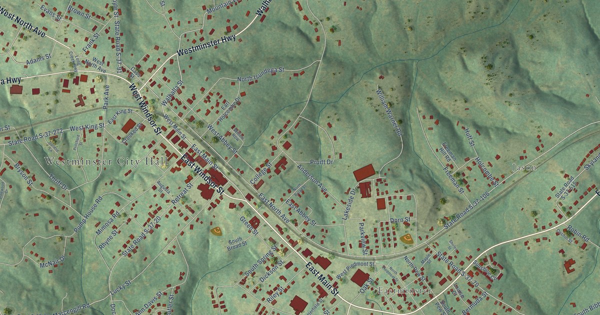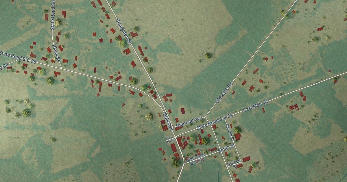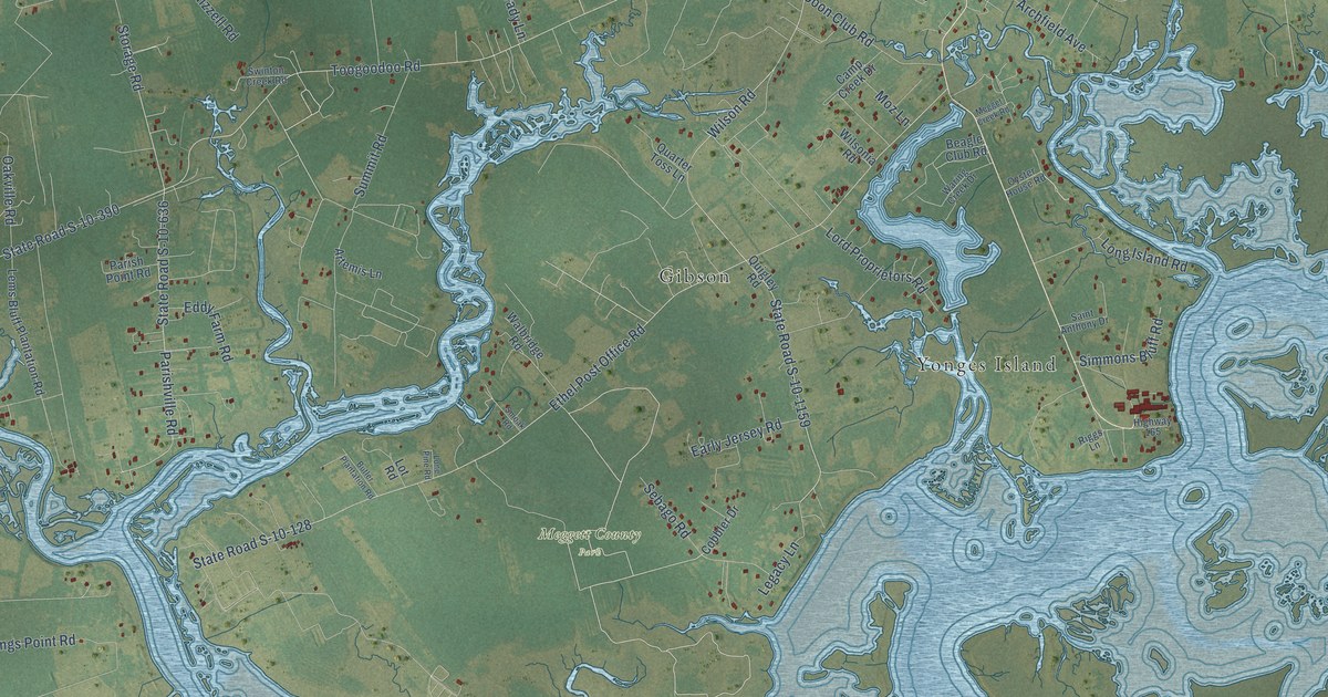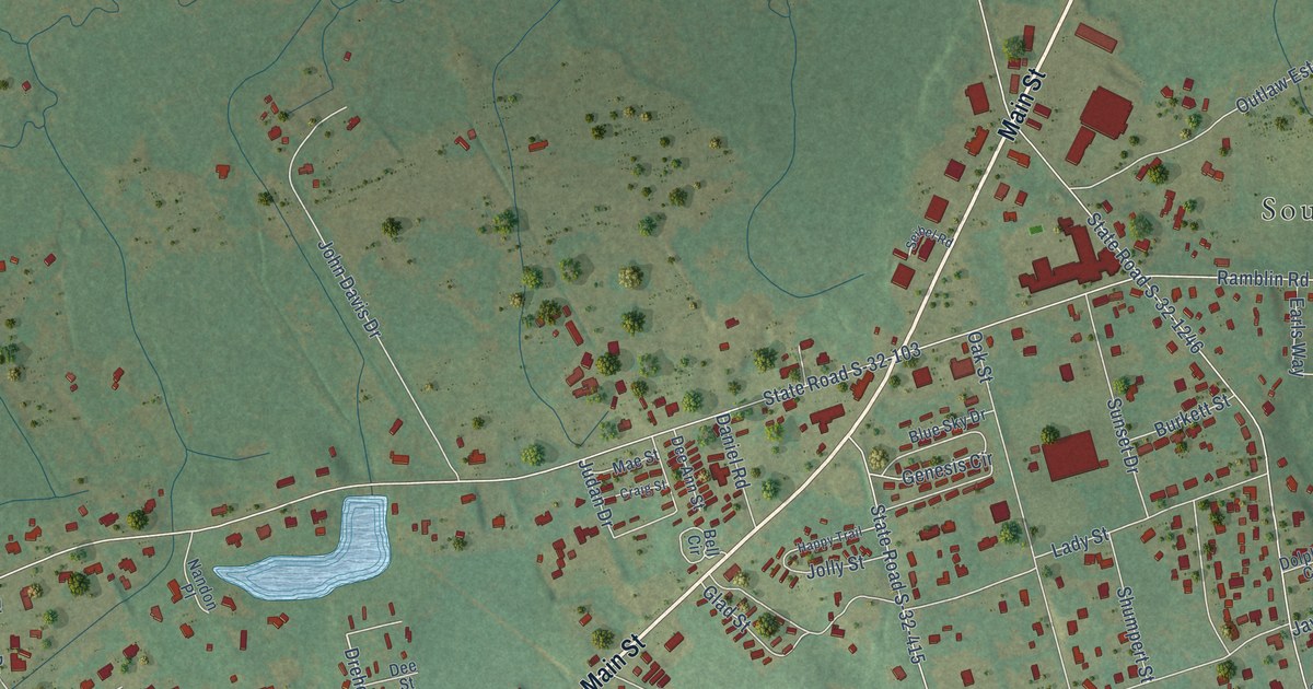
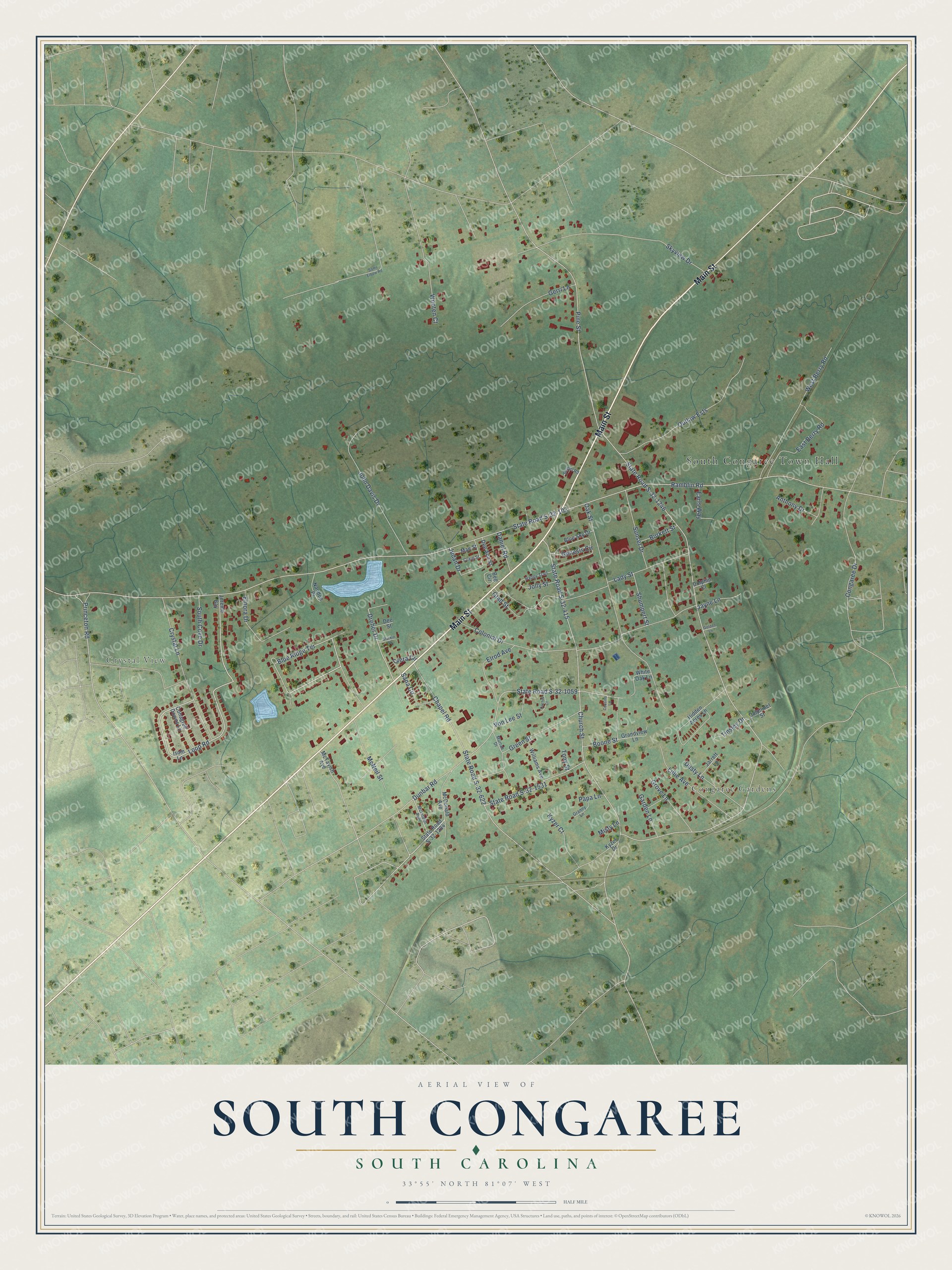
This beautifully detailed map of South Congaree, South Carolina was created in 2026 using aerial imagery combined with modern topographical, census, street and landmark data. It's a modern aerial view of South Congaree in Lexington County, South Carolina, that combines modern data with a vintage aesthetic. The roads feature printed names, and if you look closely you can find your exact house accurately shown in its correct location.
Explore an aerial view of South Congaree, South Carolina
On this map you'll find South Congaree Town Hall, Crystal View, Congaree Gardens, Main Street, Blue Ridge Terrace, Loop Road, Dreher Drive, Ramblin Road, State Road S-32-103, Pine Street, State Road S-32-1246, Church Street, and more. Each red shape is a building, so zoom in on the preview and look for yours.
Here is a piece of South Congaree history, in the words of the record. The Lexington County Chronicle puts it this way: "The area grew somewhat, and by the mid-twentieth century, residents grew concerned that they would be annexed into Cayce. To stop this from happening residents within a one-mile radius of the JJ Chavis Grocery decided to hold a vote on becoming their own municipality on August 8, 1957, with Charlie Costner being elected mayor."
South Congaree is a town in Lexington County. The Census Bureau counted 2,377 people here in 2020.
Take a closer look at the South Congaree map
Names on this map
These names are printed on this map.
Places: South Congaree Town Hall, Crystal View and Congaree Gardens.
Streets and roads: Main Street, Blue Ridge Terrace, Loop Road, Dreher Drive, Ramblin Road, State Road S-32-103, Pine Street, State Road S-32-1246, Church Street, State Road S-32-415, State Road S-32-1059, Dunbar Road.
More street names, A to Z
Anthony Drive, Bell Circle, Blue Sky Drive, Boone Street, Burkett Street, Cactus Court, Chapel Road, Ciera Circle, Colonial Drive, Conagree Downs Lane, Congaree Drive, Cousins Lane, Craig Street, Crystal Lane, Daniel Road, Dee Ann Street, Dee Street, Dolphin Court, Dolphinet Street, Dusty Lane, Earls Way, East Berry Road, Elnora Drive, Elrod Avenue, Garden Lane, Genesis Circle, Gerri Lane, Glad Street, Golden Lane, Grandview Lane, Granny Lane, Green Street, Grove Lane, Happy Trail, Hidden Acres Lane, Isom Lane, Jarrett Lane, Jayne Lane, Jereme Bay, John Davis Drive, Jolly Street, Judan Drive, Kyzer Court, Kyzer Drive, Lady Street, Lillie Avenue, Mae Street, McDonald Avenue, McIntosh Avenue, McNeil Street, McTavish Avenue, Misty Lane, Murrah Drive, Nandon Place, Oak Street, Outlaw Ests, Papa Lane, Princeton Road, Sams Elbow Road, Sana Circle, Seibel Road, Shumpert Street, Skyview Drive, South Cove Drive, State Road S-32-622, State Road S-32-1284, State Road S-32-1531, Sturkie Square, Sunset Drive, Tinsley Drive, Tony Street, Von Lee Street, West Berry Road, White Oak Lane, Williams Avenue, Wooten Court.
Created by KNOWOL in 2026. The buildings are small red shapes, the roads carry their printed names, and shaded relief shows the shape of the land. The title panel reads "AERIAL VIEW OF SOUTH CONGAREE SOUTH CAROLINA" with 33°55' NORTH 81°07' WEST.
It suits a den, a classroom or a front hall, and it makes a gift for anyone with South Congaree roots. Open the preview and find the block you know. See sizes and frames for the South Congaree map.