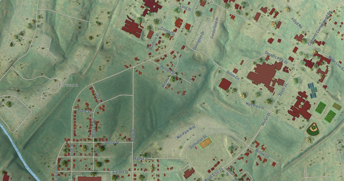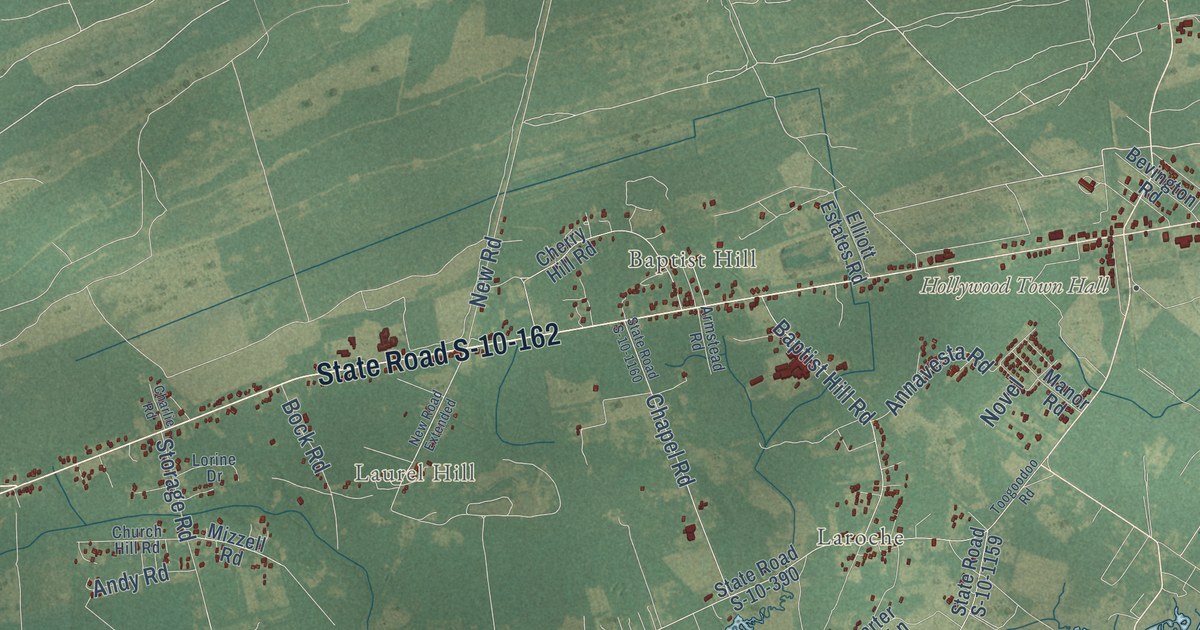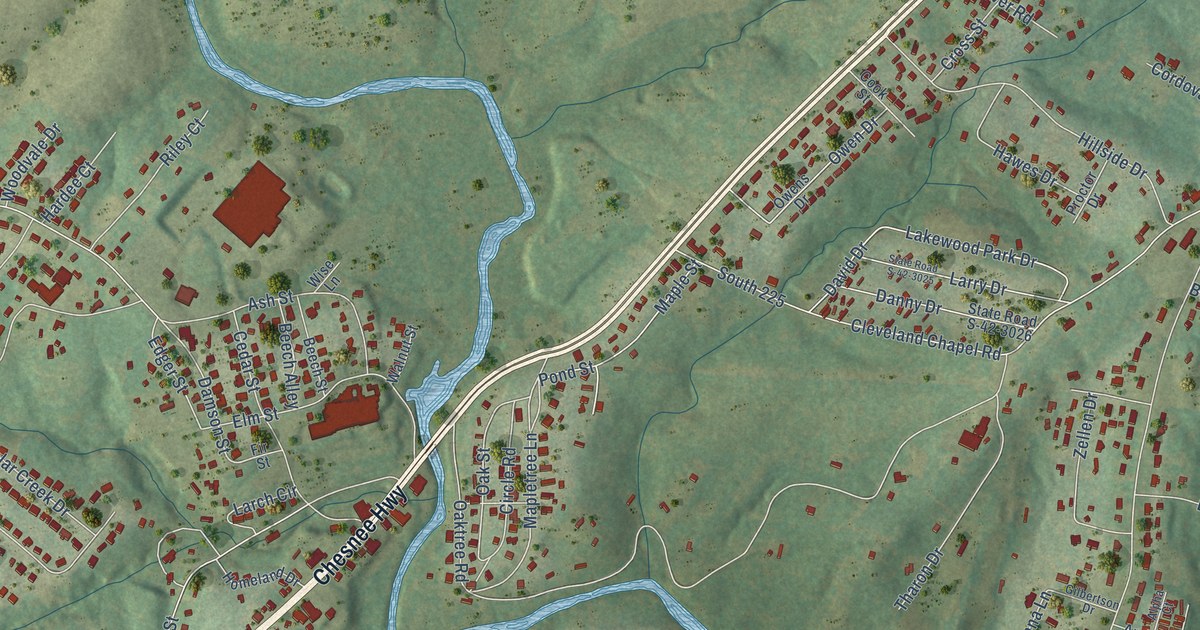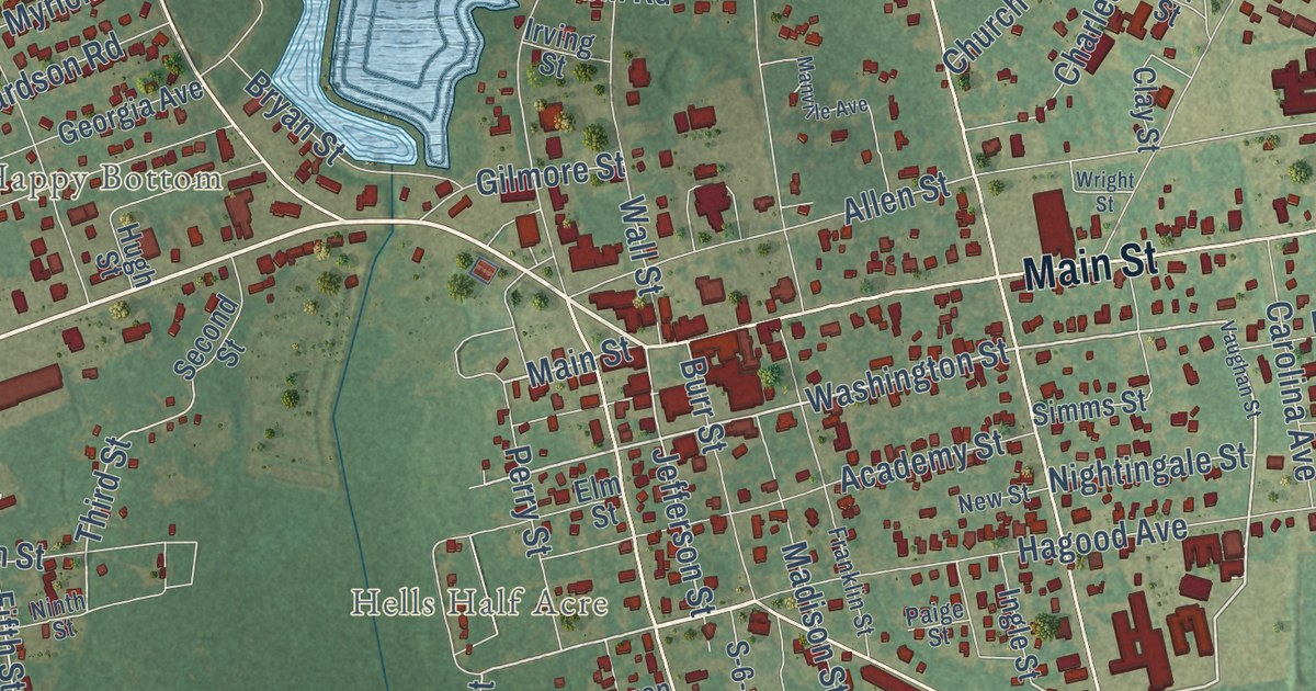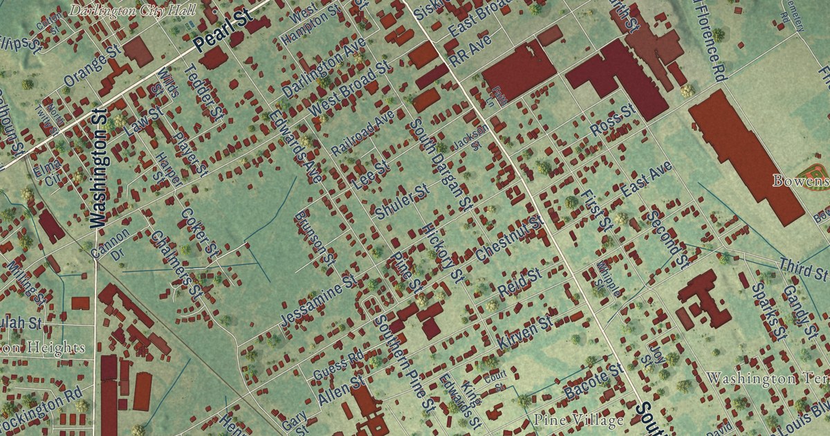
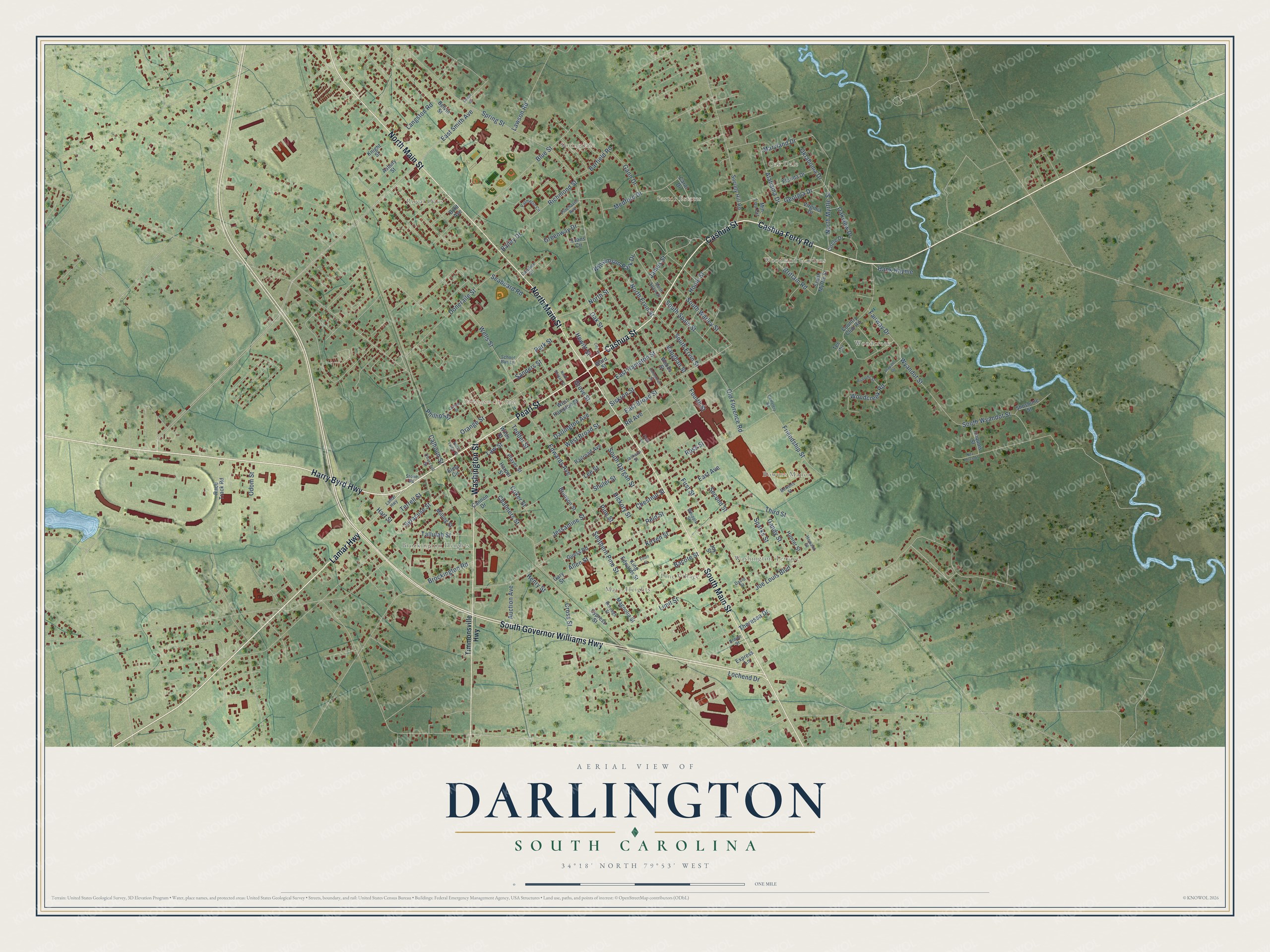
This beautifully detailed map of Darlington, South Carolina was created in 2026 using aerial imagery combined with modern topographical, census, street and landmark data. It’s a one-of-a-kind view of Darlington that combines accurate data with a vintage aesthetic. The map shows every building in its true location, many of the roads carry their names, and the shaded topographic relief shows the shape of the land.
Explore an aerial view of Darlington, South Carolina
On the map you’ll find Darlington City Hall, Bowens Manor, Mayo Heights, Oak Dale, Pine Village, Royal Oaks, Sartor Estates, Springdale, Woodcreek, and Woodland Gardens, along with Washington Terrace, Cashua Ferry Road, and more. If you look closely you can even find your house accurately drawn in its correct location. Zoom in on the preview to look for yours.
Did you know this piece of Darlington, South Carolina history?
From Scencyclopedia.org: "On May 7, 1883, residents chartered the Darlington Manufacturing Company, the town’s first textile mill."
Take a closer look at the Darlington map
Street and place names on the Darlington, South Carolina map
These names are printed on the map of Darlington, South Carolina.
Places: Darlington City Hall, Oak Dale, Brockington Heights, Bowens Manor, Royal Oaks, Springdale, Woodcreek, Pine Village, Washington Terrace, Woodland Gardens, Sartor Estates and Mayo Heights.
Streets and roads: Cashua Ferry Road, Pearl Street, Cashua Street, Harry Byrd Highway, Lamar Highway, North Main Street, South Main Street, South Governor Williams Highway, Washington Street, Georgia Drive, Alabama Drive, East Broad Street.
More street names, A to Z
Allen Street, Arapaho Circle, Asbury Street, Auction Avenue, Bacote Street, Bailey Drive, Barfield Road, Belvin Street, Blue Street, Borough Street, Bowens Street, Brittain Road, Brockington Road, Brown Street, Brunson Street, Byrd Avenue, Calhoun Street, Cannon Drive, Carol Drive, Caroline Circle, Cemetery Road, Chalmers Street, Chestnut Street, Churchill Street, Circle Drive, City Lane, Coker Street, Columbian Street, Cotton Street, Country Club Road, Court Street, Cross Street, Cypress Street, Darlington Avenue, David Street, Doneraile Street, East Avenue, East Hampton Street, East Smith Avenue, Edwards Avenue, Elma Circle, Evans Circle, Express Lane, Fairway Drive, Faith Lane, First Street, Florida Drive, Fourth Street, Friendship Street, Gandy Street, Gann Drive, Gary Street, Grace Street, Greenway Drive, Grove Street, Guess Road, Hank Haynie, Harper Street, Hart Street, Henry Street, Hewitt Street, Hickory Street, Hoole Street, Howard Street, Hunter Street, Iroquois Street, Jackson Street, James Street, Jessamine Street, Joe Louis Boulevard, Joy Street, King Edwards Street, Kirven Street, Knight Street, Langston Road, Lawson Road, Law Street, Lee Street, Limit Street, Lochend Drive, Magnolia Street, Maryland Drive, Medford Drive, Milling Street, Min Lou Circle, Nez Perce Street, North Dargan Street, North Ervin Street, North Myrtle Street, North Spain Street, North Street, North Twitty Street, Oak Street, Oakview Drive, Odom Street, Oklahoma Drive, Old Florence Road, Orange Street, Palmetto Circle, Park Street, Phillips Street, Pinehaven Avenue, Pine Street, Player Street, Race Track Road, Railroad Avenue, Reid Street, Richmond Street, Roanoke Street, Ross Street, RR Avenue, Sanders Street, School Bus Lane, Seaboard Road, Second Street, Shoshone Street, Shuler Street, Siskron Street, Society Hill Road, South Dargan Street, Southern Pine Street, South Ervin Street, South Myrtle Street, South Spain Street, South Warley Street, South Wyandot Street, Sparks Street, Spring Street, Stone Road, Syracuse Street, Tallulah Street, Tedder Street, Tee Circle, Terrell Street, Theressa Drive, Third Street, Timmonsville Highway, Vaughan Street, Virginia Drive, Ward Street, Wells Street, West Broad Street, West Hampton Street, Whipple Street, Wilds Street, Williamson Park Drive, Woodcreek Road, Woods Street, Wyandot Street.
See the Darlington, South Carolina map on a wall
The Darlington map as an 18 x 24 inch print in a black frame.

This beautifully detailed map of Darlington makes an attractive addition to your office, library, or den, and it can even be used to teach children the geography and history of the area. It also makes a great gift for anyone with Darlington roots. When you’re done exploring, click here to get your copy of the Darlington map.