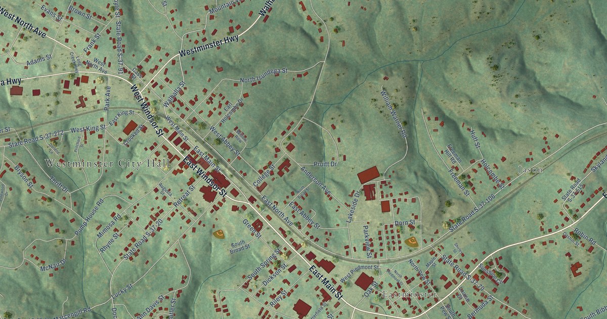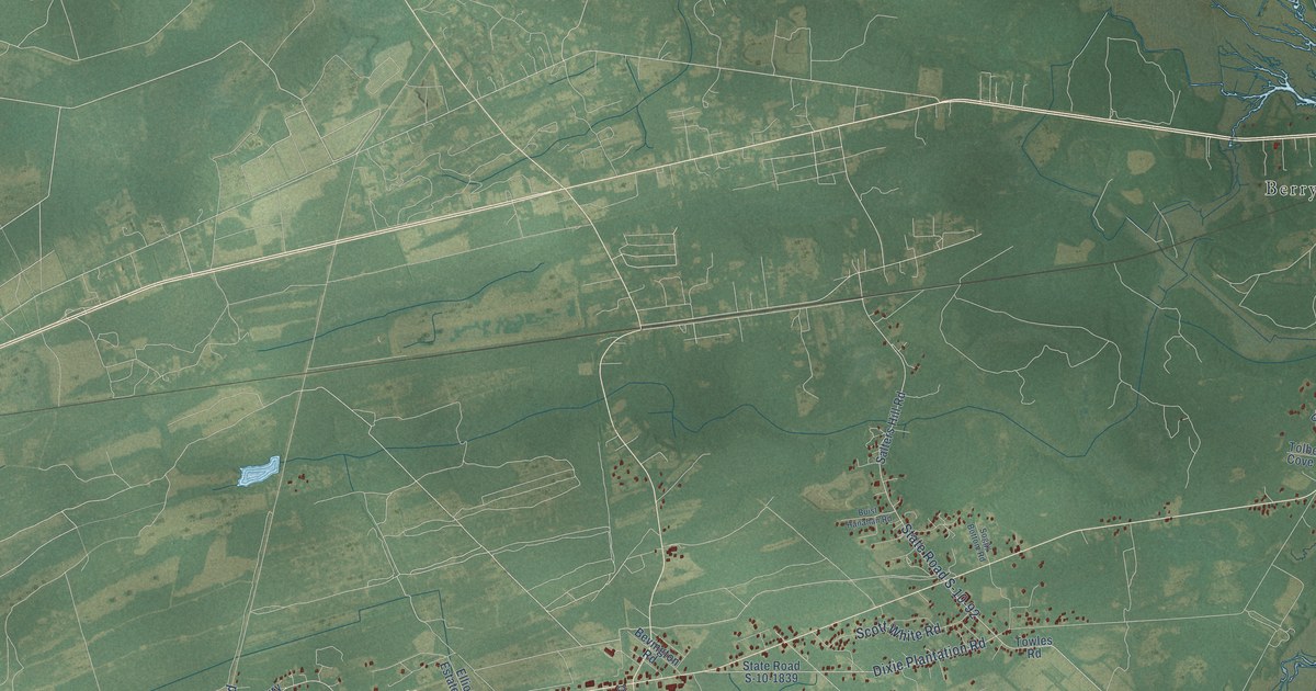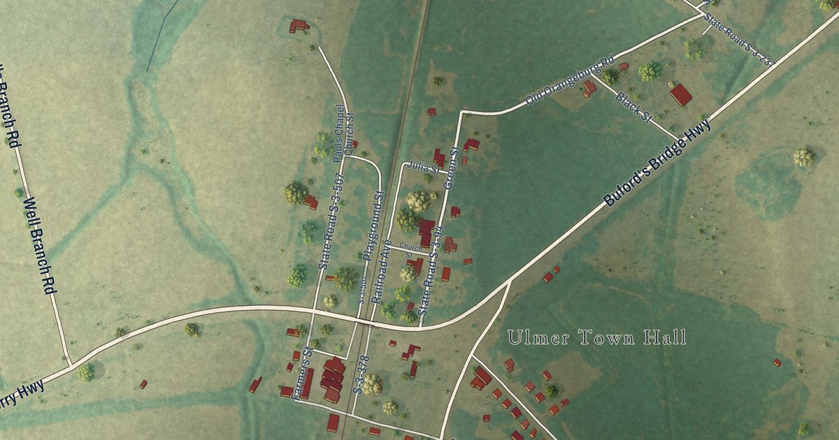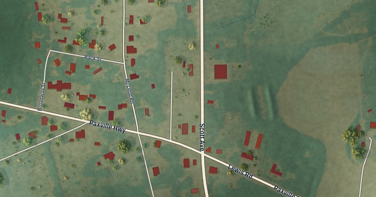
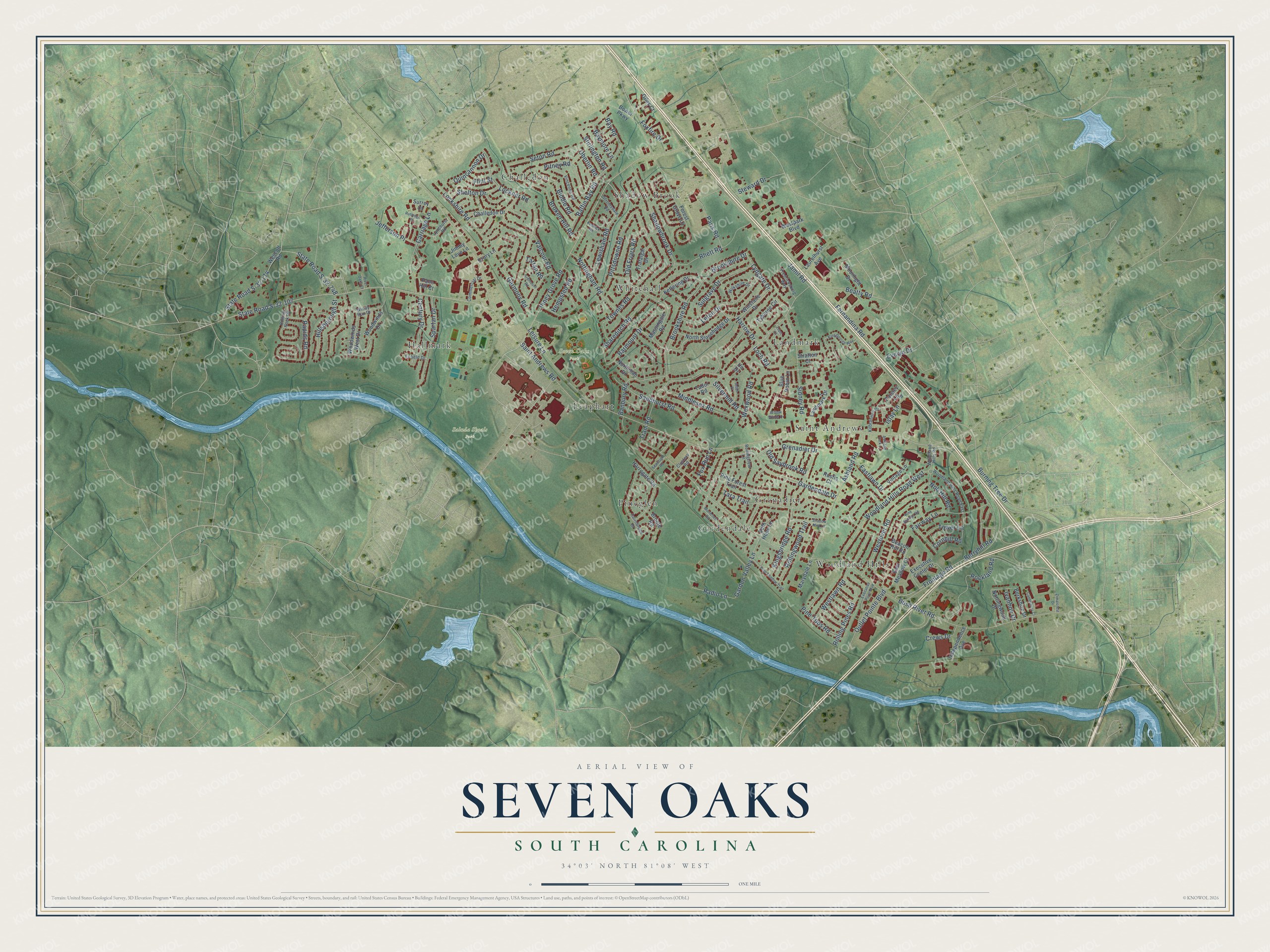
This beautifully detailed map of Seven Oaks, South Carolina was created in 2026 using aerial imagery combined with modern topographical, census, street and landmark data. It's a modern aerial view of Seven Oaks in Lexington County, South Carolina, that combines modern data with a vintage aesthetic. The roads feature printed names, and if you look closely you can find your exact house accurately shown in its correct location.
Explore an aerial view of Seven Oaks, South Carolina
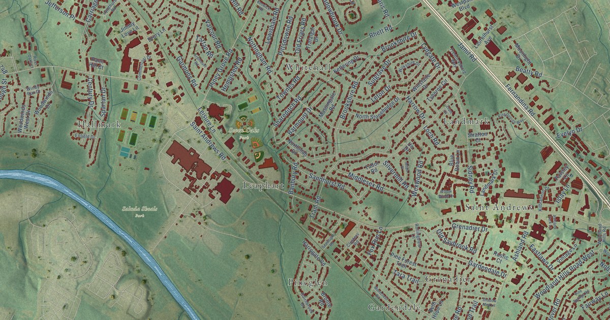
On this map you'll find Saluda Shoals Park, Seven Oaks Park, Challedon, Gardendale, Grenadier, Hallmark, Landmark, Leaphart, Pineglen, Saint Andrews, Shadow Brook, Whitehall, and more. Each red shape is a building, so zoom in on the preview and look for yours.
Here is a piece of Seven Oaks history, in the words of the record. The Irmo Chapin Recreation Commission puts it this way: "Built in 1973 and located at 200 Leisure Lane in the St. Andrews area, Seven Oaks Park (SOP) is a full-service recreation complex offering fitness, athletics, instructional and cultural arts programs to the Irmo community."
Seven Oaks is a community in Lexington County. The Census Bureau counted 14,652 people here in 2020.
Take a closer look at the Seven Oaks map
Names on this map
These names are printed on this map.
Places: Saluda Shoals Park, Seven Oaks Park, Challedon, Gardendale, Grenadier, Hallmark, Landmark, Leaphart, Pineglen, Saint Andrews, Shadow Brook, Whitehall and Woodland Hills.
Streets and roads: Saint Andrews Road, Piney Grove Road, Burning Tree Drive, Fernandina Road, Frontage Road, Sandhurst Road, Lydgate Drive, Bush River Road, Jamil Road, State Road S-32-107, Tram Road, Berryhill Road.
More street names, A to Z
Alton Place, Ardmount Road, Ashland Park Lane, Ashland Road, Baffin Bay Road, Banbury Road, Barmount Drive, Baymore Lane, Bay Road, Beacon Hill Road, Beatty Road, Berkshire Drive, Beth Hope Lane, Biddle Road, Blue Robin Lane, Bower Parkway, Broken Hill Road, Bronte Road, Brookshire Drive, Brookshire Road, Cairnbrook Drive, Canterbury Court, Carriage Lane, Century Drive, Challedon Drive, Clusters Road, Commercial Drive, Cornhill Road, Crews Drive, Drury Lane, Eastlawn Drive, East Meadow Court, Enfield Drive, Evelyn Drive, Executive Center Drive, Executive Point Boulevard, Fairway Lane, Flint Street, Forest Grove Lane, Foxfire Drive, Fox Run Lane, Fredricksburg Way, Gardendale Drive, Garden Valley Lane, Garmony Road, Giles Court, Grenadier Drive, Harrogate Road, Harrow Drive, Hempsted Road, Hillsborough Street, Independence Avenue, Islay Lane, Ivanhoe Drive, Jefferson Place, Jimmy Love Lane, Keswick Road, Kettering Drive, Kilbrannon Drive, King George Way, Kingsbridge Road, Landmark Drive, Laurelhurst Avenue, Leisure Lane, Leton Drive, Lewisham Road, Loch Road, Lockner Road, Lockshire Road, Lyndhurst Road, Marydale Lane, Massingale Road, Middlesex Road, Montcrest Road, Moonlight Drive, Nob Hill Road, Northman Drive, North Stonehedge Drive, Nottingham Road, Nottingwood Drive, Oberlin Road, Old Friars Road, Old Saybrook Road, Outlet Pointe Boulevard, Paisley Lane, Palm Hill Court, Paris Road, Pine Forest Trail, Pine Shadow Trail, Pine Springs Road, Pine Tops Road, Pitney Road, Pittsdowne Road, Quincannon Drive, Radio Lane, Rapids Road, Rhett Road, River Oaks Court, Rockland Road, Rolling Pines Road, Rolling Rock Road, Rollingview Lane, Rollingwood Trail, Rustic Court, Rutledge Place, Seawright Road, Seton Road, Shadowbrook Drive, Shadow Mist Lane, Shareditch Road, Shelton Drive, Sidney Road, Silvermill Road, Spartan Drive, State Road S-32-174, State Road S-32-748, Steward Drive, Stirlington Road, Stratton Court, Stromsdale Road, Sulgrave Drive, Surrey Court, Tara Trail, Tartan Road, Tower Lane, Townes Road, Trafalgar Drive, Tram Court, Tudor Road, Tyborne Circle, Un Drive, Valcour Road, Vincenne Road, Vintage Lane, Wescott Road, Westlawn Road, Westover Road, Westpark Boulevard, Wexwood Road, Wilkshire Drive, Willow Winds Drive, Windy Run Drive, Winstaire Drive, Woodland Hills Road, Woodland Hills Road East, Woodland Hills Road West, Woodwinds Drive, Woodwinds West Drive, Zimalcrest Drive.
Created by KNOWOL in 2026. The buildings are small red shapes, the roads carry their printed names, and shaded relief shows the shape of the land. The title panel reads "AERIAL VIEW OF SEVEN OAKS SOUTH CAROLINA" with 34°03' NORTH 81°08' WEST.
It suits a den, a classroom or a front hall, and it makes a gift for anyone with Seven Oaks roots. Open the preview and find the block you know. See sizes and frames for the Seven Oaks map.