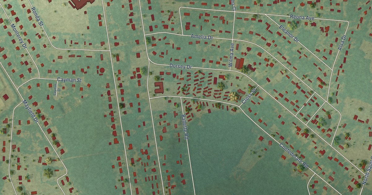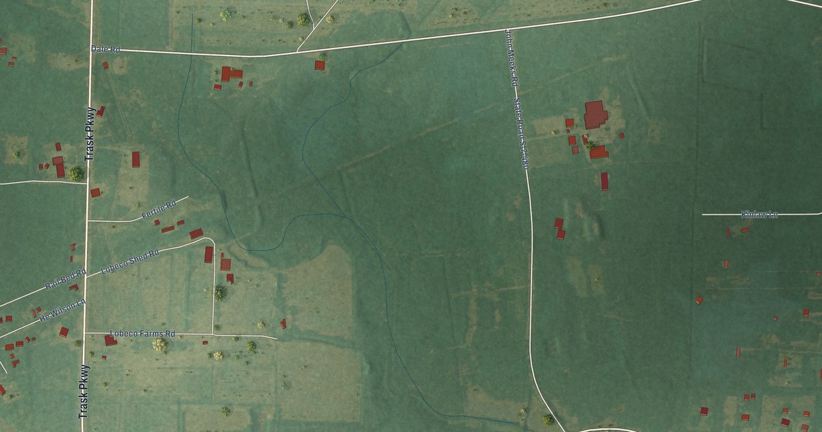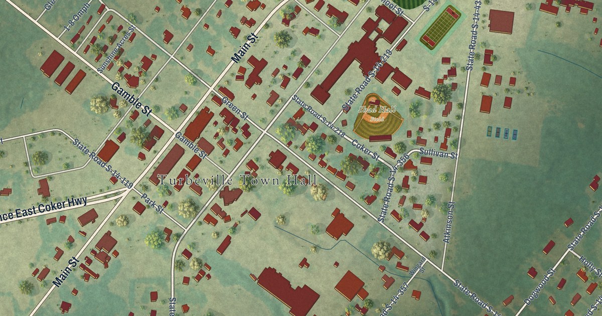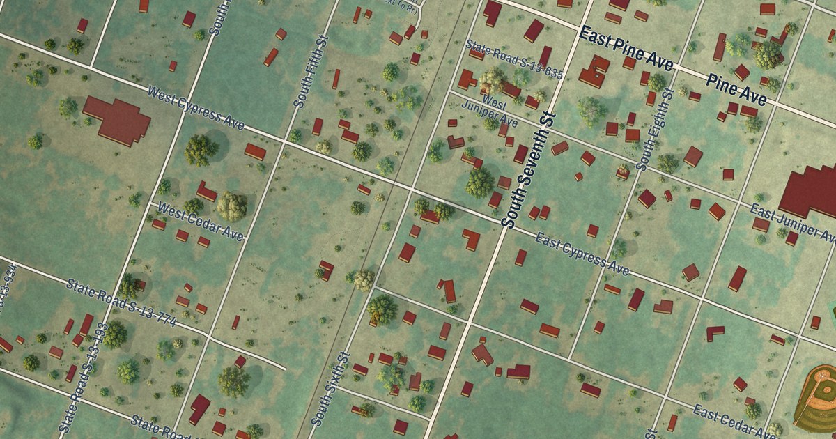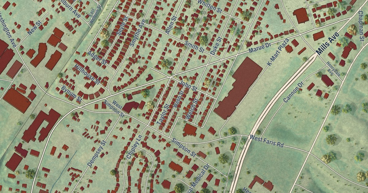
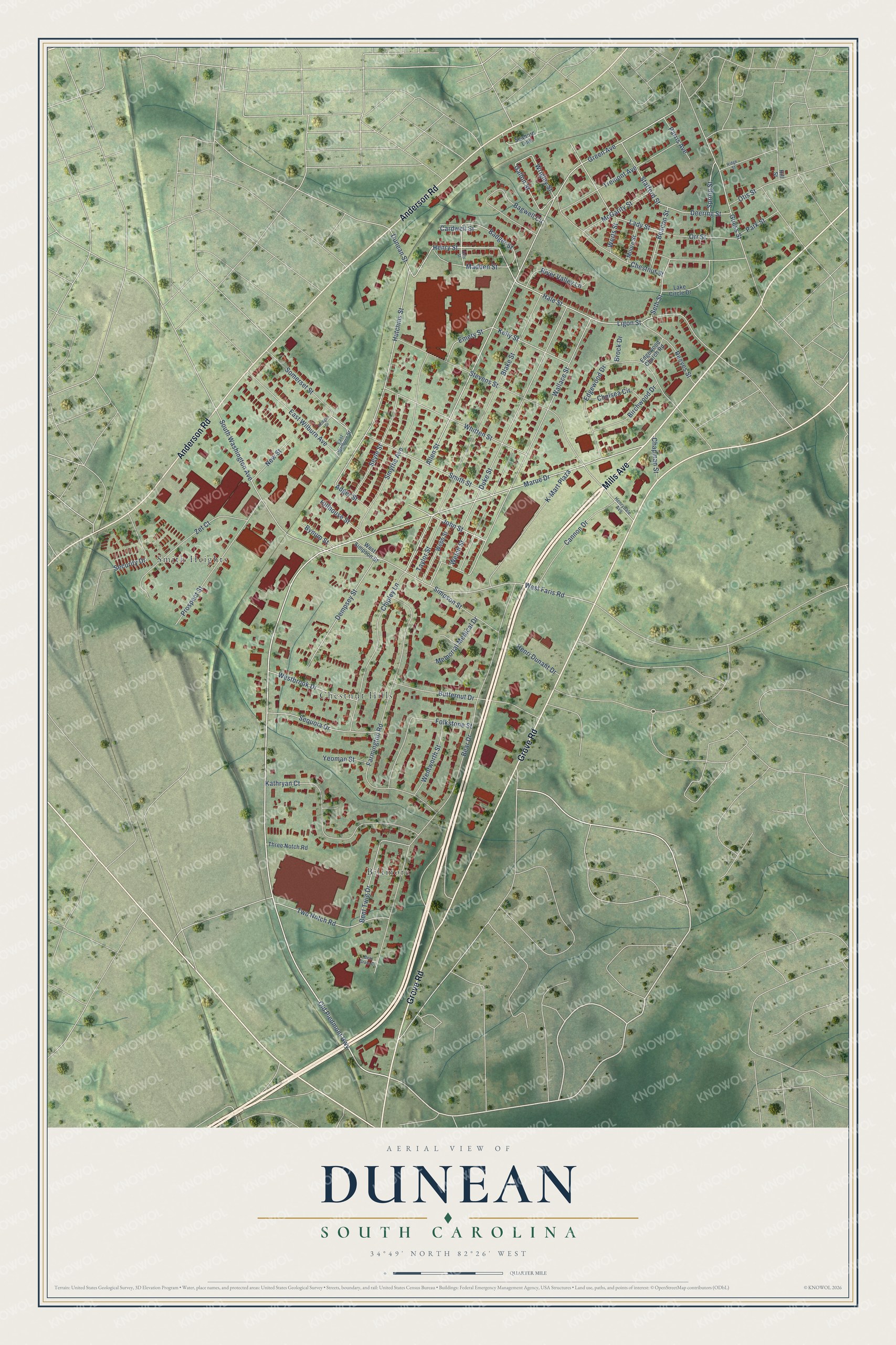
This beautifully detailed map of Dunean, South Carolina was created in 2026 using aerial imagery combined with modern topographical, census, street and landmark data. It's a modern aerial view of Dunean in Greenville County, South Carolina, that combines modern data with a vintage aesthetic. The roads feature printed names, and if you look closely you can find your exact house accurately shown in its correct location.
Explore an aerial view of Dunean, South Carolina
On this map you'll find Chestnut Hills, Biltmore, Smith Heights, Anderson Road, Grove Road, Mills Avenue, Old Piedmont Highway, Allen Street, Marue Drive, Taylor Street, John Street, Seth Street, and more. Each red shape is a building, so zoom in on the preview and look for yours.
Dunean is a community in Greenville County. The Census Bureau counted 3,740 people here in 2020. Dunean sits about 3 miles southeast of Parker, 3 miles northwest of Gantt and 3 miles east of Welcome. The map prints the town name in its title panel, with the coordinates below it.
Take a closer look at the Dunean map
Names on this map
These names are printed on this map.
Places: Chestnut Hills, Biltmore and Smith Heights.
Streets and roads: Anderson Road, Grove Road, Mills Avenue, Old Piedmont Highway, Allen Street, Marue Drive, Taylor Street, John Street, Seth Street, Green Avenue, Hutchins Street, Hale Street.
More street names, A to Z
Adger Street, Badger Street, Bagwell Circle, Beacon Street, Bear Drive, Bear Grass Court, Bent Twig Drive, Birchwood Drive, Blake Street, Brock Drive, Butternut Drive, Bynum Street, Cannon Drive, Cardwell Street, Cely Street, Chapman Street, Chelsea Circle, Chestnut Street, Chipley Lane, Deering Street, Dempsey Street, Duke Street, Dunean Street, East Welburn Street, East Wilburn Avenue, Edgewood Church Road, Edgewood Drive, Emery Street, Farmington Road, Folkstone Street, Gallon Street, Guess Street, Henri Dunant Drive, Henrydale Avenue, Henry Street, Hillhouse Street, Hill Street, Hodges Drive, K-Mart Plaza, Kathryan Court, Kelly Street, Lady Street, Lake Circle Drive, Ligon Street, Madden Street, McGarity Street, Memorial Medical Drive, Moore Street, New Street, Orr Street, Otis Street, Park Street, Parris Avenue, Prospect Street, Reeves Street, Ridge Street, River Valley Lane, Seaborn Line, Security Drive, Sequoia Drive, Seyle Street, Simpson Street, Smith Street, Smythe Avenue, Somerset Street, South Washington Avenue, Spring Street, Stafford Street, Stevens Street, Three Notch Road, Tremont Avenue, Two Notch Road, Wallace Street, Webb Street, Welch Street, Wentworth Street, Werts Street, Westbrook Drive, West Faris Road, West Simpson Street, Whitten Street, Wrigley Street, Yeoman Street, Zet Court.
See it on a wall
The Dunean map as a framed print. Swipe for more.


Created by KNOWOL in 2026. The buildings are small red shapes, the roads carry their printed names, and shaded relief shows the shape of the land. The title panel reads "AERIAL VIEW OF DUNEAN, SOUTH CAROLINA" with 34°49' NORTH 82°26' WEST.
Hang it in the hallway, the office or the cabin, or give it to someone who left Dunean and still calls it home. Open the preview and look for a street you know. See sizes and frames for the Dunean map.