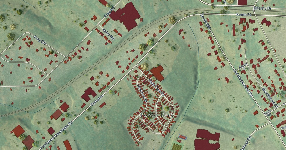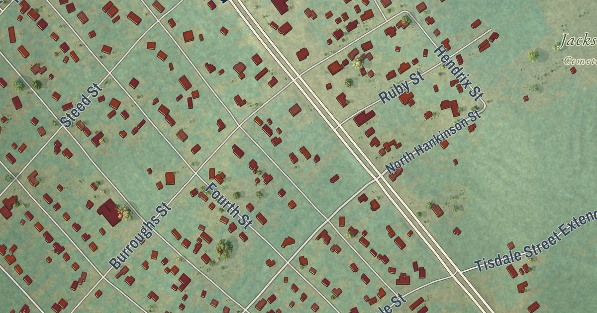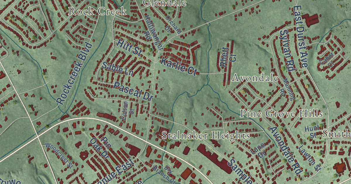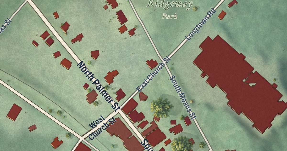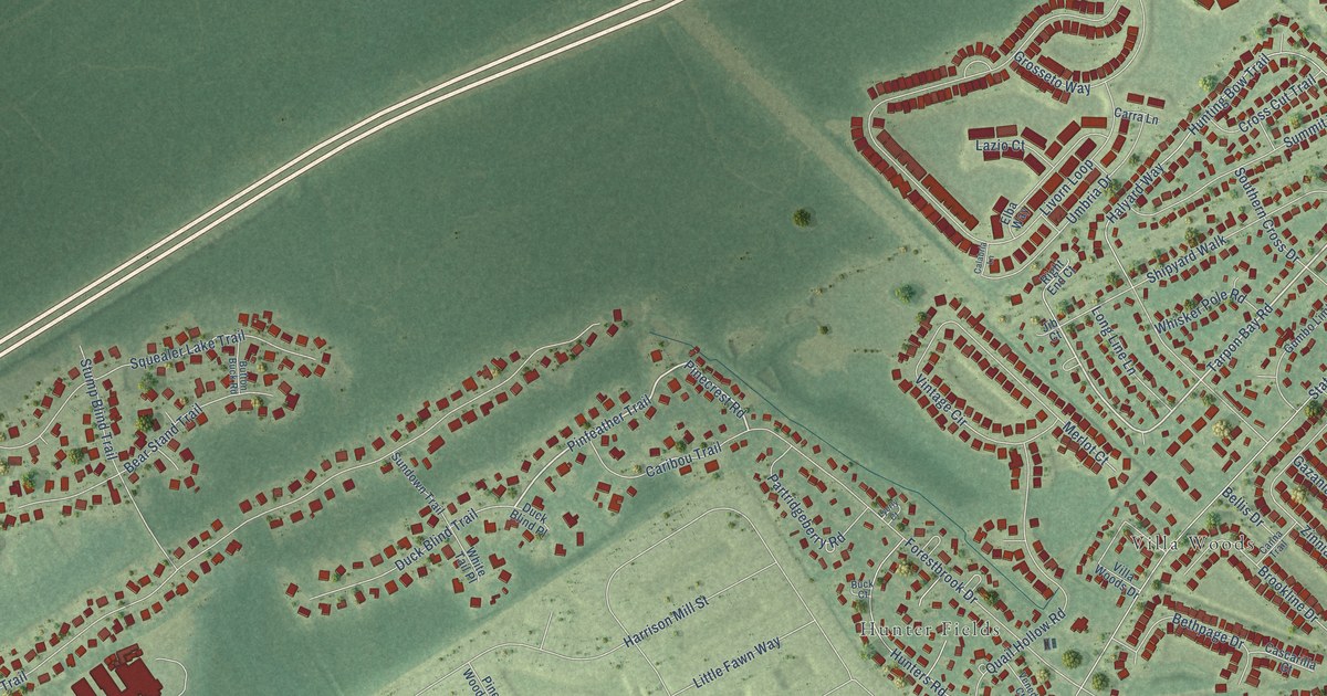
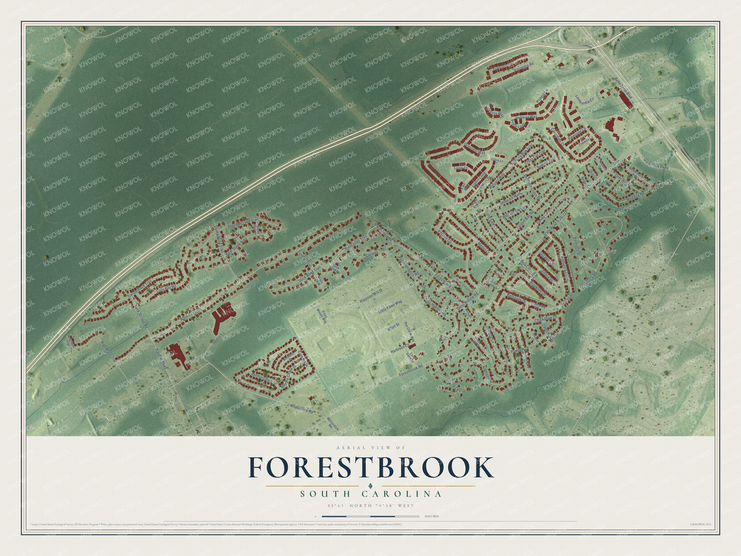
This beautifully detailed map of Forestbrook, South Carolina was created in 2026 using aerial imagery combined with modern topographical, census, street and landmark data. It’s a one-of-a-kind view of Forestbrook that combines accurate data with a vintage aesthetic. The map shows every building in its true location, many of the roads carry their names, and the shaded topographic relief shows the shape of the land.
Explore an aerial view of Forestbrook, South Carolina
On the map you’ll find Cypress Creek, Tarpon Bay, Pinelands, Brookgate, Villa Woods, Hunter Fields, and Rock Smith Farms, along with Tarpon Bay Road, Pinfeather Trail, Pistoia Lane, Pinecrest Road, Volterra Way, and more. If you look closely you can even find your house accurately drawn in its correct location. Zoom in on the preview to look for yours.
Did you know this piece of Forestbrook, South Carolina history?
From the Horry County Schools: "Forestbrook Elementary School is a 3 time National Blue Ribbon Award winning school. We won the National Blue Ribbon Award in 2001, 2003 and again in 2012."
Take a closer look at the Forestbrook map
Street and place names on the Forestbrook, South Carolina map
These names are printed on the map of Forestbrook, South Carolina.
Places: Cypress Creek, Tarpon Bay, Pinelands, Brookgate, Villa Woods, Hunter Fields and Rock Smith Farms.
Streets and roads: Tarpon Bay Road, Pinfeather Trail, Pistoia Lane, Pinecrest Road, Volterra Way, Corn Pile Road, Whatuthink Road, Steeple Chase Drive, Forestbrook Road, State Road S-26-137, Hunters Trail, Harbison Circle.
More street names, A to Z
Ambrosia Loop, Arezzo Way, Bear Stand Trail, Belle Terre Boulevard, Bellis Drive, Belmont Park Drive, Bethpage Drive, Brant Street, Brookgate Drive, Brookhill Drive, Brookline Drive, Buck Court, Buck Scrape Road, Button Buck Road, Calabria Lane, Camden Drive, Canna Trail, Canvasback Trail, Caribou Trail, Carlisle Way, Carra Lane, Cascarilla Court, Casentino Court, Chickasaw Lane, Cross Cut Trail, Deer Run Drive, Doctors Lane, Doe Court, Duck Blind Place, Duck Blind Trail, Elba Way, Firenze Loop, Forestbrook Drive, Gator Lane, Gazania Lane, Grand Palm Court, Gray Squirrel Drive, Grosseto Way, Gumbo Limbo Lane, Halyard Way, Hard Rock Parkway, Harrison Mill Street, Heron Circle, High Brass Trail, Holly Leaf Drive, Hummingbird Court, Hunters Road, Hunting Bow Trail, Jib Court, Jubilee Circle, Lazio Court, Limerick Road, Little Fawn Way, Livorn Loop, Loblolly Lane, Lombardia Circle, Long Cane Drive, Long Line Lane, Lyerly Court, Mallard Circle, McCormick Road, Merlot Court, Oonecan Court, Palmetto Street, Panther Parkway, Partridgeberry Road, Pawpaw Lane, Piemonte Lane, Piney Woods Way, Poe Creek Way, Prato Loop, Quail Circle, Quail Hollow Road, Red Fox Circle, Red Fox Road, Right End Court, Ringneck Trail, Saffron Court, Shipyard Walk, Southern Cross Drive, Squealer Lake Trail, Stump Blind Trail, Summit Trail, Sundown Trail, Tremiti Lane, Umbria Drive, Veneda Court, Viareggio Road, Villa Woods Drive, Vintage Circle, Whisker Pole Road, White Tail Place, Woodchuck Road, Zinnia Drive.
See the Forestbrook, South Carolina map on a wall
The Forestbrook map as an 18 x 24 inch print in a black frame.

This beautifully detailed map of Forestbrook makes an attractive addition to your office, library, or den, and it can even be used to teach children the geography and history of the area. It also makes a great gift for someone who left Forestbrook and still calls it home. When you’re done exploring, click here to get your copy of the Forestbrook map.