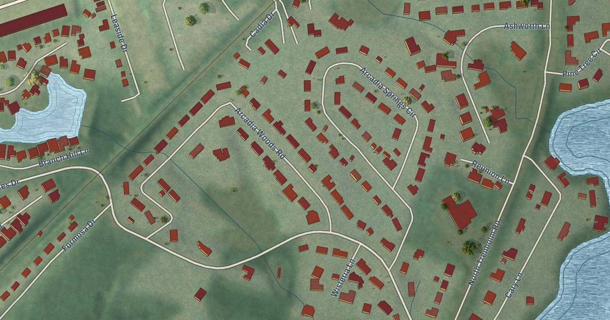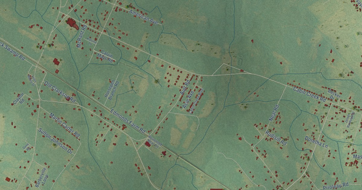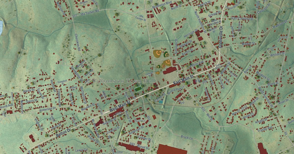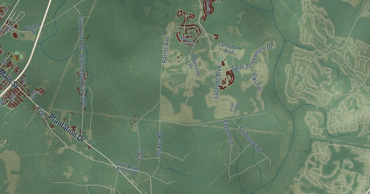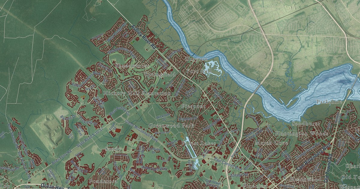
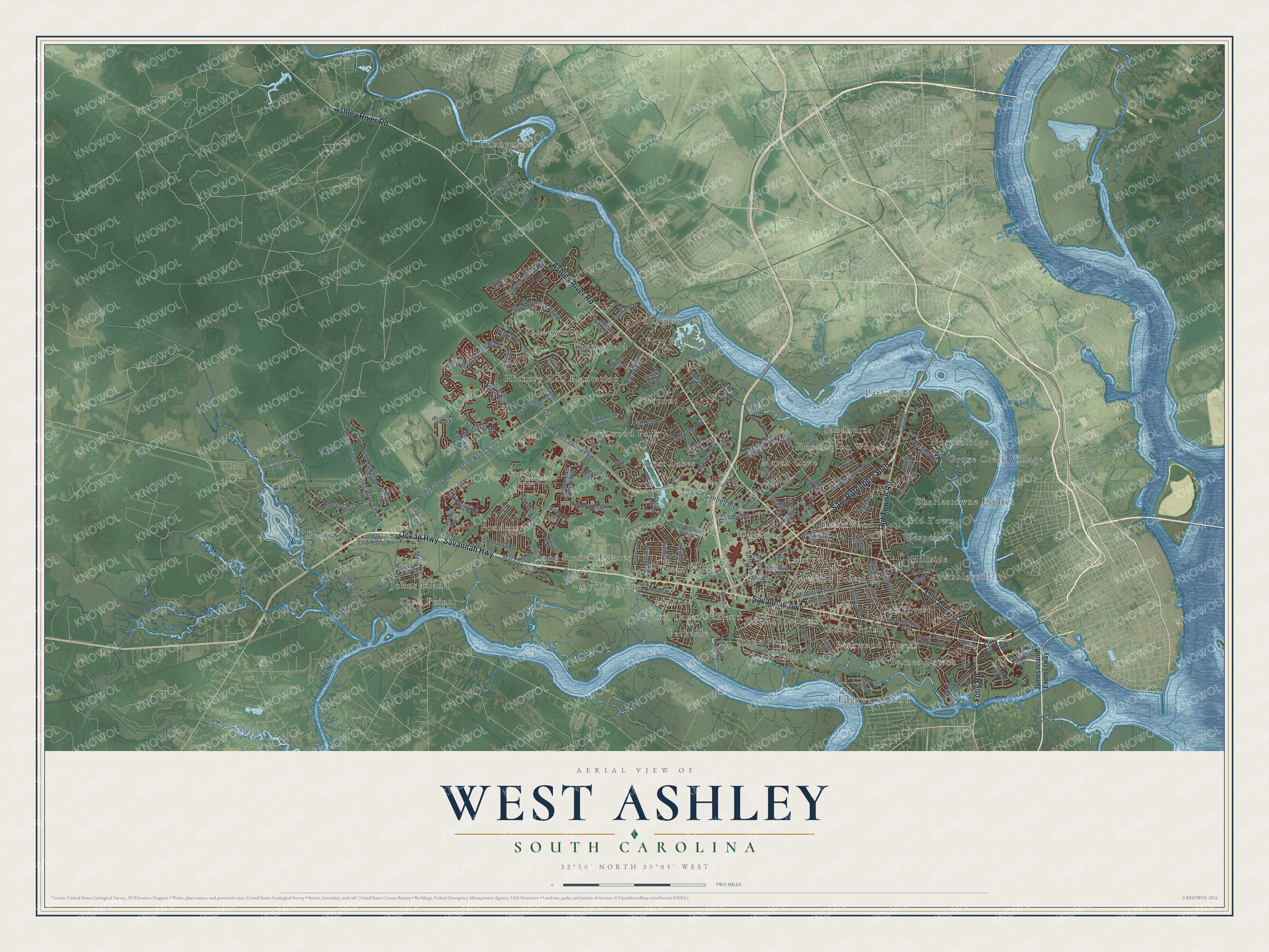
This beautifully detailed map of West Ashley, South Carolina was created in 2026 using aerial imagery combined with modern topographical, census, street and landmark data. It’s a one-of-a-kind view of West Ashley that combines accurate data with a vintage aesthetic. The map shows every building in its true location, many of the roads carry their names, and the shaded topographic relief shows the shape of the land.
Explore an aerial view of West Ashley, South Carolina
On the map you’ll find Runnymede, Red Top, Greenwood Park, Parkdale, Sandy, Old Town, Edgewater Park, Sherwood Forest, Drayton, Sandhurst, Hickory Hall Plantation, Essex Village, and more. If you look closely you can even find your house accurately drawn in its correct location. Zoom in on the preview to look for yours.
Did You Know?
Charleston was born in West Ashley. In 1670 English colonists made the first lasting Carolina settlement at Albemarle Point. Kiawah people guided them from their ship to good ground. In 1680 the town moved to the peninsula. The first site is now Charles Towne Landing, a state historic site.
Take a closer look at the West Ashley map
Names on this map
These names are printed on this map.
Places: Runnymede, Red Top, Greenwood Park, Parkdale, Sandy, Old Town, Edgewater Park, Sherwood Forest, Drayton, Sandhurst, Hickory Hall Plantation, Essex Village, Ponderosa, Capri Isles, Shell Point, Dupont Station, Parkwood Estates, Huntington Woods, Wespanee, Marsh Cove, Springfield, Myrtle Grove, Byrnes Downs, Oakland, Heathwood, Grove Creek Village, Pinecrest, Pierpont, Forest Lakes, Ashleyville, Shadowmoss, Charlestowne Estates, Oak Forest, Northbridge, Long Branch Estates, Parkshire, Indigo Point, Fort Bull, Hillside, Melrose, Maryville, Stone Park, Johns Island and Sylvia Lane.
Streets and roads: Ashley River Road, Savannah Highway, Sam Rittenberg Boulevard, Ocean Highway, Old Towne Road, Folly Road, Canary Drive, Glenn McConnell Parkway, Bees Ferry Road, State Road S-10-57, Shadowmoss Parkway, Wappoo Road.
More street names, A to Z
Able Street, Afton Avenue, Arlington Drive, Ashley Gardens Boulevard, Ashley Hall Plantation Road, Ashley Hall Road, Ashley Point Drive, Bantry Circle, Barons Drive, Bear Swamp Road, Beechwood Road, Belgrade Avenue, Bluewater Way, Bonanza Road, Boone Hall Drive, Bulow Plantation Road, Cabell Street, Cabril Drive, Cabrill Drive, Campion Hall Road, Captiva Row, Carterett Avenue, Charlie Hall Boulevard, Church Creek Drive, Claret Cup Way, Conservancy Lane, Cornsilk Drive, Cpw Sewer Station 9, Dillway Street, Dogwood Road, Droos Way, Dupont Road, Essex Farms Drive, Evergreen Street, Faust Road, Fieldstone Circle, Fifth Avenue, Floyd Drive, Folly Road Boulevard, Formosa Drive, Foxhall Road, Furman Drive, Gator Trak, Glendale Drive, Grande Oaks Boulevard, Greenland Road, Hazelwood Drive, Hoff Avenue, Hoss Road, Hughes Road, Hunt Club Run, Hunters Forest Drive, Island Drive, Ivy Circle, Ivyhall Road, James Bay Road, James Island Expressway, Jamestown Road, Jenkins Road, Jessamine Road, Kirby Court, Lango Avenue, Lantern Street, Lochaven Drive, Locke Lane, Lolandra Avenue, Longbranch Drive, Magnolia Ferry Road, Magnolia Plantation Road, Magnolia Road, Magwood Drive, Main Road, Marginal Road, Mariners Fry, Marshfield Road, Mary Ader Avenue, McLeod Road, Melrose Drive, Memorial Drive, Moonlight Drive, Morse Avenue, Mulberry Street, Murray Hill Drive, North Woodmere Drive, Norview Drive, Oakland Road, Old Charleston Road, Orange Grove Road, Orleans Road, Park Square South, Paul Cantrell Boulevard, Pierpont Avenue, Pinehurst Avenue, Planters Drive, Pleasant Hill Drive, Pooshee Drive, Portside Way, Proximity Drive, Raoul Wallenberg Boulevard, Rebellion Road, River Front Drive, Rookery Lane, Rugby Lane, Rutherford Way, Saint Andrews Boulevard, Sanders Road, Savage Road, Skylark Drive, Sledge Lane, Sothel Avenue, South Shore Drive, State Road S-10-384, Stocker Drive, Sycamore Avenue, Trent Street, Wantoot Boulevard, Waterstone Lane, Wayah Drive, West Ashley Circle, West Bridge Road, Westchase Drive, West Oak Forest Drive, Wicklowe Drive, William East Murray Boulevard, Windsor Drive, Winners Circle, Yeadon Avenue.
See it on a wall
The West Ashley map as a framed print. Swipe for more.


This beautifully detailed map of West Ashley makes an attractive addition to your office, library, or den, and it can even be used to teach children the geography and history of the area. It also makes a great gift for someone who left West Ashley and still calls it home. When you’re done exploring, click here to get your copy of the West Ashley map.