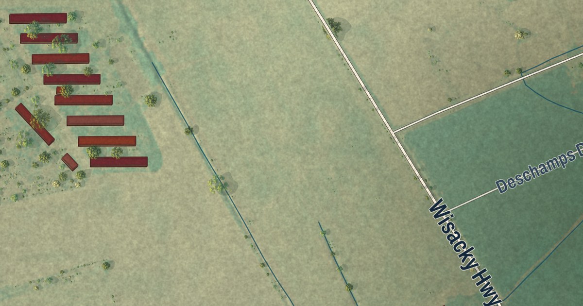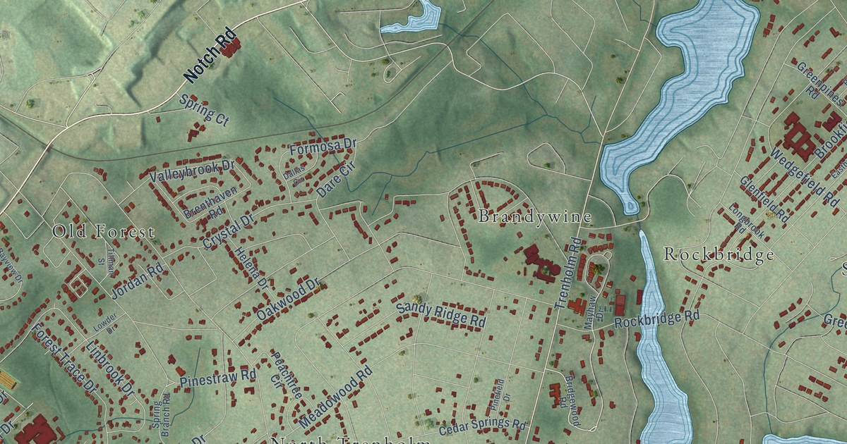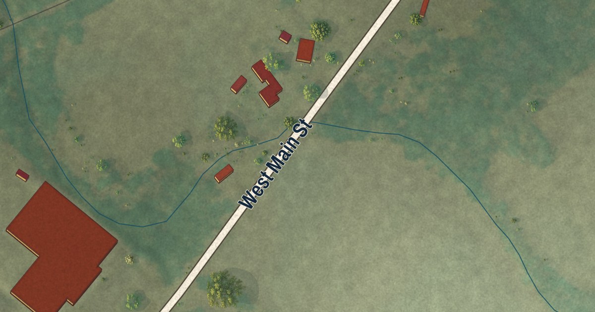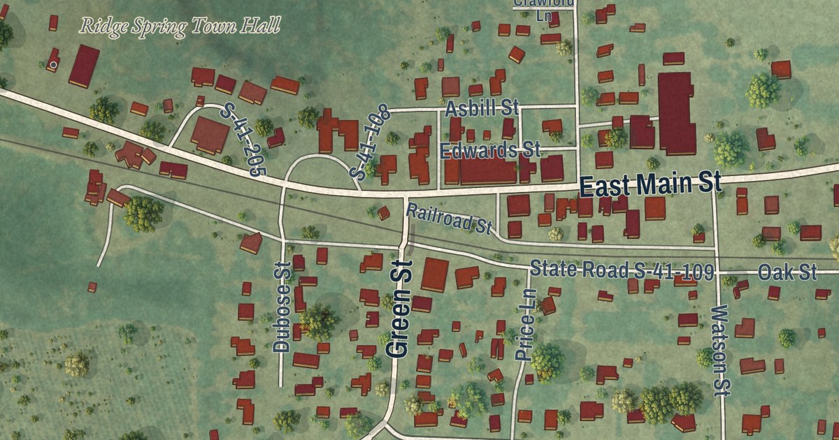
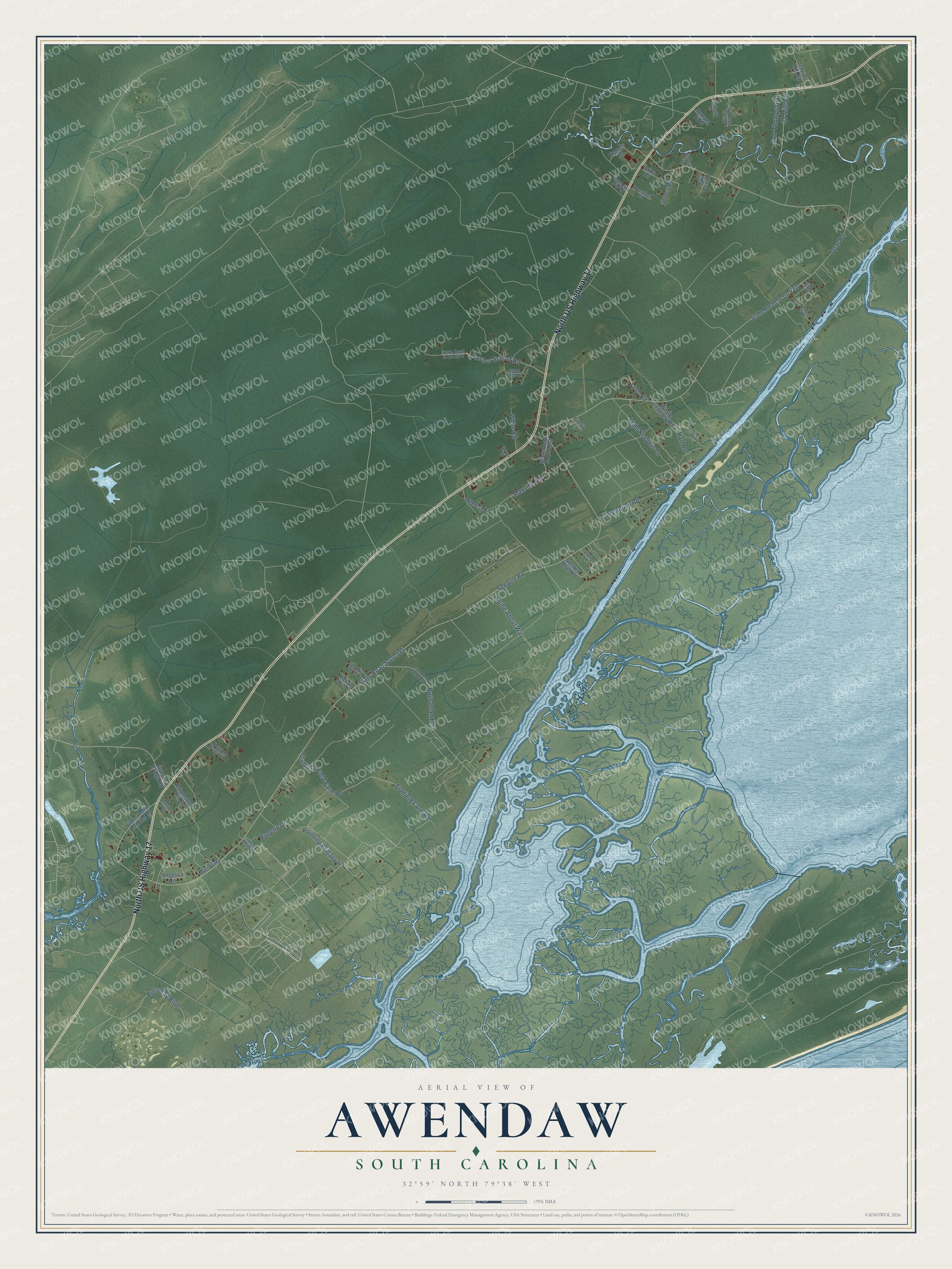
This beautifully detailed map of Awendaw, South Carolina was created in 2026 using aerial imagery combined with modern topographical, census, street and landmark data. It’s a one-of-a-kind view of Awendaw that combines accurate data with a vintage aesthetic. The map shows every building in its true location, many of the roads carry their names, and the shaded topographic relief shows the shape of the land.
Explore an aerial view of Awendaw, South Carolina
On the map you’ll find North US Highway 17, Flatfield Farm Road, Maxville Road, State Road S-10-584, Seewee Road, State Road S-10-432, Doar Road, Pointing Brittany Lane, Flatfield Field Farm Road, Porcher School Road, Bulls Island Road, Light Keepers Lane, and more. If you look closely you can even find your house accurately drawn in its correct location. Zoom in on the preview to look for yours.
Did you know this piece of Awendaw, South Carolina history?
From the South Carolina Encyclopedia: "In preparation for her novel Skyward (2003), a romance set in a birds of prey rescue center, Monroe volunteered at the Center for Birds of Prey of the Avian Conservation Center in Awendaw, South Carolina."
Take a closer look at the Awendaw map
Street names on the Awendaw, South Carolina map
These names are printed on the map of Awendaw, South Carolina.
Streets and roads: North US Highway 17, Flatfield Farm Road, Maxville Road, State Road S-10-584, Seewee Road, State Road S-10-432, Doar Road, Pointing Brittany Lane, Flatfield Field Farm Road, Porcher School Road, Bulls Island Road, Light Keepers Lane.
More street names, A to Z
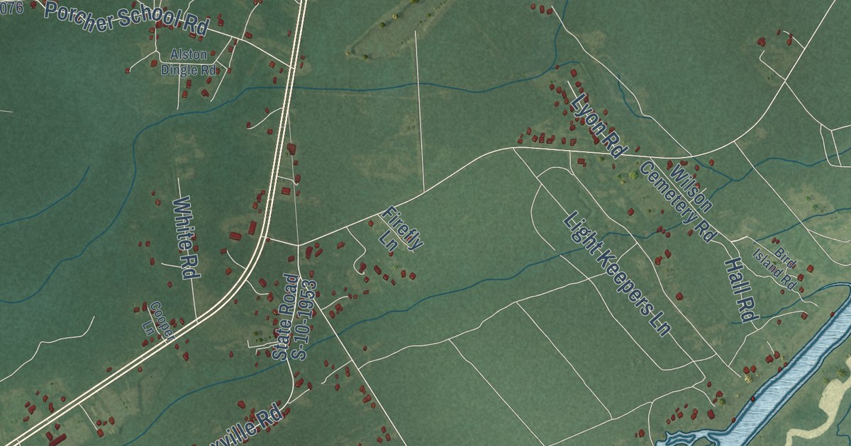
25 Mile Road, Alston Dingle Road, Angelica Circle, Bird Island Road, Bridle Gate Trail, Broomstraw Hill Road, Bulls Bay Boulevard, Butterfly Lane, Come About Way, Cooper Lane, Derries Road, Drifter Court, Eugene Drive, Fifteen Mile Landing Road, Firefly Lane, Getaway Path, Grannys Lane, Guerins Bridge Road, Gull Bay Drive, Hall Road, Jenkins Hill Road, Jones Road, Limehouse Road, Louisa White Drive, Lyon Road, Marion Road, Milcrest Drive, Pelican Bay Drive, Raw Dew Drive, Richard Main Drive, Roosevelt Road, Sam Thompson Drive, Seewee Bluff Road, Semper Fi Drive, Simmons Hill Road, State Road S-10-1076, State Road S-10-1170, State Road S-10-1953, Thames Road, Thompson Hill Road, Timmons Acres Lane, Union Road, White Road, Wilson Cemetery Road.
See the Awendaw, South Carolina map on a wall
The Awendaw map as an 18 x 24 inch print in a black frame.

This beautifully detailed map of Awendaw makes an attractive addition to your office, library, or den, and it can even be used to teach children the geography and history of the area. It also makes a great gift for anyone who grew up in Awendaw or moved away. When you’re done exploring, click here to get your copy of the Awendaw map.