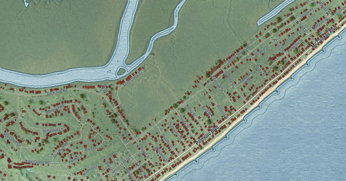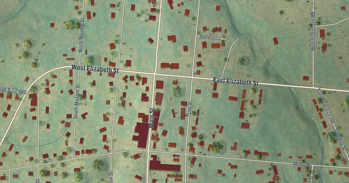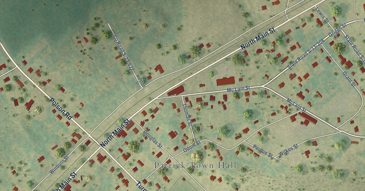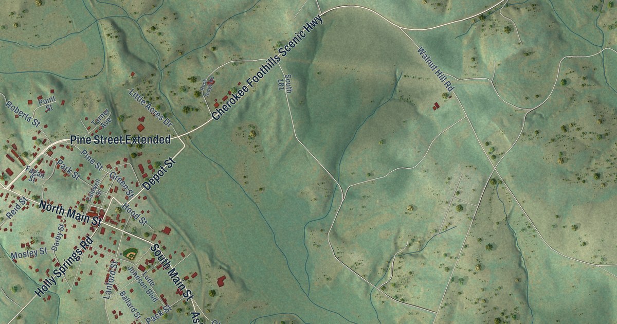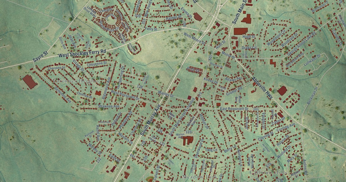
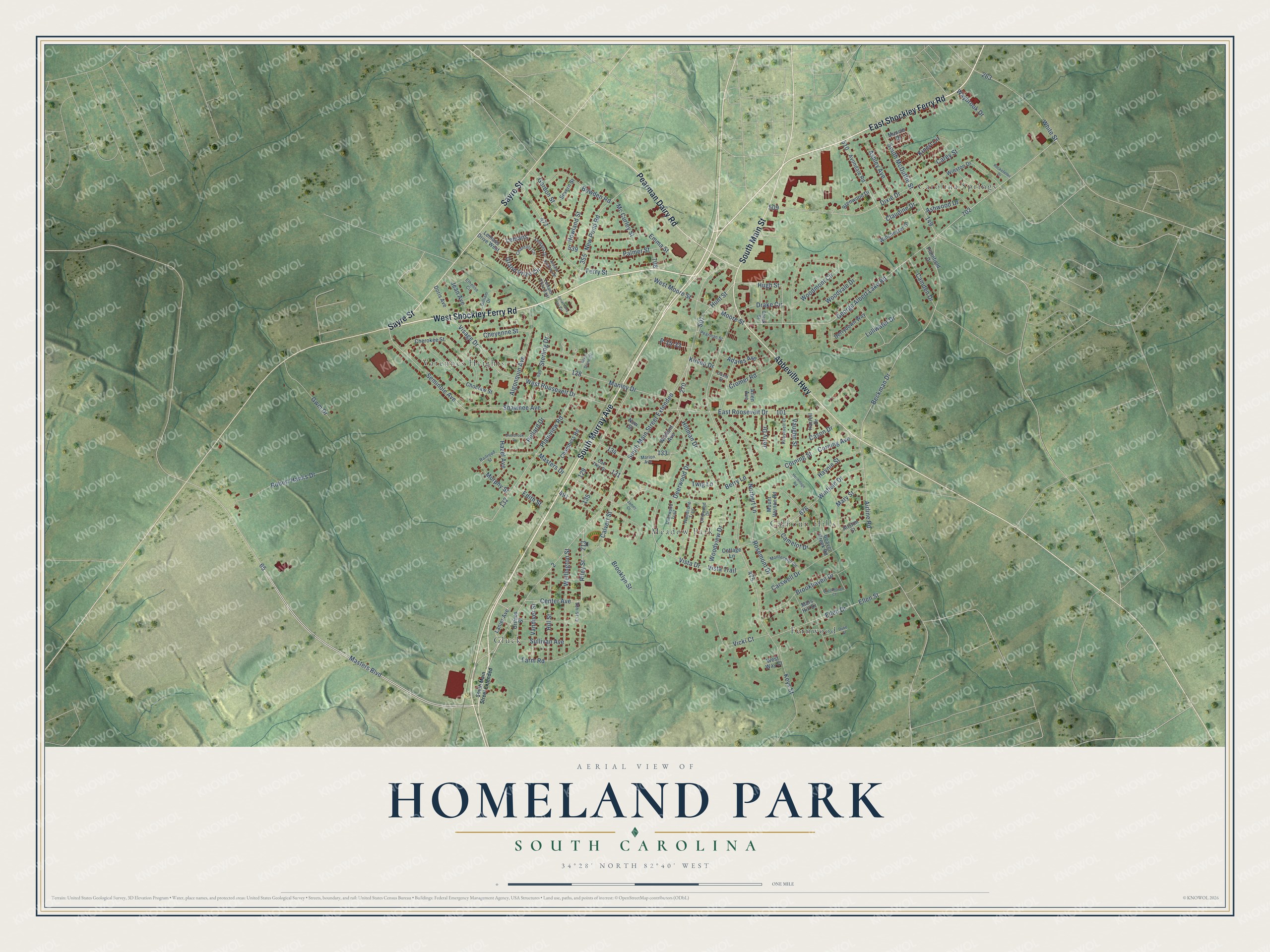
This beautifully detailed map of Homeland Park, South Carolina was created in 2026 using aerial imagery combined with modern topographical, census, street and landmark data. It's a modern aerial view of Homeland Park in Anderson County, South Carolina, that combines modern data with a vintage aesthetic. The roads feature printed names, and if you look closely you can find your exact house accurately shown in its correct location.
Explore an aerial view of Homeland Park, South Carolina
On this map you'll find Calhoun Hills, Carolina Springs, Fernwood, Gluck, Meadow Park, Varennes Heights, South Murray Avenue, West Shockley Ferry Road, East Shockley Ferry Road, Sayre Street, Abbeville Highway, Pearman Dairy Road, and more. Each red shape is a building, so zoom in on the preview and look for yours.
Homeland Park has a story worth telling. The Anderson School District Five puts it this way: "Homeland Park began educating students during the 1954-1955 school year. The school drew students from Gluck Mills, Roberts, McLeese, Southside, and Kennedy Street Schools."
Homeland Park is a community in Anderson County. The Census Bureau counted 6,445 people here in 2020.
Take a closer look at the Homeland Park map
Names on this map
These names are printed on this map.
Places: Calhoun Hills, Carolina Springs, Fernwood, Gluck, Meadow Park and Varennes Heights.
Streets and roads: South Murray Avenue, West Shockley Ferry Road, East Shockley Ferry Road, Sayre Street, Abbeville Highway, Pearman Dairy Road, South Main Street, South Main Street Extended, Masters Boulevard, Seminole Avenue, Drake Circle, Hugh Street.
More street names, A to Z
Adams Avenue, Airline Road, Algonquin Avenue, Allen Avenue, Allston Street, Ashley Avenue, Ashwood Drive, Avondale Road, Beaver Creek Road, Beckman Drive, Berry Lane, Bowden Road, Brenwood Drive, Brookhaven Court, Brookhaven Drive, Brooklyn Street, Calvert Street, Camden Drive, Camelot Drive, Carey Street, Carswell Drive, Cason Drive, Center Avenue, Chambers Road, Chantilly Circle, Cheek Street, Cherokee Street, Cheyenne Street, Chipwood Drive, Choctaw Street, Claudine Drive, Corning Avenue, Corning Street, Cottage Lane, Cromer Road, David Street, Deerwood Drive, Deerwood Trail, Derrydown Way, Dixie Drive, Doris Avenue, Duke Street, East Roosevelt Drive, Edith Street, Ellen Drive, Ellen Street, Emma Street, Ethelise Circle, Farm Road, Ferry Street, George Albert Lake Road, Gilliam Drive, Gordon Street, Grand Prize Circle, Grimes Street, Gwm Drive, Harrell Drive, Haynie Street, Hazel Avenue, Hermitage Road, Hillman Drive, Hill Street, Howland Street, Hunt Street, James Court, Jean Avenue, Jerry Drive, Jonathans Joy Circle, Keys Street, Kinert Circle, Kirven Drive, Lanier Avenue, Lemans, Lemans Drive, Lemans Drive East, Lemans Drive West, Lullwater Drive, Manley Drive, Marlon Avenue, Mars Hill Drive, Mary Street, Masters Drive, Mc Curley Street, Montecello Circle, Moore Street, Mount Vernon Road, Muncie Drive, Murphy Street, New Pond Road, New Street, Norbert Lane, Oak Tree Drive, Overbrook Drive, P-15-33, Palmer Street, Pearman Street, Plainfield Drive, Plainview Road, Pollard Drive, Railroad Street, Riley Street, Riviera Road North, Robert Hanks Drive, Rockefeller Drive, Roosevelt Court, Rosemont Drive, Severn Street, Shawnee Avenue, Silver Stone Circle, South McDuffie Street, Sterling Drive, Sullivan Avenue, Twig Lane, Vandiver Street, Vaughn Street, Vicki Court, Visage Drive, Vista Drive, Vista Trail, Waybrook Drive, Wellington Street, West Moore Street, West Roosevelt Drive, West Way Court, White Street, Wilmont Avenue, Winchester Drive, Winfield Drive, Winston Drive, Woodcone Trail, Woodmont Circle, Woodvale Drive, Woodview Drive.
Created by KNOWOL in 2026. The buildings are small red shapes, the roads carry their printed names, and shaded relief shows the shape of the land. The title panel reads "AERIAL VIEW OF HOMELAND PARK SOUTH CAROLINA" with 34°28' NORTH 82°40' WEST.
It looks right in a kitchen, an office or a den, and it's a gift for anyone who grew up in Homeland Park or moved away. Open the preview and find your street. See sizes and frames for the Homeland Park map.