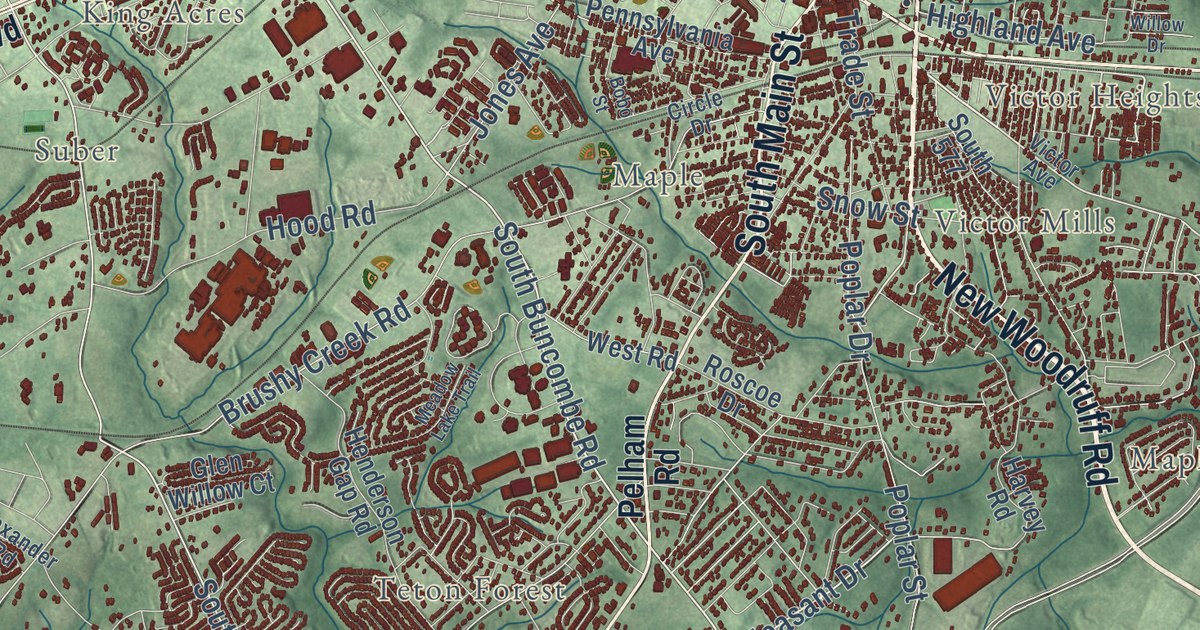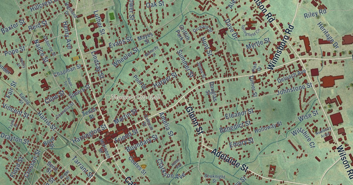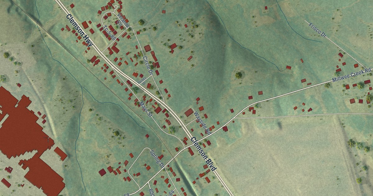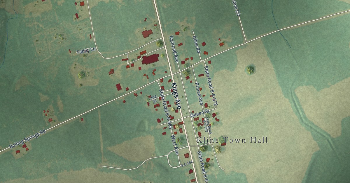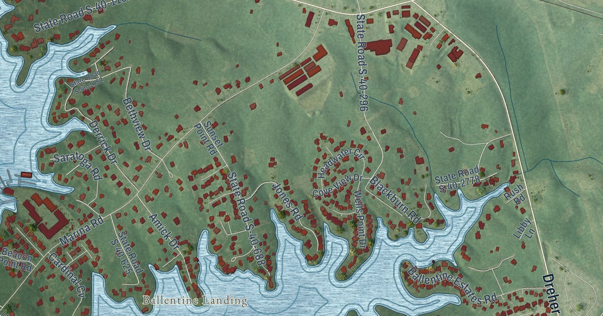
This beautifully detailed map of Lake Murray of Richland, South Carolina was created in 2026 using aerial imagery combined with modern topographical, census, street and landmark data. It’s a one-of-a-kind view of Lake Murray of Richland that combines accurate data with a vintage aesthetic. The map shows every building in its true location, many of the roads carry their names, and the shaded topographic relief shows the shape of the land.
Explore an aerial view of Lake Murray of Richland, South Carolina
On the map you’ll find Hilton, Ballentine Landing, and White Rock, along with Dutch Fork Road, Dreher Shoals Road, State Road S-40-216, State Road S-40-1333, Lowman Home Barn Road, Richard Franklin Road, Wonder Drive, Sienna Drive, Reformation Road, and more. If you look closely you can even find your house accurately drawn in its correct location. Zoom in on the preview to look for yours.
Did you know this piece of Lake Murray of Richland, South Carolina history?
From the South Carolina Encyclopedia: "The completion of the Saluda River Dam in 1930 created Lake Murray, which inundated fifty thousand acres of Lexington County but also created five hundred miles of shoreline."
Take a closer look at the Lake Murray of Richland map
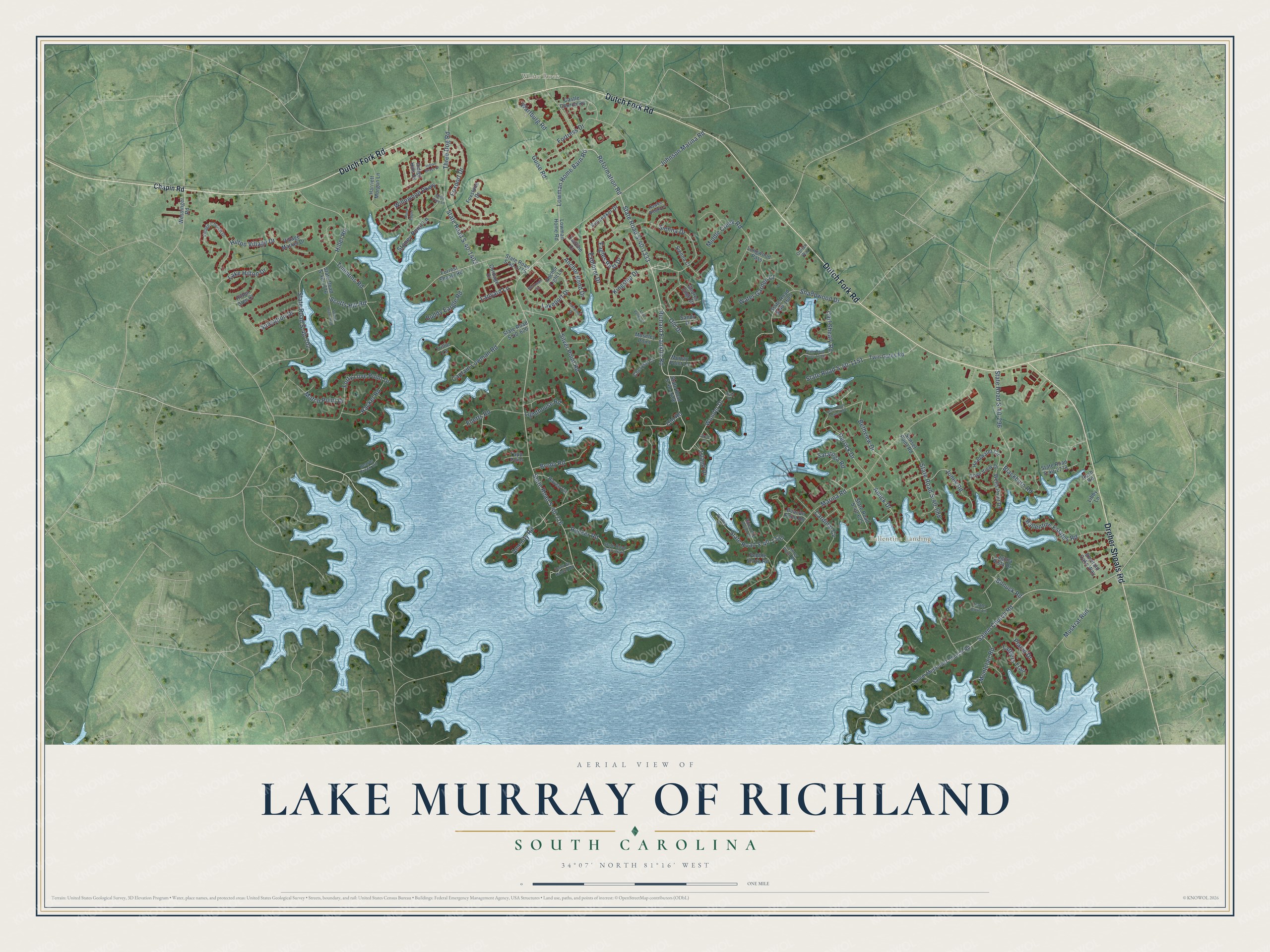
Street and place names on the Lake Murray of Richland, South Carolina map
These names are printed on the map of Lake Murray of Richland, South Carolina.
Places: Ballentine Landing and White Rock.
Streets and roads: Dutch Fork Road, Dreher Shoals Road, State Road S-40-216, State Road S-40-1333, Lowman Home Barn Road, Richard Franklin Road, Wonder Drive, Sienna Drive, Reformation Road, Fortress Drive, Derrick Drive, Old Road.
More street names, A to Z
Amenity Road, Amick Drive, Anchor Bend Drive, Anchor Light Lane, Ballentine Estates Road, Beacon Point Road, Beards Creek Circle, Bethview Drive, Blackburn Road, Bonuck Road, Brody Road, Buddy Eargle Road, Captain Lowman Road, Cardinal Cv, Carl Shealy Road, Castle Church Road, Chapin Road, Cheryse Court, Circle Drive, Cordage Drive, Cove View Drive, Eagles Rest Drive, East Drive, Elletts Road, Emerald Oaks Way, Explorer Drive, Fairline Court, Fairwind Drive, Forrest Shealy Road, Forty Love Point Drive, Foxport Drive, Foxstone Drive, Guise Road, Harriett Morgan Lane, Haven Circle, Hawks Ridge Lane, Headwater Circle, Hiller Road, Hilton Glen Court, Hilton Village Drive, Indian Grass Drive, Indigo Hills Drive, Island Drive, Johnson Marina Road, Jones Road, Kingship Drive, Laguna Vista Drive, Lake Hilton Drive, Lakeport Drive, Lanyard Lane, Leitner Point Road, Libby Lane, Lighthouse Road, Longwood Pass, Love Valley Court, Lowman Home Road, Marina Road, Match Point Drive, Middle Creek Road, Misty Pine Lane, Montclair Road, Moonsail Circle, Moseley Point, Murray Point Lane, Muskrat Run, Obrian Way, Old Drive, Pebble Shore Road, Placid Drive, Point de Haven Road, Pond Edge Lane, Racket Road, Rideoutte Point Road, Rucker Road, Rush Road, Salem Church Road, Salem Methodist Church Road, Sandy Drive, Saratoga Road, Scotts Branch Road, Scotts Hill Road, Shadowood Drive, Shores Edge Drive, Sienna Court, Silver Point Road, State Road S-40-296, State Road S-40-620, State Road S-40-625, State Road S-40-688, State Road S-40-702, State Road S-40-1151, State Road S-40-1152, State Road S-40-1330, State Road S-40-1403, State Road S-40-1406, State Road S-40-1680, State Road S-40-1709, State Road S-40-1775, State Road S-40-1776, State Road S-40-2043, State Road S-40-2778, Stoney Point Lane, Sunsation Drive, Sunseeker Drive, Sunset Point Road, Tapp Point, Tattlers Trail, Three Dog Road, Timmons Road, Trillie Lane, Turtle Cove Lane, Twin Gates Road, Village Church Drive, Village Market Drive, Wartburg Road, Water Garden Court, Wells Point Drive, Wessinger Road, Willowood Parkway, Winding Road.
See the Lake Murray of Richland, South Carolina map on a wall
The Lake Murray of Richland map as an 18 x 24 inch print in a black frame.

This beautifully detailed map of Lake Murray of Richland makes an attractive addition to your office, library, or den, and it can even be used to teach children the geography and history of the area. It also makes a great gift for anyone with Lake Murray of Richland roots. When you’re done exploring, click here to get your copy of the Lake Murray of Richland map.