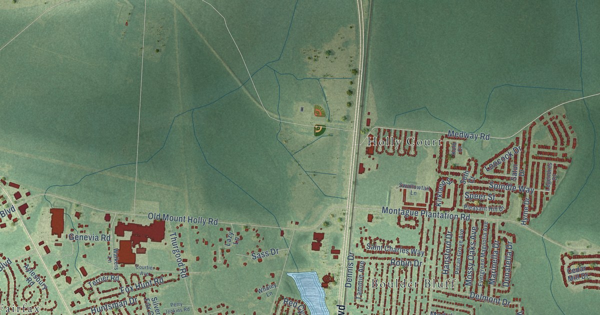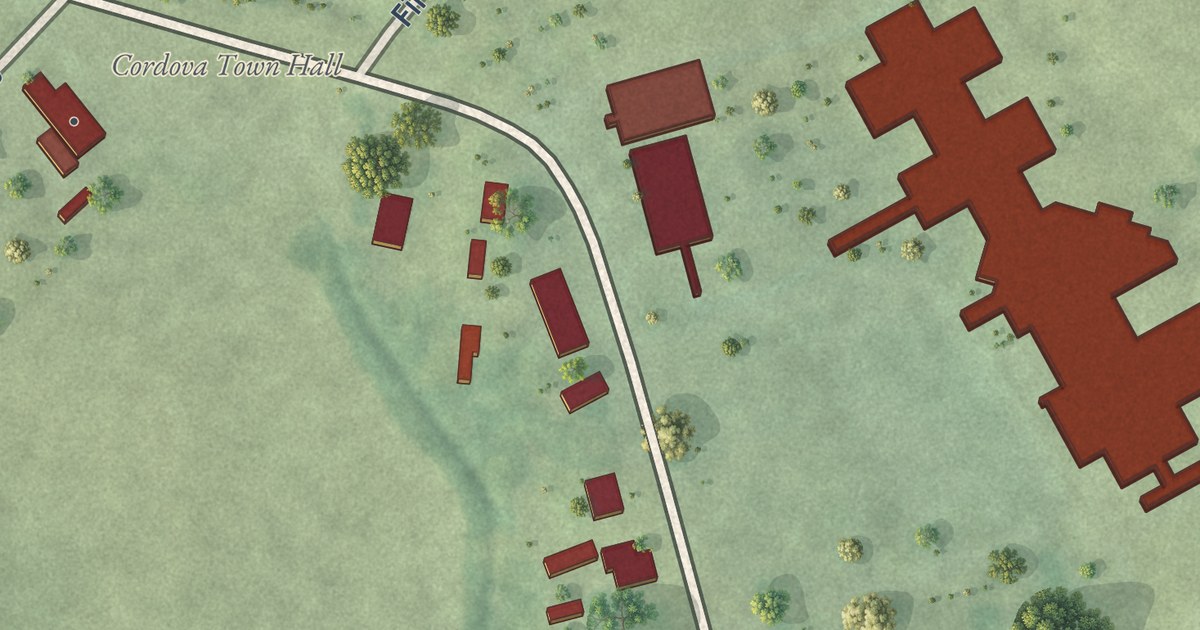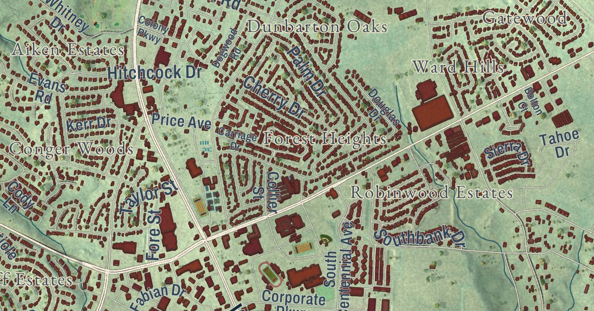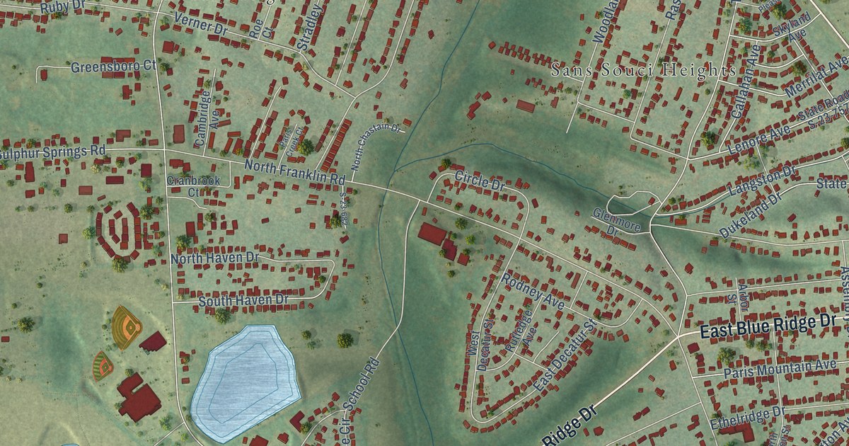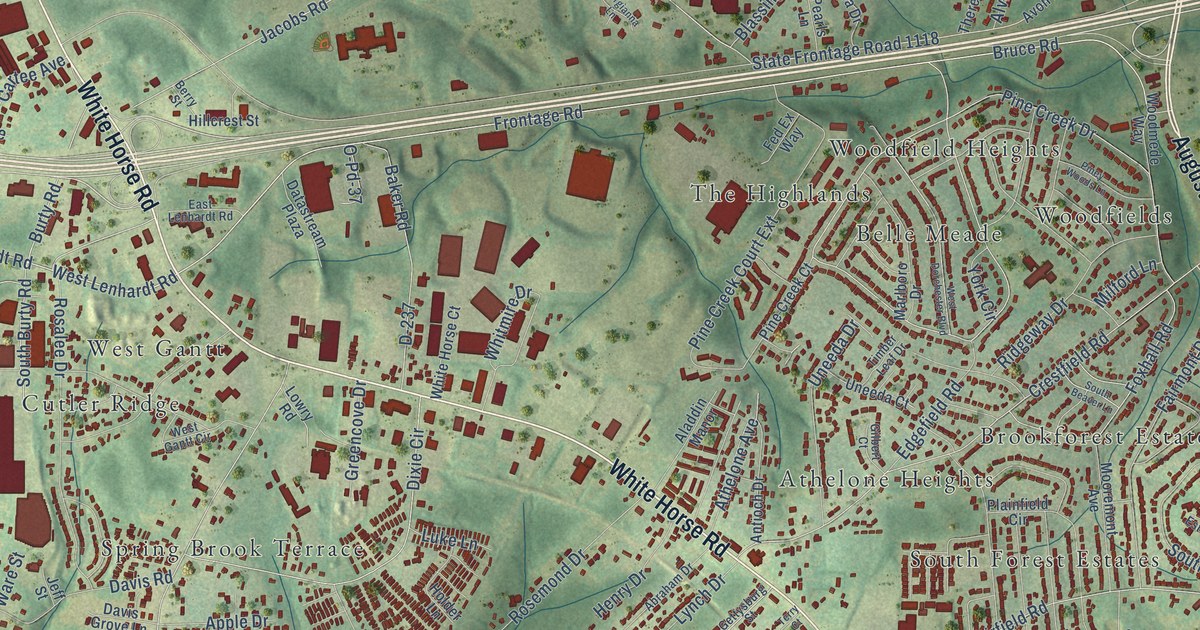
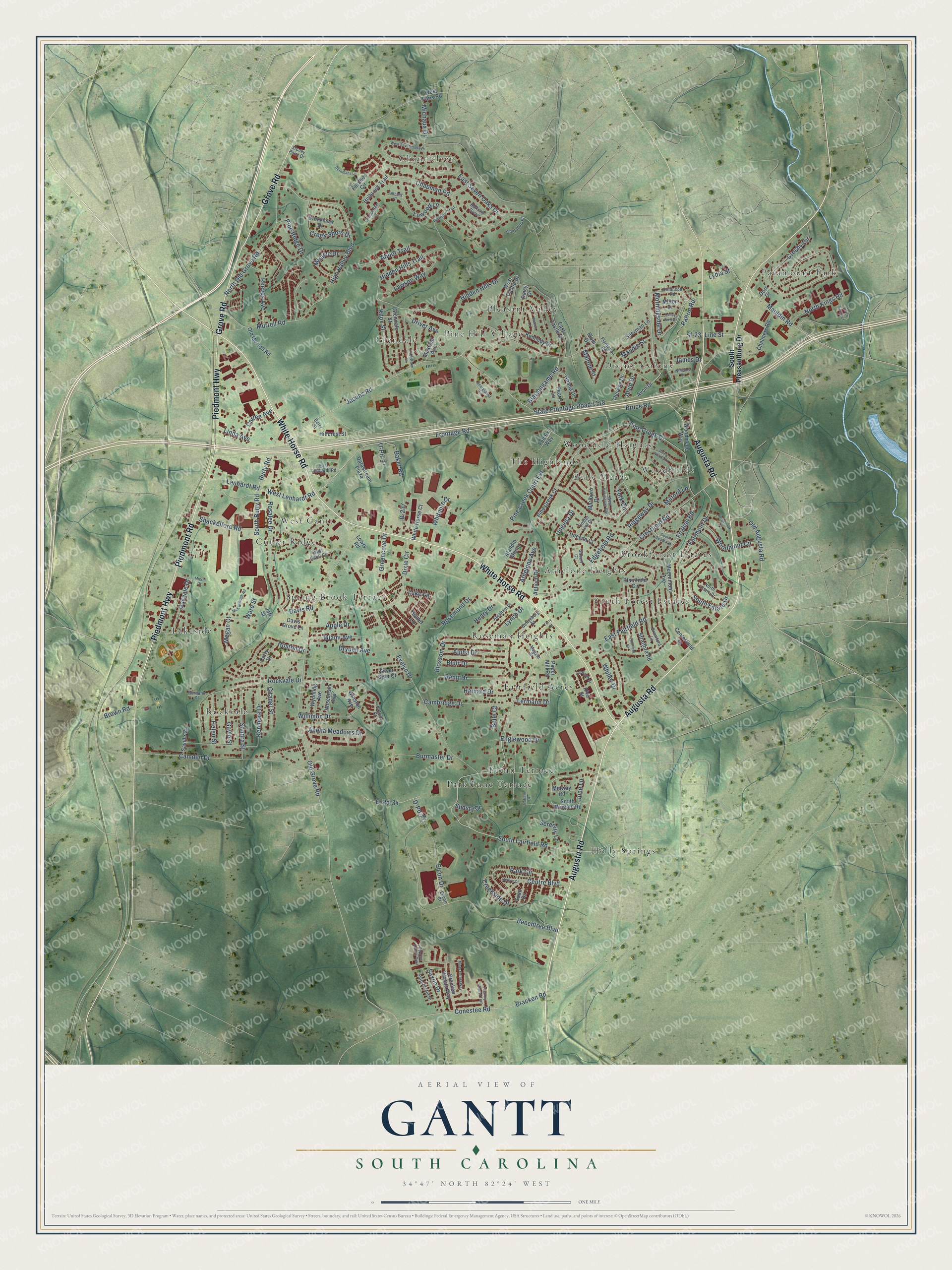
This beautifully detailed map of Gantt, South Carolina was created in 2026 using aerial imagery combined with modern topographical, census, street and landmark data. It’s a one-of-a-kind view of Gantt that combines accurate data with a vintage aesthetic. The map shows every building in its true location, many of the roads carry their names, and the shaded topographic relief shows the shape of the land.
Explore an aerial view of Gantt, South Carolina
On the map you’ll find Athelone Heights, Belle Meade, Brookforest Estates, Chanticleer, Cutler Ridge, Dreher Colony, Fairfield Acres, Glendale, Holly Springs, Lakeside, and Paramount Park, along with Park Lane Terrace, and more. If you look closely you can even find your house accurately drawn in its correct location. Zoom in on the preview to look for yours.
Did you know this piece of Gantt, South Carolina history?
From the Greenville County Schools: "The Gantt Community was named in honor of Richard Gantt, who was born on August 2, 1767 in Prince George County, Maryland."
Take a closer look at the Gantt map
Street and place names on the Gantt, South Carolina map
These names are printed on the map of Gantt, South Carolina.
Places: Athelone Heights, Belle Meade, Brookforest Estates, Chanticleer, Cutler Ridge, Dreher Colony, Fairfield Acres, Glendale, Holly Springs, Lakeside, Paramount Park, Park Lane Terrace, Pecan Terrace, Pine Hill Village, Pleasant Valley, Rockvale, Roseman Heights, South Forest Estates, Spring Brook Terrace, The Highlands, West Gantt, Woodfield Heights and Woodfields.
Streets and roads: Augusta Road, White Horse Road, Grove Road, Piedmont Road, Piedmont Highway, West Lenhardt Road, Lenhardt Road, Frontage Road, Line Street, Sf-23, State Frontage Road 1118, James Drive.
More street names, A to Z
Abbot Trail, Abelia Meadows Drive, Abraham Drive, Aladdin Manor, Alpha Drive, Alva Street, Alvin Drive, Anthony Place, Antioch Drive, Apple Drive, Athelone Avenue, Avon Drive, Baker Road, Bartram Grove, Beechtree Boulevard, Belle Court, Berkmans Lane, Berry Street, Blassingame Road, Blossom Drive, Bluff Drive, Bracken Road, Bracken Woods Way, Brantford Lane, Brookview Drive, Brown Road, Bruce Road, Buffalo Drive, Burbank Court, Burmaster Drive, Burty Road, Cambridge Drive, Camden Drive, Carly Drive, Cartee Avenue, Centerfield Street, Centre Boulevard, Centre Court, Chalmers Road, Chamberlain Court, Chapman Place, Chapman Road, Citadel Street, Collinson Road, Conestee Road, Creek Shore Drive, Creekside Drive, Crestfield Road, Crosby Circle, Cypress Hollow Trail, D-237, D-Pd-27, D-Pd-34, Daisy Drive, Datastream Plaza, Davis Grove Lane, Davis Road, Dixie Circle, Dorr Drive, Driver Avenue, Dryden Avenue, East Castle Drive, East Fairfield Road, East Lenhardt Road, East Seven Oaks Drive, Edgefield Road, Elcon Drive, Ellcon Court, Englewood Drive, Evelyn Drive, Fairmont Drive, Fed Ex Way, Foxhall Road, Freestone Street, French Lane, Gantt Drive, Garden Trail, Gayle Street, Georgianna Lane, Gettysburg Street, Ghana Drive, Gilbert Court, Glendale Street, Greencove Drive, Harvard Drive, Helen Street, Henry Drive, Hickory Forest Trail, Hidden Hills Drive, Hidden Hills Trail, High Valley Boulevard, Hillcrest Street, Holbrook Trail, Holder Lane, Hoston Drive, Jacobs Road, Jeff Street, June Lane, Katrina Court, Kenmore Drive, Kennedy Drive, Knox Street, Lawson Way, Lermann Drive, Linda Avenue, Lowood Lane, Lowry Road, Luke Lane, Lydia Street, Lynch Drive, Maggie Street, Malone Street, Marlboro Drive, Maudie Street, Mauldin Road, Maxwell Avenue, McCullough Road, Megan Court, Miami Avenue, Michaux Drive, Micrin Drive, Midway Road, Milford Lane, Milton Drive, Miracle Drive, Misty Forest Way, Mooremont Avenue, Morningside Drive, Murrell Road, North Estate Drive, North Kings Court, North Kings Road, North Old Grove Road, O-Pd-37, Oakvale Drive, Old Augusta Road, Old Grove Road, Old Murrell Road, Paper Mill Road, Park Circle, Patton Road, Pearls Lane, Pine Creek Court, Pine Creek Court Extension, Pine Creek Drive, Pinefield Drive, Pine Ridge Drive, Piney Woods Lane, Plainfield Circle, Plantation Road, Plum Drive, Porcher Circle, Randolph Street, Reeves Avenue, Ridgeway Drive, Rockvale Drive, Rosalee Drive, Rosemond Drive, Sandra Street, Saville Court, Saxon Drive, Serenity Lane, Shackelford Road, Shasta Drive, Sherman Lane, Silver Spur Court, Solar Drive, South Beaver Lane, South Burty Road, South Estate Drive, South Fairfield Road, South Pleasantburg Drive, South Wingate Road, Stoney Point Drive, Stratford Road, Sutters Mill Drive, Terry Court, Theresa Drive, Timber Leaf Drive, Uneeda Court, Uneeda Drive, Valley View Drive, Ware Street, Westbrook Lane, West Castle Drive, West Dorchester Boulevard, West Faris Road, West Gantt Circle, West Seven Oaks Drive, Whiller Drive, White Horse Court, Whitmire Drive, Williams Drive, Willimon Drive, Winston Avenue, Wisconsin Avenue, Woodmede Way, Woodmont Circle, Wyoming Avenue, York Circle.
See the Gantt, South Carolina map on a wall
The Gantt map as an 18 x 24 inch print in a black frame.

This beautifully detailed map of Gantt makes an attractive addition to your office, library, or den, and it can even be used to teach children the geography and history of the area. It also makes a great gift for someone who left Gantt and still calls it home. When you’re done exploring, click here to get your copy of the Gantt map.