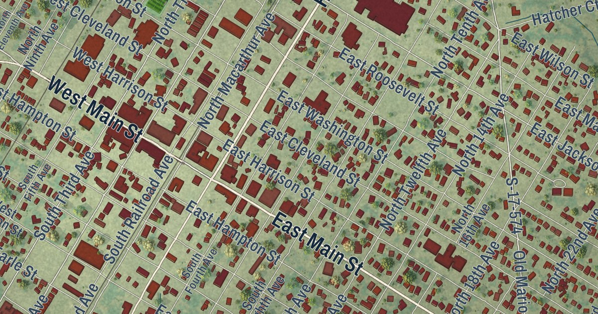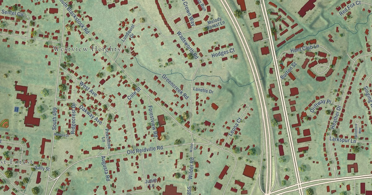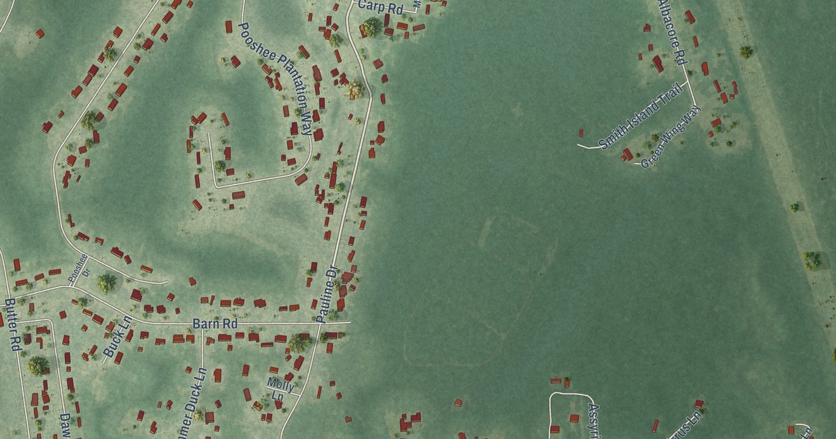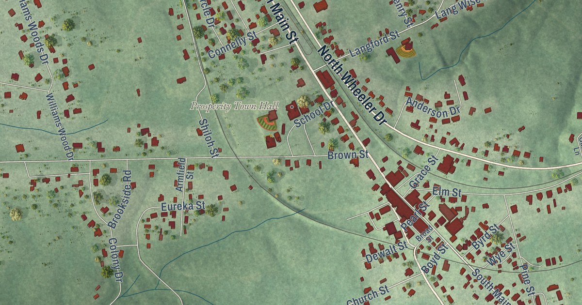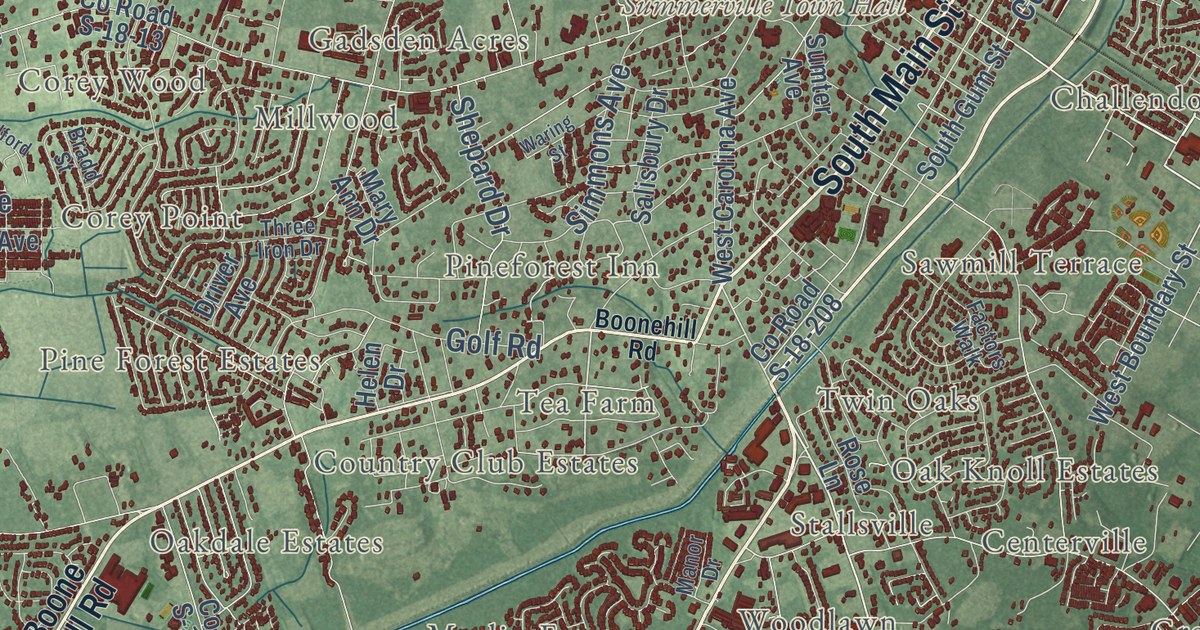
This beautifully detailed map of Summerville, South Carolina was created in 2026 using aerial imagery combined with modern topographical, census, street and landmark data. It’s a one-of-a-kind view of Summerville that combines accurate data with a vintage aesthetic. The map shows every building in its true location, many of the roads carry their names, and the shaded topographic relief shows the shape of the land.
Explore an aerial view of Summerville, South Carolina
On the map you’ll find Summerville Town Hall, Pine Trace Park, Barney Ridge, Brick Yard Trace, Centerville, Challendon, Chandler Lakes, Chandler Village, Corey Point, Corey Wood, Cotton Hill, Country Club Estates, and more. If you look closely you can even find your house accurately drawn in its correct location. Zoom in on the preview to look for yours.
Did you know this piece of Summerville, South Carolina history?
From Scencyclopedia.org: "Summerville was incorporated in 1847, and one of its first ordinances restricted the cutting of trees in the town limits."
Take a closer look at the Summerville map
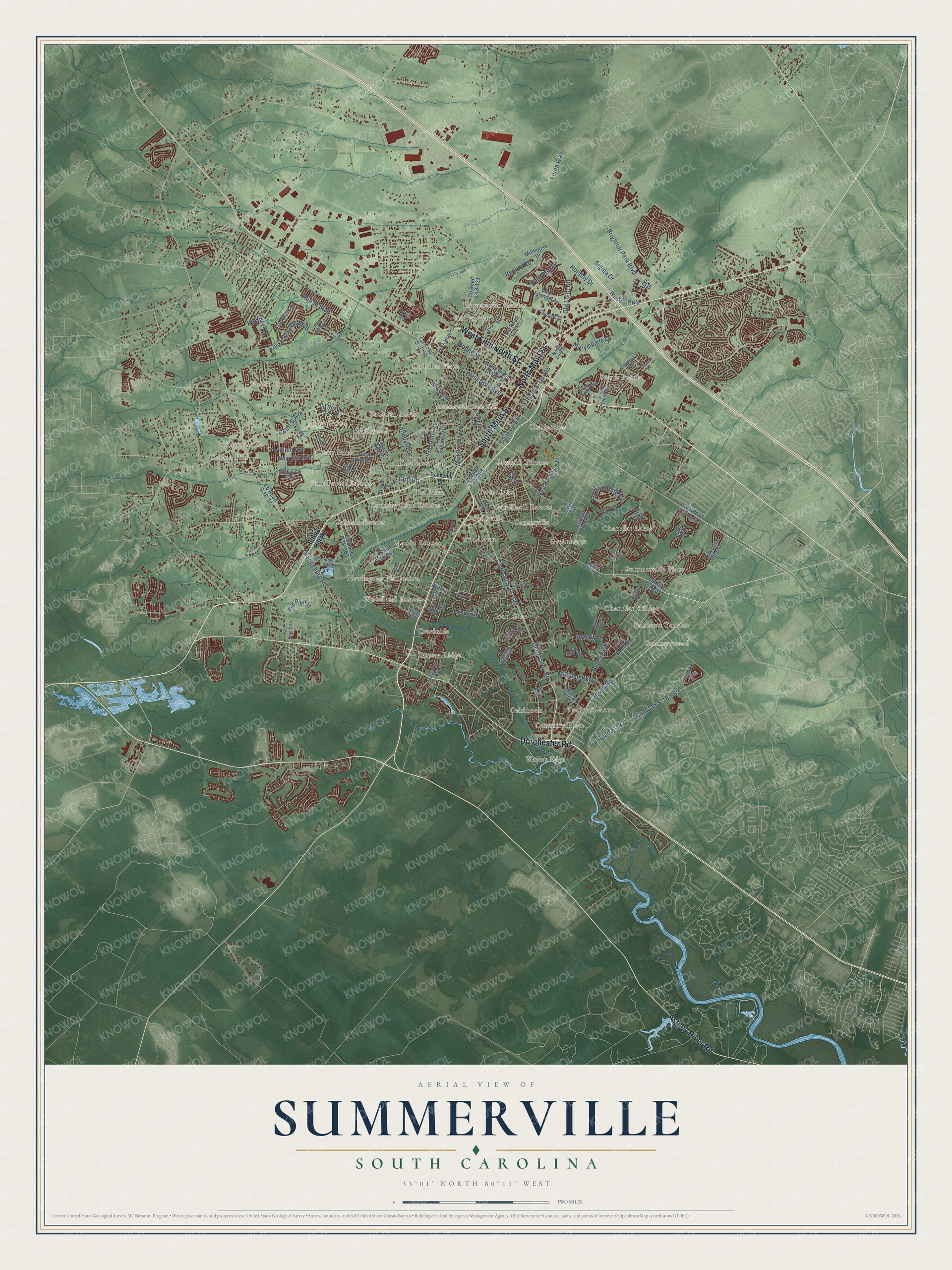
Street and place names on the Summerville, South Carolina map
These names are printed on the map of Summerville, South Carolina.
Places: Summerville Town Hall, Waters Edge, Cotton Hill, Summerwood, Tea Farm, Woodland Estates, South Pointe, Chandler Lakes, Pecan Grove, Flowertown Estates, Tranquil Acres, Iron Gate, Centerville, Gadsden Acres, Pine Forest Estates, Sawmill Terrace, Marlin Estates, Barney Ridge, Gadsden Place, Oakbrook, Woodlawn, Corey Wood, Oakdale Estates, Summerville Place, Country Club Estates, Millwood, Twin Oaks, Chandler Village, Robynwyn, Pineforest Inn, Challendon, Corey Point, Greenhurst, Stallsville, Knightsville, Newington Plantation, Creekside, Fairlawn Terrace, Coventry Place and Oak Knoll Estates.
Streets and roads: North Main Street, South Main Street, Ashley River Road, Dorchester Road, West Fifth North Street, Old Trolley Road, County Road S-18-199, Ladson Road, Old Light Road, Holiday Drive, Central Avenue, Beverly Drive.
More street names, A to Z
Alpine Road, Alwyn Boulevard, Amaryllis Avenue, Beagle Road, Bear Island Road, Beck Street, Benton Lodge, Blake Drive, Boone Hill Road, Boonehill Road, Boone Street, Bosquet Court, Bradd Street, Branch Creek Trail, Brandy Mill Boulevard, Briarwood Lane, Brighton Park Boulevard, Burton Avenue, Chandler Drive, Congressional Boulevard, Coosawatchie Street, County Road S-10-65, County Road S-10-881, County Road S-18, County Road S-18-13, County Road S-18-22, County Road S-18-131, County Road S-18-195, County Road S-18-208, County Road S-18-217, County Road S-18-363, County Road S-18-377, County Road S-18-562, County Road S-18-662, Creek Bend Drive, Deer Run Road, Dollie Circle, Driver Avenue, Eagle Ridge Road, Equinox Circle, Essex Drive, Factors Walk, Finucan Road, Goldenrod Alley, Golf Road, Greenwave Boulevard, Guilford Drive, Hamlet Road, Heber Road, Helen Drive, Holly Street, Iris Street, Jimbo Road, Keaton Brook Drive, Kilarney Road, Labyrinth Lane, Linda Way, Manor Drive, Mary Ann Drive, Marymeade Drive, Mendenhall Street, Midland Parkway, Miles Jamison Road, Millhouse Drive, North Gum Street, North Maple Street, Northpark Avenue, Oak Bluff Road, Orangeburg Road, Pace Street, Pine Valley Drive, Prestwick Court, Rawlins Drive, Red Bluff Street, Renau Boulevard, Rose Drive, Rose Lane, Salisbury Drive, Savannah Drive, Savannah River Drive, Sequoia Drive, Shepard Drive, Sigma Drive, Simmons Avenue, South Gum Street, South Pointe Boulevard, South Port Drive, Sumter Avenue, Three Iron Drive, Towering Pine Drive, Travelers Boulevard, Trillium Avenue, Tulip Street, Tyron Road, Varnfield Drive, Waring Street, West Boundary Street, West Carolina Avenue, West Doty Avenue, West Respite Lane, West Second North Street, West Smith Street, Westvaco Road.
See the Summerville, South Carolina map on a wall
The Summerville map as an 18 x 24 inch print in a black frame.

This beautifully detailed map of Summerville makes an attractive addition to your office, library, or den, and it can even be used to teach children the geography and history of the area. It also makes a great gift for someone who left Summerville and still calls it home. When you’re done exploring, click here to get your copy of the Summerville map.