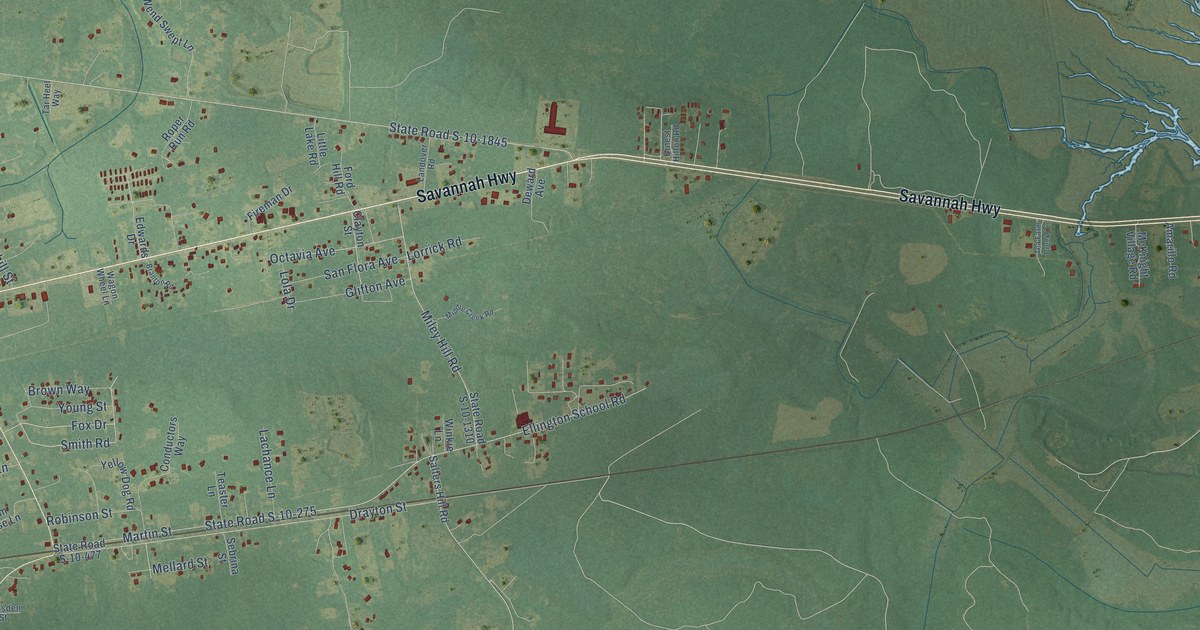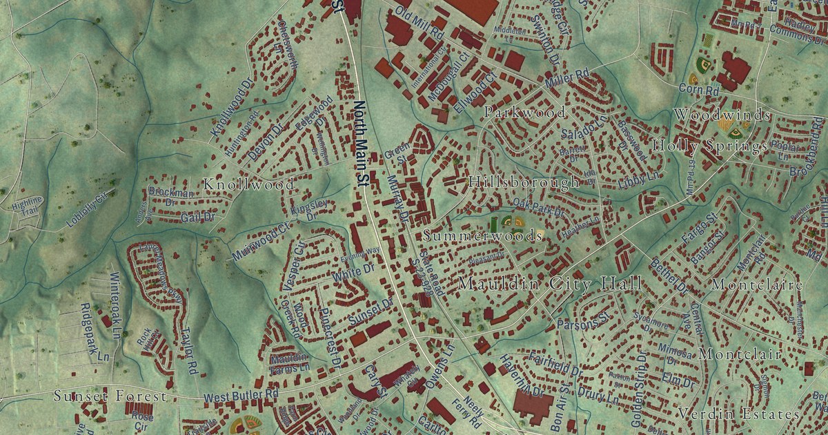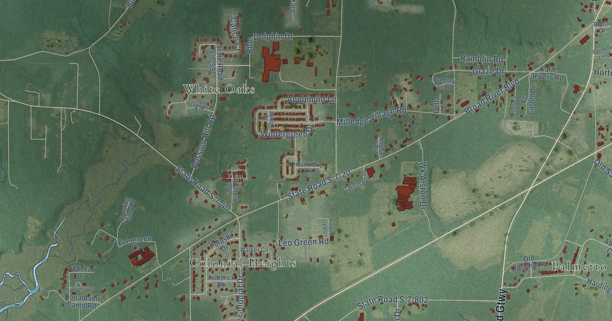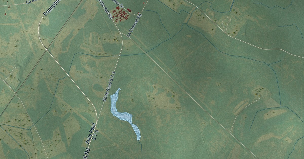
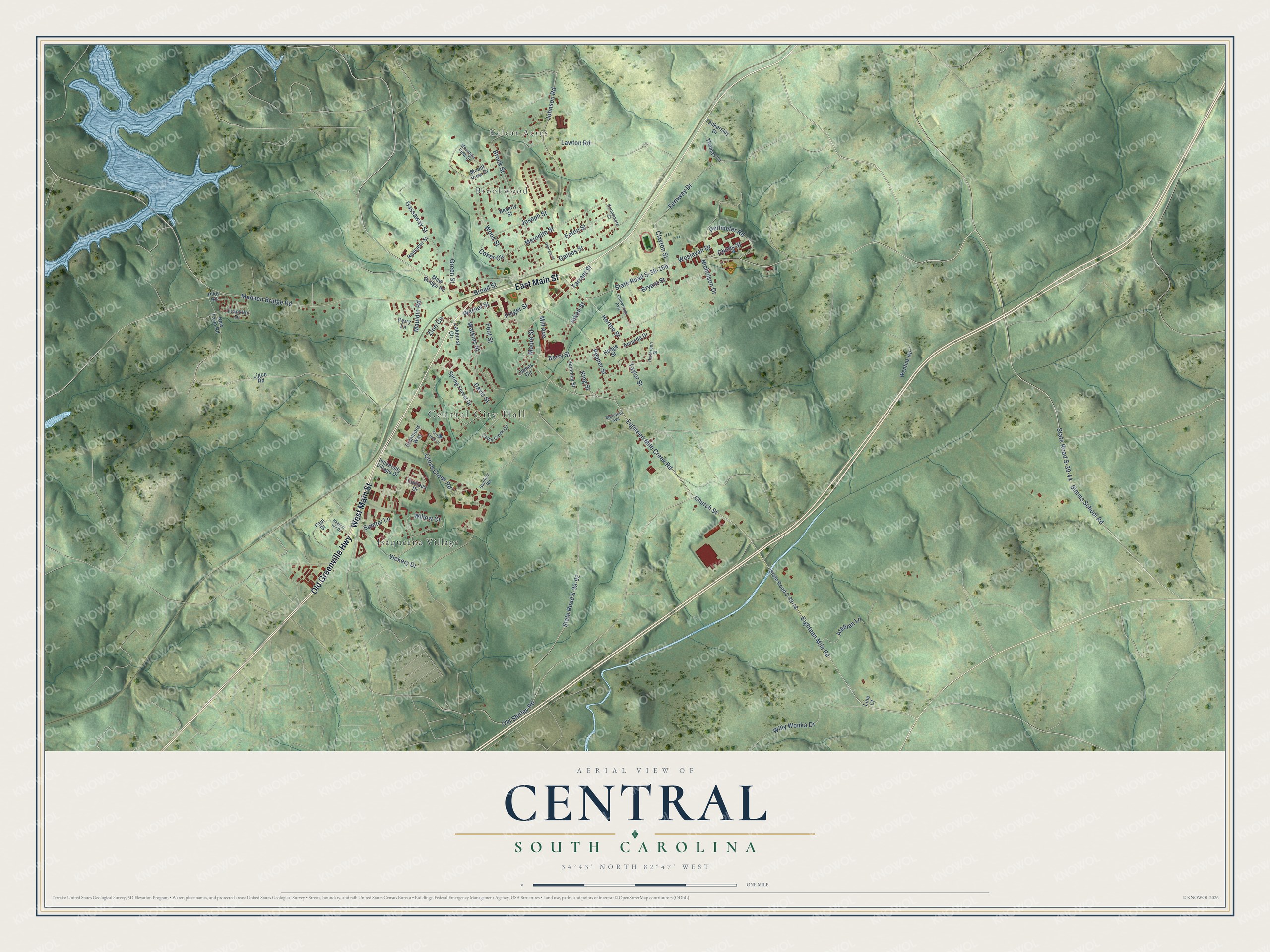
This beautifully detailed map of Central, South Carolina was created in 2026 using aerial imagery combined with modern topographical, census, street and landmark data. It's a modern aerial view of Central in Pickens County, South Carolina, that combines modern data with a vintage aesthetic. The roads feature printed names, and if you look closely you can find your exact house accurately shown in its correct location.
Explore an aerial view of Central, South Carolina
On this map you'll find Central City Hall, Brookwood, Isaqueena Village, Kelcar Acres, West Main Street, East Main Street, Old Greenville Highway, State Road S-39-44, Berry Street, Folger Street, Eighteen Mile Road, State Road S-39-165, and more. Each red shape is a building, so zoom in on the preview and look for yours.
Central has a story worth telling. The record at scencyclopedia.org puts it this way: "On March 17, 1875, Central was incorporated as a town, with boundaries extending one-half mile in each direction from the depot."
Central is a town in Pickens County. The Census Bureau counted 5,247 people here in 2020.
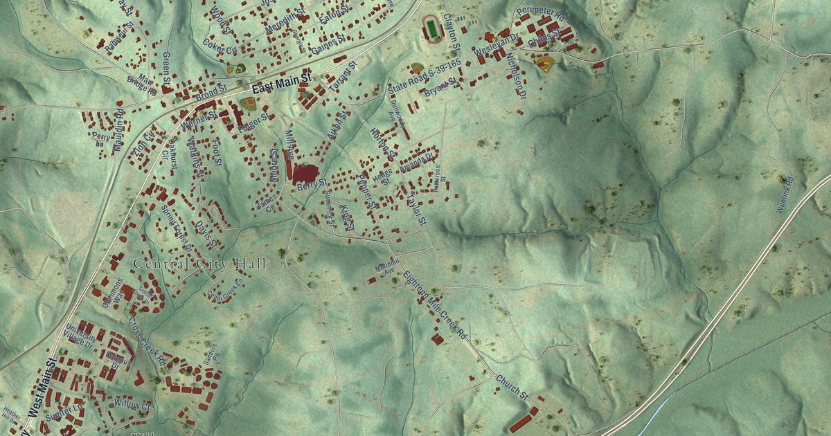
Take a closer look at the Central map
Names on this map
These names are printed on this map.
Places: Central City Hall, Brookwood, Isaqueena Village and Kelcar Acres.
Streets and roads: West Main Street, East Main Street, Old Greenville Highway, State Road S-39-44, Berry Street, Folger Street, Eighteen Mile Road, State Road S-39-165, Madden Bridge Road, Gaines Street, Eighteen Mile Creek Road, Meredith Street.
More street names, A to Z
Aiken Street, Amanda Drive, Arabian Lane, Beverly Street, Broad Street, Brock Street, Bryant Street, Campus Drive, Cedar Creek Circle, Childs Street, Church Street, Clayton Street, Coker Circle, Commons Way, Cross Creek Court, Cross Creek Road, Davis Street, Dunwoody Avenue, Eaton Street, Fernway Drive, Foot Street, Franklin Drive, Gassaway Street, Georgia Street, Green Street, Heather Hill Drive, Hedge Street, Horton Street, James Circle, Johnson Road, Joseph Street, Kennemore Street, King Street, Lawton Road, Ligon Road, Line Court, Mauldin Road, Maw Bridge Road, Meridian Avenue, Mill Avenue, Moore Street, Mountain View Drive, Mount View Drive, New Farm Road, Nicholson Drive, Oakhurst Circle, Old Shirley Road, Patterson Street, Paul Street, Pepper Street, Perimeter Road, Perry Lane, Pike Road, Ramseur Street, Sanders Road, Simms School Road, Spring Forest Drive, State Road S-39-18, State Road S-39-62, Summey Street, Sumter Lane, Tankersley Drive, Tarrant Street, Taylor Street, Thomas Lane, University Village Drive, Vickery Drive, Watkins Street, Wentink Road, Werner Street, Wesleyan Drive, Willow Court, Willy Wonka Drive, Wood Street, Zion Circle.
Created by KNOWOL in 2026. The buildings are small red shapes, the roads carry their printed names, and shaded relief shows the shape of the land. The title panel reads "AERIAL VIEW OF CENTRAL SOUTH CAROLINA" with 34°43' NORTH 82°47' WEST.
It looks right in a kitchen, an office or a den, and it's a gift for anyone who grew up in Central or moved away. Open the preview and find your street. See sizes and frames for the Central map.