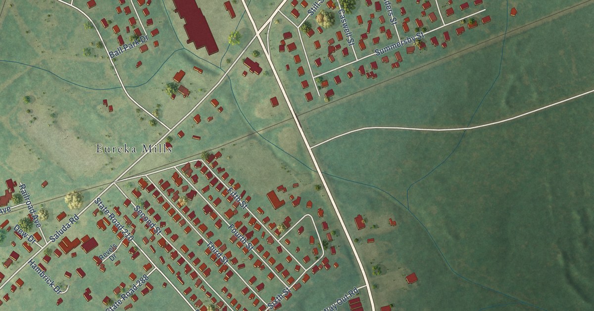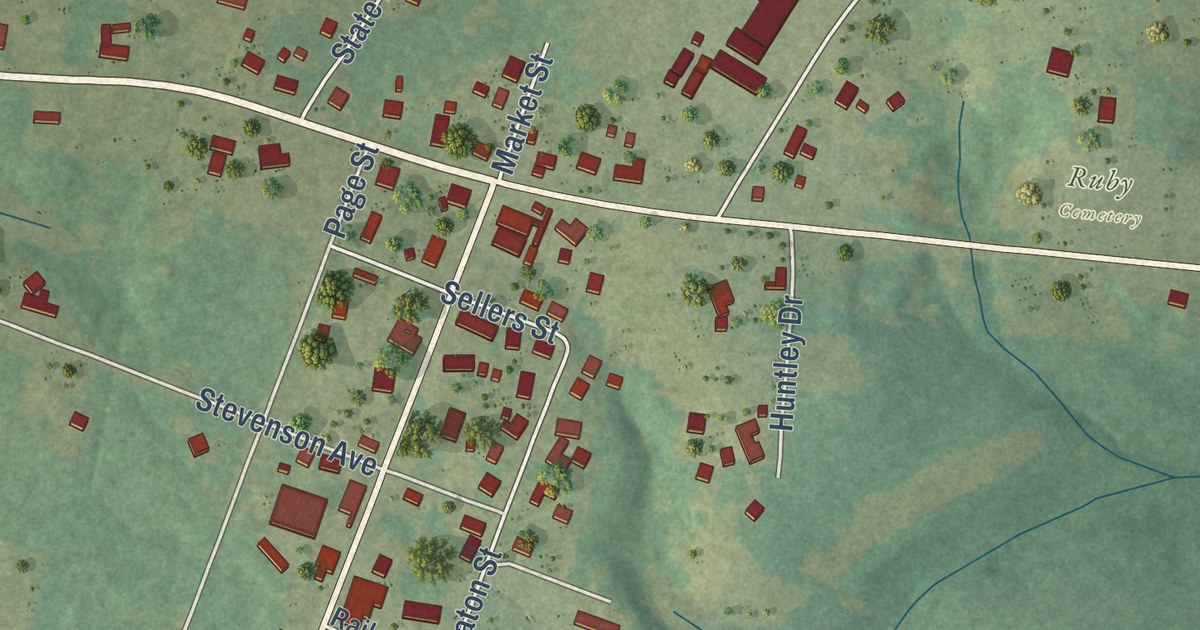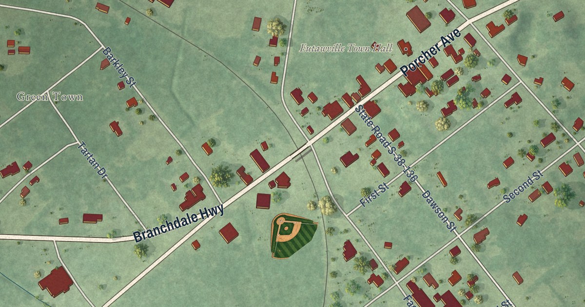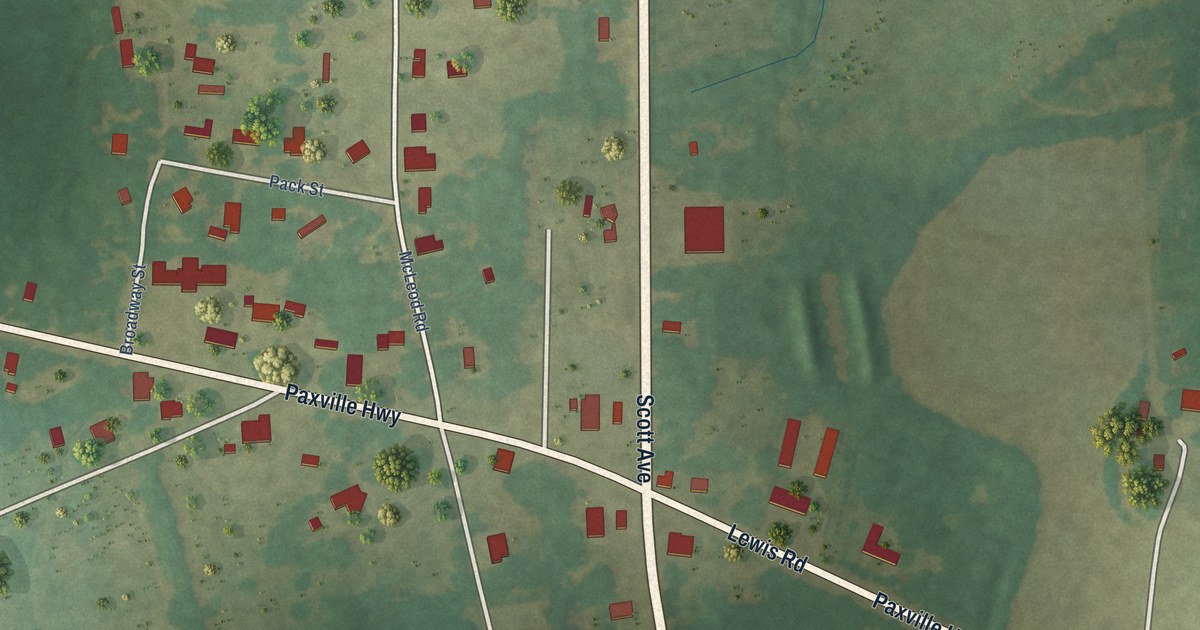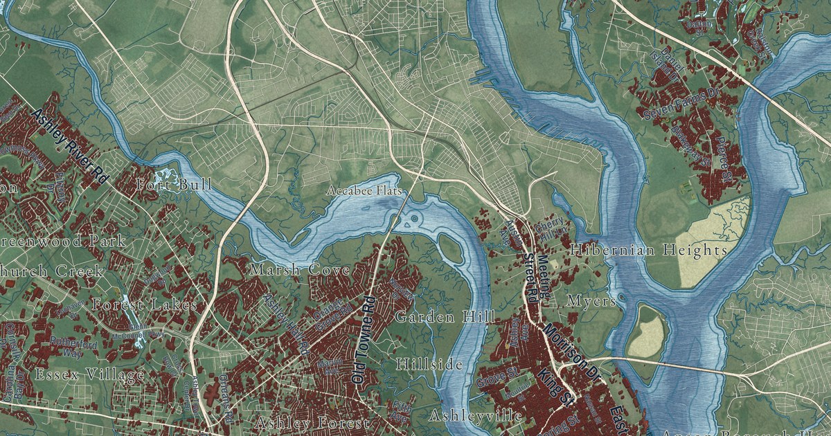
This beautifully detailed map of Charleston, South Carolina was created in 2026 using aerial imagery combined with modern topographical, census, street and landmark data. It’s a one-of-a-kind view of Charleston that combines accurate data with a vintage aesthetic. The map shows every building in its true location, many of the roads carry their names, and the shaded topographic relief shows the shape of the land.
Explore an aerial view of Charleston, South Carolina
On the map you’ll find Downtown, Accabee Flats, Albemarle Point, Black Island, Bowen Island, Brown Pond, Colonial Lake, Anson Borough Homes, Ashley Forest, Ashleyville, Battery Point, Bayfront, and more. If you look closely you can even find your house accurately drawn in its correct location. Zoom in on the preview to look for yours.
Did you know this piece of Charleston, South Carolina history?
From Scencyclopedia.org: "Charleston was the first permanent European settlement in Carolina, its first seat of government, and the most important city in the southern United States well into the nineteenth century."
Take a closer look at the Charleston map
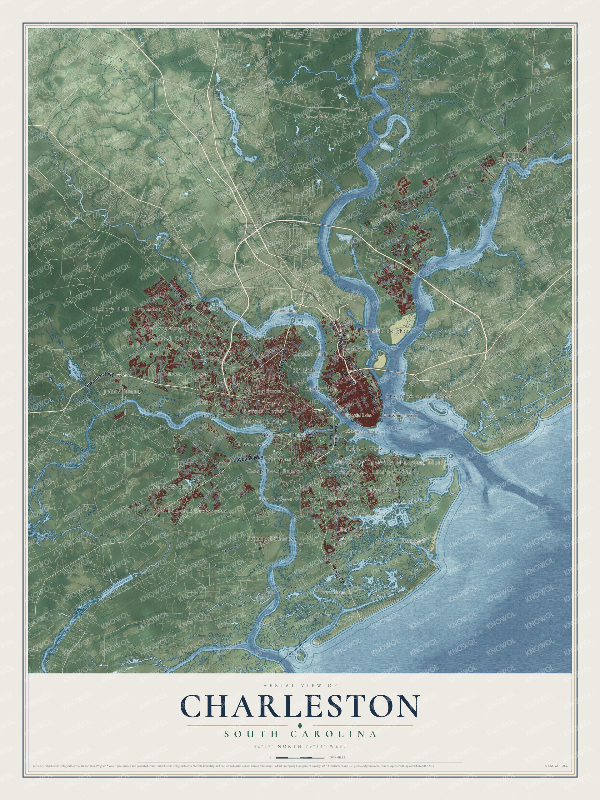
Street and place names on the Charleston, South Carolina map
These names are printed on the map of Charleston, South Carolina.
Places: Downtown, Accabee Flats, Albemarle Point, Black Island, Bowen Island, Brown Pond, Colonial Lake, Anson Borough Homes, Ashley Forest, Ashleyville, Battery Point, Bayfront, Bur Clare, Byrnes Downs, Cainhoy, Camp Road Estates, Capri Isles, Centerville, Chesterfield, Church Creek, Clarks Sound, Dogwood Park, Essex Village, Farmington, Fenwick Crossroads, Fenwick Hills, Forest Lakes, Fort Bull, Garden Hill, Green Acres, Green Hill, Greenwood Park, Grimball Shores, Harbor View, Harbor Woods, Harrison Acres, Hibernian Heights, Hickory Hall Plantation, Hillside, Holiday Acres, Johns Island, Lakeview of Lawton Bluff, Lee Jackson Estates, Marsh Cove, Melrose and Myers.
Streets and roads: Morrison Drive, Savannah Highway, King Street, East Bay Street, Ashley River Road, Folly Road, Maybank Highway, Old Towne Road, Spring Street, Clements Ferry Road, State Road S-8-33, River Road.
More street names, A to Z
Albemarle Road, Arlington Drive, Aruba Circle, Ashley Avenue, Ashley Hall Road, Ashley Town Center Drive, August Road, Austin Avenue, Barbados Drive, Barons Drive, Battery Island Drive, Battle Trail Drive, Beech Hill Drive, Bees Ferry Road, Betsy Road, Blakeway Street, Blue Sky Lane, Bluewater Way, Brick Church Road, Cain Hoy Plantation Drive, Cainhoy Plantation Road, Cainhoy Road, Calhoun Street, Camp Road, Cane Slash Road, Carolina Bay Drive, Carter Lane, Chadwick Drive, Cherry Hill Lane, Cornsilk Drive, Country Club Drive, Cross Bow Court, Dalton Street, Daniel Island Drive, Dogwood Road, Ellis Oak Drive, Evans Way, Faust Road, Fifth Avenue, Fitzroy Drive, Forest Glen Drive, Glenn McConnell Parkway, Grove Street, Guerin Landing Road, Halfway Creek Road, Harbor View Road, Highway 98, Hoover Road, Hopewell Drive, Island Park Drive, Ivy Circle, Jack Primus Road, James Island Expressway, Langston Drive, Lesesne Street, Lochaven Drive, Lockwood Drive, Main Road, Marlin Road, Marvin Avenue, Meeting Street Road, Moultrie Street, Murray Boulevard, Nassau Street, Norview Drive, Orange Grove Road, Orleans Road, Peninsula Cove Drive, Pierce Street, Pinefield Drive, Pitt Street, Ralston Creek Street, Riverland Drive, Rivers Reach Drive, Rushland Landing Road, Rutherford Way, Secessionville Road, Seven Farms Drive, Seven Sticks Drive, Shadowmoss Parkway, State Road S-10-91, State Road S-10-1441, Stefan Drive, Sweetleaf Lane, Towne Street, Tuxbury Farm Road, Updyke Drive, Utsey Street, Wando Mtwy, Wappoo Road, Watroo Point.
See the Charleston, South Carolina map on a wall
The Charleston map as an 18 x 24 inch print in a black frame.

This beautifully detailed map of Charleston makes an attractive addition to your office, library, or den, and it can even be used to teach children the geography and history of the area. It also makes a great gift for anyone with Charleston roots. When you’re done exploring, click here to get your copy of the Charleston map.