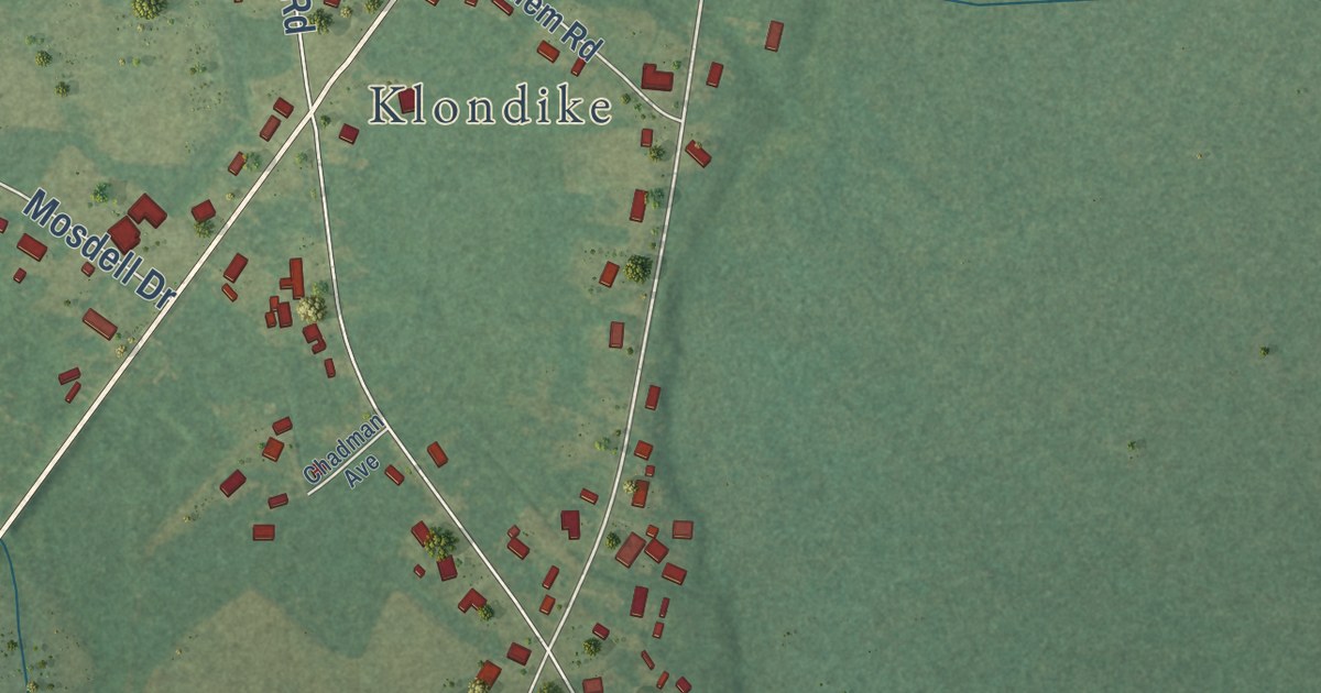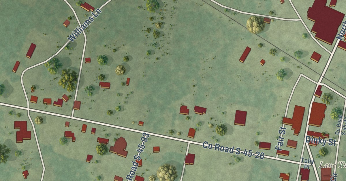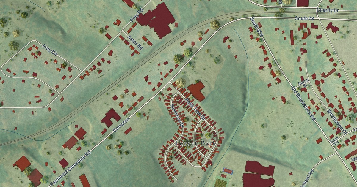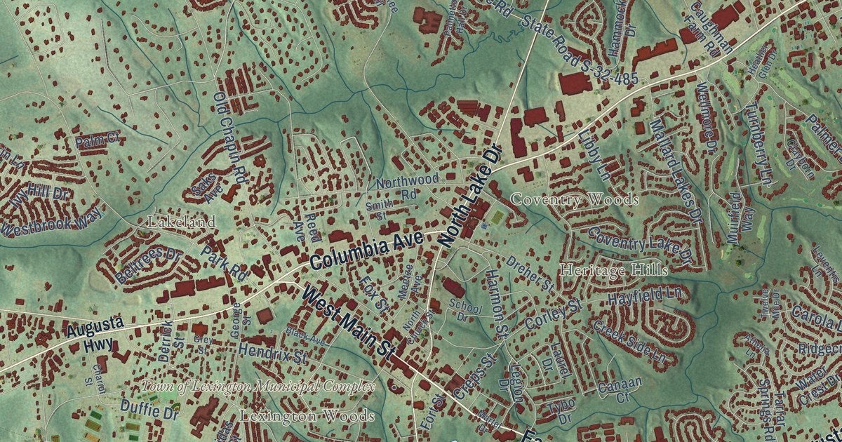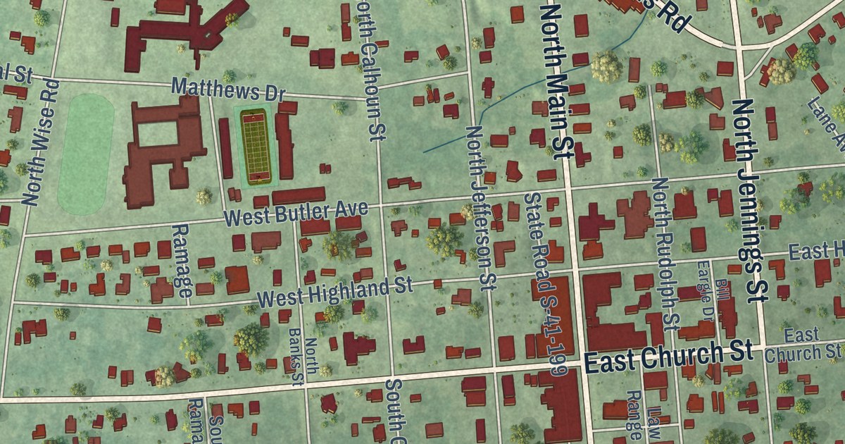
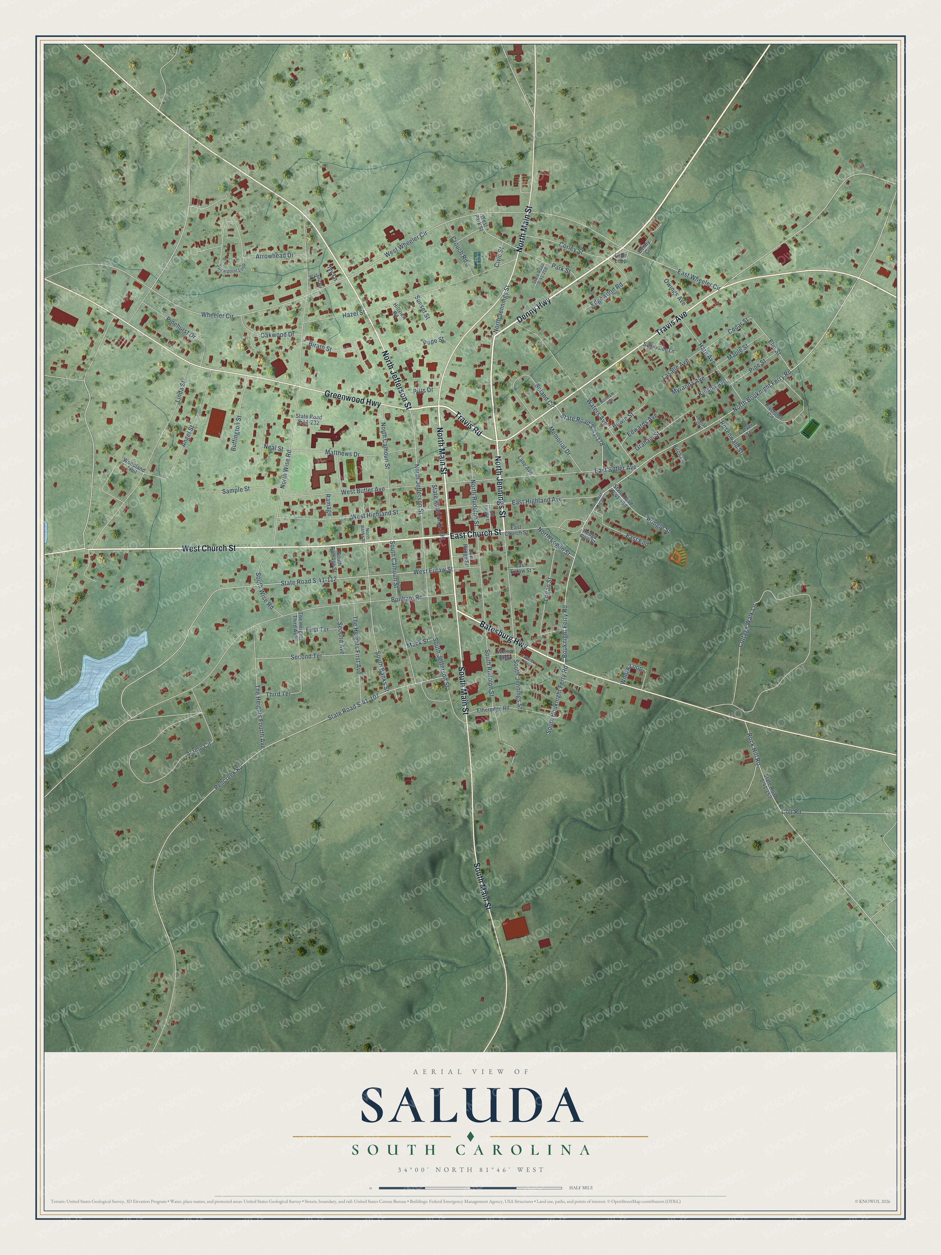
This beautifully detailed map of Saluda, South Carolina was created in 2026 using aerial imagery combined with modern topographical, census, street and landmark data. It’s a one-of-a-kind view of Saluda that combines accurate data with a vintage aesthetic. The map shows every building in its true location, many of the roads carry their names, and the shaded topographic relief shows the shape of the land.
Explore an aerial view of Saluda, South Carolina
On the map you’ll find North Jennings Street, Denny Highway, East Church Street, West Church Street, Batesburg Highway, Travis Road, North Jefferson Street, South Main Street, Greenwood Highway, North Main Street, Travis Avenue, Bouknight Ferry Road, and more. If you look closely you can even find your house accurately drawn in its correct location. Zoom in on the preview to look for yours.
Did you know this piece of Saluda, South Carolina history?
From Scencyclopedia.org: "On July 28, 1896, the cornerstone was laid for the courthouse, and the first town lots sold shortly thereafter."
Take a closer look at the Saluda map
Street names on the Saluda, South Carolina map
These names are printed on the map of Saluda, South Carolina.
Streets and roads: North Jennings Street, Denny Highway, West Church Street, East Church Street, Travis Road, Batesburg Highway, North Jefferson Street, South Main Street, Greenwood Highway, North Main Street, Travis Avenue, North Bouknight Ferry Road.
More street names, A to Z
Alamo Circle, Angel Street, Arrowhead Drive, Bill Eargle Drive, Birath Street, Birch Lane, Boland Circle, Bonham Avenue, Bonham Road, Bouknight Ferry Road, Bowie Street, Buffington Street, Caballero Way, Carver Street, Cedar Street, Civic Street, Colt Road, Corley Street, Cottage Walk Lane, Crouch Road, Denny Circle, East Butler Avenue, East End, East Eutaw Street, East Highland Avenue, East Wheeler Circle, Edgewood Road, Edwards Avenue, Elm Street, Etheredge Road, First Terrace, Graham Street, Hare Avenue, Hazel Street, Hedge Row Street, Hillview Road, Ivy Lane, Keisha Avenue, Lane Avenue, Lasalle Avenue, Law Range Street, Linda Street, Liner Loop, Logan Street, Mack Street, Maple Street, Matthews Drive, Memorial Drive, Myranda Avenue, Neal Street, North Banks Street, North Calhoun Street, North Logan Street, North Rudolph Street, North Wise Road, Oakwood Drive, Owings Avenue, Park Street, Pencreek Road, Pinehurst Drive, Pine Street, Pitts Drive, Plateau Road, Pope Street, Pringle Street, Ramage, Riverside Circle, Rock Hill Road, Rosenwald Street, Sample Street, Second Avenue, Second Terrace, South Banks Street, South Bouknight Ferry Road, South Calhoun Street, South Jefferson Street, South Jennings Street, South Ramage Street, South Rudolph Street, South Wise Road, Spearpoint Loop, State Road S-41-33, State Road S-41-107, State Road S-41-112, State Road S-41-152, State Road S-41-178, State Road S-41-199, State Road S-41-208, State Road S-41-232, State Road S-41-490, Sunnyside Lane, Sunrise Drive, Sunset Street, The Heights First Avenue, The Heights Fourth Avenue, The Heights Third Avenue, Third Terrace, Waters Avenue, Werts Alley, West Butler Avenue, West Eutaw Street, West Highland Street, West Park Street, West Wheeler Circle, Wheeler Circle, Willow Loop, Woodland Trail.
See the Saluda, South Carolina map on a wall
The Saluda map as an 18 x 24 inch print in a black frame.

This beautifully detailed map of Saluda makes an attractive addition to your office, library, or den, and it can even be used to teach children the geography and history of the area. It also makes a great gift for anyone with Saluda roots. When you’re done exploring, click here to get your copy of the Saluda map.