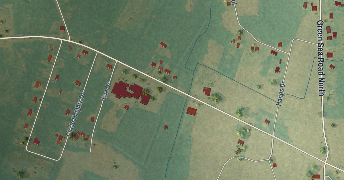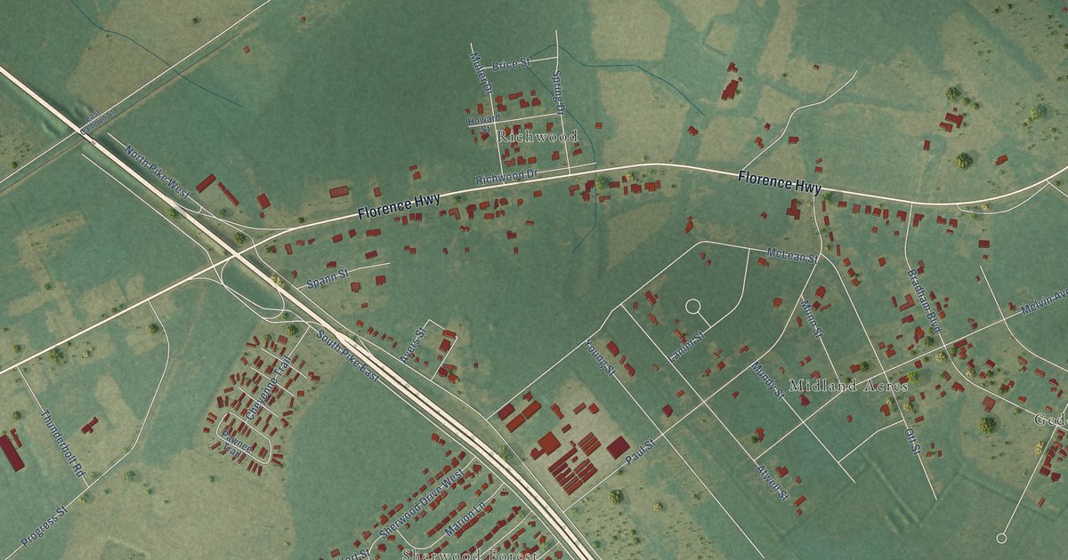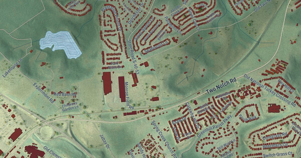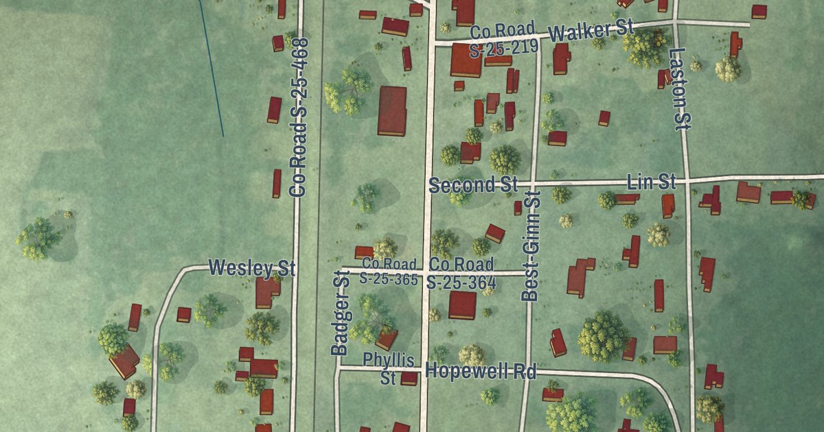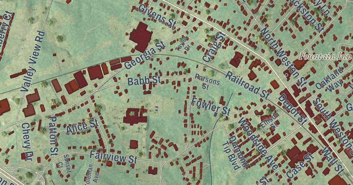
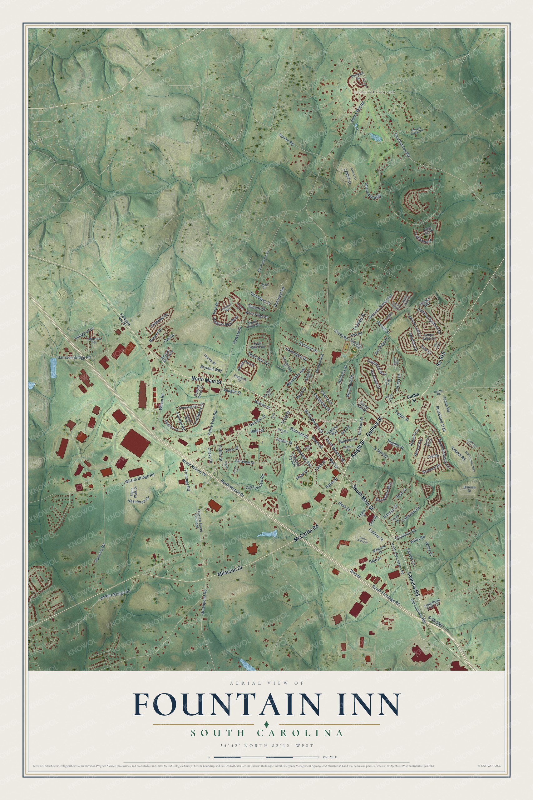
This beautifully detailed map of Fountain Inn, South Carolina was created in 2026 using aerial imagery combined with modern topographical, census, street and landmark data. It’s a one-of-a-kind view of Fountain Inn that combines accurate data with a vintage aesthetic. The map shows every building in its true location, many of the roads carry their names, and the shaded topographic relief shows the shape of the land.
Explore an aerial view of Fountain Inn, South Carolina
On the map you’ll find Gaylords Crossroads and Sc-418, along with South Main Street, McCarter Road, Knight Street, Gulliver Street, Laurens Road, North Main Street, Milacron Drive, Old Laurens Road, North Woods Drive, South Weston Street, and more. If you look closely you can even find your house accurately drawn in its correct location. Zoom in on the preview to look for yours.
Did you know this piece of Fountain Inn, South Carolina history?
From Scencyclopedia.org: "Noah Cannon bought a large tract of land south of the inn following the Civil War and opened a store, but no real center existed until after the 1886 arrival of the Charleston and Western Carolina Railroad, which ran between Laurens and Greenville."
Take a closer look at the Fountain Inn map
Street and place names on the Fountain Inn, South Carolina map
These names are printed on the map of Fountain Inn, South Carolina.
Places: Fountain Inn City Hall and Gaylords Crossroads.
Streets and roads: North Main Street, South Main Street, Laurens Road, Gulliver Street, Knight Street, McCarter Road, Milacron Drive, Sc-418, North Woods Drive, Old Laurens Road, North Nelson Drive, Frontage Road.
More street names, A to Z
Alice Street, Alyssa Landing Drive, Ariel Court, Autumn Leaf Lane, Babb Street, Barred Owl Drive, Bates Street, Belgian Blue Way, Belmont Drive, Blue Ridge Drive, Boyd Street, Brisbane Drive, Brooklawn Drive, Bruinen Drive, Bryland Way, Bryson Drive, Cannon Street, Case Street, Catterick Way, Chapman Road, Charlie Way, Cherry Lane, Chevy Drive, Coleman Avenue, Coppa Court, Country Apple Court, Country Gardens Drive, Craig Street, Crest Hill Drive, Cross Road, Dale Drive, Depot Street, Diamond Tip Boulevard, Donemere Way, Duckett Street, Dunroyal Road, Durbin Road, Durbin Street, Durness Drive, Echline Street, Elgon Walk Drive, Ellison Street, Englefield Drive, Eventide Drive, Fairview Street, Fairview Street Extended, Fairway Forest Vw, Farrow Circle, Flagstar Court, Flannery Court, Fork Road, Forrest Drive, Fortson Way, Fountainbrook Lane, Fountain Inn Drive, Fowler Street, Friendly Street, Frostberry Court, Frost Flower Way, Galleron Court, Garrett Street, Gen III, Georgia Street, Givens Street, Grape Arbor Lane, Gray Circle, Greenpond Road, Harmony Circle, Harrison Bridge Road, Havendale Drive, Hazelcroft Drive, Hellams Street, Hellams Street Extension, Hereford Way, Holstein Court, Howard Creek Drive, Howard Drive, Hughes Street, Hunter Road, Icebow Road, Industrial Drive, Inn Circle, Jenkins Bridge Road, Jones Mill Road, Jones Road, Kendals Lane, Lakeview Drive, Lakeview Terrace, Lak Lane, Maple Drive, Mint Leaf Court, Mitford Way, Nash Street, North Kings Drive, North Old Laurens Road, North Weston Street, Oak Drive, Oakland Way, Old Fairview Road, Parsons Road, Parsons Street, Patton Street, Pele Place, Pheasant Way, Putman Road, Putman Street, Quail Run Circle, Quail Run Trail, Queens Street, Quillen Avenue, Railroad Street, Reagan Way, Redmond Drive, Roper Street, S-30-832, S-30-956, Scarlet Oak Drive, Screech Drive, Scuffletown Road, Shaw Street, Smith Circle, Southeast Main Street, South Frontage Road, South Kings Drive, South Weston Street, Speedway Drive, State Road S-23-889, State Road S-30-731, State Road S-30-737, Stockland Trail, Sunset Court, Sweet Apple Court, Taylor Drive, Ted Drive, Telfair Street, Thackston Street, Thorne Street, Thrift Drive, Torridon Lane, Trailwood Drive, Valley View Road, Vaughn Street, Veryfine Drive, Village Vista Drive, Wall Street, Weathers Circle, Welcome Drive, Wham Road, Whisper Walk Way, Willis Drive, Willis Road, Wilson Bridge Road, Woodland Drive, Woods, Woodside Avenue, Woodvale Avenue.
See the Fountain Inn, South Carolina map on a wall
The Fountain Inn map as an 18 x 24 inch print in a black frame.

This beautifully detailed map of Fountain Inn makes an attractive addition to your office, library, or den, and it can even be used to teach children the geography and history of the area. It also makes a great gift for anyone with Fountain Inn roots. When you’re done exploring, click here to get your copy of the Fountain Inn map.