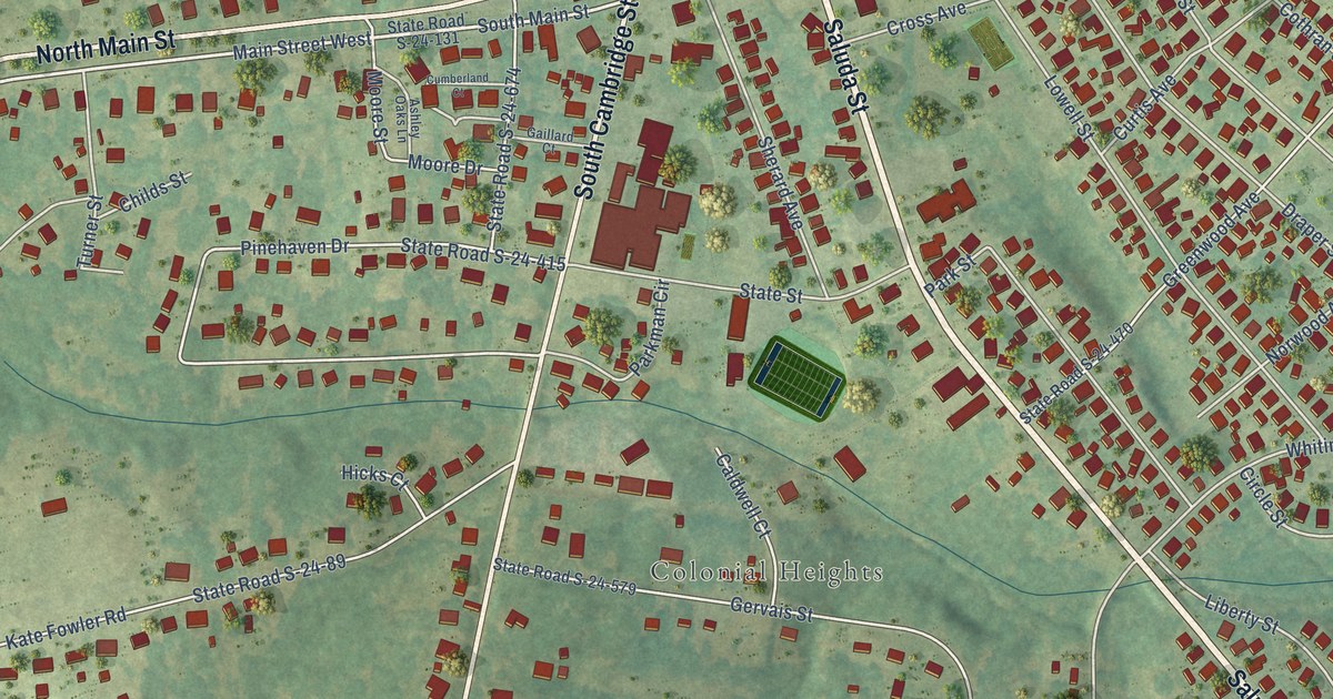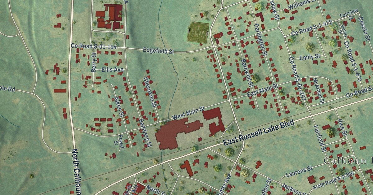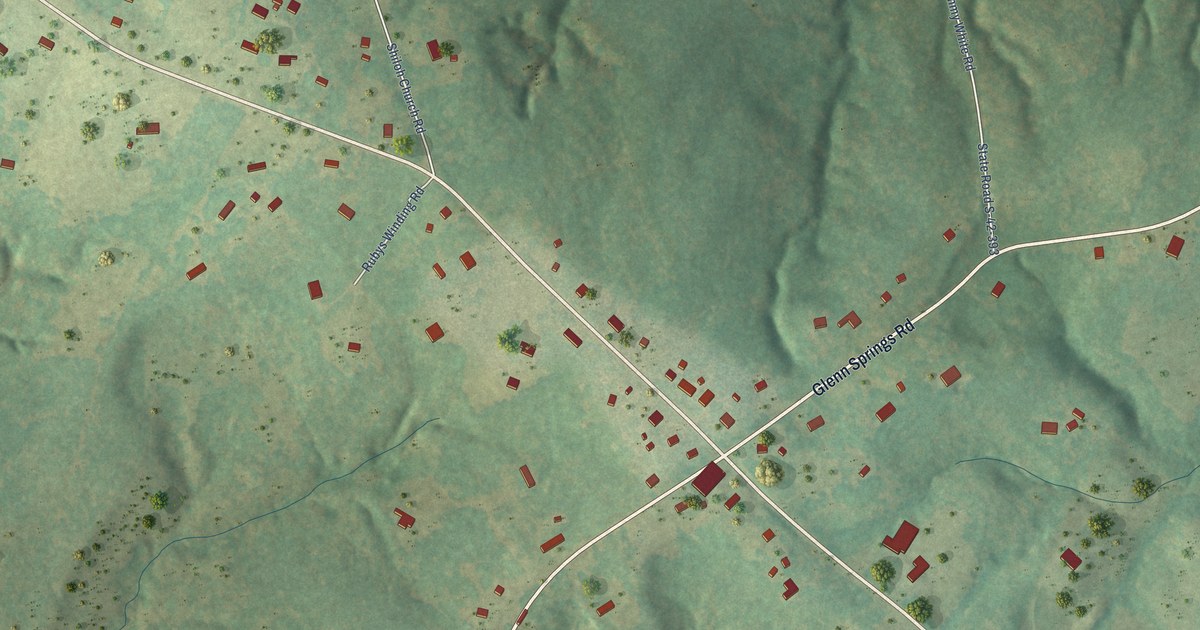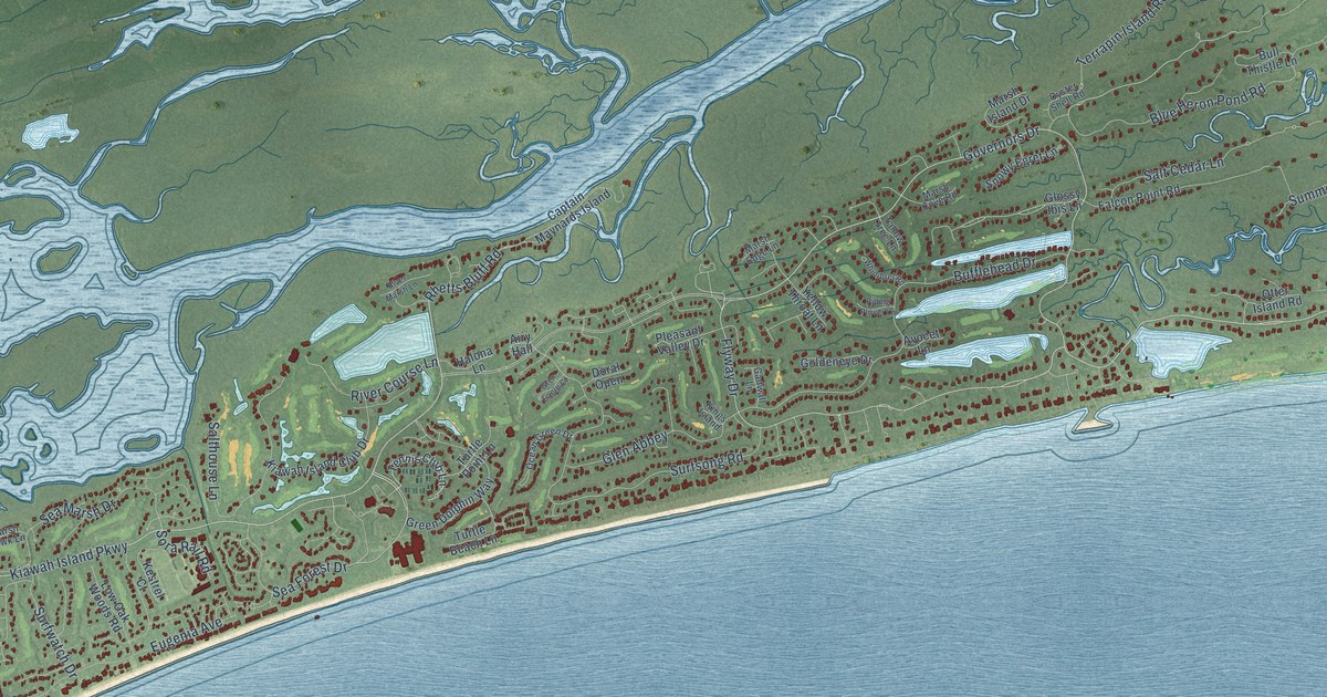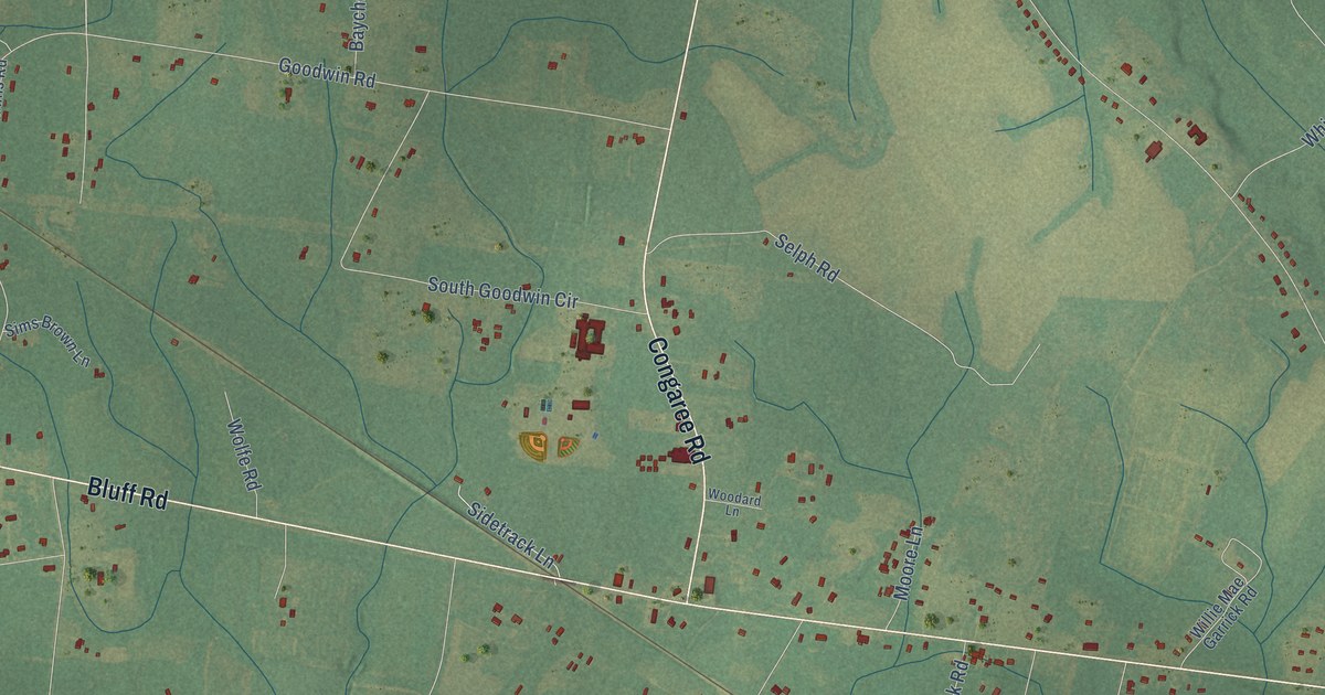
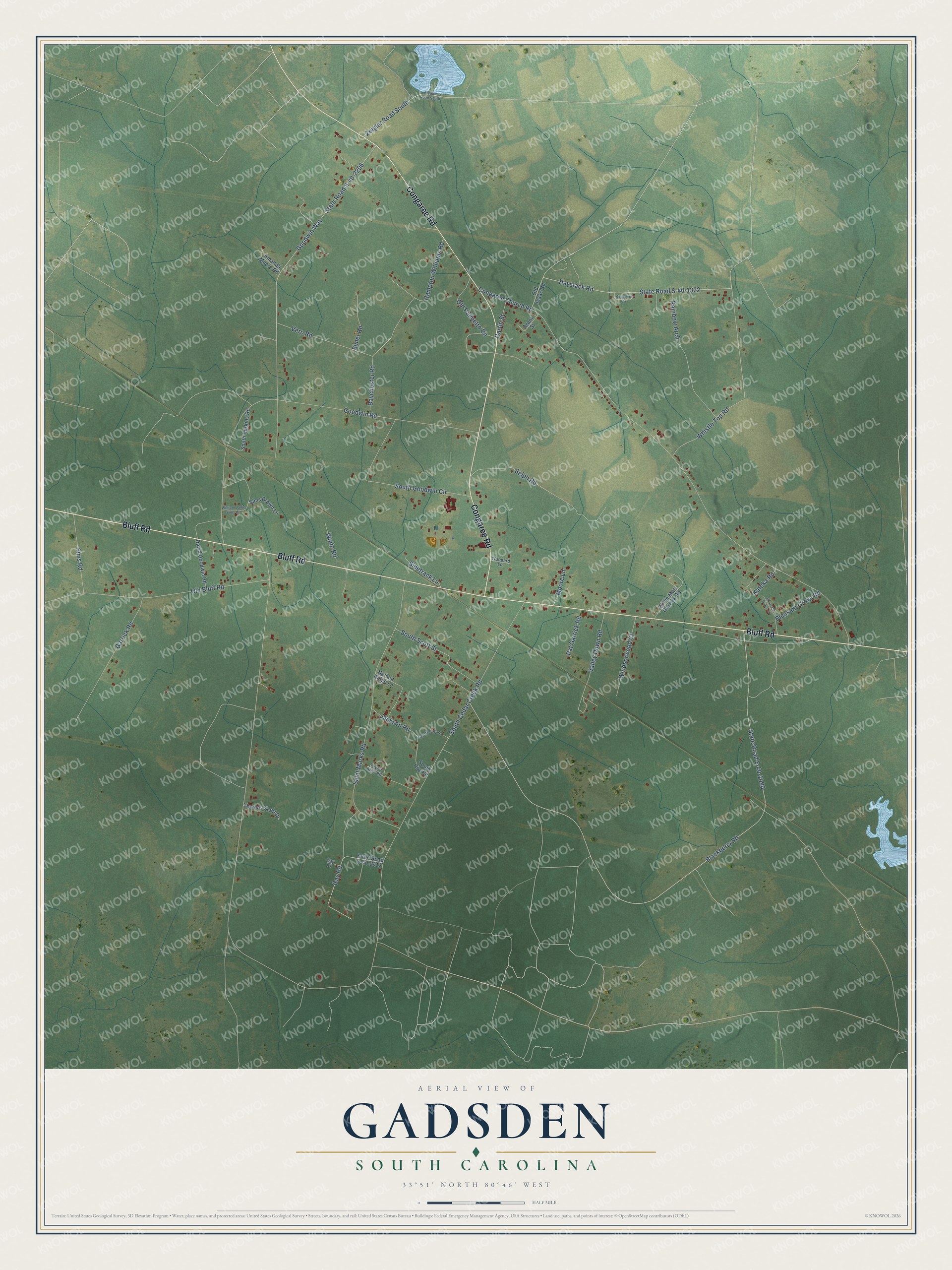
This beautifully detailed map of Gadsden, South Carolina was created in 2026 using aerial imagery combined with modern topographical, census, street and landmark data. It's a modern aerial view of Gadsden in Richland County, South Carolina, that combines modern data with a vintage aesthetic. The roads feature printed names, and if you look closely you can find your exact house accurately shown in its correct location.
Explore an aerial view of Gadsden, South Carolina
On this map you'll find Bluff Road, Congaree Road, South Cedar Creek Road, Congaree Church Road, Blackberry Road, State Road S-40-1090, Goodwin Road, Goodwin Way, State Road S-40-2206, Saint Marks Road, Whistle Top Road, Haystack Road, and more. Each red shape is a building, so zoom in on the preview and look for yours.
Here is a piece of Gadsden history. Gadsden grew up as a stop on the South Carolina Railroad, which was extended from Charleston through Lower Richland to Columbia in 1842. Before that extension, Gadsden was a terminal point on the line, and by 1883 the village had five stores. During the Civil War, troops under General Edward Potter destroyed the Gadsden depot, its water tank, three hundred feet of track and eight freight cars. That's from the National Register of Historic Places.
Gadsden is a community in Richland County. The Census Bureau counted 1,301 people here in 2020.
Take a closer look at the Gadsden map
Names on this map
These names are printed on this map.
Streets and roads: Bluff Road, Congaree Road, South Cedar Creek Road, Congaree Church Road, Blackberry Road, State Road S-40-1090, Goodwin Road, Goodwin Way, State Road S-40-2206, Saint Marks Road, Whistle Top Road, Haystack Road.
More street names, A to Z
Amanda Moore Road, Arant Street, Baychester Road, Cartin Street, David Goodwin Road, East Mobley Road, Garrick Road, Gay Court, Gay Road, Hampton Williams Road, Huguenin Circle, Jackson Road, Kateka Road, Moore Lane, Nathan Ridge Lane, Old Bluff Road, Old Isaac Road, Old Palmetto Circle, Pat Garrick Road, Pleasant Grove Lane, Pleasant Grove Road, Rainbow Arch, Selph Road, Sidetrack Lane, Simet Road, Sims Brown Lane, Sims Road, South Goodwin Circle, South Perkins Road, South Roy Road, South Scott Street, State Road S-40-1322, State Road S-40-2412, Taylor Arch Road, Thomas Scott Drive, Valley Down Road, Vero Road, William Janie Sims Circle, Willie Mae Garrick Road, Windsorwood Court, Wolfe Road, Woodard Lane, Zeigler Road South, Ziegler Road South.
See it on a wall
The Gadsden map as a framed print. Swipe for more.


Created by KNOWOL in 2026. The buildings are small red shapes, the roads carry their printed names, and shaded relief shows the shape of the land. The title panel reads "AERIAL VIEW OF GADSDEN, SOUTH CAROLINA" with 33°51' NORTH 80°46' WEST.
It suits a den, a classroom or a front hall, and it makes a gift for anyone with Gadsden roots. Open the preview and find the block you know. See sizes and frames for the Gadsden map.