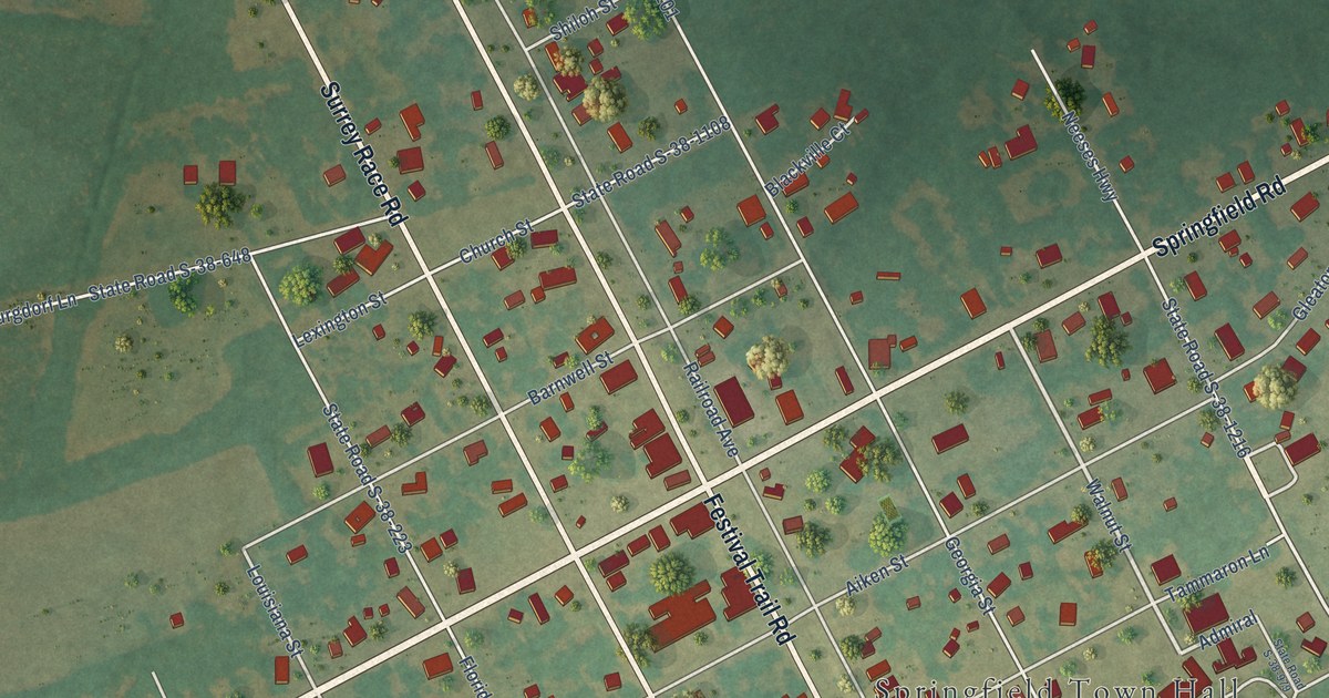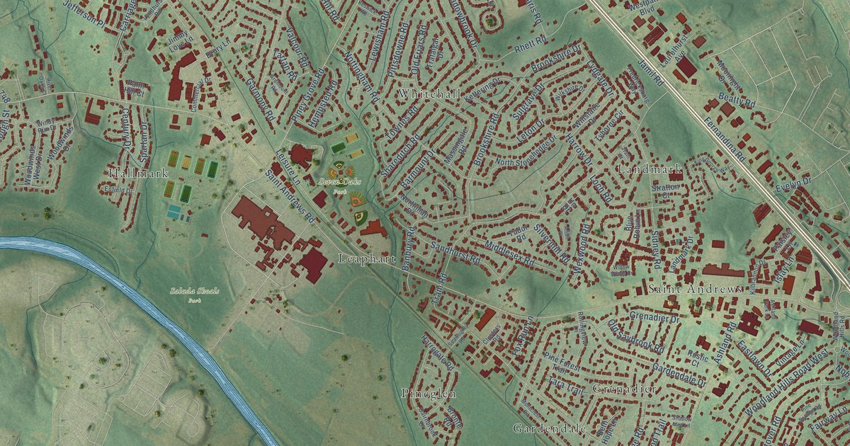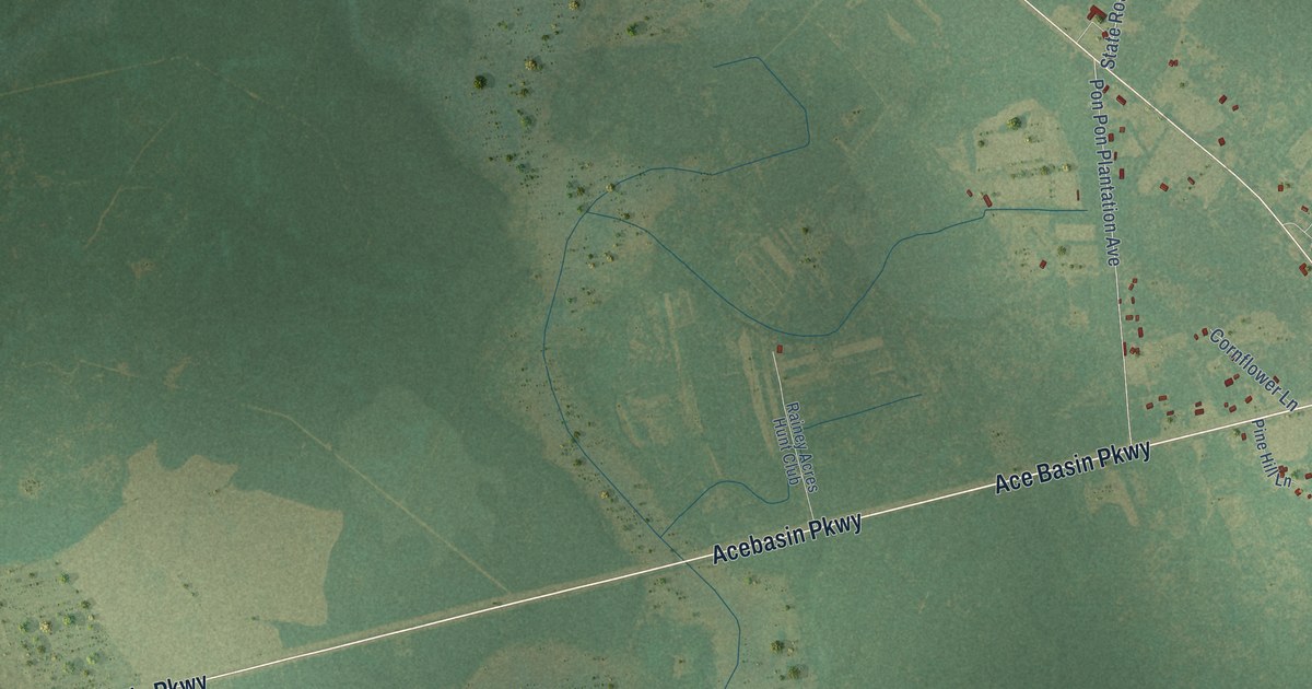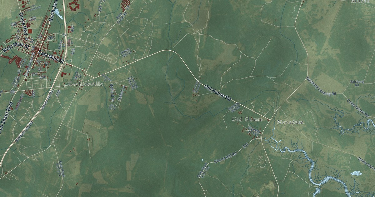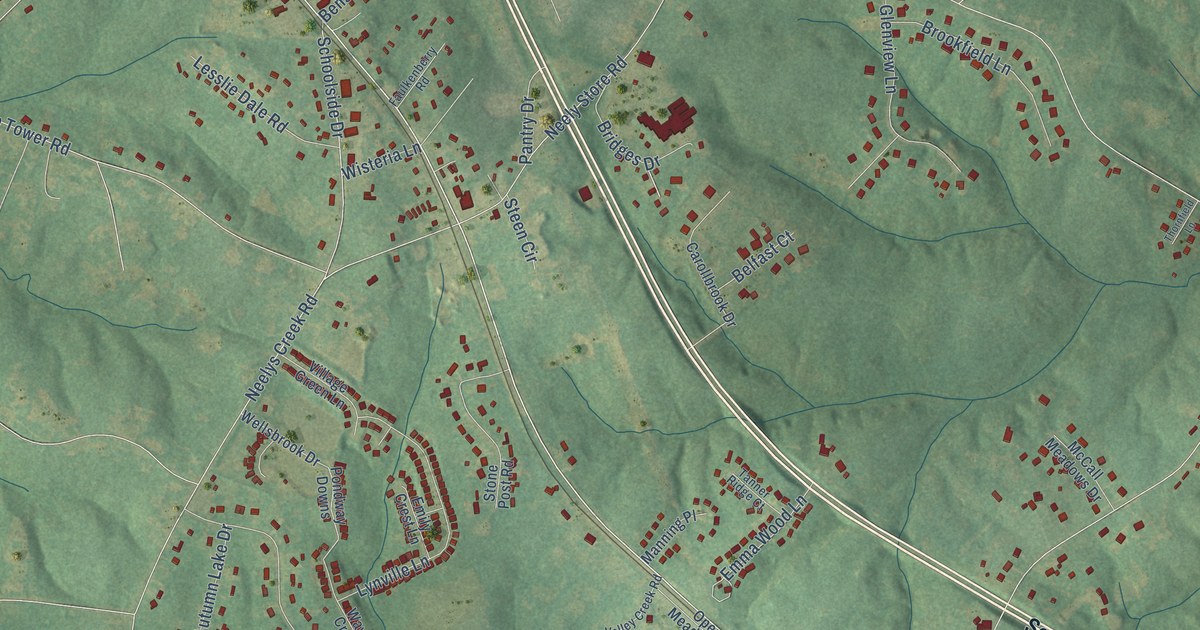
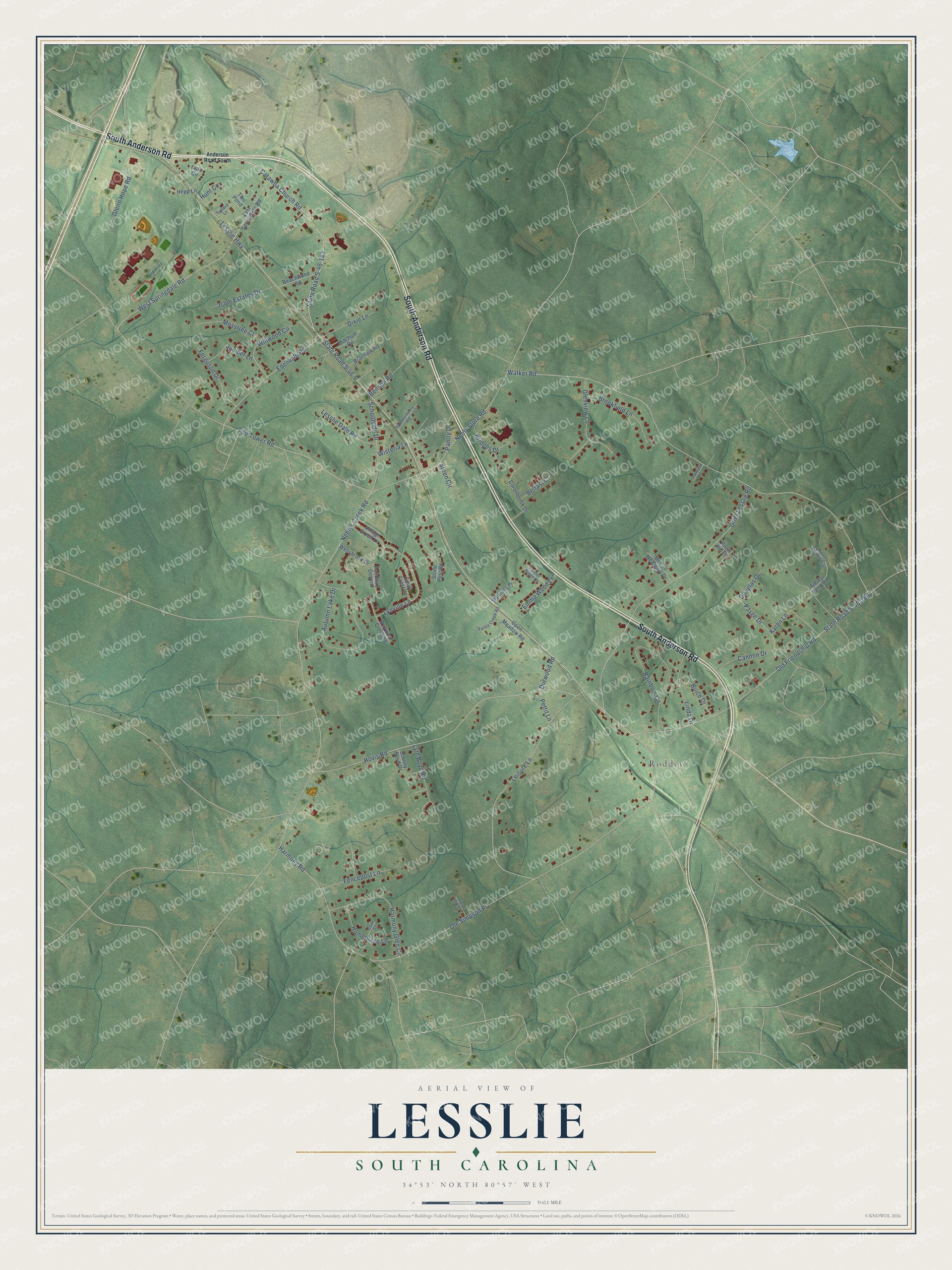
This beautifully detailed map of Lesslie, South Carolina was created in 2026 using aerial imagery combined with modern topographical, census, street and landmark data. It's a modern aerial view of Lesslie in York County, South Carolina, that combines modern data with a vintage aesthetic. The roads feature printed names, and if you look closely you can find your exact house accurately shown in its correct location.
Explore an aerial view of Lesslie, South Carolina
On this map you'll find Roddey, South Anderson Road, Catawba Church Road, Lesslie Highway, State Road S-46-6, Walker Road, Neelys Creek Road, Fire Tower Road, Ole Simpson Place, Hovis Road, Grier Lesslie Road, Old Friendship Road, and more. Each red shape is a building, so zoom in on the preview and look for yours.
Every town has a first chapter, and Lesslie is no exception. Lesslie, sometimes called Lesslie Station, grew up on the Three C's Railroad, which came through in the 1880s. In 1896 the Rock Hill paper called it a growing and thriving town, and Hopewell Presbyterian Church, which dates its start to 1808, moved there and finished a new church in early 1898. A storm blew down much of the first frame in June 1897, and members helped rebuild it, with local contractor W. Brown White building the tower. That's from the Roots and Recall history site.
Lesslie is a community in York County. The Census Bureau counted 3,068 people here in 2020.
Take a closer look at the Lesslie map
Names on this map
These names are printed on this map.
Places: Roddey.
Streets and roads: South Anderson Road, Catawba Church Road, Lesslie Highway, State Road S-46-6, Walker Road, Neelys Creek Road, Fire Tower Road, Ole Simpson Place, Hovis Road, Grier Lesslie Road, Old Friendship Road, Leisure Lane.
More street names, A to Z
Anderson Road South, Autumn Lake Drive, Beachwood Road, Belfast Court, Benson Road, Branham Road, Bridges Drive, Brookfield Lane, Buice Drive, Cannon Drive, Carollbrook Drive, Culp Circle, Dixie Lane, Douglas Drive, Durwood Road, East Springdale Road, Edenvale Road, Emily Crest Lane, Emma Wood Lane, Faulkenberry Road, Fencepost Lane, Ferguson Drive, Fields Farm Road, Glade Court, Glenn Hope Road, Glenview Lane, Grey Dove Lane, Harmony Glen Circle, Harmony Road, Hepp Lane, Homeplace Lane, Hunt Circle, Isom Estates Drive, Johnny Boyd Drive, Juniper Lane, Karen Lane, Knotty Branch Trail, Lesslie Dale Road, Linda Drive, Lyle Boyd Road, Lynville Lane, Manning Place, McCall Meadows Drive, Mitchum Road, Mosstree Court, Neely Store Road, Open Meadow Road, Pantry Drive, Payge Drive, Pettit Lane, Pondway Downs, Rainbow Circle, Rose Hill Drive, Sandra Lane, Schoolside Drive, State Road S-46-143, State Road S-46-160, Steen Circle, Stone Post Road, Tanner Ridge Court, Thornfield Lane, Two Pond, Valley Creek Road, Village Green Lane, Wayward Crossing, Wellsbrook Drive, West Springdale Road, Willwood Circle, Wisteria Lane.
See it on a wall
The Lesslie map as a framed print. Swipe for more.


Created by KNOWOL in 2026. The buildings are small red shapes, the roads carry their printed names, and shaded relief shows the shape of the land. The title panel reads "AERIAL VIEW OF LESSLIE, SOUTH CAROLINA" with 34°53' NORTH 80°57' WEST.
Hang it in the hallway, the office or the cabin, or give it to someone who left Lesslie and still calls it home. Open the preview and look for a street you know. See sizes and frames for the Lesslie map.