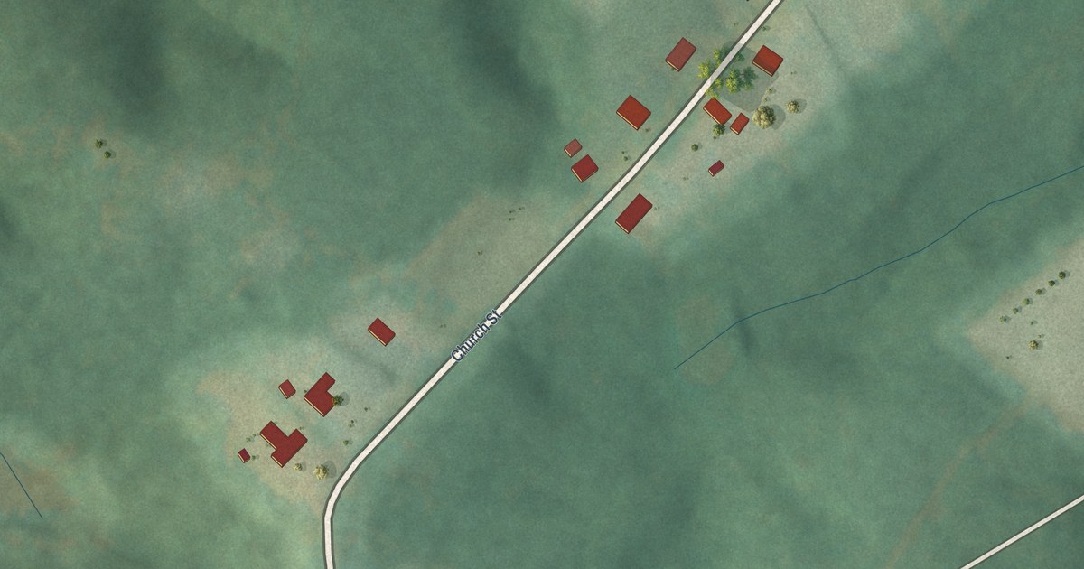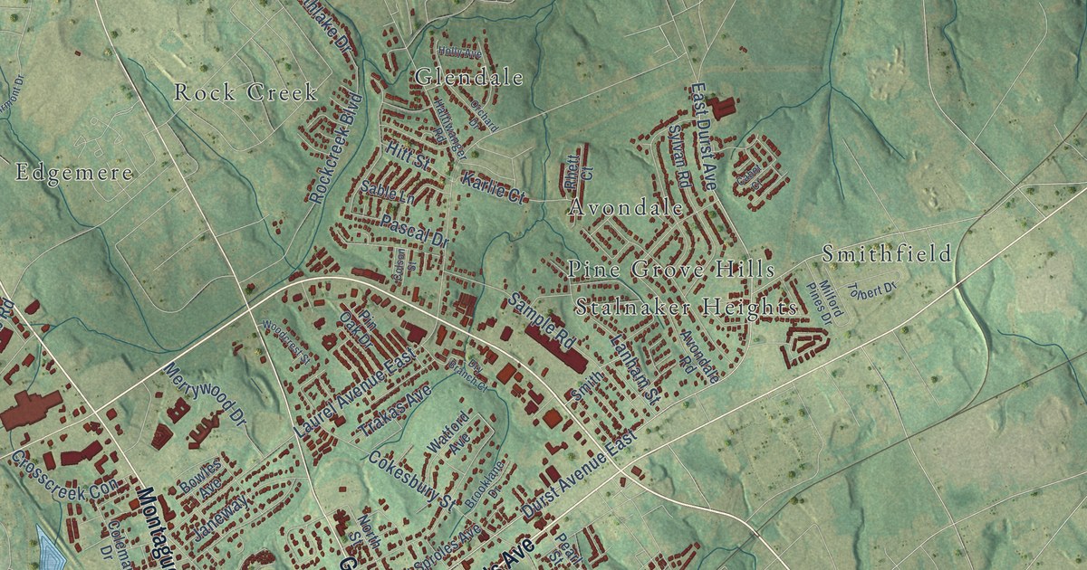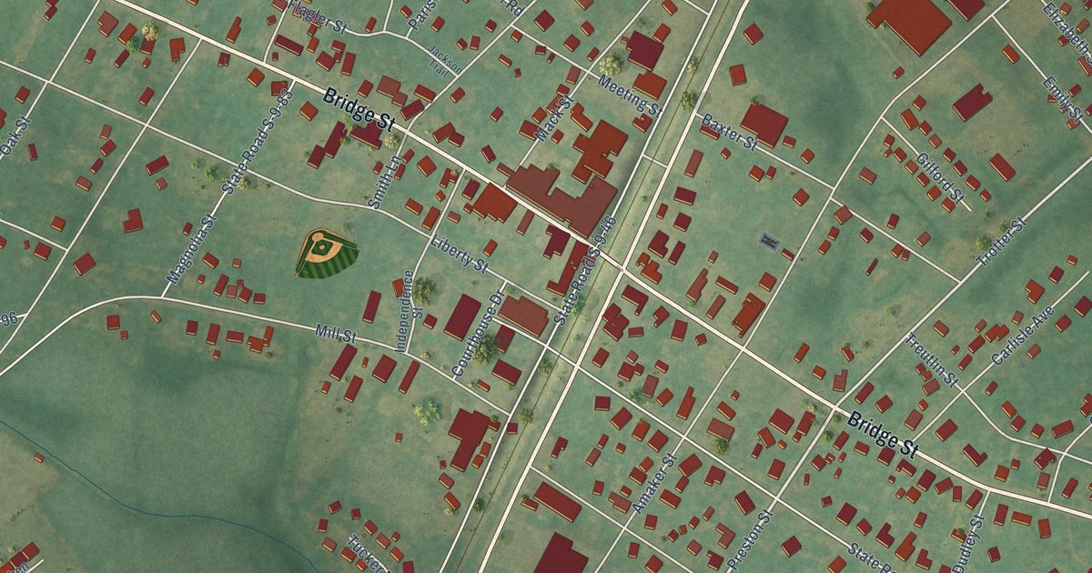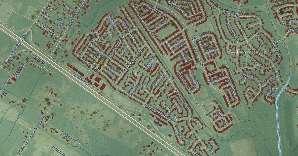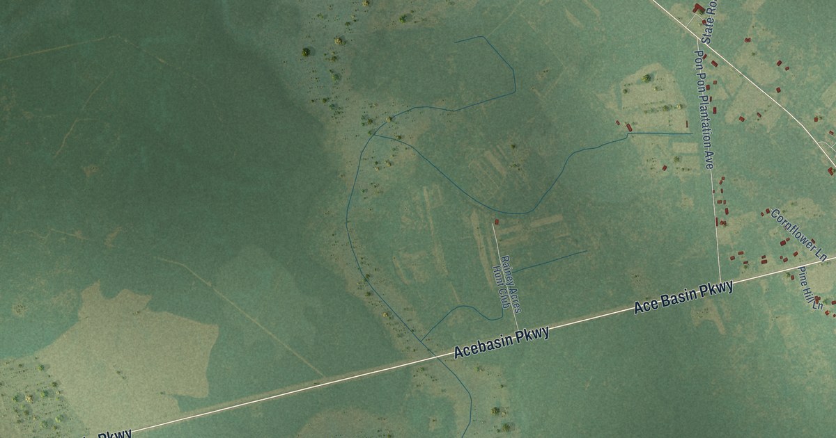
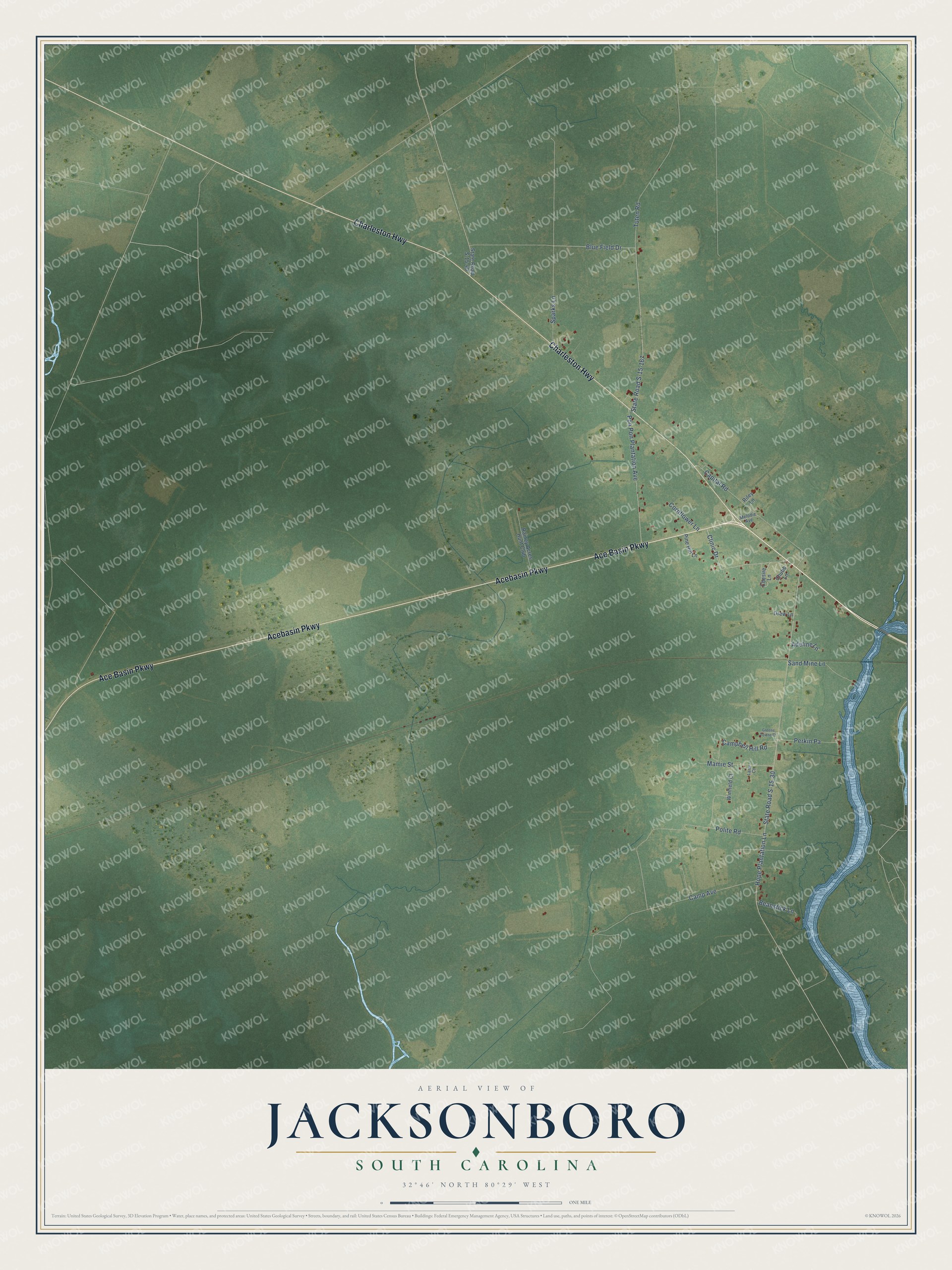
This beautifully detailed map of Jacksonboro, South Carolina was created in 2026 using aerial imagery combined with modern topographical, census, street and landmark data. It's a modern aerial view of Jacksonboro in Colleton County, South Carolina, that combines modern data with a vintage aesthetic. The roads feature printed names, and if you look closely you can find your exact house accurately shown in its correct location.
Explore an aerial view of Jacksonboro, South Carolina
On this map you'll find Ace Basin Parkway, Acebasin Parkway, Charleston Highway, Clinic Drive, Blue Field Drive, State Road S-15-167, State Road S-15-30, Hope Plantation Lane, Polite Road, Tuten Road, Camp Avenue, Capital Road, and more. Each red shape is a building, so zoom in on the preview and look for yours.
Every town has a first chapter, and Jacksonboro is no exception. Jacksonborough, on the banks of the Edisto River, was South Carolina's only provisional state capital. With the British still holding Charleston, the General Assembly met in the village for its 1782 session, in the Masonic Lodge and in the tavern of Peter DuBose. That assembly elected John Matthews governor on January 31, 1782, succeeding John Rutledge. That's from the South Carolina General Assembly.
Jacksonboro is a community in Colleton County. The Census Bureau counted 412 people here in 2020.
Take a closer look at the Jacksonboro map
Names on this map
These names are printed on this map.
Streets and roads: Ace Basin Parkway, Acebasin Parkway, Charleston Highway, Clinic Drive, Blue Field Drive, State Road S-15-167, State Road S-15-30, Hope Plantation Lane, Polite Road, Tuten Road, Camp Avenue, Capital Road.
More street names, A to Z
Adeline Lane, Beanstick Lane, Campbell Hill Road, Chesire Lane, Chubb Lane, Cornflower Lane, Drew Lane, Greene Towne Court, Lamr Court, Mamie Street, Melodie Avenue, Perkin Pa, Pine Hill Lane, Pon Pon Plantation Avenue, Rainey Acres Hunt Club, Riley Lane, Sand Mine Lane, Sparks Lane, State Road S-15-40, Winfield Court.
See it on a wall
The Jacksonboro map as a framed print. Swipe for more.


Created by KNOWOL in 2026. The buildings are small red shapes, the roads carry their printed names, and shaded relief shows the shape of the land. The title panel reads "AERIAL VIEW OF JACKSONBORO, SOUTH CAROLINA" with 32°46' NORTH 80°29' WEST.
Hang it in the hallway, the office or the cabin, or give it to someone who left Jacksonboro and still calls it home. Open the preview and look for a street you know. See sizes and frames for the Jacksonboro map.