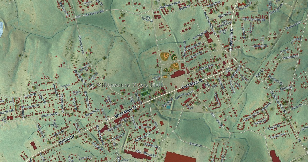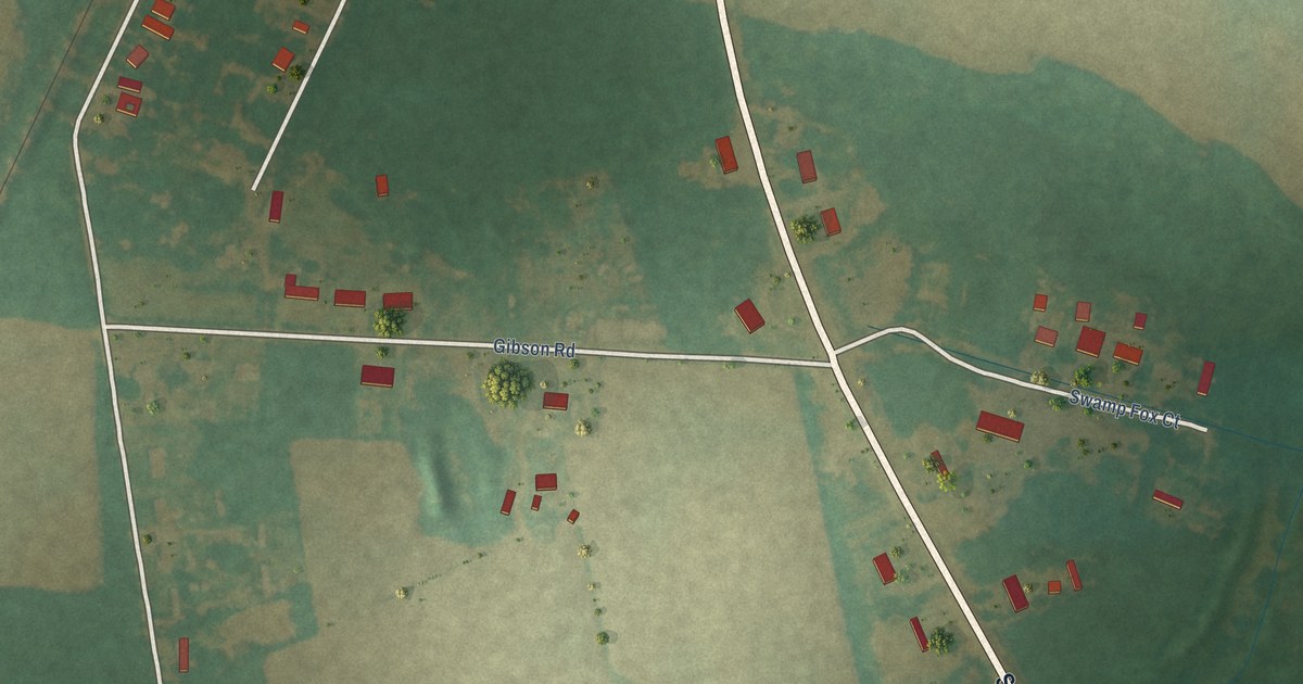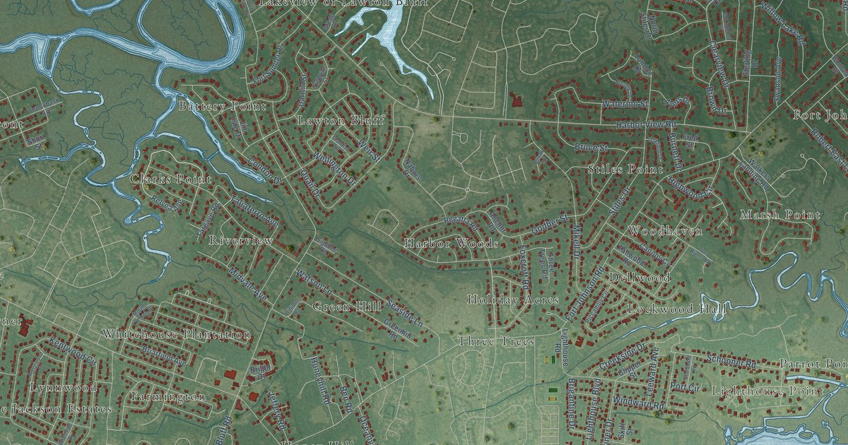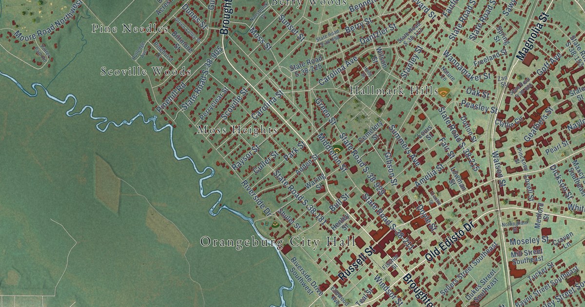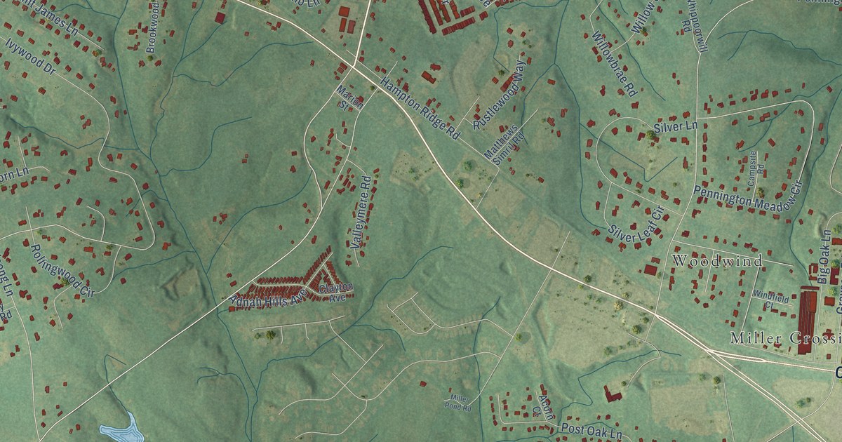
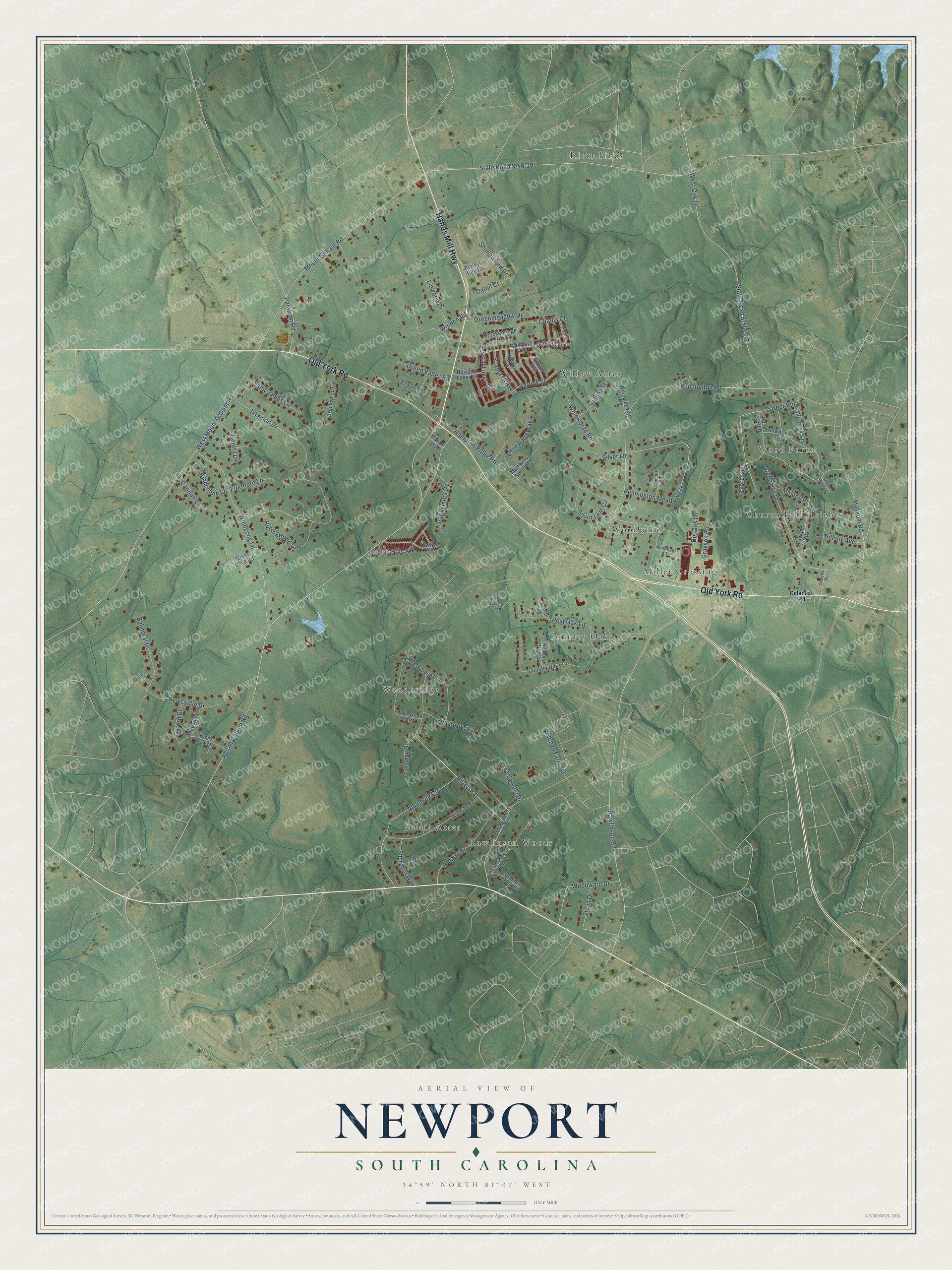
This beautifully detailed map of Newport, South Carolina was created in 2026 using aerial imagery combined with modern topographical, census, street and landmark data. It's a modern aerial view of Newport in York County, South Carolina, that combines modern data with a vintage aesthetic. The roads feature printed names, and if you look closely you can find your exact house accurately shown in its correct location.
Explore an aerial view of Newport, South Carolina
On this map you'll find Miller Crossing, River Pines, Belair Acres, Wood Forest, Woodbridge, Willow Acres, Country Oaks, Church Hill Heights, Rawlinson Woods, Woodwind, Hands Mill Highway, Old York Road, and more. Each red shape is a building, so zoom in on the preview and look for yours.
Newport has a story worth telling. Newport grew up as a railroad stop. In 1888 the Rock Hill paper reported that the railroad planned a depot at Newport, the center of a prosperous community, and in early 1889 a post office named Newport opened on the line between Yorkville and Rock Hill. Within a few years Newport had a store, a warehouse, a brickyard, a school and a cotton gin. That's from the Roots and Recall history site.
Newport is a community in York County. The Census Bureau counted 4,744 people here in 2020.
Take a closer look at the Newport map
Names on this map
These names are printed on this map.
Places: Miller Crossing, River Pines, Belair Acres, Wood Forest, Woodbridge, Willow Acres, Country Oaks, Church Hill Heights, Rawlinson Woods and Woodwind.
Streets and roads: Hands Mill Highway, Old York Road, Adnah Church Road, Hilton Road, Malone Place, State Road S-46-195, Mount Gallant Road, West Mount Gallant Road, Pennington Road, Ivywood Drive, State Road S-46-962, West Oak Drive.
More street names, A to Z
Acorn Court, Adnah Hills Avenue, Allendale Circle, Baileys Run Drive, Balmoral Drive, Belaire Drive, Big Oak Lane, Bobbie Lane, Breckenridge Place, Brookwood Circle, Brynwood Drive, Campsite Road, Caraway Drive, Carillon Court, Cedarvale Drive, Celanese Road, Challis Court, Churchill Drive, Clayton Avenue, Country Oaks Drive, Crystal Lakes Drive, Cypress Cv, Dalkieth Avenue, Dantzler Court, Deer Run, Echo Lane, Ettrick Avenue, Firethorn Lane, Gentry Lane, Grayson Road, Green Bay Drive, Greenmeadow Drive, Green Valley Road, Hampton Ridge Road, Hickory Nut Court, Idlewild Drive, Inwood Drive, Ketchen Farm Road, Kings Row Drive, Linwood Drive, Marion Street, Matthews Simril Road, Melvista Avenue, Miller Pond Road, Montgomery Drive, Museum Road, Newcastle Drive, Newport Lakes Drive, Newton Avenue, Oxford Drive, Oxtail Court, Paraham Road, Pennington Meadow Circle, Piccadilly Lane, Pine Grove Court, Post Oak Lane, Rawlinson Road, Rillaby Avenue, Rollingwood Circle, Roxburgh Avenue, Rustlewood Way, Saint James Lane, Shallowford Drive, Sheraton Way, Silver Lane, Silver Leaf Circle, Sloan Drive, Summer Creek Court, Timber Ridge Lane, Valleymere Road, Wayland Road, Whippoorwill Road, White Pine Court, Willowbrae Road, Willow Street, Windchime Lane, Winden Road, Windfield Court, Windsong Lane, Windy Cove Road, Winrock Lane, Wood Forest Drive, Woodward Drive, Woodway Lane, Yarrow Street.
See it on a wall
The Newport map as a framed print. Swipe for more.


Created by KNOWOL in 2026. The buildings are small red shapes, the roads carry their printed names, and shaded relief shows the shape of the land. The title panel reads "AERIAL VIEW OF NEWPORT, SOUTH CAROLINA" with 34°59' NORTH 81°07' WEST.
It looks right in a kitchen, an office or a den, and it's a gift for anyone who grew up in Newport or moved away. Open the preview and find your street. See sizes and frames for the Newport map.